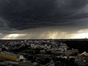
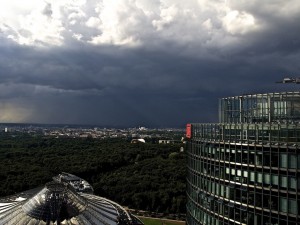
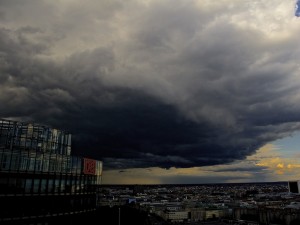
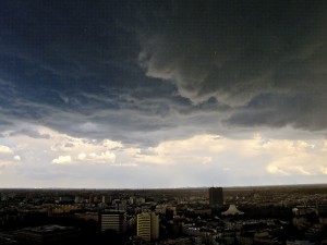
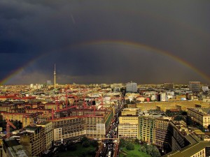
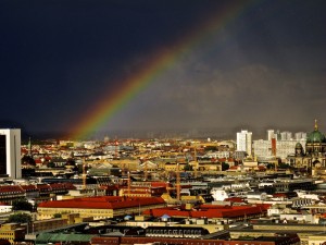
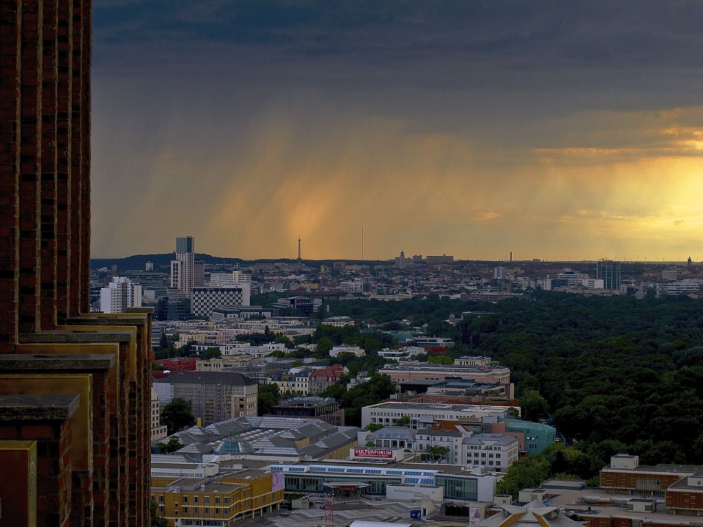
 July and August 2013 lead to new weather extremes in Germany and Europe after a monster-flood in June caused tremendous costs and will be remembered as setting new records. The first half of July saw a mix between some colder days, warm weather and cloudy skies sometimes in Northeast Germany but that changed later dramatically. Hot air from the Sahara not only created a dusty sky but an extraordinary heat wave. Particularly in Berlin people enjoyed the hot temperatures first, as could be seen at the Schlachtensee where locals partied along with young tourists from around the world. However things got a different turn when humidity was rising after July 28. Both days, July 27 and July 28, were extremely hot in the capital but in the evening of July 28 the weather change began with gusts of wind and dark clouds in the evening. However unlike other parts of the country there were no big storms. For a few days it was colder but not for too long:
The heat came back and between August 3 and August 8 this time heavy thunderstorms created a lot of damage in many parts of Germany. In Berlin cellars were flooded and the thunderstorms caused long delays in railway traffic after trees fell upon the tracks between Berlin and Hamburg. In the evening of August 8 the weather calmed and an impressing sunset with red clouds could be seen.
