Die Kuhfluchtfälle in Oberbayern
Unweit von Garmisch-Partenkirchen bietet ein tolles Motiv viele Möglichkeiten für Fotograf:innen. Die Kuhflucht-Wasserfälle sind nicht so berühmt wie die weltbekannte Partnachklamm, aber sie sind auf jeden Fall einen Ausflug wert. Vor allem für Familien ist der Erlebniswanderweg, der zu ihnen führt, ein tolles Ziel.
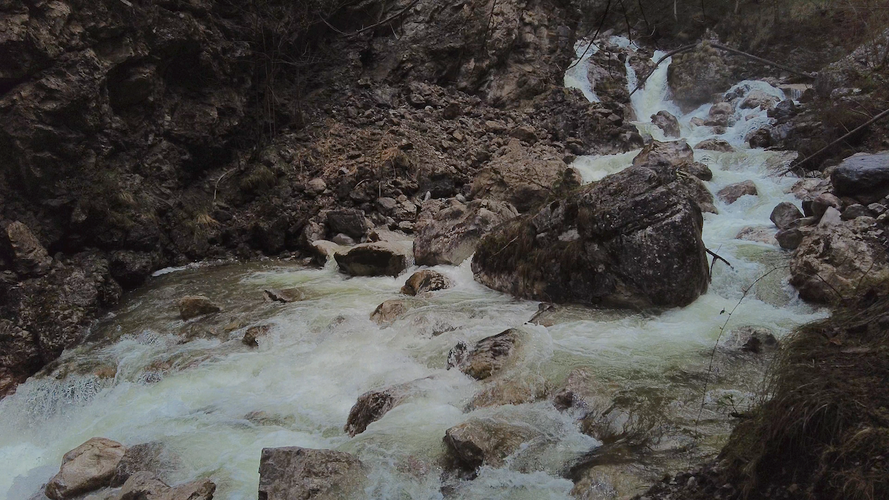
Bevor man einen Ausflug dorthin plant, sollte man allerdings einige Fakten kennen: Die Kuhflucht-Wasserfälle haben eine Höhe von 270 Metern, aber stellt sie euch bitte nicht als einen einzelnen, riesigen Wasserfall vor.
Drei imposante Kaskaden
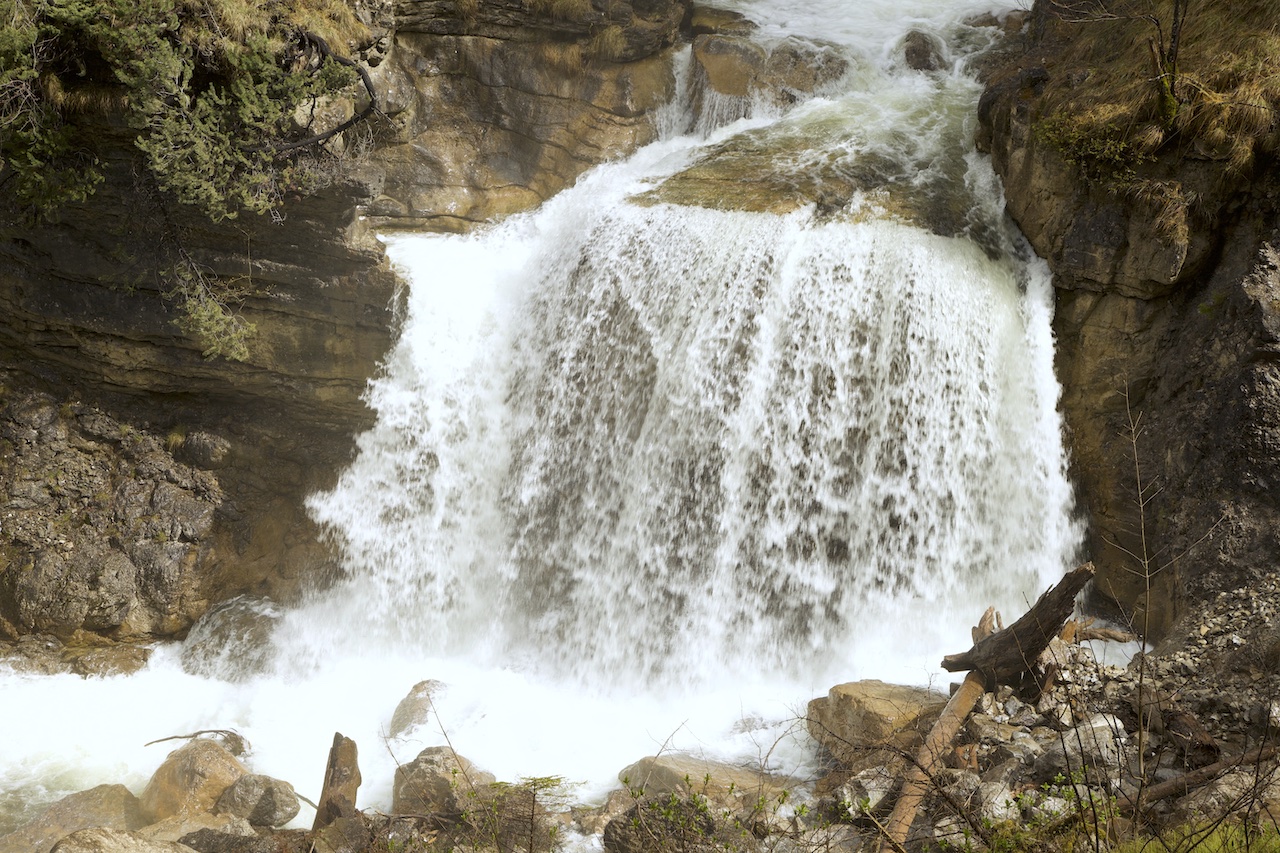
Der Bach stürzt nämlich über einige Stufen und enthält insgesamt drei große Wasserfälle. Der wohl beeindruckendste unter ihnen befindet sich in der Nähe einer Brücke über den Bach.
Die Kaskaden liegen stellenweise in einer Schlucht. Man hat daher nicht überall einen freien Blick auf den gesamten Wasserfall (außer mit einer Drohne, für die eine Genehmigung erforderlich wäre), aber es gibt viele beeindruckende Motive entlang des Weges.
Spaß und Wissen für Groß und Klein
In Farchant gibt es zwei große Parkplätze. Einer davon ist der Ausgangspunkt des Wanderwegs zu den Kuhfluchtfällen. An den Weg schließt sich ein Abenteuer- und Erlebnispfad an, der durch einen Wald führt. Hier wurden zahlreiche Tafeln mit Rätseln, Aufgaben zum Mitmachen und vielen Informationen über die Natur aufgestellt, und auch ein Spielplatz befindet sich entlang des Weges. Kein Wunder, dass nicht nur der untere Teil des Weges, sondern auch dieser zweite Teil vor allem bei Familien und Gruppen mit Kindern besonders beliebt ist.
.
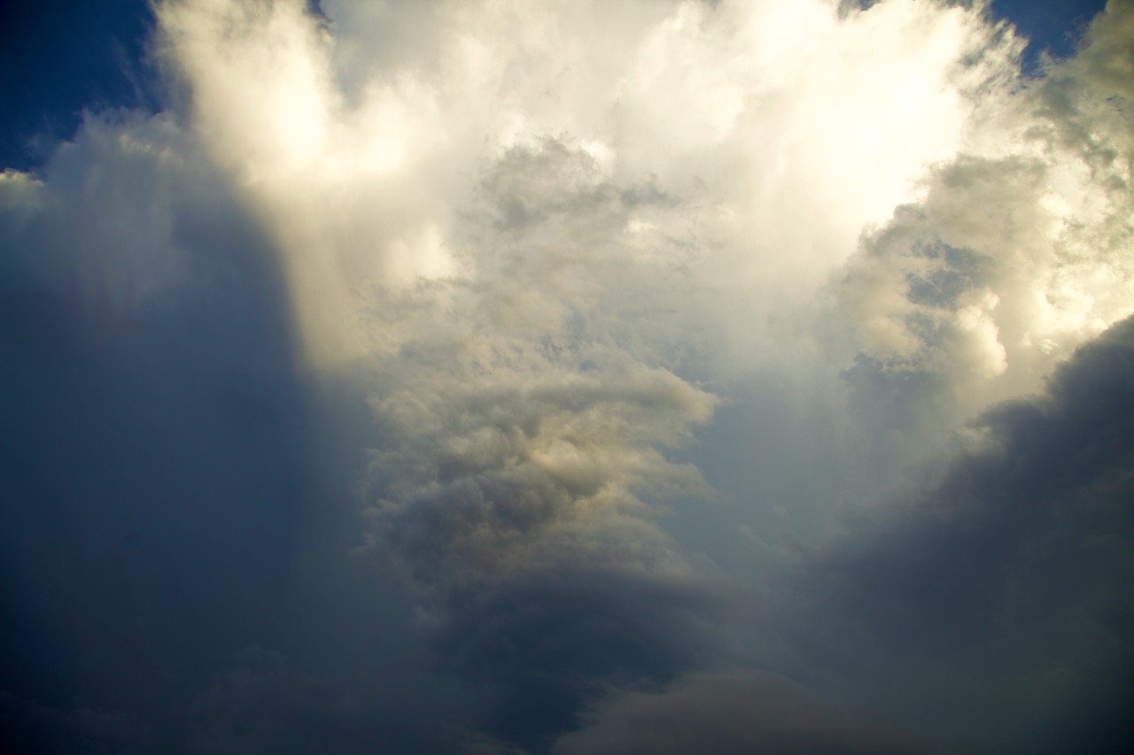
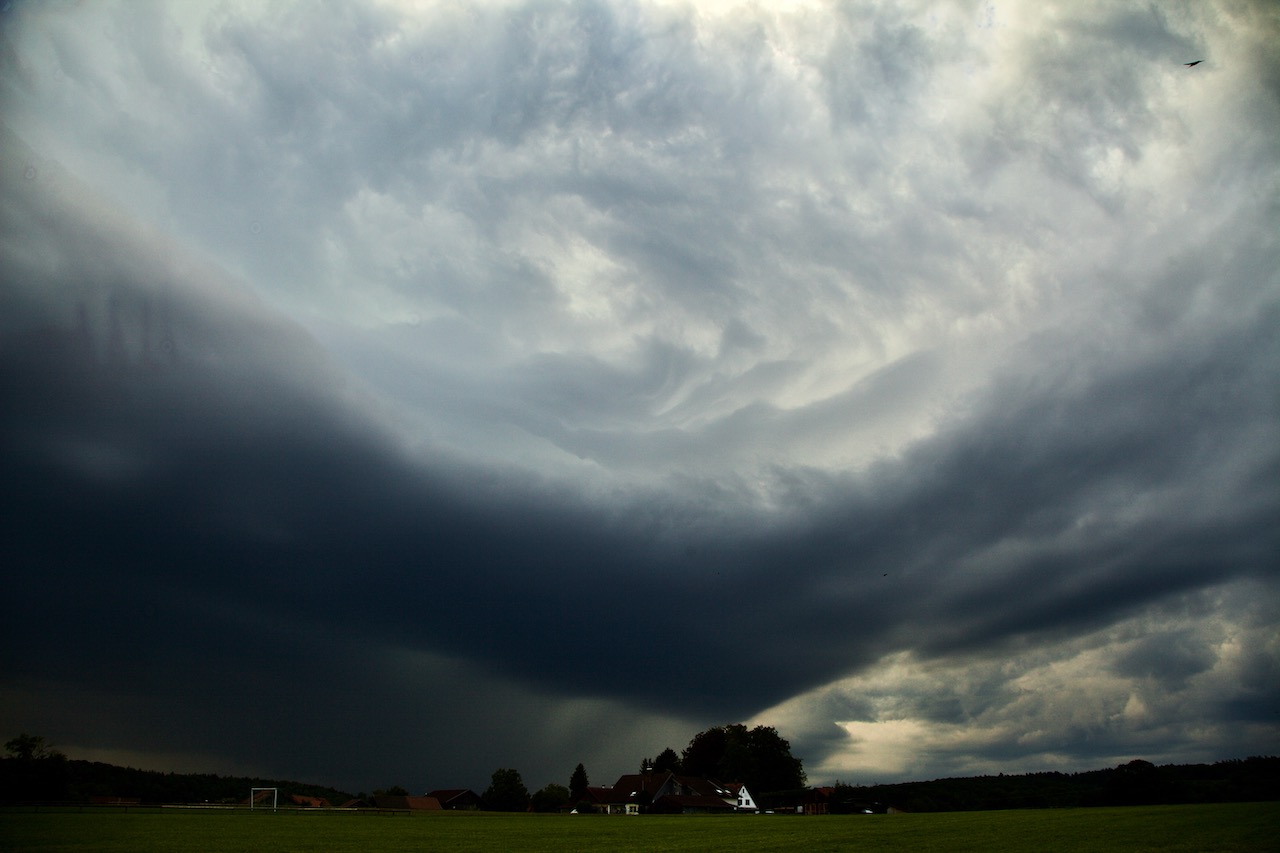
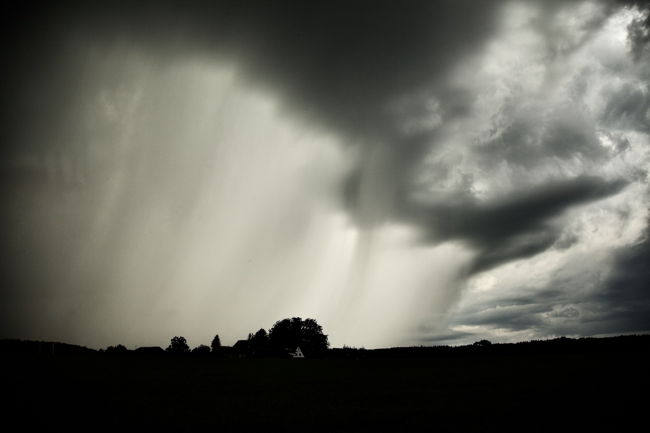
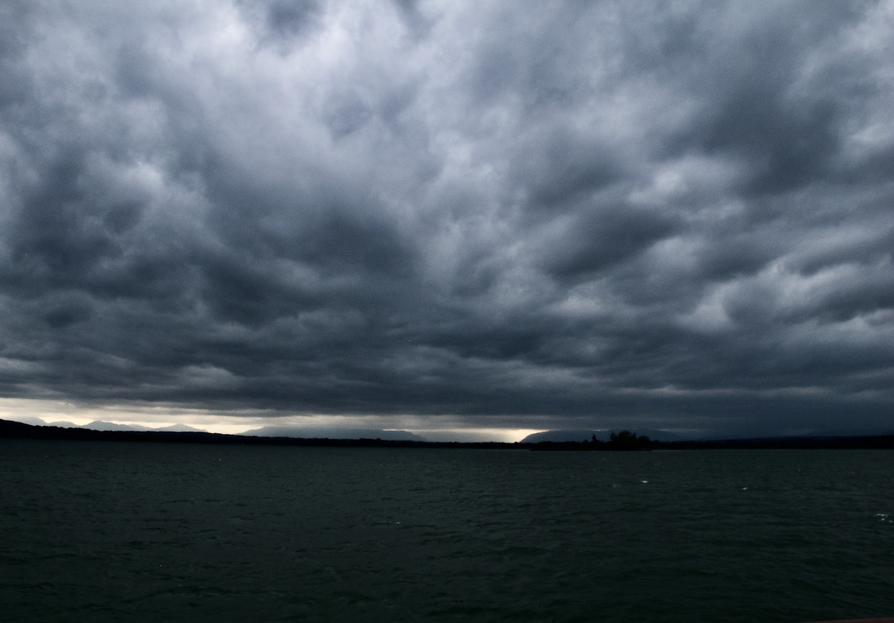
Wenn ihr auf der Suche nach dramatischen Bildern seid, sind die Jahreszeit und die Tageszeit wichtig: Diese Bilder wurden im Frühling während der Schneeschmelze und nach tagelangem Regen aufgenommen. Das macht einen großen Unterschied, denn dann stürzt viel mehr Wasser als zu anderen Zeiten über die Felsen hinab. In einem trockenen Sommer sieht das Bild ganz anders aus.
Hohe Berge und ein dichter Wald mit großen Bäumen umgeben die Wasserfälle. Der späte Vormittag ist – an sonnigen Tagen – ein guter Zeitpunkt zum Fotografieren, da dann genügend Sonnenlicht in die Schlucht fällt.
Verschiedene Schwierigkeitsgrade
Der Weg ist im unteren Teil sehr bequem. Nach einem schweren Unwetter mit massiven Schäden wurde er repariert und wieder eröffnet. Die Gemeinde Farchant hat sich sehr für diesen Wanderweg eingesetzt und für einige zusätzliche Attraktionen gesorgt. Dank dieser Bemühungen können Gäste die romantischen Wasserfälle nun das ganze Jahr über genießen.
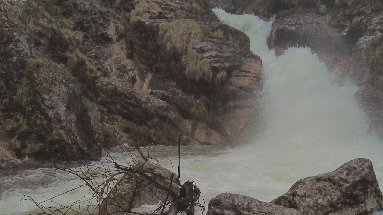
Nach etwa 750 Metern erreicht ihr eine Brücke über den Bach. Vor der Brücke zweigt ein kleinerer Weg ab, auf dem ihr ein paar Meter zu einem Aussichtspunkt hinaufwandern könnt, teilweise über Treppenstufen. Hier bietet sich ein beeindruckender Blick auf den Wasserfall.
Hinter der Brücke geht der breite Weg in einen steilen Bergpfad über. Dieser Weg, der höher hinauf führt, hat eine andere Qualität. Man sollte diese Wanderung nur machen, wenn man ein erfahrener Wanderer ist. Etwa 20 Minuten von der Brücke entfernt gibt es dann einen weiteren Aussichtspunkt, von dem aus man den oberen Teil der Schlucht sehen kann. Aber wie gesagt: Seid bitte vorsichtig!
Die Kuhfluchtfälle sind über die Bahnhaltestelle Farchant und mit dem Bus von Garmisch-Partenkirchen aus erreichbar.
Extra-Tipp: Ihr könnt auch auf dem äußerst bequemen „Philosophenweg“ zurück nach Garmisch-Partenkirchen wandern. An diesem leichten Weg stehen Bänke, in die Tafeln mit Zitaten berühmter Denker von Plato bis Schopenhauer eingelassen sind. Der Weg endet im Ortsteil Partenkirchen und ist ebenfalls sehr gut für einen Ausflug mit Kindern geeignet!
.
Der größte Wasserfall ist beeindruckend nach tagelangem Regen im Frühjahr oder nach der Schneeschmelze.
.In der Nähe der großen Kaskaden zu stehen, ist ein angenehmes Gefühl. Nicht nur das Erlebnis der majestätischen Natur hebt sofort die Stimmung; auch die kleinen Wasserpartikel in der Luft tragen dazu bei. Sie öffnen die Atemwege und haben eine beruhigende Wirkung. Der Effekt ist ähnlich wie an der Nordseeküste, wenn man am Strand steht und die Luft in der Nähe der Wellen einatmet.
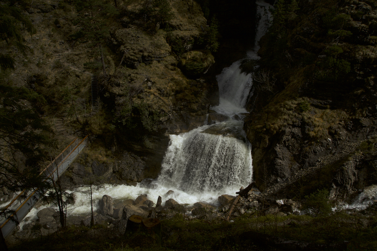
Oberhalb der Brücke befindet sich ein Aussichtspunkt, der eine atemberaubende Perspektive bietet.
Die Kuhfluchtfälle sind eine interessante Alternative oder Ergänzung zu den bekannten Ausflugszielen in der Region.
© Deutsche Übersetzung: Susanne Niemuth-Engelmann / Redaktionsbüro Niemuth, https://redaktionsbuero-niemuth.de/ / 27.01.25