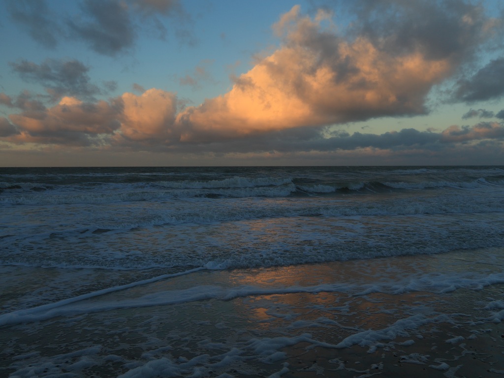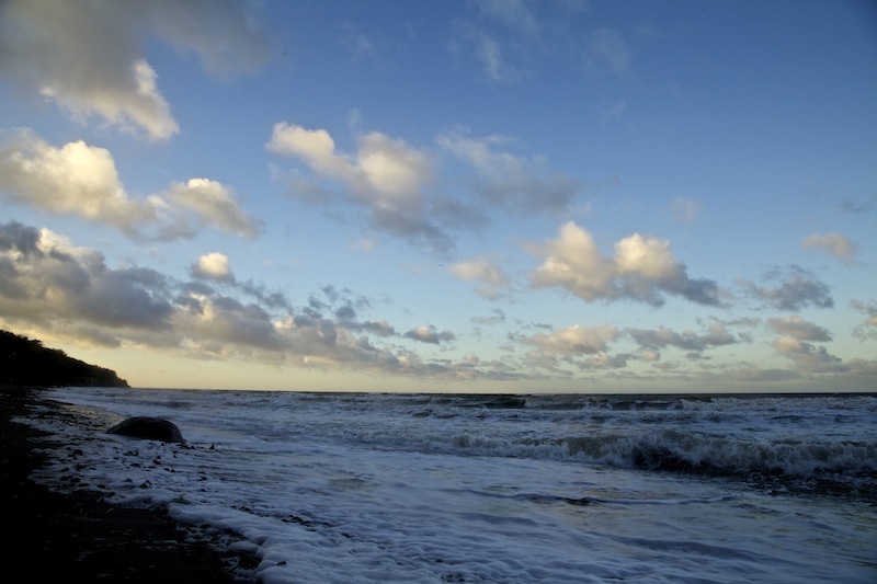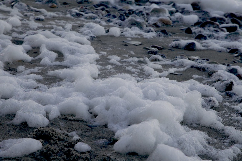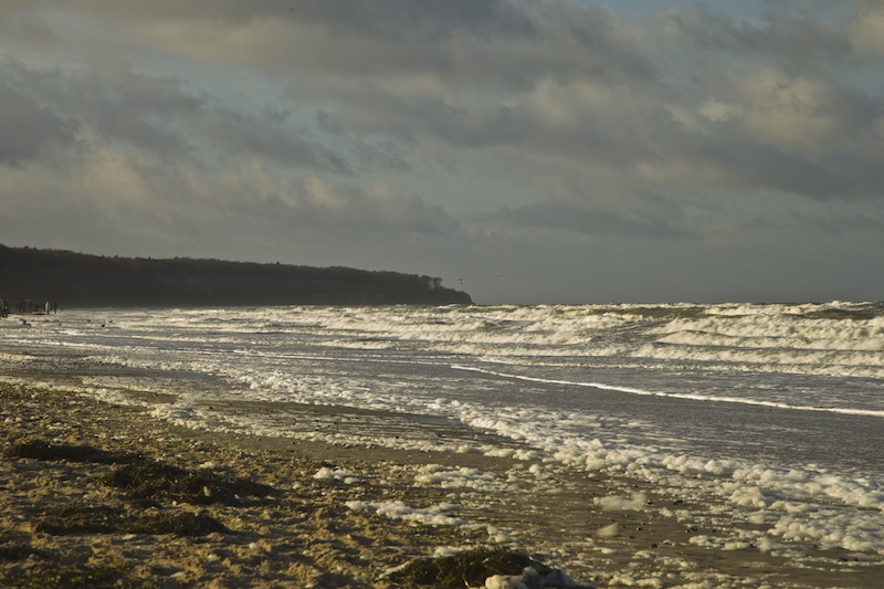
2014 ended with a few quiet and cold days but January 2015 began with a series of storms in Northern Germany and Middle-Europe. On Sunday, January 3 it wasn’t a real strong storm but a wind was still blowing constantly from North-West with gusts of Beaufort 8-9. It was dry and during the day the sky cleared up. Temperatures were slightly above zero first and rising later.

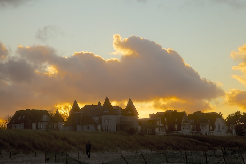
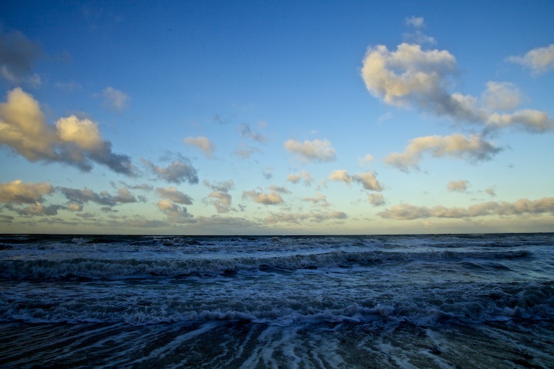
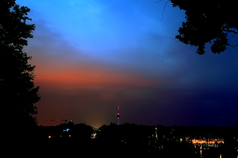
Even the days are very short it’s a good time for photography at the Baltic Sea. Colours can be very intense and sometimes unusual. In the late afternoon there was a beautiful strong blue colour in the sky, which was reflected by the water where it became more turquoise. Golden and yellow clouds could be seen during sunset. The sun still very low over the horizon during the whole day creates very interesting effects.


It was a good day for a walk along the broad beach of Warnemünde in Eastern-Germany. Warnemünde is near Rostock and a well known tourist spot with a big port where the ferries leave for Sweden and Denmark. A motorway ends directly at the ferry port. In the harbour of Rostock lots of big ships were built, it’s also an old trading spot (like Hamburg a “Hansestadt), and after the reunification the navy moved here. During summer big cruise ships visit Warnemünde, and the endless beach is crowded with people sunbathing, swimming and spending their holidays. Near the port a famous and big old lighthouse greets the ships. There are still living a lot of fishermen here, and in the heart of the village there are lovely restored little houses, which belonged originally to the fishermen. Today many sailors come in the summer and make a stop in the big marina.
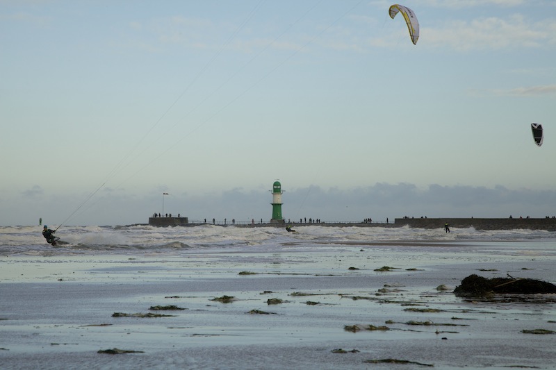
On that day fewer tourists were walking along the beach or between some modern hotels and historical buildings and the beach. This day the sea belonged to special kind of sportsman. Kite surfers used the strong wind and waves. They came along with incredible speed and performed awesome jumps. Water temperatures are four degrees Celsius during this time of the year, thus they were all wearing special suits. Sometimes very close encounters between surfers could be seen and its obvious that kite surfing requires a lot of skills and quick reactions.
In former years the Baltic Sea was freezing sometimes for months during winter and there had been a lot of snow. There were even weather extremes with trains stopped by snowstorms in North East Germany. A few years ago tourists had to be evacuated with helicopters from Hiddensee an island not so far from Warnemünde near Rügen.
This year shows a different trend in weather extremes and these extremes fit more into the predicted changes due to global warming. The first days in 2015 continued a trend of temperatures higher than usual. Sometimes in winter there is a big and long lasting high-pressure system over Russia or Scandinavia, and then it gets really cold in this part of Germany. Like 2014 it seems instead that low-pressure systems coming in from the west dominate weather in Northern Germany. This can also be a typical weather pattern in winter here but what’s unusual is the whole series of very strong and long lasting storms with lots of rain. In the nearer neighbourhood, in Schleswig Holstein there had been problems due to flooding before Christmas. It’s already a bit similar to the series of storms, which hit the UK last year however the situation is muss less dramatic so far.
If strong winds blow from North-West or North-East the Baltic Sea looks more like the Northern Sea even there are no similar storm-floods or giant wave like in the Northern Sea. However the sea certainly requires a lot of respect. When also in last summer storms hit the Baltic Sea a couple of tragic accidents happened in Northern Germany with tourist underestimating the strong currents. Furthermore the winds are constantly changing the shoreline and make these waters unpredictable at certain spots.
Nevertheless the Baltic Sea at Warnemünde is a beautiful sight at every time of the year. The strong winds make a good and a heavier tripod necessary for photography and videography since there are no places or buildings, which could provide some shelter or protection from the wind. It’s also good to think about the sand flying around with theses winds, which can land everywhere in the equipment. The pictures taken on that day were mostly done with ISO 100/f13-f18.

Warnemünde and the Baltic Sea coastline is easy accessible both by car and by train in a few hours from Berlin and Hamburg. West of Warnemünde is the famous “ghost-wood” in Nienhagen, which is often portrayed by photographers. In less than an hour a national park can be reached or villages like Ahrenshoop, which is very popular among artists. The impressive scenery was always a strong attraction for painters. Today many photographers visit the long shores every day.

Baltic Sea Storm and Kite Surfers from Peter Engelmann on Vimeo.
