Devastating Super-Cell Storms August 2023 Over Bavaria
August 2023 saw extreme weather events in Middle Europe. It wasn’t so many events, but a couple of significant storms. A number of super cells in Germany led to damage. There were some typical weather patterns in Upper Bavaria along the alps, where notorious hail-stripes are well-known, but the intensity of extreme weather was surprising.
One of the most significant extreme weather events happend on August 26 in the afternoon. Two supercells brought incredible amounts of hail in Southern Germany. A number of 123 places were affected, according to German Weather Service DVD. The separate weather systems rolling over Bavaria with a distance of 100 km. The two super-cells left a trail of destruction at a length of 130 km. The strip of hail had a width of 15 km. In that zone there was a lot of destruction in Benediktbeuern with a well-know monastery and Bad Bayersoyen. In some places hail had diameters more then 5cm, which turns them into bullets with high speed. Between the strips there was no such destruction but strong gusts of wind. The maps of the Europan Severe Weather Database deliver an impression of the two trails of destruction.
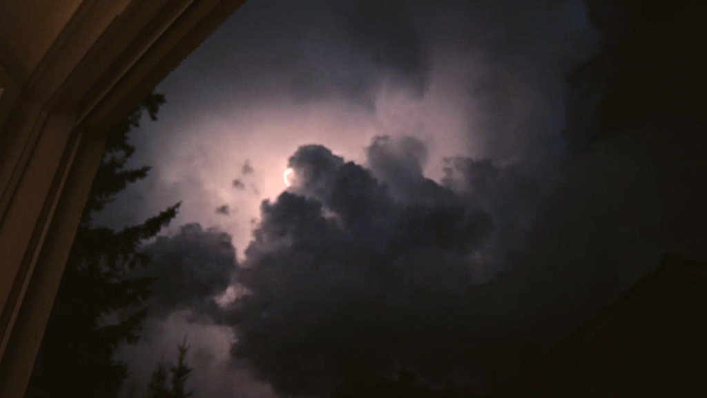
Heavy Thunderstorm on August 13 with intense lightning
Before these events, there were also heavy thunderstorms on August 13. These storms were coming from Baden-Wurttemburg. The video on the stormypictures.de Youtube Channel shows how the storm quickly intensifies. There was also a remarkable amount of lightning. The immense rate of lightning lit the sky and lasted unusually long.
There are no fundamental new weather patterns here, but what happened is what climate-researchers predicted a long time ago. A hotter and wetter atmosphere contains more energy. This energy is a precondition for stronger storms as these super-cells. And it is not only a warmer atmosphere. Early this year, researchers detected unusual warm surface temperatures in the oceans for example the atlantic ocean near Florida.
Here is the development of the thunderstorm in the early evening hours of August 13 in Upper Bavaria, close to lake Ammersee:
The late sun illuminates towering thunderstorm clouds
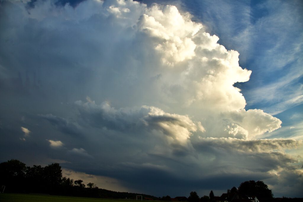
There was an incredible dynamic in the chaotic atmosphere
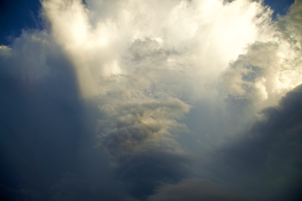
Within minutes the sky changes and dark clouds approached fast. In the upper half a rotating pattern appeared.
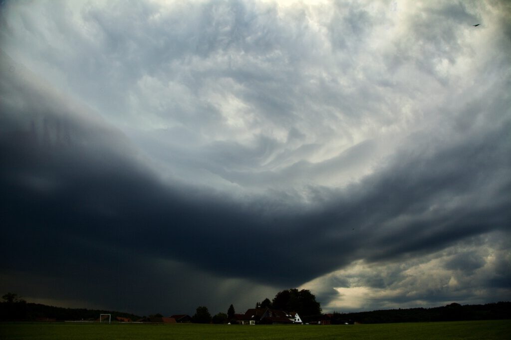
Lighting strikes came close very fast and a huge curtain with fall stripes appeared.
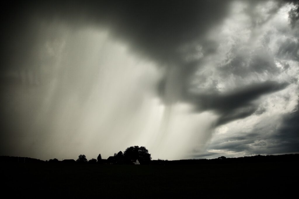
This storm brought intense rain and hail in some places. Later there was intense lightning.
The supercell storms on August 26 seen from a ship on a lake
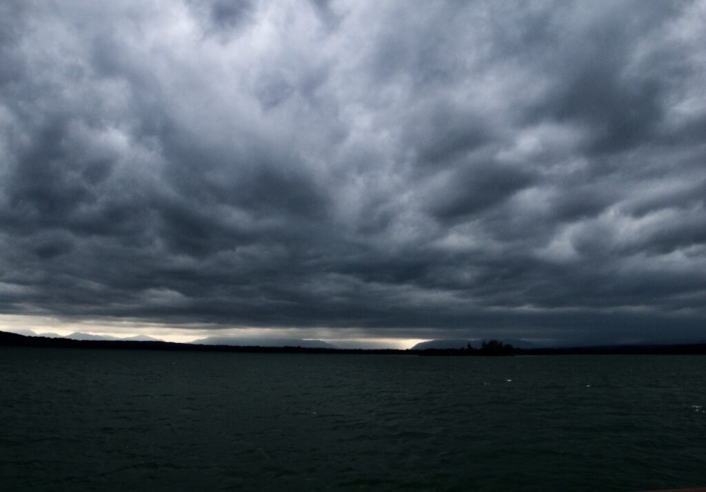
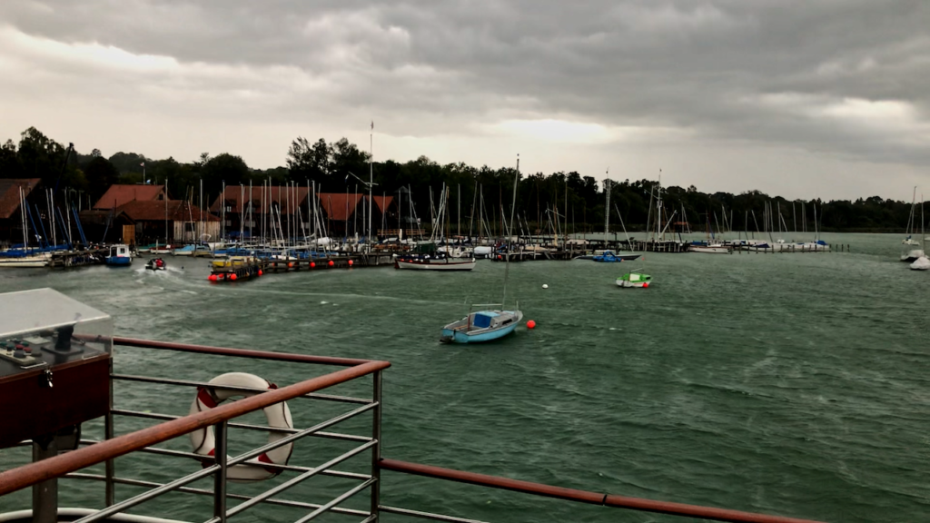
There had been further dramatic weather events after August 13. On August 17 a monster thunderstorm set parts of Nuremberg in Northern Bavaria under water after a flash flood. The series of severe weather peaked on August 26 with the two super cells in Southern Bavaria and also dangerous thunderstorms in between. The pictures below were taken on a ship on Lake Ammersee. Here it was very hot and the sky was clear til middle of the afternoon. Then, dark clouds were arriving very fast. The orange flashing lights on the storm warning lights were activated. It was important that sailors headed back to harbour in time because the line of thunderstorms arrived fast with strong winds and rainfall later.
An unusual sight
Weather is always unique. Compared to the previous thunderstorms, the sky “looked” more like it was typical rain clouds. However these was a severe weather system at any place. The wind picked up very fast and the normally peaceful lake turned into a raging water with remarkable waves. Strong rainfall let the shore disappear in a sort of mist minutes after the wind gusts appeared. Later the evening, the weather calmed down. However the damage in many regions was dramatic.
Dark clouds approaching from South-West
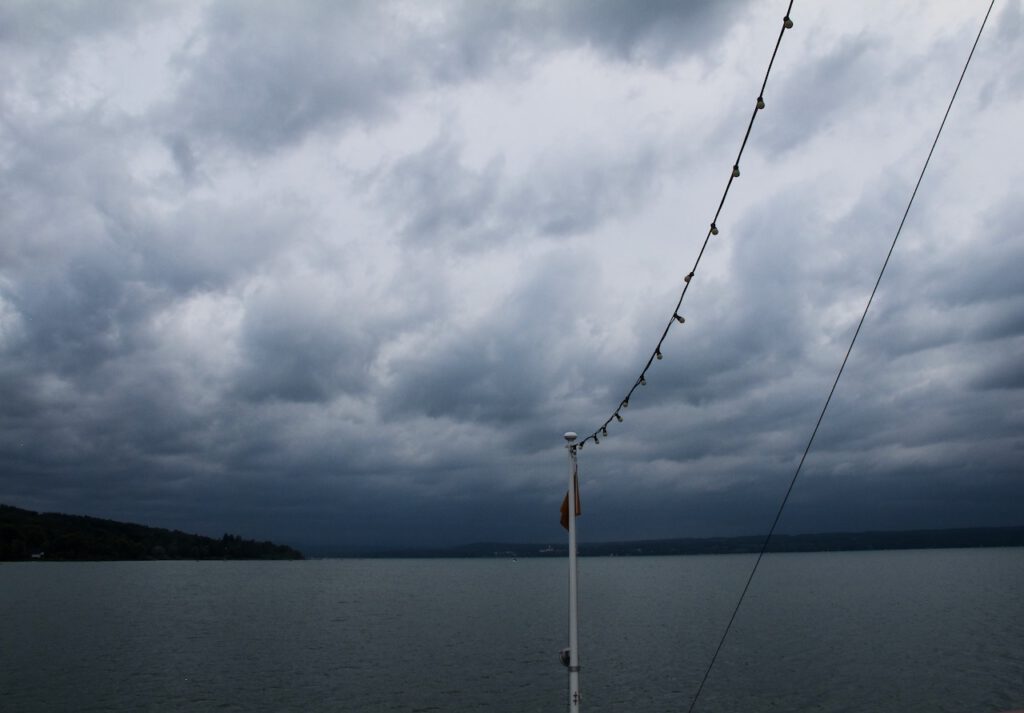
The clouds quickly become darker.
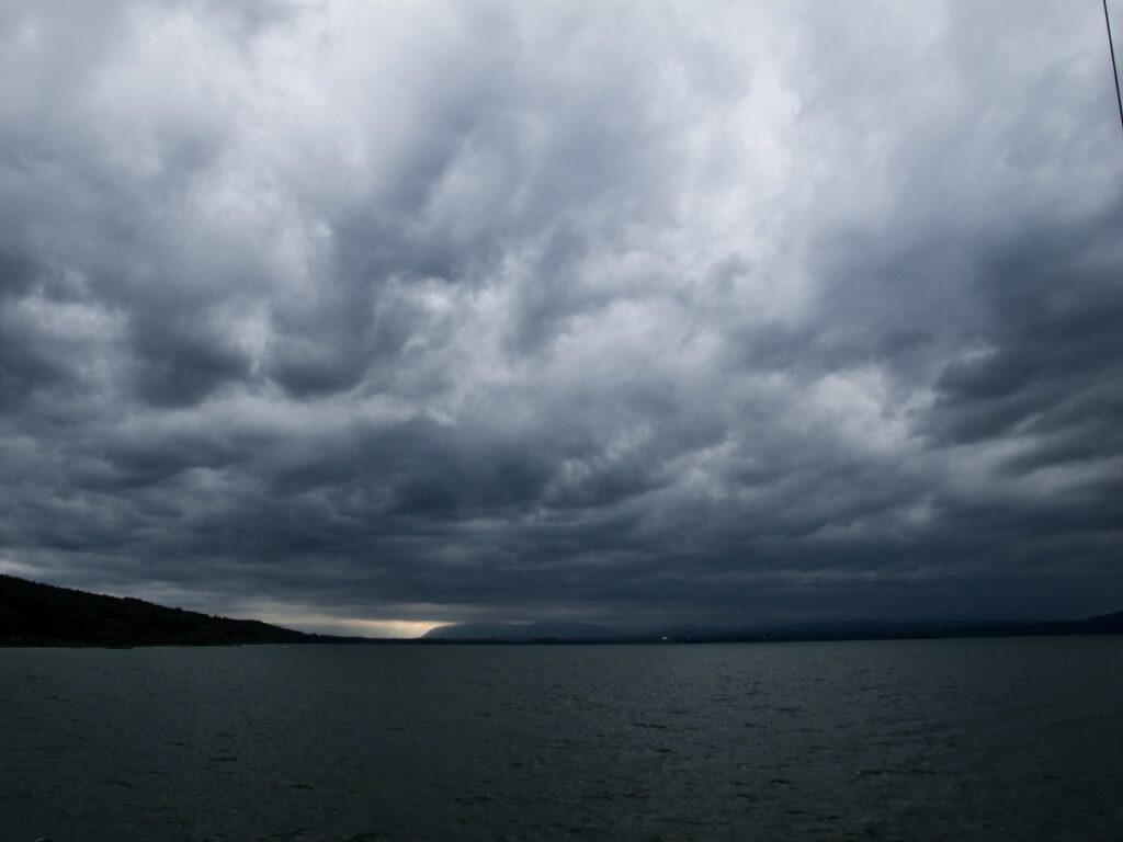
Still some sunshine in the Alps before the super cell system arrives
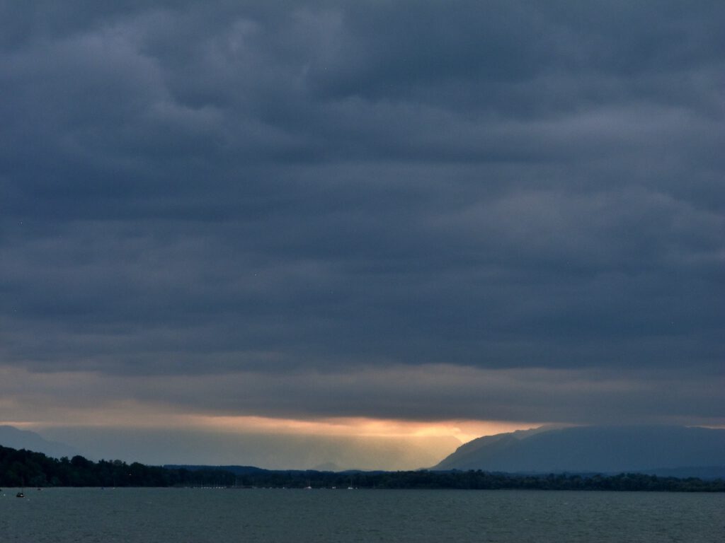
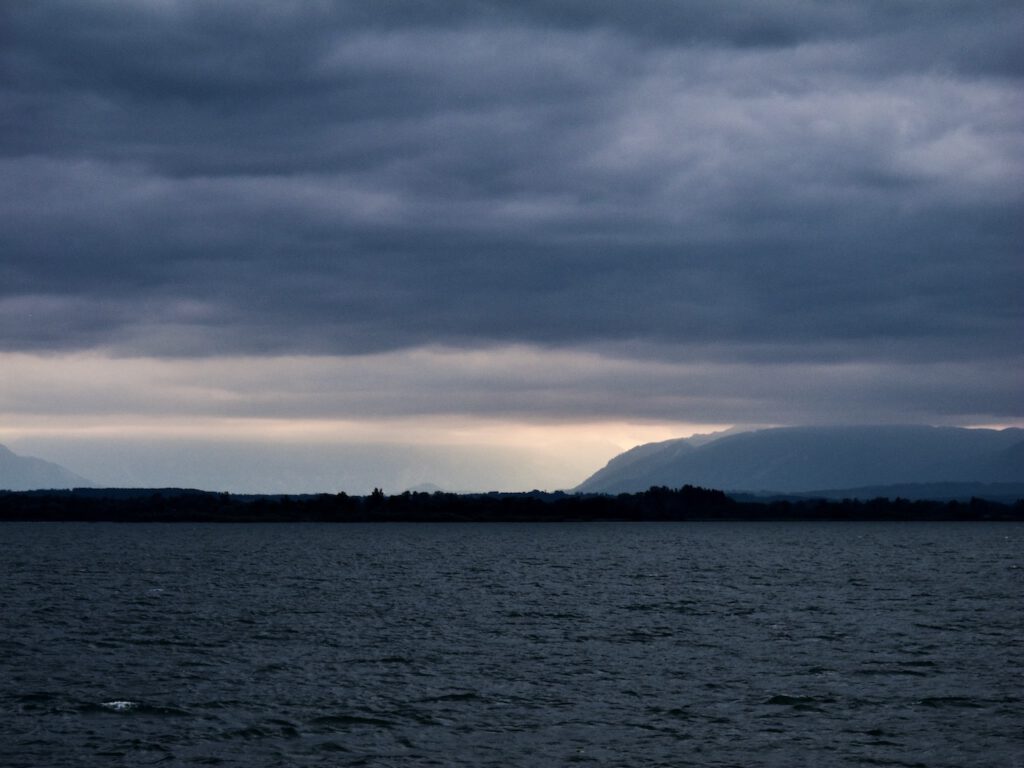
It’s getting pretty dark even during the afternoon.
Gusts of storm at the westside of Lake Ammersee in Bavaria. A motor boat makes it barely into the harbour.
What came after the storm
The super cell weather systems were the harbingers of more extreme weather in the alps. The days later there was heavy rain and a flood created more damage in Austria. On August 28 the famous Oetztal was cut off from the outer world after a mudslide destroyed the only road. Many tourists could only leave via the Timmelsjoch mountain pass. Helicopter’s brought food and other stuff into the valley.
Only days later a high pressure system brought calm and unusually warm weather in September. The super cell storms and the following devastating floods were dire reminders what living in a new climate triggered by climate change means. It means coping with a different world, less comfortable, more unpredictable and more violent. August 2023 was also one of the hottest summers on record.