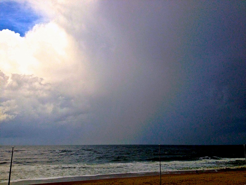
August 11-13, 2014: Endless Series Of Thunderstorms In Sylt And Along Danish Border After Ex-Hurricane Bertha Hit.
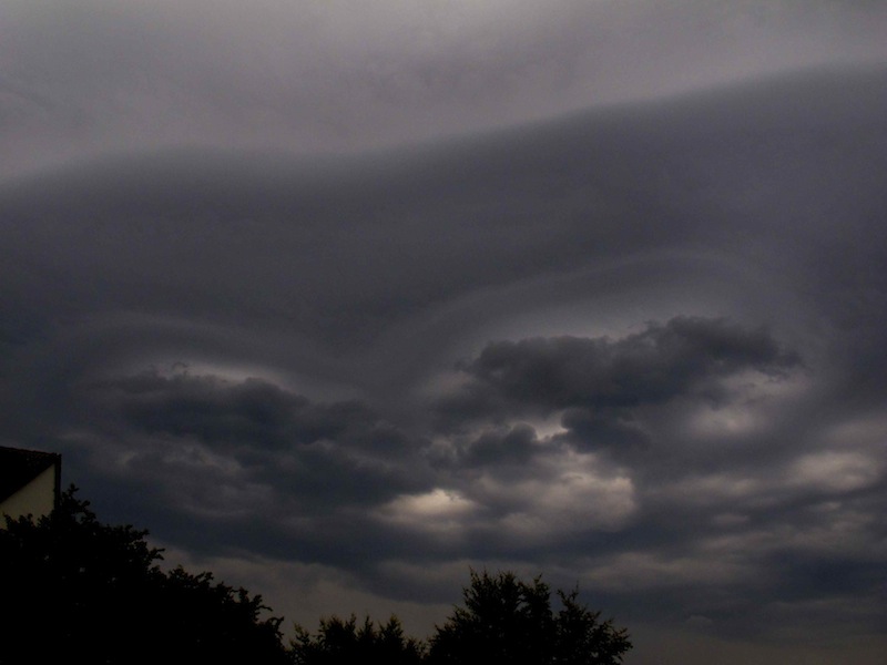
Strange cloud patterns in the sky heralded the arrival of “Bertha” on Saturday, August 10, in the afternoon:
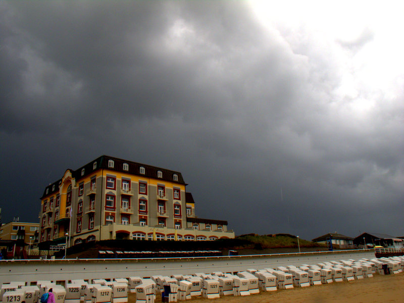
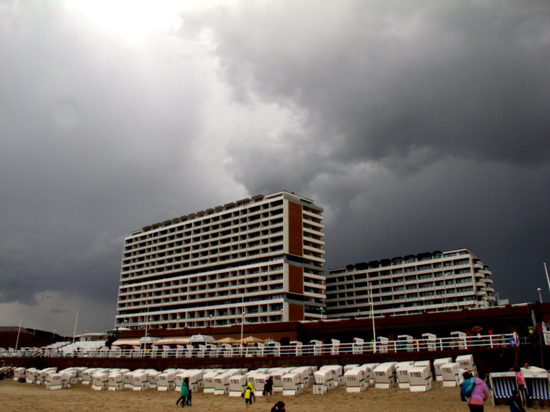
Ex-hurricane Bertha, a huge low pressure system, which did severe damage in the UK and Ireland, led also to extreme weather patterns in some areas in the Northern Sea region. There were already strong showers on Saturday. On Monday, August 11, strong winds hit the coastline. Huge waves could be seen in Westerland, the main city of the island of Sylt. The red flag was up, warning tourists to not go swimming in the rough Northern Sea. An older tourist spoke to me when I visited the island on Thursday, August 12, that he had seen never before anything like this in the summer during his 13 stays on the island.
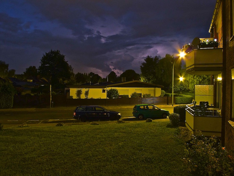
In the border region between Germany and Denmark there were further unexpected and unusual phenomena: around 9.00pm was sheet lightning to be seen from Flensburg on the Eastern side. The sheet lightning lasted very long before the storm approached the Baltic-Sea side of Schleswsig-Holstein in the night.
Through the night there was thunderstorm after thunderstorm. And that weather did not stop the following day. Like on a chain a series of thunderstorms passed over Northern Schleswig Holstein from the west to the east and appeared more like one big cluster.
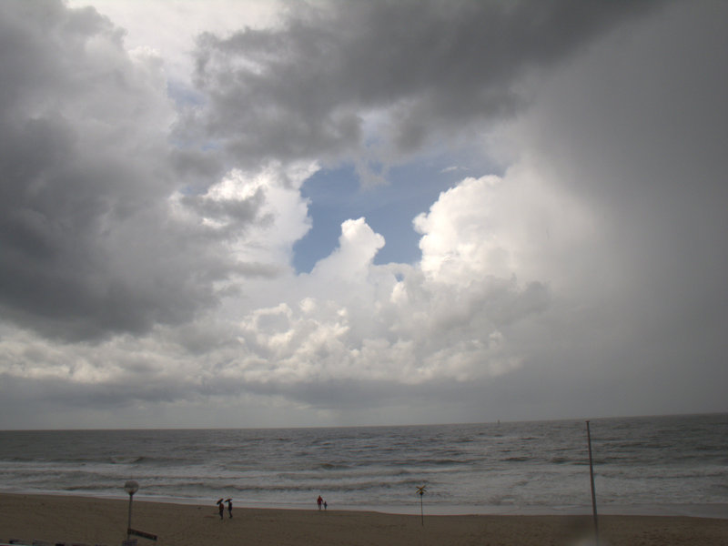
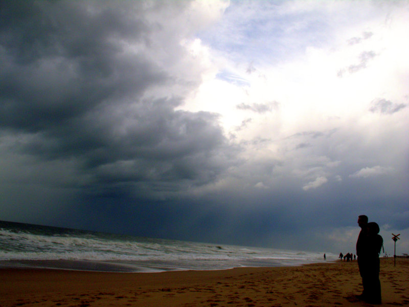
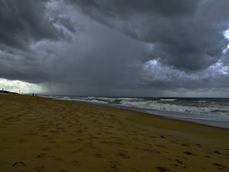
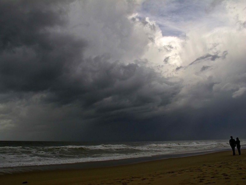
On the island of Sylt August 12 was a really strange day. I arrived shortly after midday and walked to the shoreline to shoot some pictures of this extraordinary weather.
The sky looked like as being in the middle of a tropical storm. On the land side there was a closed sheet of clouds and it was dark and it rained. On the island however blue sky could be seen between towering shower and thunderstorm clouds over the sea when looking westwards. Shower after shower came down, and thunder was rumbling all the time. It felt like being in a thunderstorm which never stops. It calmed a bit down in the late afternoon but in the evening of August 12 there were still showers and thunderstorms. This weather was similar like the tropical weeks in Berlin and Eastern Germany the weeks before.
Scientists say that these weather patterns in the summer are indeed far from normal, and that extreme weather becoming more common. The Guardian reported that scientists in Potsdam published a new study like their colleagues in the UK during England’s wettest winter in 250 years. The new study says, “that since 2000, there have been an exceptional number of summer weather extremes, causing massive damage to society”. There are still no perfect explanations but the scientists observe more and more so-called “blocking patterns” with hot or wet weather zones remaining stuck over regions for weeks, the Guardian writes. Jet streams are behaving differently as before. The blocking patterns occur when meanders of the high-level jet stream slow down and this happens more frequently.
It’s too early to make predictions about the future and there might be still a factor involved that increased interest in weather phenomena lead also to more observations of extreme patterns but scientists agree that there are more extremes.
This observation is backed up insurances, police and fire brigades. Brandenburg fire brigades around Berlin had much more work over the last weeks due to an increased number of torrential rain, severe thunderstorms and storms. Insurances estimate cost of damage including autumn/winter storms over 260 Mio Euros. Recently, there is a huge and cost intensive damage in forests where lot of trees were felt by storms Landslides are also an increasing risk. A few days ago a landslide stopped traffic for hours on the A9 motorway between Berlin and Leipzig, which is very unusual in the mostly flat area. The recent scientific studies therefore explain what was speculation and sometimes more a feeling than a precise observation: For more than a decade now our weather is significantly different as in the past, unusual phenomena are more often and patterns are becoming more extreme.
