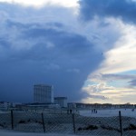
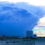
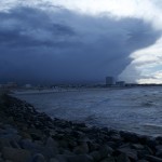
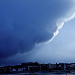
HEAT AND THUNDER: Berlin July and August 2013

July and August 2013 lead to new weather extremes in Germany and Europe after a monster-flood in June caused tremendous costs and will be remembered as setting new records. The first half of July saw a mix between some colder days, warm weather  and cloudy skies sometimes in Northeast Germany but that changed later dramatically. Hot air from the Sahara not only created a dusty sky but an extraordinary heat wave. Particularly in Berlin people enjoyed the hot temperatures first, as could be seen at the Schlachtensee where locals partied along with young tourists from around the world. However things got a different turn when humidity was rising after July 28. Both days, July 27 and July 28, were extremely hot in the capital but in the evening of July 28 the weather change began with gusts of wind and dark clouds in the evening. However unlike other parts of the country there were no big storms. For a few days it was colder but not for too long:
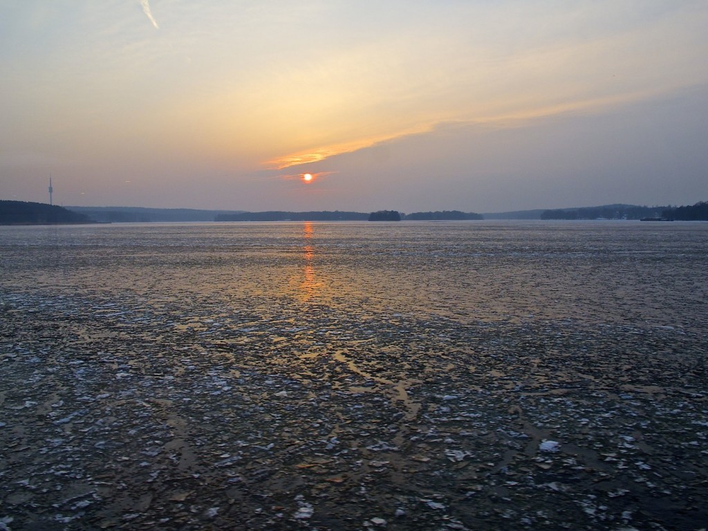
The heat came back and between August 3 and August 8 this time heavy thunderstorms created a lot of damage in many parts of Germany. In Berlin cellars were flooded and the thunderstorms caused long delays in railway traffic after trees fell upon the tracks between Berlin and Hamburg. In the evening of August 8 the weather calmed and an impressing sunset with red clouds could be seen.

Aktivieren Sie JavaScript um das Video zu sehen.
http://youtu.be/0LLU1z8J_2E

Thunderstorm At A Lake In Berlin, July I, 2013 / Gewitter am Schlachtensee

At the end of June 2013 it was pretty much cold in Middle-Europe but during July 1 warm and humid air lead to thunderstorms in the evening.Thunderstorms in the Berlin area weren’t as strong as in the middle of June (see previous post) but the famous “bread and butter party” on the Tempelhofer Feld had to be interrupted. Since it’s still very bright after 8.00pm the clouds and the evening sky created an interesting atmophere. Pictures and video were taken at Lake Schlachtensee in the South-West of Berlin. The thunderstorm didn’t hit the lake directly but lightning and thunder came close for some time.

A thunderstorm might not move as fast as in the first scene of the video which is a timelapse. However what you never should do is swimming in a lake when a thunderstorm comes closer. The water could carry the current of a lightning and kill people.

Particularly if a lake is situated in a valley like lake Schlachtensee and is surrounded by trees you should be careful. The storm might be closer as it appears at first sight.

The two videos below represent two versions of the same material using different filters and a variation of the use of time-lapse.

Aktivieren Sie JavaScript um das Video zu sehen.
http://youtu.be/TY6fxJTPyyk
Aktivieren Sie JavaScript um das Video zu sehen.
http://youtu.be/b7sAIJ1SI28

Heavy Thunderstorm seen from a train, June 20, 2013

The days between June 17 til June 20 became exceptional warm in Germany and generated new temperature records. On Thursday, June 20, heavy thunderstorms occurred throughout Germany when colder air collided with the heat. The storms did some damage in Berlin and other areas and the day later railways connections were interrupted. In Berlin a “S-Bahn”-waggon jumped the rails when the train hit a fallen tree.

Some hours before the thunderstorms had already reached Hanover in Lower Saxony. Impressing clouds could be seen from a speed-train arriving Hanover main station.

The conductor wasn’t impressed by the dramatic imaginery outside the windows.

Aktivieren Sie JavaScript um das Video zu sehen.
http://youtu.be/iZPc54AEaaQ


Thunderstorm From The East, May 28, 2013

In many regions in Germany the usually warm and sunny month brought a lot of rain and temperatures were too low compared to previous years. An interesting weather situation occurred on Tuesday, May 28 in Berlin and Brandenburg in the late afternoon.  Temperatures were moderate and the sky was cloudy in the morning. Not the usual scenario for a heavy thunderstorm. However unlike most of the time when rain arrives from the west this day rainy clouds and humiditiy came from North-East. Showers in the late afternoon around 5.00 pm were an overture for more interesting weather. Later, in Golm, west of Brandenburg’s capital Potsdam, there was sunshine for some minutes. It was interesting that temperatures rised a bit after the first showers. Later around 6.00 pm on the way back to Berlin it became again very dark in the east and that weather system which came from the East progressed forwards to the West. Thunder could be heard, wind gusts shaked the trees and rain fell for some minutes. Later in the evening the sky cleared and a wonderful rainbow appeared. The rainbow was for some minutes very strong.


In manchen Regionen war der gewöhnlich warme und sonnige Mai zu kalt für die Jahreszeit und brachte viel Regen.

Eine interessante Wettersituation entstand am Dienstag, den 28. May in Berlin und Brandenburg am späten Nachmittag. Die Temperaturen an diesem Tag waren moderat und der Himmel war bedeckt am Vormittag. Kein übliches Szenario also für ein schweres Gewitter. Jedoch, anders als sonst oft, kamen die Regenwolken und die Feuchtigkeit aus dem Nordosten.  Schauer um 5.00 Nachmittags waren die Overtüre für noch mehr interessantes Wetter.  In Golm, westlich von Brandenburgs Hauptstadt Potsdam, gab es nach den Schauern noch einmal für einige Minuten Sonnenschein.  Es war interessant, dass die Temperaturen nach den ersten Schauern erst einmal anstiegen. Später, um 18.00 zurück auf dem Weg nach Berlin wurde es wieder sehr dunkel  im Osten. Dieses Wettersystem zog dann über die Stadt Richtung Westen. Donner war zu hören, Windböen kamen auf und es regnete stark für einige Minuten.  Später am Abend klarte der Himmel auf und ein intensiver, langanhaltender Regenbogen war zu sehen.