SAHARAN DUST IN EUROPE, MARCH 2022
From Peter Engelmann, March 19, 2022
Saharan Dust in Europe appeared in the second week of March 2022. This is not an unusual weather pattern in spring. This year, however, there was a very high concentration of Saharan Dust in the atmosphere. It was even labelled a “dust bomb”. It led to an unparalleled otherworldly if not apocalyptic scenery in many places around Europe. The phenomenon was accompanied by rain in some places. This rain is called blood rain, due to the reddish colour. The blood rain was a bad omen in former times. The blood rain was a harbinger of the Black Death in Middle Ages or war and other apocalyptic events. The term blood rain is associated also with other phenomenas in nature due to bacteria or other where rain is red coloured.
The Saharan Dust in March was not only impressing because of the yellow-orange tinted skies but because of the vast dimension. The dust came from Marokko, entered Spain, reached Germany and was seen in UK too.
A map provided by French Meteorologist Guillaume Suchet shows the fast range of the saharan dust plume which reached even Norway and Sweden:
🛰️ Magnifique image satellite de l’Europe 🇪🇺 hier après-midi avec ce serpent nuageux quasiment “figé” ou “cristallisé” par la poussière désertique remontant du #Sahara, et la #neige qui recouvre encore la Finlande🇫🇮, la Russie 🇷🇺 et l’Estonie 🇪🇪 (en haut à droite) pic.twitter.com/lTeq9NDPFg
— Guillaume Séchet (@Meteovilles) March 18, 2022
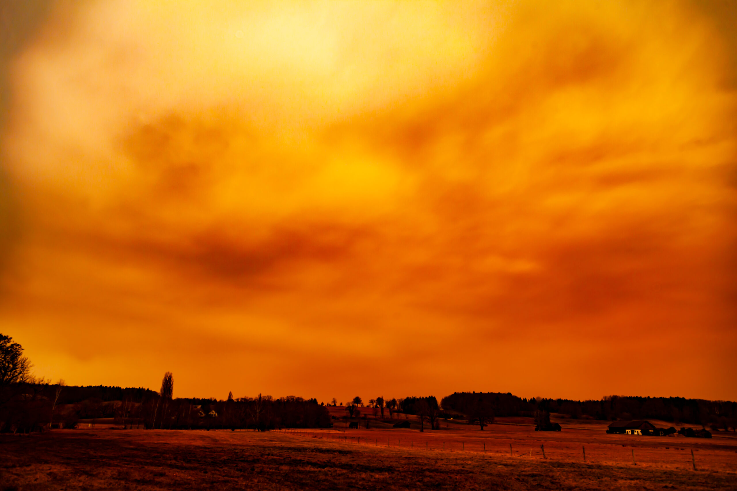
Saharian Dust Over The Alps
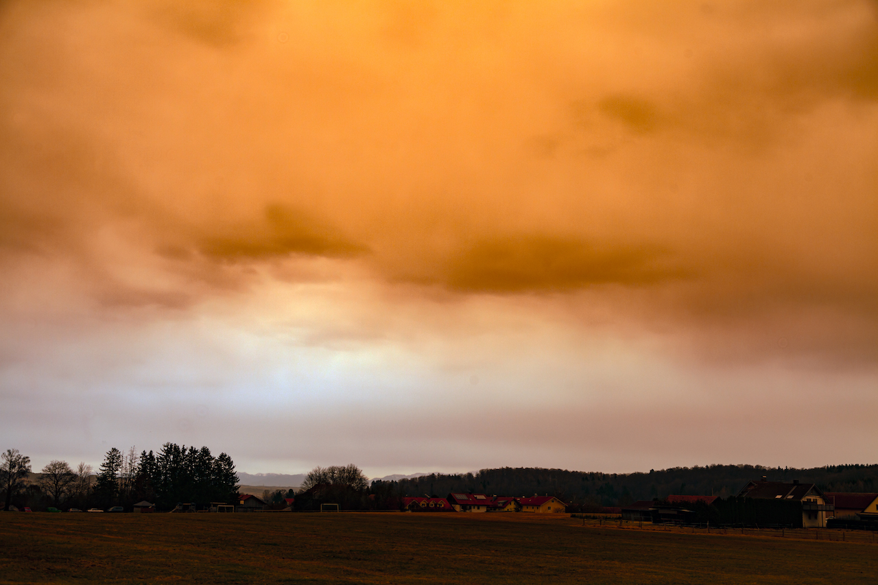
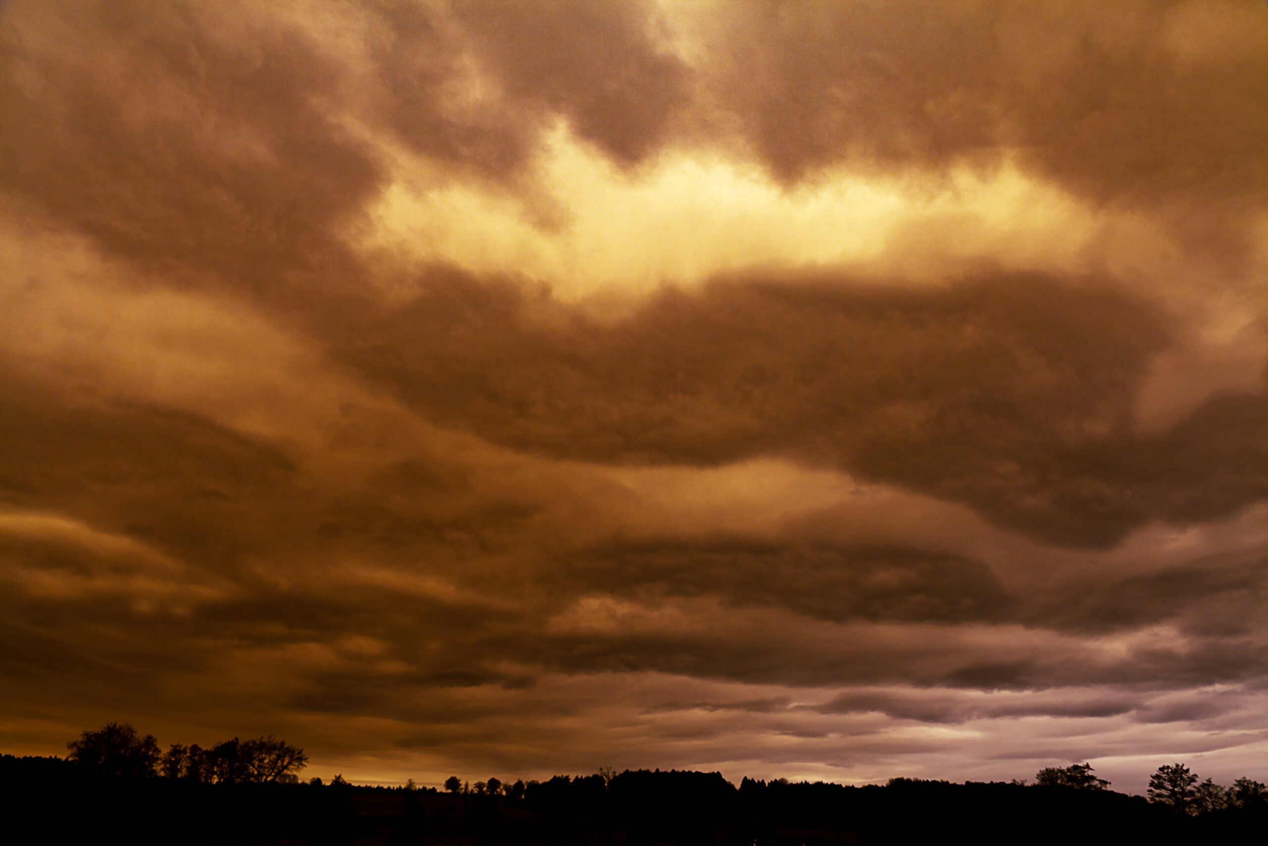
This is not very often. In Bavaria the phenomenon was extraordinarily intense in the afternoon of March 15. It created “Martian Skies” for hours. Around noon the sky was cloudy but colors were still normal. It was a milky grey sky. Later the day, in the early afternoon hours, the sky became intensely orange and red. The webcams on certain mountains showed that the orange sky was nearly everywhere. The sight remained good. There was no mist. But the clouds became thicker and thicker. Between 3.00pm and 5.00.pm it became really dark. It was necessary to turn on the lights inside. Such a darkness had never occurred before. It contributed much to the “apocalyptic mood” of the day. Later the sky returned slowly to “normal mood” again. There was some rain. Cars, roofs, everything was covered by a thick layer of reddish dust.
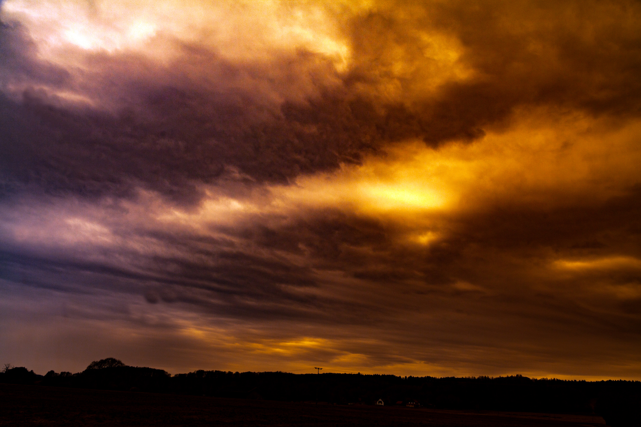
The pictures reveal even more unusual things which happened during this weather pattern. Colors weren’t changed here. The sky had indeed these reddish colors. Dust removal effect in photoshop however shows some unusual patterns inside this clouds. There is a detailed structure in the clouds which wasn’t so clear to the pure eye. There is nothing added or manipulated here. It seems like an unusual coincidence between saharan dust and a certain cloud weather pattern.
Rayleigh scattering phenomenon
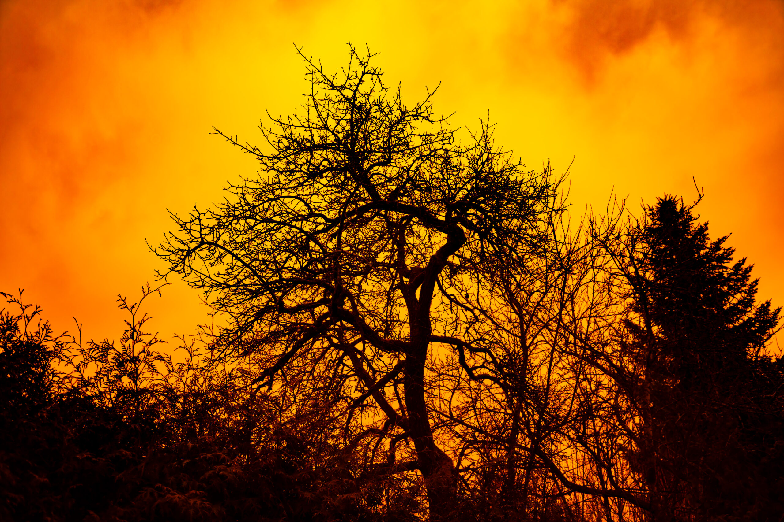
There is another interesting phenomenon here. The saharan dust creates the so-called Rayleigh scattering phenomenon. Met Office meteorologist Dan Stroud explained the phenomenon: “The dust in the atmosphere causes the light to be more refracted, so you get the dominance of the red and orange tinges of the spectrum”. Rayleigh scattering is “the dispersion of electromagnetic radiation by particles that have a radius less than approximately 1/10 the wavelength of the radiation” The dust in the air originated from the storm Celia and swept as a plume over Europe.
Rayleigh scattering during saharan dust in the sky is very interesting from a photographic standpoint. It creates different lighting conditions as on a normal sunny or cloudy idea. It is more like a studio light, a diffuse light not so much a directed light. You see no shadows. In film and photography this soft light coming from different directions is often a desired effect. It’s also a effect used in the artificial sky atmosphere of the Unreal Engine software where the Rayleigh scattering can be “regulated”.
The Rayleigh scattering effect might be a reason why some people are having an uneasy feeling during such weather events. It has an apocalyptic feel because in natural conditions. It feels somehow “wrong”.
Rayleigh scattering is also present on normal weather conditions and is responsible for the blue sky on a normal day. However the effect is much different as during a saharan dust event. During the appearance of the saharan dust cloud there are many additional particles in the atmosphere.
The air was not either cold nor war. Of course, the quality of the air was bad and that bad quality lasted long. After the saharan dust an unusual high pressure system begun to form over Northern Europe. That’s bad news since the continent urgently need more rain.

The lower part of the atmosphere was very clear all the time. Camera looks to the south west towards the Allgäuer Alpen in Southern Bavaria