Das Himmelmoor in Norddeutschland – eine geheimnisvolle Landschaft
von Peter Engelmann, 5 Juli 2022
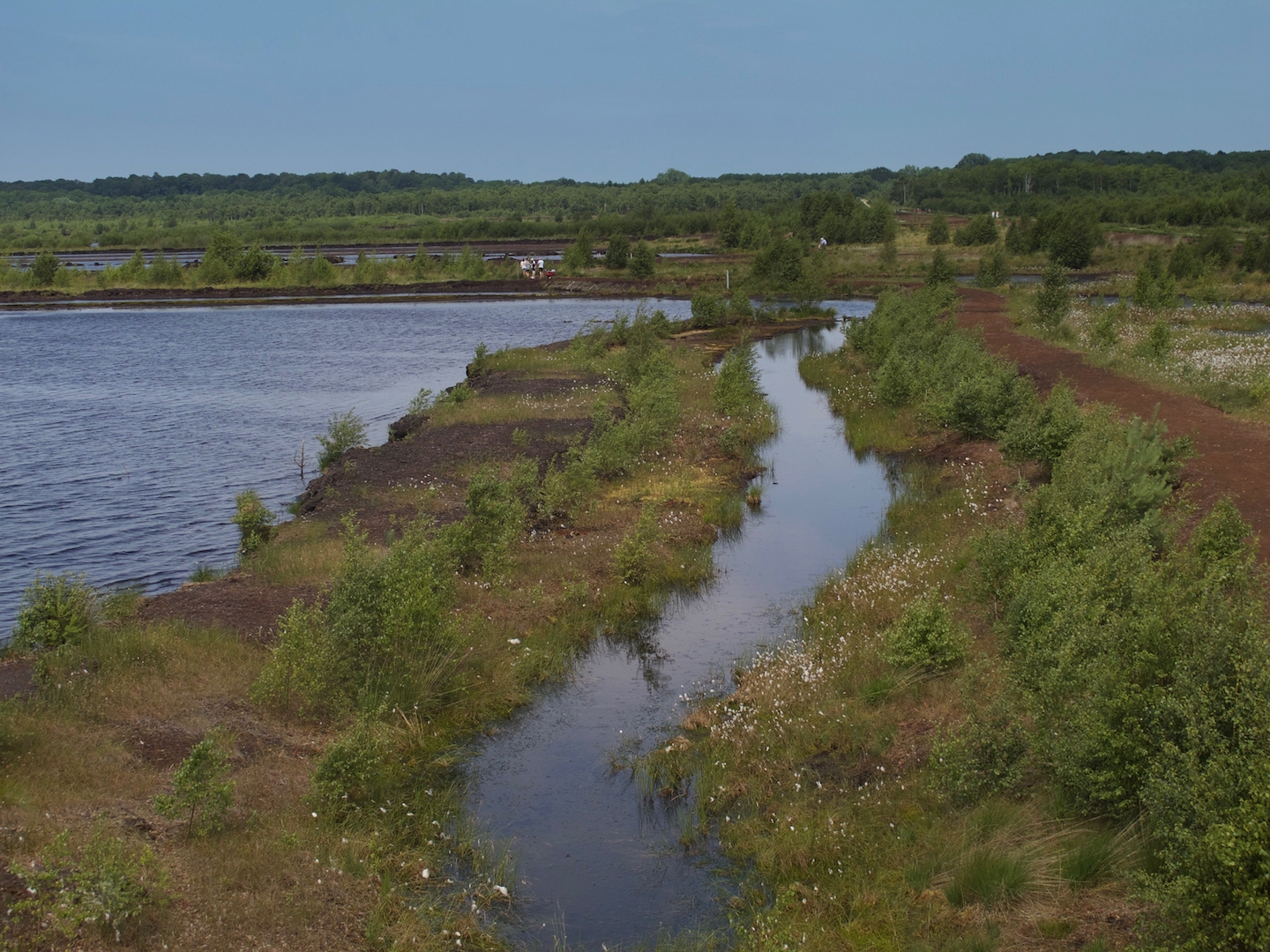
Das Himmelmoor bei Quickborn im Kreis Pinneberg (Metropolregion Hamburg) war einst das größte Hochmoor Schleswig-Holsteins und umfasste ursprünglich 600 Hektar Moorfläche. Heute ist das Naturschutzgebiet eine teils naturbelassene, teils rekultivierte Landschaft. Wie viele Hochmoore, wurde es lange ausgebeutet und überlebte nur knapp den Torfabbau. Von diesem ehemaligen Torfabbau sind noch viele Spuren erhalten. Heute wird das Himmelmoor häufig von Wanderern und Ausflüglern besucht.

Beobachtungsort für Naturliebhaber und Fotografen
Das Himmelmoor ist ein interessanter Raum für Naturliebhaber und ein Refugium für viele geschützte Pflanzen- und Tierarten, vor allem für eine große Vielfalt an Vögeln. Es gibt hier verschiedene Moortypen. All dies macht das Himmelmoor zu einem einzigartigen Motiv für Foto- und Videografen – hier gibt es einfach jede Menge faszinierender Dinge zu beobachten.
Sale 20% Or More Sitewide + Extra 10%Das Gebiet ist über einen vier Kilometer langen Wanderweg (oder über einen 12 Kilometer langen Weg, der die Umgebung einschließt) erreichbar. Bitte bleiben Sie immer auf dem Weg und richten Sie keinen Schaden an. Jedes interessante Motiv ist vom Weg aus zugänglich. Es gibt auch ein paar kleine Hügel als Aussichtspunkte. Teilweise ist der Weg mit Holzbohlen gesichert. Da der Untergrund zu manchen Jahreszeiten sehr feucht sein kann, macht ein solcher „Holzbohlenweg“ den Rundgang für Wanderer angenehmer.
Geschichte erleben mit der Torfbahn
Wenn Sie den Trail im Uhrzeigersinn begehen, können Sie gleich zu Beginn der Tour einige interessante Gebäude und Überreste aus der Zeit des Torfabbaus sehen. Zu den eindrucksvollsten Motiven gehören die alten Bahngleise, über die der Torf abtransportiert wurde. Sie sehen auch die kleinen Transportwagen, „Loren“ genannt. Gelegentlich sind diese Loren sogar als Sonderbahn für Besucher im Einsatz. „Die Torfbahn“ hat begrenzte Sitzplätze; Termine der Fahrten finden Sie hier. Auch auf einer eigenen Facebook-Seite gibt es dazu regelmäßige Updates. Während der Fahrten informiert ein Guide über das Himmelmoor und seine Geschichte, die wie viele Orte des Torfabbaus auch dunkle Aspekte hat. Häftlinge mussten diese schwere Arbeit oft unter unmenschlichen Bedingungen verrichten.
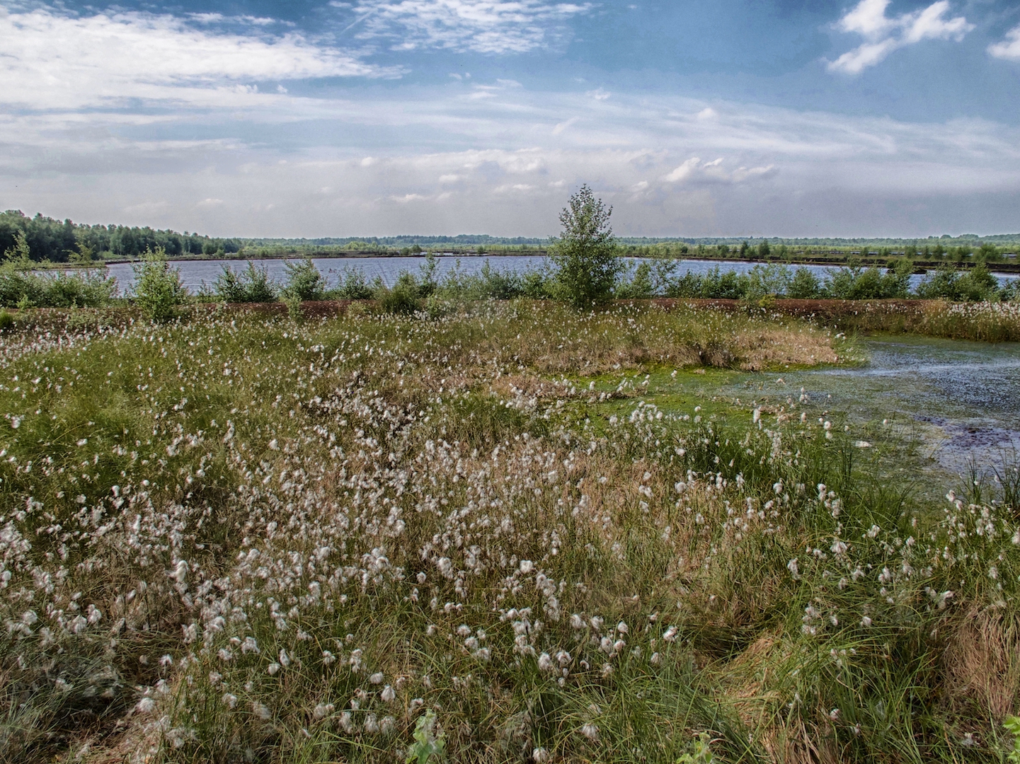
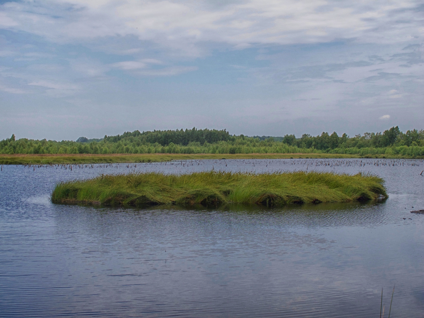
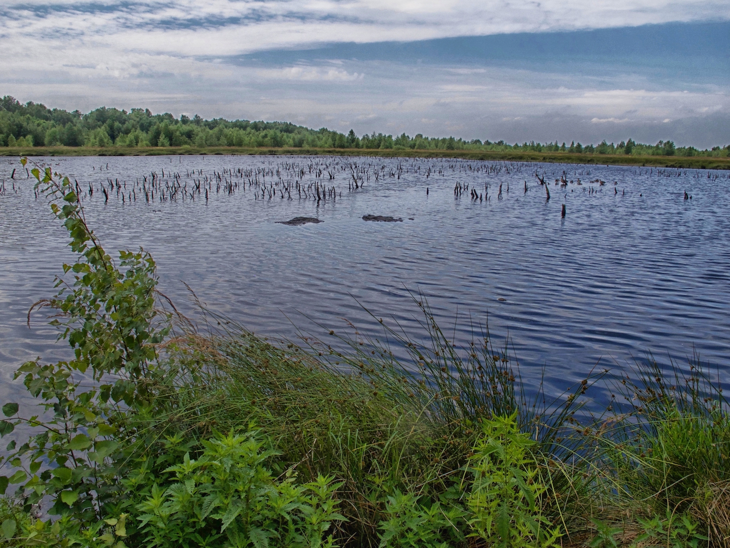
Neben einigen natürlichen Seen sind auch die Überreste aus der Torfgewinnung, auf die man immer wieder trifft, sehenswert. Es dauert lange, ein so sensibles Naturschutzgebiet zu rekultivieren. Ehrenamtliche Helfer investieren viel Zeit, um die Natur intakt zu halten und zugleich die historischen Überreste des Torfabbaus zu restaurieren. So ergeben sich unterwegs viele unterschiedliche Eindrücke. Im Sommer bieten das Wollgras und das Blau der Seen einen tollen Anblick.
Es ist sinnvoll, einige Stunden für einen Besuch des Himmelmoors einzuplanen. Entlang des Weges gibt es immer wieder interessante neue Blickwinkel und Aussichtspunkte. An heißen Tagen kann der Weg etwas anstrengend sein, doch man wird für den Aufstieg auf die kleinen Hügel mit schönen Panoramablicken belohnt.

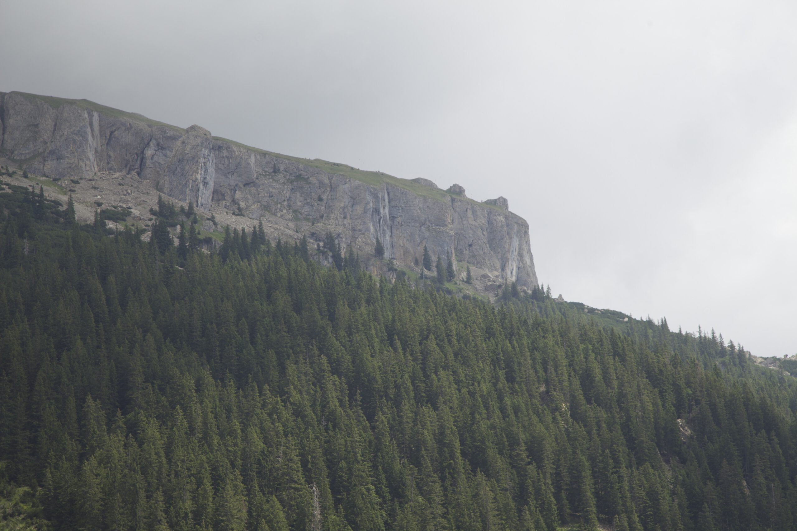
Stimmungsvolles Wolkenspiel …
Da wir uns hoch oben im Norden Deutschlands in Schleswig-Holstein befinden, wo das Land größtenteils flach ist, gibt es die charakteristischen „endlosen“ Horizonte. Sie tragen zum einzigartigen Eindruck des Himmelmoors bei. Das Meer ist nicht weit entfernt und an den meisten Tagen im Jahr weht Wind. Das Wetter ändert sich normalerweise oft, was spektakuläre Momente mit ziehenden Wolken und einem schnellen Wechsel der Stimmungen ermöglicht. Wie in jedem Moor herrscht hier eine besondere Atmosphäre. Moorlandschaften sind oft ein bisschen unheimlich und erscheinen manchmal sogar wie aus einer anderen Welt. Vielleicht haben Sie gerade deshalb Lust, an einem nebligen Herbsttag hierherzukommen …
An diesem Tag gab es jedoch keine Gespenster oder andere mysteriöse Erscheinungen.
… und interessante Vegetation
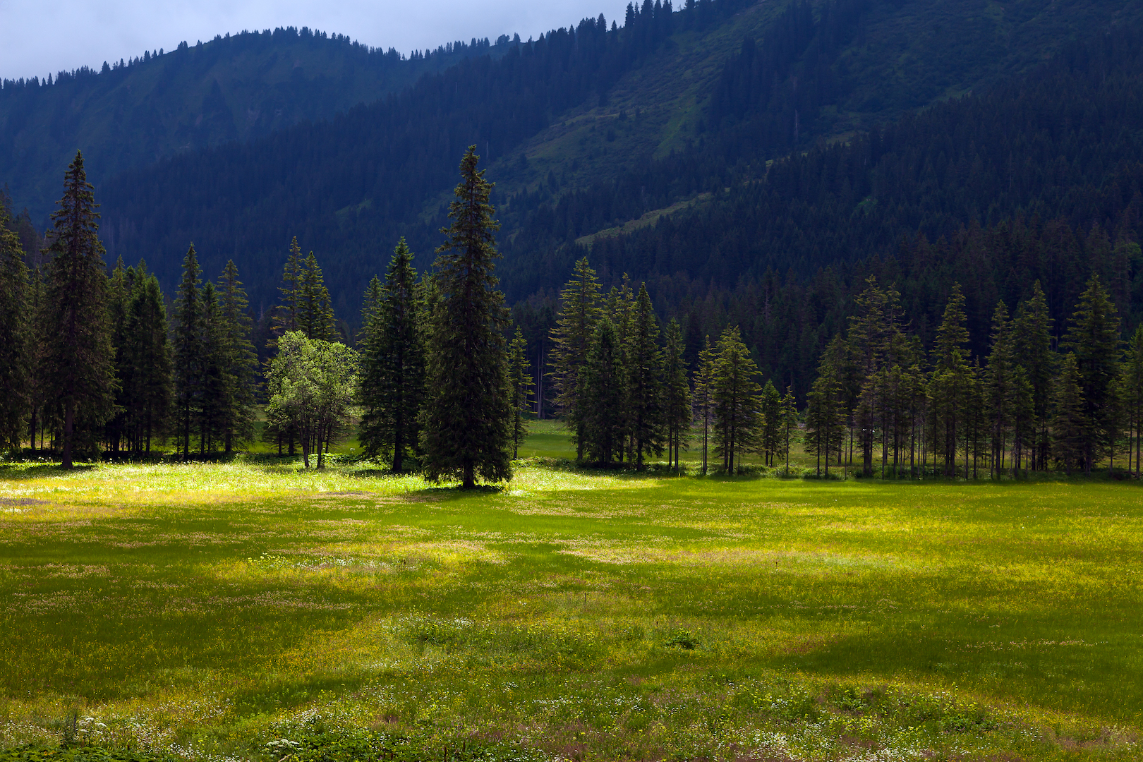
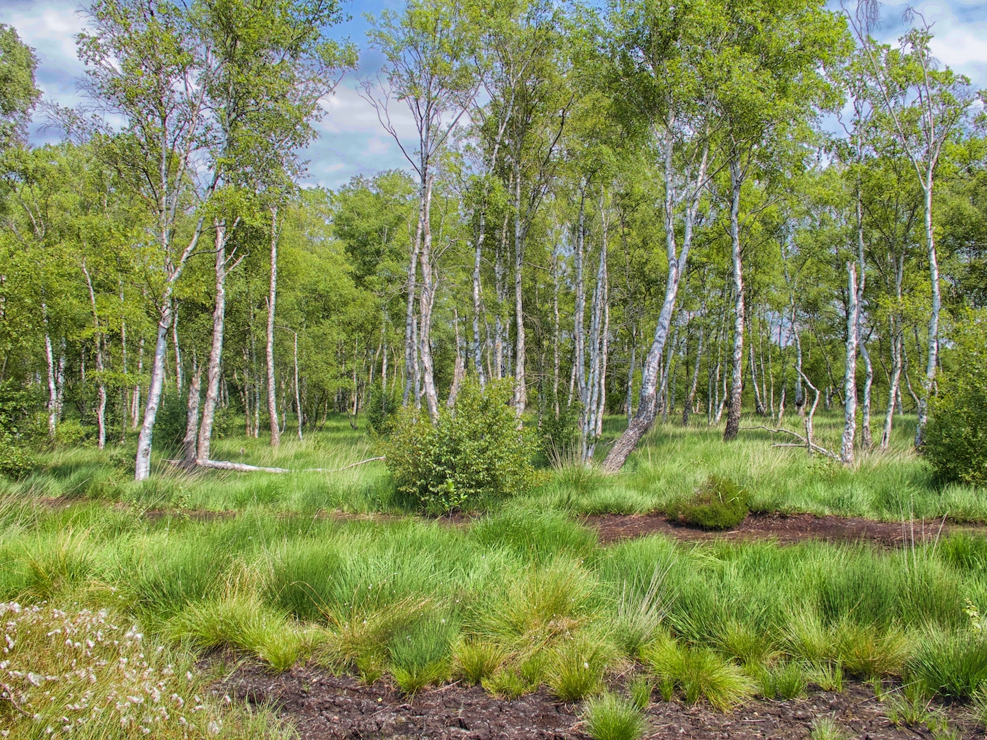
Im Sommer ist es möglich, die sehr abwechslungsreiche Vegetation der Gegend zu studieren. Es gibt einige offene Landschaften, aber auch einen schönen Wald mit Birken, der recht märchenhaft anmutet. Beim Rundgang lohnt es sich, auf kleinere Details wie außergewöhnliche Blumen und Gräser zu achten. Auch die Tierwelt ist spannend und vielfältig. Man kann Libellen und Schmetterlinge beobachten, aber auch viele Vogelarten, darunter Weißstörche, Kraniche, Schwarzspechte und Uhus.
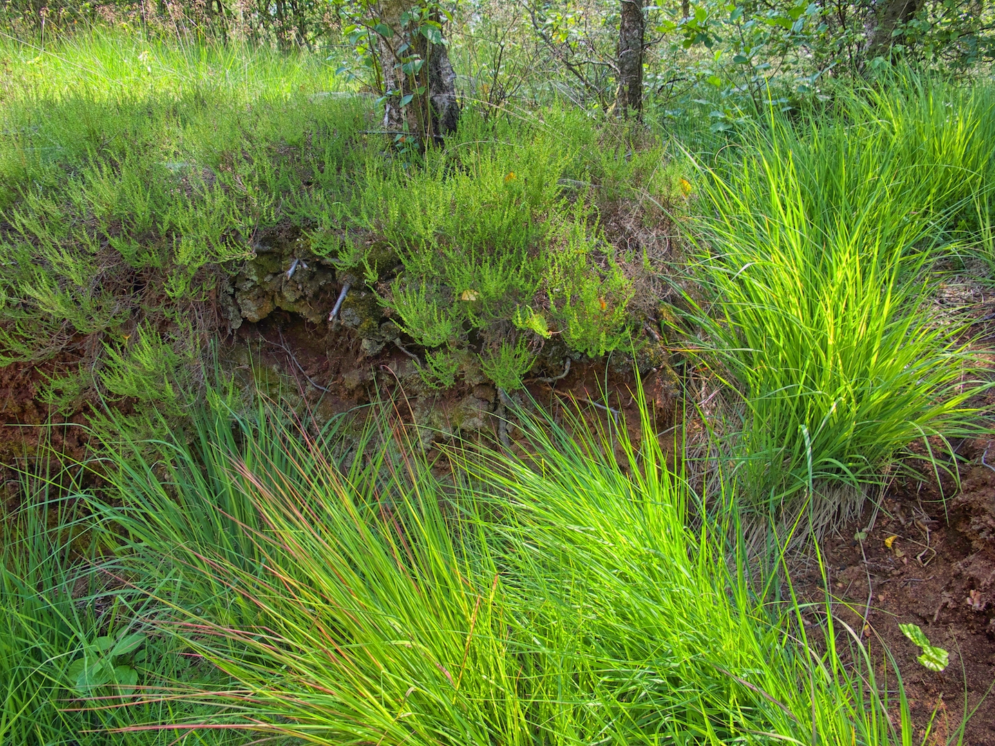
An einigen Stellen kann man die verschiedenen Schichten des Bodens sehen. Bemerkenswert sind die strahlenden Farben. Alles ist besonders in dieser außergewöhnlichen Landschaft.
Moorlandschaften sind in der Regel weniger bunt als beispielsweise eine alpine Landschaft. Dies kann ein interessanter Aspekt bei der Aufnahme von Bildern sein, die eine Struktur enthalten sollten. Eines der faszinierendsten Elemente in dieser schier endlosen Weite ist das Zusammenspiel zwischen dem Wasser mit dem sich darin spiegelnden Himmel und der Moorlandschaft.
Das Himmelmoor ist gut erreichbar. Der nächstgelegene Bahnhof ist Quickborn mit der AKN aus Hamburg kommend. Das Naturschutzgebiet ist nicht weit von Hamburg entfernt. Es gibt einen Parkplatz am Ausgangspunkt, der während der Ferienzeit und an manchen Wochenenden sehr voll sein kann. Bitte halten Sie sich immer an die von den Behörden festgelegten Regeln.
Schleswig Holstein hat viele sehr wertvolle FFH-Gebiete (Flora-Fauna-Lebensräume), von denen einige nicht weit voneinander entfernt sind. Es könnte sich also lohnen, etwas zu recherchieren und auch einige der anderen Naturdenkmäler im Umkreis zu besuchen.
Deutsche Bearbeitung: Redaktionsbüro Niemuth