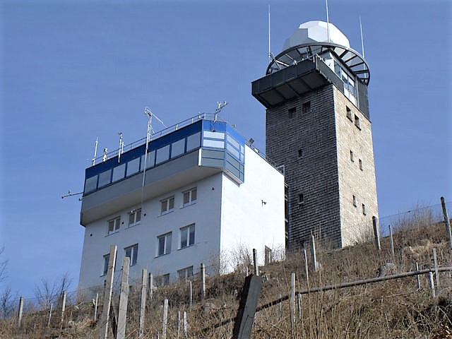
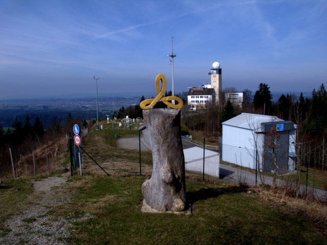
The Oldest Mountain Weather Observatory Of The World And A Weather Trail

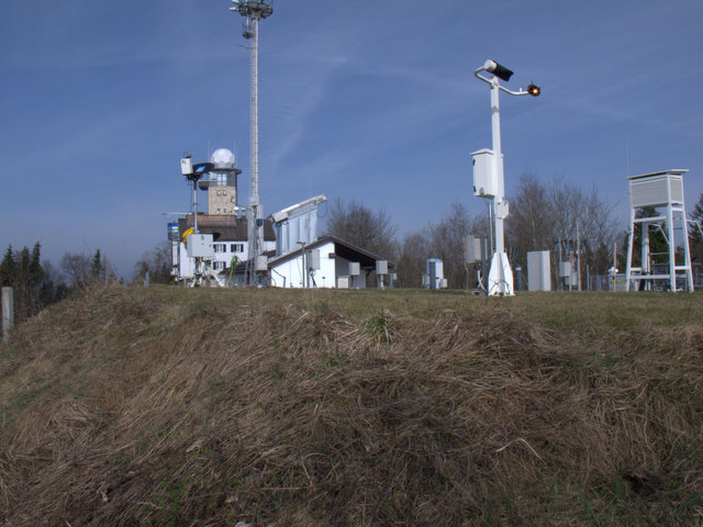
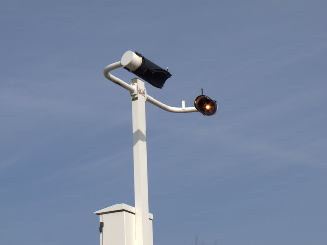
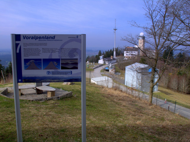
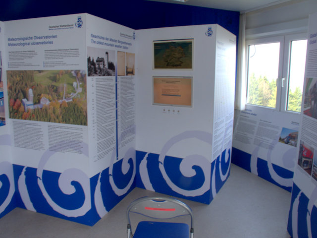
60 kilometres south-west of Bavarian’s capital Munich is not only one of the oldest observatories  but also one of the most important high-tech weather stations of our days. The Hohen Peissenberg is a nearly 1000 metres high mountain with a spectacular view. The mountain is situated in front of the Alps and many peaks could be seen from there. Furthermore there is a great view of the alpine upland with its lakes. On top of the mountain is the oldest mountain weather observatory of the world. There is a regular observation of temperature and other meteorological data continously since 1781. And long before this activity the monks of the monastery on Hohen Peissenberg began with scientifically measurements. Hohen Peissenberg is also a spiritual centre with a long tradition. The history of this observatory became very important in our days with an ongoing climate change: Unlike other old observatories Hohen Peissenbergs measurements of temperature weren’t compromised by modern civilisation. In Prag for example the growing city led to warmer temperatures. Here, in the clear and thin mountain air, there are no disturbing factors like urban heat islands. The measurements are a disconcerting proof and demonstration of ongoing climate change. There is no doubt that temperatures have risen over the last 100 years with records over the last 10 years. The obversatory’s measurements are also given proof to a significant change in weather patterns like heavy rain on one side and more dry periods on the other side. Today the observatory hosts the most modern technological research with top-notch equipment. An important field of research is the science of the atmosphere. For exampe ozone-concentratins are measured and other weather or atmospheric related phenomena. The observatory can do research about certain chemicals in the atmosphere and many other importants fields of current research. Its data are highly valued and are in use for the weather forecast. The observatory is affiliated with the German Weather Service (DWD). The area of the obvervatory is not open for the public but there are special guided tours and even more there is a big attraction for any visitor of the Hohen Peissenberg: there is a weather trail in the midst of the lovely landscape with woods and green meadows. Surrounding the peak of the mountain and the observatory there is a walkway with information tables. The information tables are particularly of interest for anybody who is interested in a good introduction to weather phenomena and meteorology. There is also an information center at the entrance of the observatory which gives you more information about the observatory. The weather trail can be combined with longer hiking tours from the train stations in Hohen Peissenberg and Peissenberg. You can also go to the top of the mountain by car. There is a huge parking space and a big restaurant. Furthermore there is an old church of interest.

Its a great place for weather-watching and learning about meteorology and a place which is easily accessible. Hohen Peissenberg is also close to the well known tourist area “Pfaffenwinkel”.

Dangerous Storm – Berlin And Brandenburg, Germany, March 17, 2017

On Saturday, March 18, an unexpected storm hit the capital Berlin and Brandenburg. The wind freshed up after noon and lasted till afternoon. A wind gust with 100 km/h was registered. The Fire starters got over 300 calls. Damage in the city was limited but in the surrounding Brandenburg the storm caused a tragic event when one person was killed in a car which was hit by a fallen tree. In Potsdam an advertising sign was flying around and did hurt three people.   The storm called “Eckhard” emerged on the southern side of another storm system in Northern Europe. It proved that storms are still difficult to predict. In this case the storm warning occured not before the storm had already hit. But most of the time the weather service warns one or two days before  a storm does happen. Storms often occur in weather-models a couple of days before. Nevertheless the challenge is to exactly predict the path of a coming storm. Furthermore the strength of a storm could differ from the estimated strength. And – as in the case of Eckhard – there are surprises. Storms are a very typical weather pattern in February/March in Middle/Northern Europe. It is the time between winter and spring and there are big differences between cold air in the North and warm air in the South. Some storms during this time could be really destructive and can destroy whole forests. In this case the storm ripped off branches of trees (picture above) and felled trees. The S-Bahn in Berlin was interrupted for hours. Storms with a maximum of 9 or 10 Beaufort also create bigger waves on the havel-lakes like lake Wannsee on the westside of Berlin. These winds are also a problem for sailors or row-boats because the waves are unpredictable. In the late afternoon of Saturday typcial storm clouds could be seen. In the evening the sky was clear again. The next day it rained and it became significantly warmer. March was so far too warm in many areas, even there was still snow in the mountains and skiing was possible.      

Winter Storm – Severe Weather In The Bavarian Alps, January 7-8, 2017

January 2017 began with very cold temperatures in Middle Europe. In some places it was 20 degrees below zero. Then it became warmer and in Upper Bavaria and in the Alps there was heavy snowfall. In Mittenwald, which is very close to the Austrian-German border, there was a mass of snow. Snow began falling on Saturday, January 7 and lasted on Sunday for the whole day. This made a big difference to previous years when there was no snow in the Bavarian alpine valleys during the same time of the year and it was much too warm. The severe weather during the first weeks of January caused many traffic accidents but in the alpine region people are well prepared for winter weather. However a weather pattern with a series of low-pressure systems in winter with sudden jumps in temperature pressing against the Alps from the North-West-Atlantic can lead to extreme dangerous situations. In Galtür, Austria, one of the biggest disasters happened in February 1999: afters days of extremr snowfall enormous avalanches hit the village and killed 38 and many people got injured. The village was isolated from the outside-world for days and ended in a spectacular rescue mission with a fleet of helicopters. The catastrophy lead to investigations about responsibility and a a lot of new measures to protect the valley from deadly avalanches. Even today with modern technologies avalanches are a constant danger in the alps. Tourists are always advised to check with local authorities and not leave secured paths during winter. In this situation here the weather calmed down after the weekend of January 6-7. Tourist can enjoy now the valley of Mittenwald and the municipality which has a rich history. It is situated in the valley of the river Isar on the historical route between Germany and Italy. It was also the route from the South to the North in the times of the Roman Empire. Even today you can see an Italian influence in Mittenwald. The municipality is also famous for the manufacture of violins.
/a> Rakuten Affiliate Network Welcome Program There are many walking-paths and streets leading to hotels and cabins in the surrounding mountains. On the East-side there is the impressing Karwendel, a mountain massive with steep rock faces and high mountains. The Karwendel is a extreme territory with a wilderness. On the west side you can get into the Leutasch-Tal, which is on the South-Side of the Zugspitze. Mittenwald is not far from Garmisch-Partenkirchen. There is also a cabin built by King Ludwig II not far away, The Schachenhaus, which can be visited during summertime. Furthermore there is the luxury hotel ELLMAU which was the place of a G7 meeting recently.

Frost – Garmisch Partenkirchen, Germany, Early December 2016

December 2016 was a dry month in many parts of Germany except the North-East. There was also very little snow in many regions. However another weather phenomenon created fascinating sceneries: hoar frost. After some warmer periods there was ground frost and air frost in the early days of December. It was the right condition for hoar frost which is composed of tiny ice crystals. Hoar frost is formed by the same process like dew and when the temperatures of surfaces are below the freezing point (further information: met office). Hoar frost creates great motives for photography and film. The Garmisch-Partenkirchen valley is particularly interesting during such days. Its one of Germany’s most spectacular sceneries anyway with the highest mountain of Germany, the “Zugspitze” and a huge skiing area. The huge mountains are on the south-side of the valley. Consequently there are parts in the valley like the village Grainau which gets very little sunshine in December and January. In the shadow side of the valley on the north-side of the Zugspitze its cold and the hoar frost remains. On the other side of the valley it can be warm and sunny at the same time. Thus there are very different climate conditions in a small area. A special place is the Eibsee, 1000 metres above sea level. It’s surrounded by woods and in a wild alpine area. The Eibsee is the last stop of the famous cog railway in the valley. Its also the valley station of the cable car which brings visitors in a few minutes to the top of the mountain. There is a walkway around the lake leading to a fascinating landscape. There is also a little island in middle of the lake and a luxury hotel on one side. The shore of the lake is formed by huge rocks, which looks great with a thin layer of hoar frost. During winter the lake is often frozen. Due to the special conditions interesting patterns appear on the ice surface.

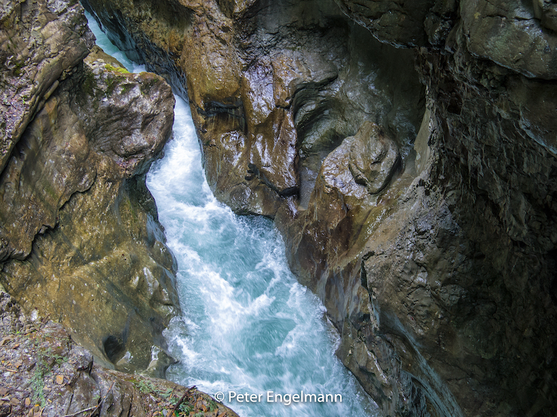
In winter and autumn there are often very different weather conditions in the alpine region and the region in the north of the mountains. In the valley of Garmisch-Partenkirchen it was a sunny day, but at the end of the valley there was a mist remaining for most of the day. Atmospheric inversion happens often when there is high pressure. This means there is a warm layer of air on top of the cold air in the valley. It can get really warm on the mountain tops. Sometimes you can see the mist then below, which is like being above the clouds. If atmospheric inversion lasts for a longer time it can create problems with air pollution near the ground because there is no circulation of air. Cold pockets of air can also last very long in some alpine valleys like the “Funtensee” in Bavaria, which is regularly mentioned in the weather news due to its extreme low temperatures. During December Garmisch-Partenkirchen prepares for the winter season. It can still be very warm when the “Föhn”, a warm wind created by rain-clouds on the south-side of the alps, lets temperatures rise. Climate-Change is also an issue with longer periods of warm weather and a melting glacier during summer. Nevertheless the Garmisch Partenkirchen valley is a very attractive destination for tourists in winter. Recently there had been huge investments. A new cable car is built which will bring more visitors to the top of Zugspitze. Usually there is a weather-change after New Year and when snow falls the valley turns into a fairy-tale landscape, which is another great scenery for photography. A great place is also the partnach gorge with bizarre ice sculptures.