Devastating Super-Cell Storm in Upper Bavaria on July 10, 2024
Peter Engelmann, July 11, 2024
Weather services warned the day before and were right: In the afternoon of Wednesday, July 10, 2024, a severe weather system hit Bavaria with full force. One epicenter of the devastating storm was the municipality of Holzkirchen, South of Munich. Large hail, flooding, gale-force winds, and lightning left chaos amid rush-hour traffic.
Fire Starters had their hands full of work with flooded cellars and damaged roofs. Rail transport was interrupted and was down for hours. Many overturned trees blocked streets and rails. Passengers were trapped for hours.
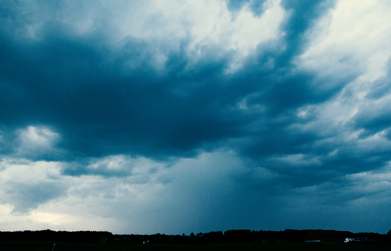
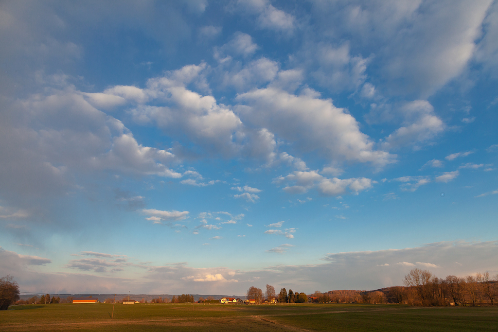
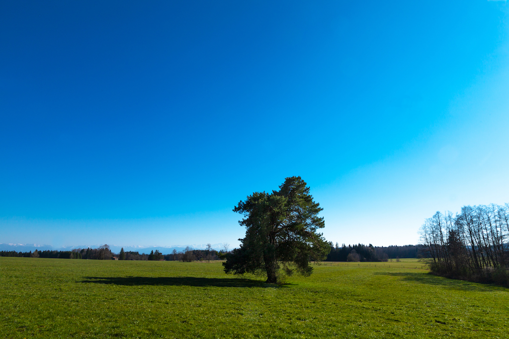
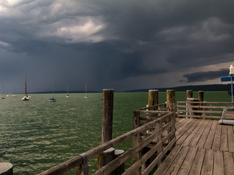
In West Upper Bavaria and elsewhere the approaching weather system was an awesome sight:
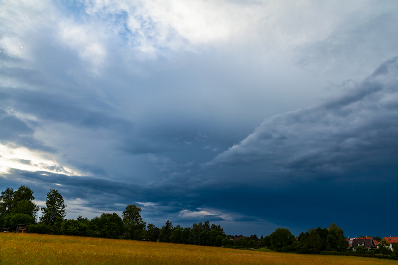
Shortly before 3. pm, a drama unfolds in the sky. Note the different layers of clouds which seemed stacked above each other. After approximately 20 minutes the weather system came closer fast.
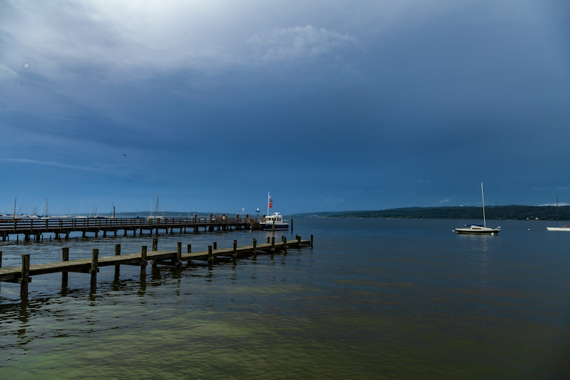
As with previous extreme weather situations this year the amount of rain was impressive. Streets were flooded within minutes. The super-cell storm is the last in a series of extreme weather events in 2024. In May a flood set whole villages near Augsburg under water after days of rain. Weather remains unstable for a longer time. The amount of rain and sudden flash floods underline the change in the atmosphere. A warmer atmosphere due to human-made climate change can contain more atmospheric humidity and lead to more extreme weather: Heat waves and flooding are the new normal.
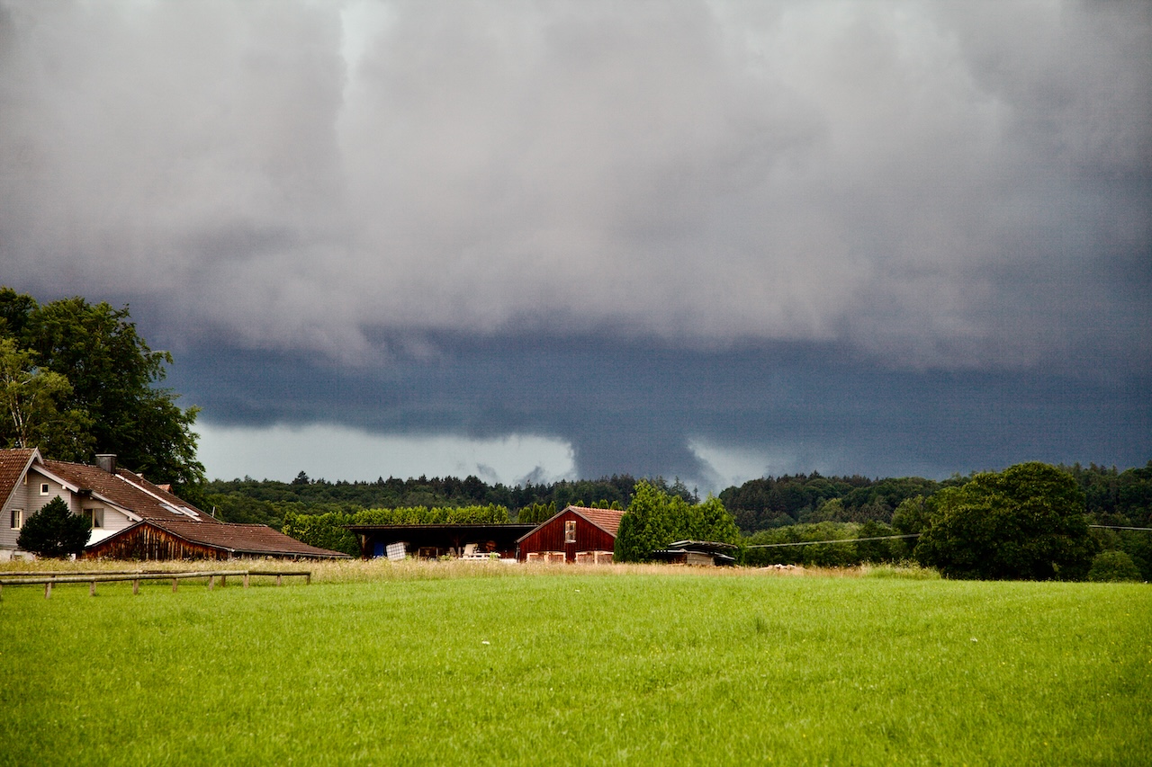
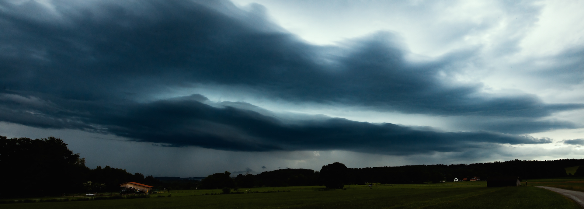
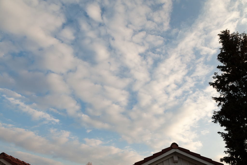
This might be mistaken for a tornado but it is a low-hanging cloud.
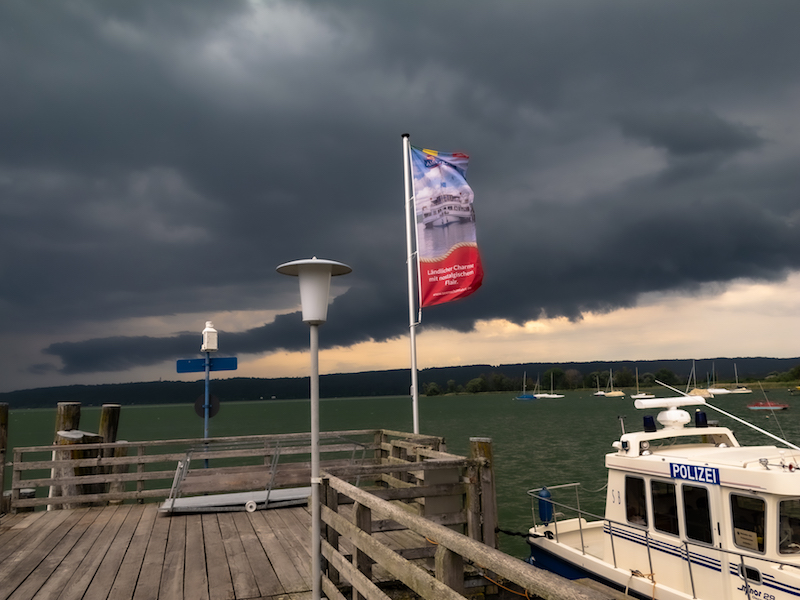
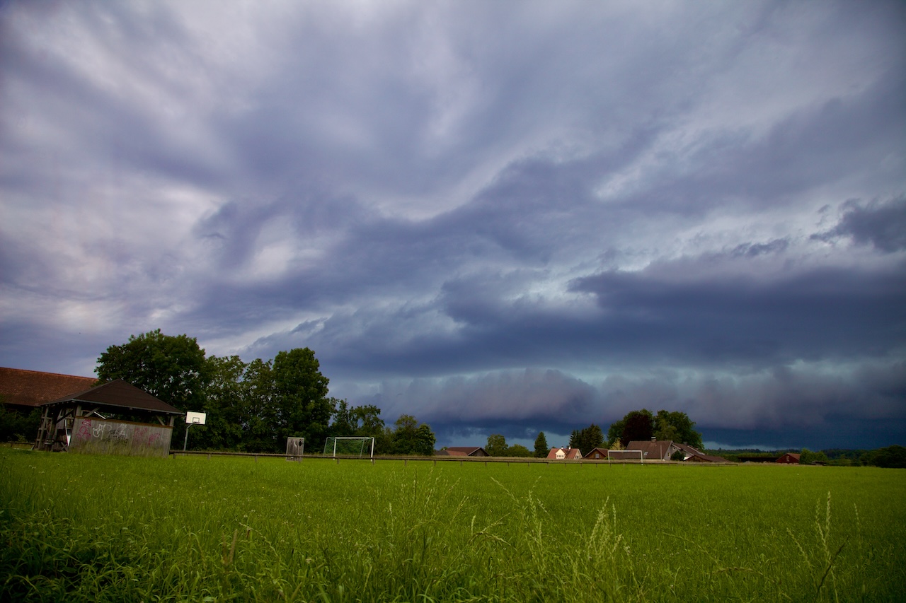
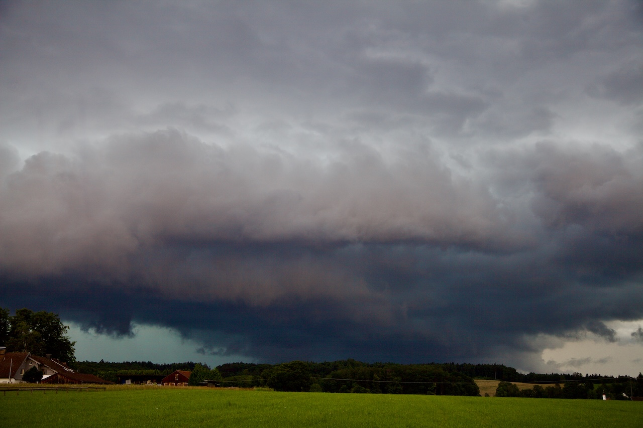
The severe weather system has approached with interesting and unique cloud patterns. In some moments it looked like the clouds would hit the ground. The timelapse video below shows the chaos in the atmosphere. It got pretty dark shortly before the rain arrived. Since the cameras are not waterproof the coverage presents only the beginning of the arriving storm. When the storm arrived there was some lighting and intense rain for a long time.
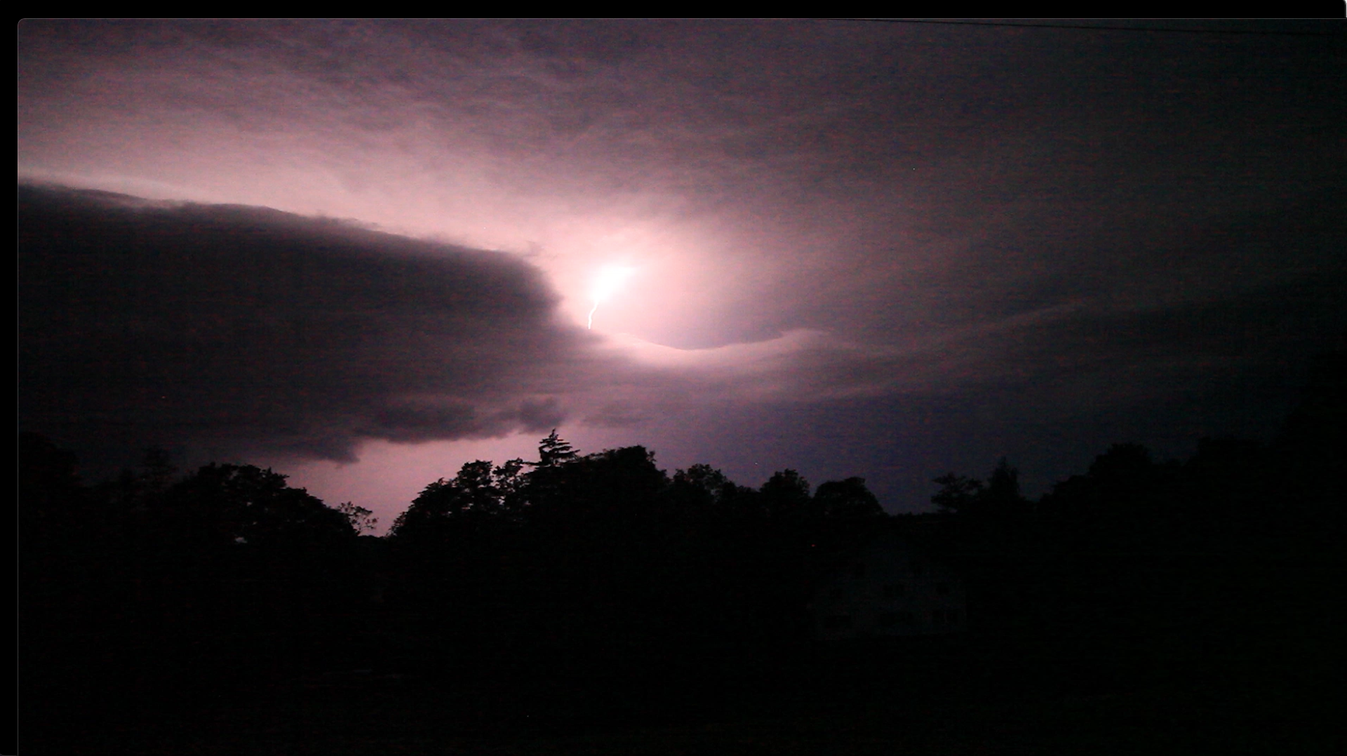
Even though it was the middle of the day it got pretty dark.
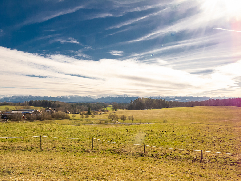
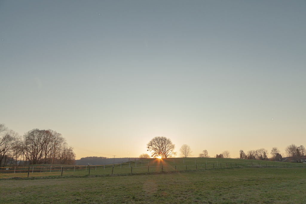
Late in the day, the rain stopped and the sun appeared again. But the humidity was still high and more thunderstorms are expected for the next days. The temperature was a bit lower but climbed again on the next day. July is the typical month in middle Europe for hot temperatures and severe thunderstorms. They happen more likely in the mountainous terrain in Southern Germany. The super-cell storm like yesterday, which often starts in the area where the river Lech leaves the Alps is called “Lechtalerin”. Typically it intensifies on its path to the East. These types of supercells are often long-living and move a long way. They should never be underestimated.
Nevertheless, the weather phenomena on the north side of the Alps are a unique opportunity for photographers and filmmakers to take breathing images and portray the forces of nature. Timelapses are revealing movements and dynamics in the weather system. In this case, two cameras were used for the video, one shot in timelapse mode, the other in normal mode with 60 fps. This method gives more options to get good footage of thunderstorms.