Winter Storm Nadia, January 30, 2022

End of January shores at the Northern Sea and stretches in different countries were hit by winter storm Nadia. This was a low pressure system which changed weather condition in Germany after a quiet period with high pressure. Most of the days there were low hanging mist, some snowfall and lots of sun in the Alps. The weather change is not unusual for this time of the year. Winter Storm Nadia did serious damage on the island Langeroog, Hamburg and Berlin. In Langeroog the sand of a shore was swept away and what was left was some kind of newborn cliff.

Windy Sunday Morning: Fast moving clouds, waves and snow on the hills in the background

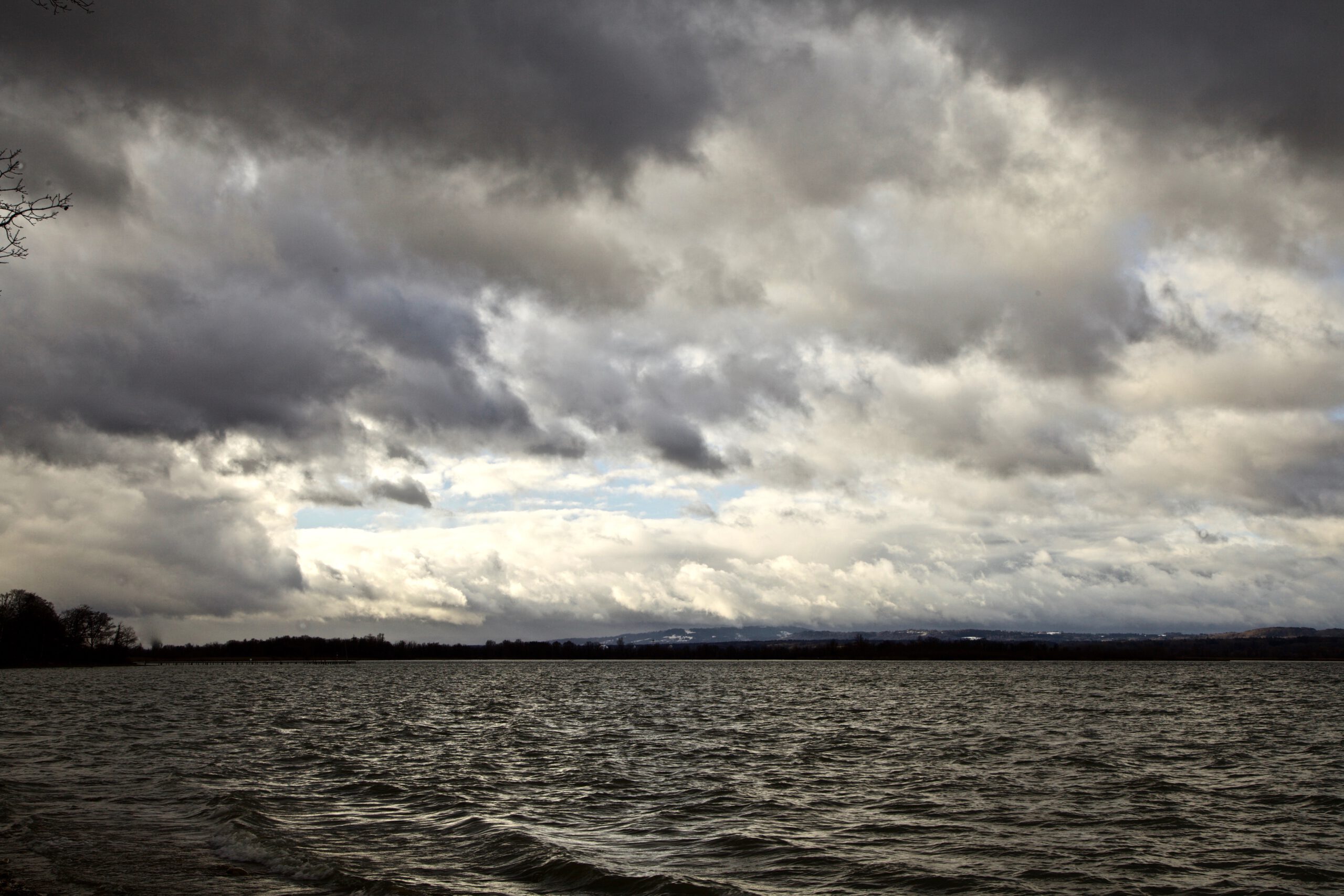
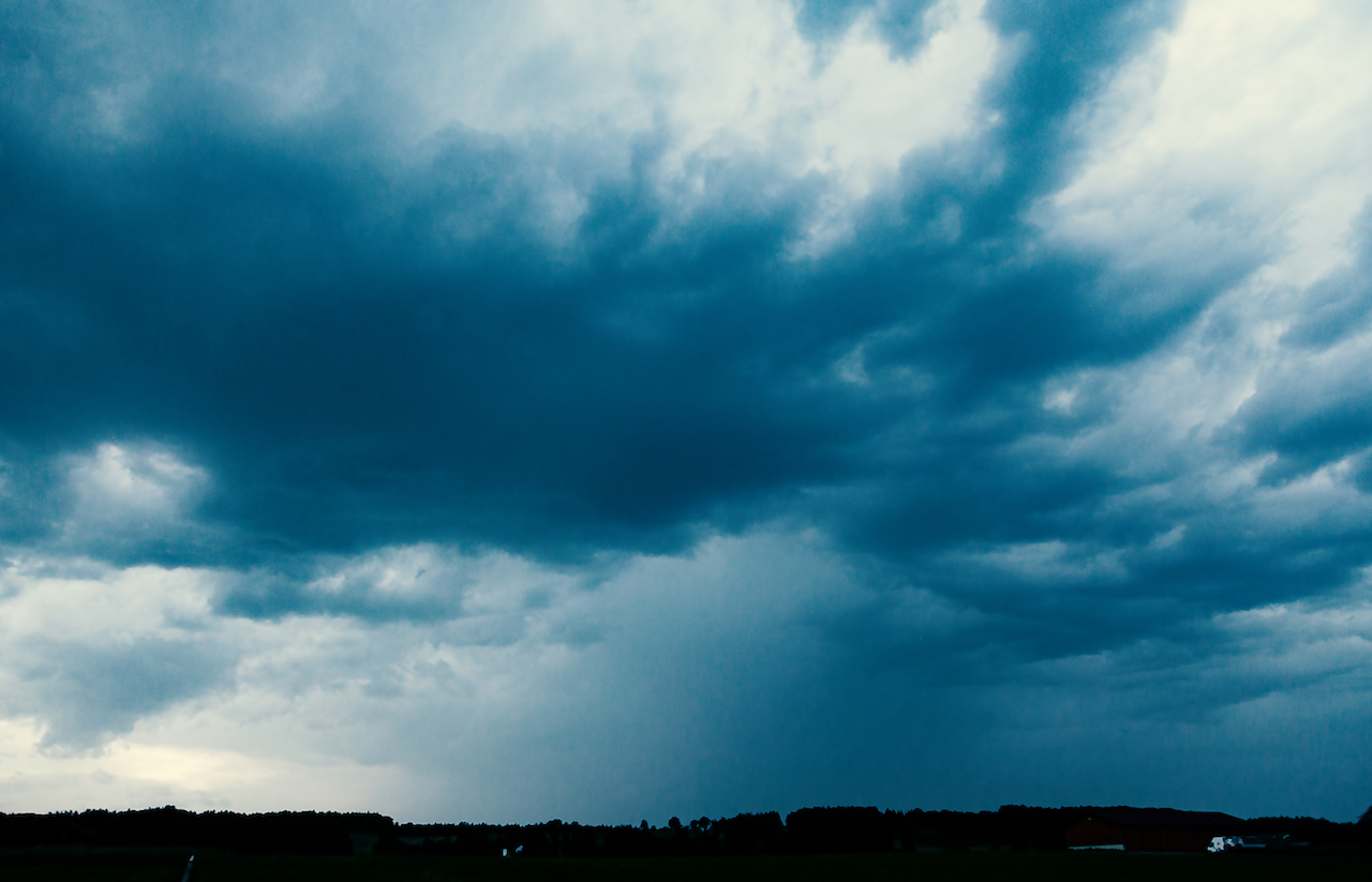
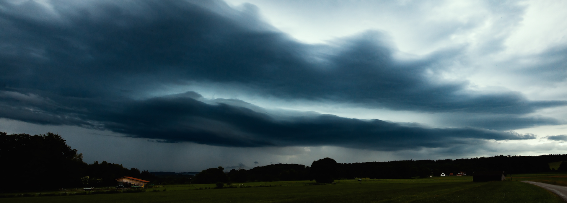
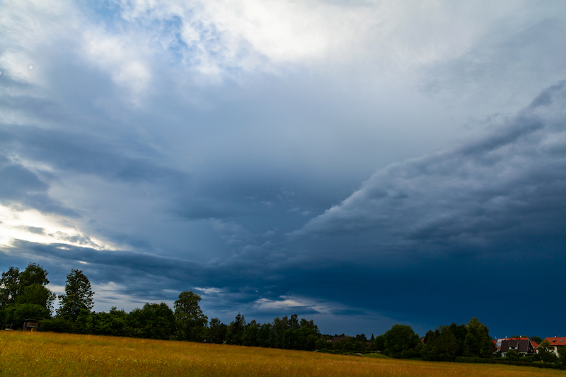
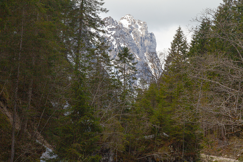
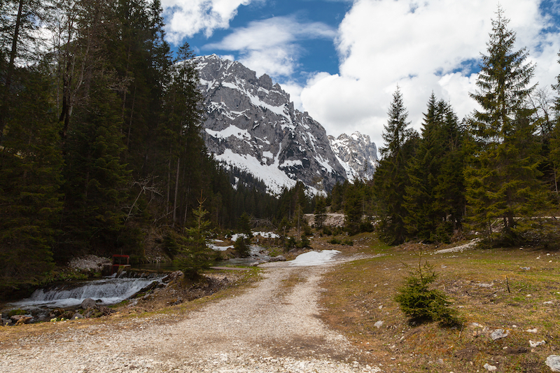
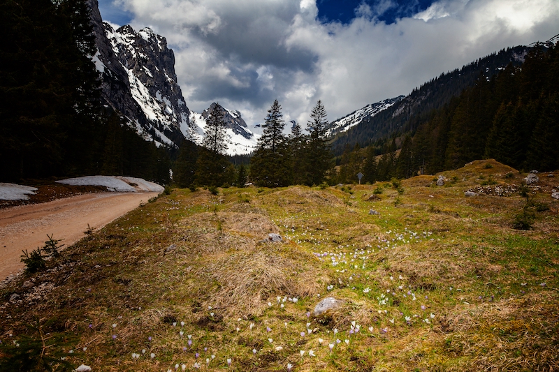
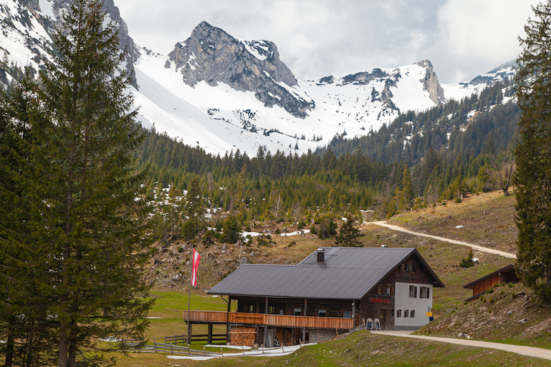
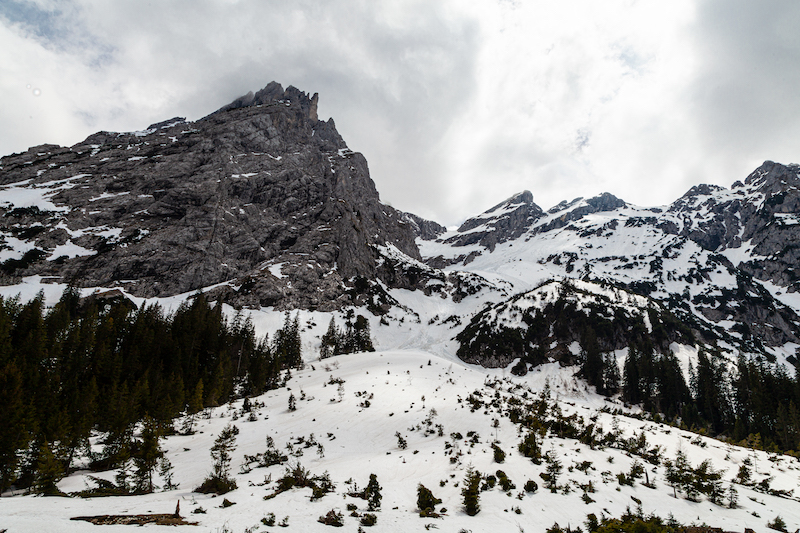
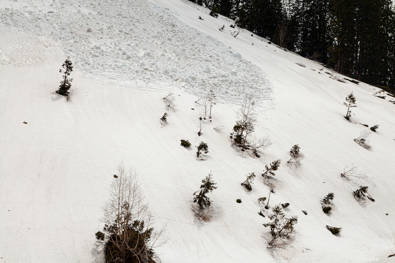
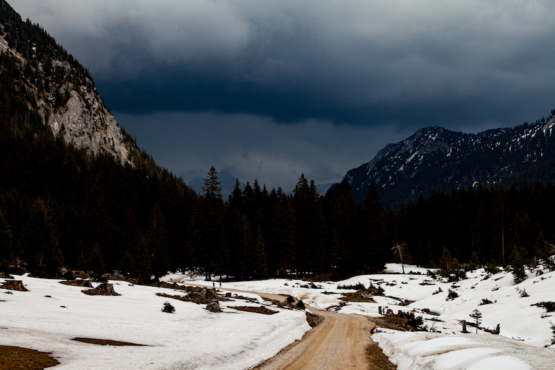
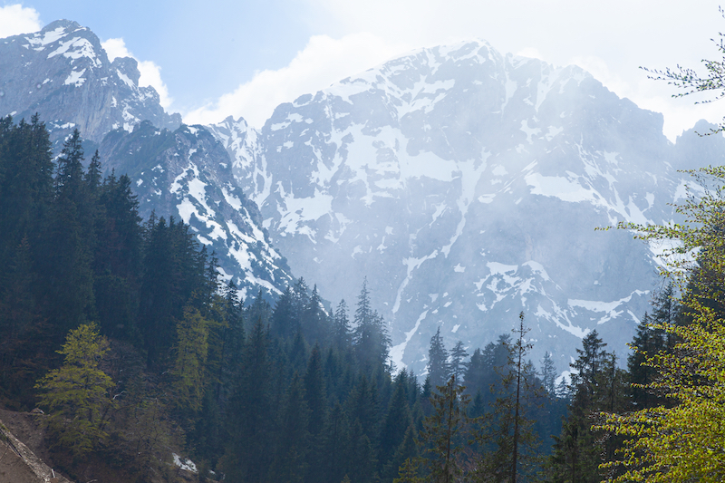
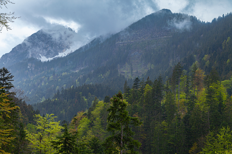
In Southern Germany there was a windy night between January 29 and January 30. The wind calmed down a bit in the morning of Sunday, January 30. There were moderate winds at the Lake Ammersee. Temperatures were up a bit after some cold days. The snow remained in the higher places of Upper Bavaria. As often there were interesting atmospheres and cloud patterns during that stormy winter day. Even the wind was only moderate on the ground, the clouds were moving fast. It was a quick change of conditions with sunlight and overcast sky. The air was very clear This is always a condition after a storm and very useful for taking pictures or taking videos.

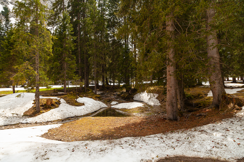
The winter times and morning hours are also a good time for pictures and videos, since the sun is not heigh up in the sky. Therefore there are interesting cloud colours and a crisp blue sky between the fast moving clouds. It is good to avoid walks through forest even after a frontline or a storm has passed. Open places like meadows, hills or the shoreline of a lake are safer places to capture some pictures.

Driftwood after the storm night

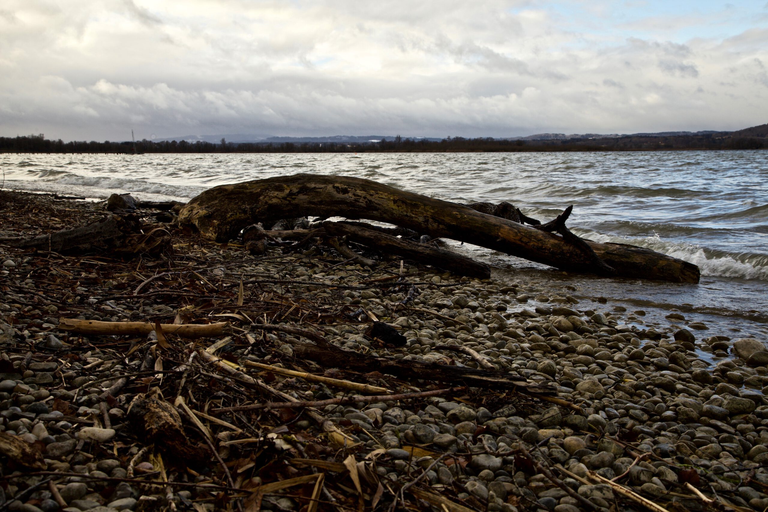
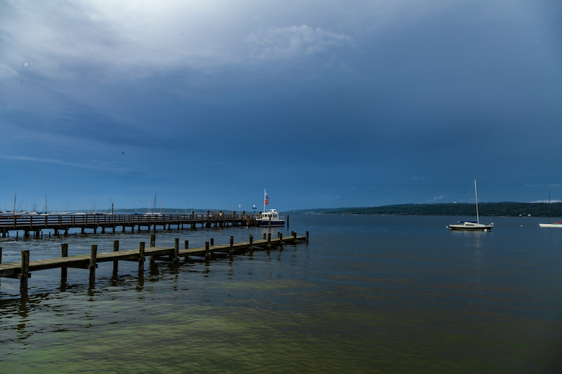
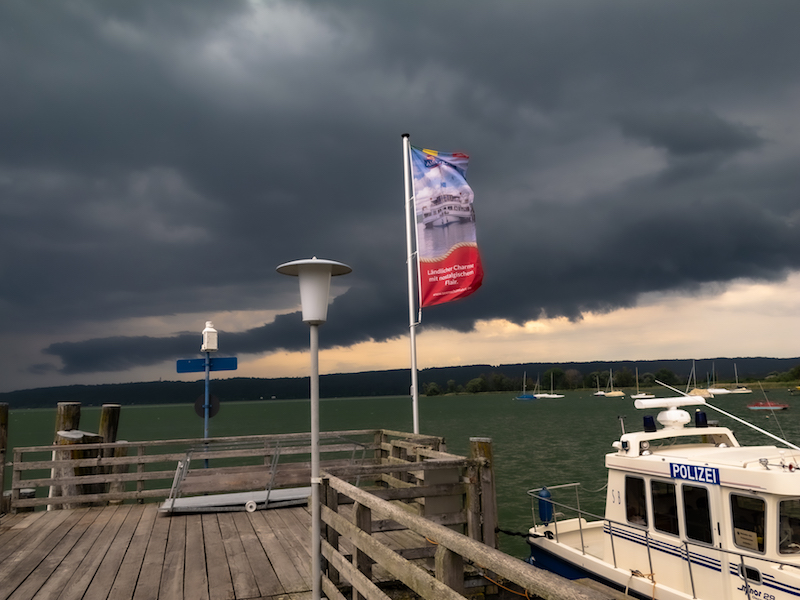
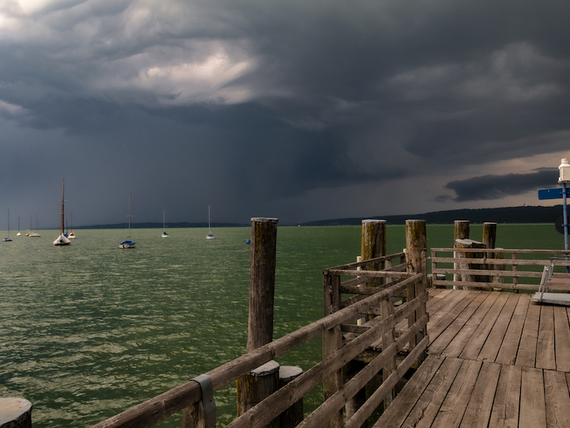
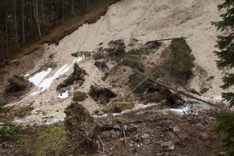
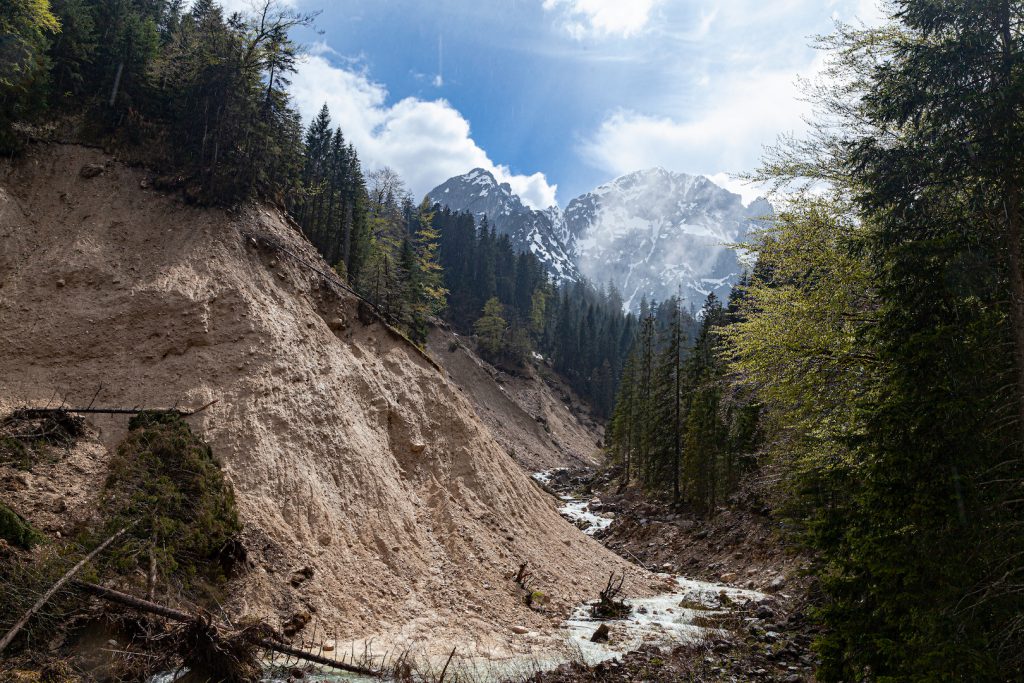
The shoreline on the Eastside of the lake Ammersee, the second biggest lake of the so-called “Fünf-Seen-Land” south of Munich is a popular spot for photographers. It is close to the nature reserve “Ammersee West” and there is a sense of wilderness there. There is always driftwood and whole trees scattered around. If the branches or trees last longer in the water they can turn into sculptures. Nature is an artist here.

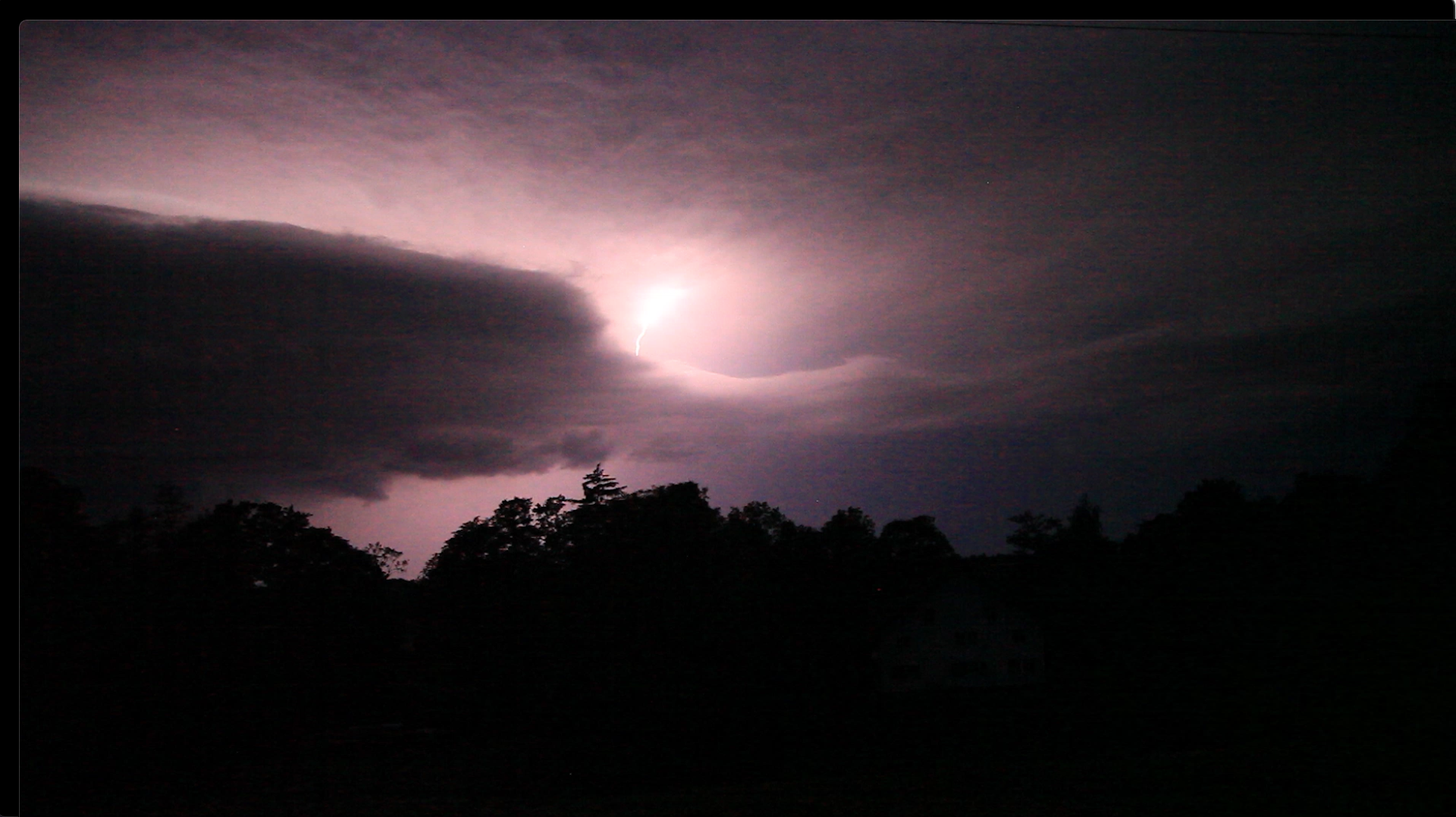
Thus it was the idea to take a stroll at the shore of lake Ammersee near that nature reserve and take some pics with the fast moving clouds on Sunday morning. It was only a quieter moment between two storm systems. The wind was taking up again on Monday, January 31. Temperatures dropped again and snow as falling. Series of storms are not unusual for this period of the year. However, we see now unusual extremes at any time of the years in some parts of the world. Whereas winter storm Nadia was more or less a “normal” storm, the U.S. was hit by extreme winter conditions. the same time.

After a cloudy morning there were more and more blue skies. In January the winter sky has that special blue color. After the front had passed the day before it was dry til the next day. Wind and waves changing the appearance of this special shore all the time.

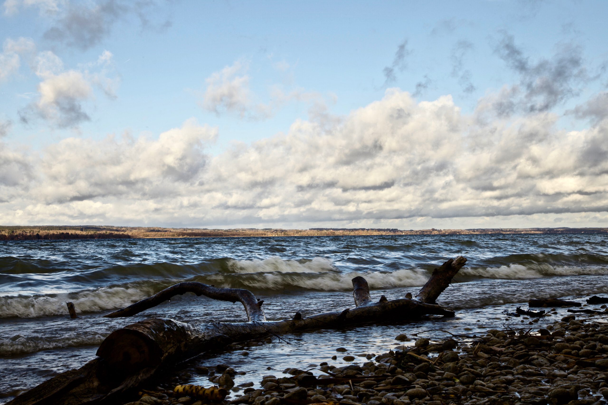
Peter Engelmann, 31.01.2022

Extreme Weather In Southern Germany June 2021

Peter Engelmann, July 3, 2021

2021: A cold spring with temperatures in May below average. Luckily there was lot of rain in parts of Germany after a drought since 2018 in some areas which damaged trees and raised serious concerns for example about the future of the water balance and water supply. In June a heat wave followed. However unlike in previous years there were no long lasting high pressure systems. The weather situation wasn’t so far stable for a long time. The heat wave ended with some extreme weather events. And again, we had situations for example in South-West-Germany or in Landshut, lower Bavaria, which were unprecedented. There are a lot of discussions now going on if this is climate-change related or if it is another rare weather pattern.

Things began to change in Bavaria June 20, 2021. The days before had been mostly dry except first thunderstorms in the Southwest and in the Alps. On June 20 there were some rumble and not so intense lightning in the region west of lake Ammersee. As usual there are huge local differences: There were soon stronger thunderstorm whereas a few kilometres apart from that place nothing or little happened. That’s very usual and always challenges weather forecasters.

Thunderstorm in the early evening hours of June 20:

Short lived thunderstorm cell June 20, 2021

The next days there was a much different weather situation: In the late afternoon or evening real strong thunderstorms occurred. Rotating supercell storms were also reported in the Southern Germany. Even more extreme weather happened in France where an air mass boundary created havoc. In France huge clusters of thunderstorms formed repeatedly and moved to Belgium and North-West Germany.

Strong thunderstorm on June 24, 6.45 p.m. near Diessen (Lake Ammersee, Upper Bavaria)

Thunderstorm approaching June 24, 2021

The extreme weather with strong thunderstorms, flash-floods, even extreme hail with enormous hailstones and masses of hail lasted for a couple of days. The reason: The air mass boundary moved only slowly in Europe. It worked like a machine charging up the atmosphere and creating new thunderstorms. A time-lapse video from June 21, 2021 late afternoon gives you some idea how quickly the storms formed:

It was interesting that there were very different types of thunderstorms. The location southwest of the Ammersee experience short-lived thunderstorms, a thunderstorm which arrived very quickly as the next day there was slow movement and plenty of time to take pictures. In the night there was also one of the “stroboscope”-like thunderstorms, where you hear not much loud thunder but you see an incredible light show with high rates of flashes. There were both thunderstorms without wind and thunderstorms with very strong wind.

The thunderstorm on June 24 created some great lightning:

Lightning June 24, 2021

The storm below occurred June 28, 2021 and brought intense lightning. However it was completely different as the “strobe-storm” the night before before. The lightning was also better visible. After one of the storms there was also a thick mist around sunset. Later the mist vanished and another thunderstorm with strong lightning occurred. The stronger storms came mostly from the Alps.

Thunderstorm in the evening of June 28, 10.00 p.m:

Lightning June 28. 2021

Flash Floods and Super Cell Storms

Finally there was an exchange of air mass. The hot humid air was replaced by colder air. June 29 was the climax of the series of thunderstorms in Germany: In Bavaria, a super-cell coming from Baden-Württemberg, intensified and brought an incredibly flash flood in Landshut Lower Bavaria. The days before a deadly tornado happened in the Czech republic. The video shows the aftermath of the big storm on June 29 which was accompanied by very strong winds.

Here is also an interesting thing for photographers and videographers: Usually most people are interested to catch a storm coming to them or before it happens. But there is a lot of possibilities to get interesting moods and pictures when the storm passed. The video belows shows what was going on in the atmosphere after this huge thunderstorm on June 29.

June 2019: Dramatic Hailstorm put sailors in danger and a monster Heatwave.

May 2019 was the first month in Middle Europe for a long time which wasn’t too hot. There were some rainy days. It seemed that weather might turn in a more “normal” mode compared to 2018. This was before June. In the larger Munich area people experienced a freak hail storm on Whit Monday. There was also severe weather in other parts of Germany in the first half of June. Later the month, large parts of Europe suffered from one of the most extreme heatwaves ever recorded.

Aftermath of severe Hailstorm in Munich region

Thunderstorms and severe weather didn’t came unexpected on pentecost. Weather models showed a highly likelyhood for thunderstorms in the Alps and the Upper Bavaria region. However the events on June 10 proved again how tricky severe weather developments can be and how difficult it is to set precicely the right weather alert in motion.

Sunday, June 9, was more or less a qiet day. It was getting warmer in Upper Bavaria and other regions. There were already weather warnings issued. On Monday, June 10, the alert system of the huge lake Ammersee south-west of Munich was activated in the morning hours, but then it was quiet for most of the day. A lot of tourists enjoyed the holiday in Germany. People were swimming and sailing. Weather forecasters and and the lifeguard service were still expecting something to happen.


The weather radar showed signals getting stronger in the Allgäu and the Upland before the Alps around Kempten after noon. Here an incredibly strong cell was building up. When I checked the radar a couple of times in the early afternoon however, I couldn’t figure out which path that storm would take. I also didn’t figured out how fast this monsterstorm would move eastwards, so I was also surprised when it suddenly became really dark on this summer afternoon.

It was around 16.23pm when the orange alarm lights at the Bavarian lakes were activated again. There were still a lot of sailors out there. At one lake the lifeguard service warned people who were still swimming in the “Wörthsee” and closed the shore. 50 minutes later all hell brake loose on lake Ammersee. The Starnberger Merkur Newspaper later published a very interesting coverage.

Alex Beck, a sailor, told later the Merkur-reporters that the storm-cell was “racing”. Very soon the lifeguard service had to solve hands full over the next hours.

The same applied to firestarters and police: The thunderstorm left a path of destruction beginning in the Allgäu, hit several communities around the North side of the lake Ammersee region and also hit the west and the north of the Munich area.

Hailstorms in Upper Bavaria are not unusual. There is particularly a history for severe weather in May and around Pentecoste. What’s so unusual was the path, which was hard to predict. Big hail is often more seen in the South-East were there is even a special cloudseeding flyer unit for this problem. I didn’t find any report from a professional weather researcher, but I am sure this was a strong super-cell. Super-cells are more likely to take unusual paths.

The intensity was the other unusual fact. I experienced also strong wind gusts and smaller hail but 10 km to the north it was raining hailstones with the size of tennis balls.

Within minutes roofs very destroyed, nameless cars damaged, a motorway tunnel was set under water, greenhouses were completely destroyed and also a grocery store. It ended up in estimated damage cost of 30 Mio. Euros.

The same time people on the lake Ammersee were struggling for their lives. A couple hung on their capsized sailing boat, others were stranded and another sailor couple were only safed by their “persenning”, a cover, from the hail bombardement. They had reached a buoy but couldn’t leave their ship. Then they had to wait out the storm. At this time they experienced waves like never before according the their account in the “Starnberger Merkur” newspaper.

Aktivieren Sie JavaScript um das Video zu sehen.
https://youtu.be/jn_ZWBkcW6M
Another thunderstorm in June

The following weeks people began to recover from the hailstorm, settling insurance matters and repairing windows, cars and houses. There were more thunderstorms but nothing like the cell on June 10. However another extreme weather situation was already throwing a shadow.

Weather models predicted an enormorous heatwave for the second half of June. Weather services were astonished by themselves about the numbers. And the models were mostly right. Germany saw new temperature records but not the 40 degrees Celsius. Nevertheless, there were set many new records. It didn’t took long and the bushfires, which were a problem in May started, again.

France saw the worst with some over 40 degree Celsius records. The authorities had to issue a state of emergency in some areas. Particularly Southern France was affected.

The situation calmed by the end of month. On July 1, 2019, a cold front with thunderstorms reached Southern Germany. There are still wildfires raging. The heatwave is only part of a problem which has the potential to become the real big threat for the near future: In wide parts of Germany there is still a drought. The government published recently a study about the effects of a drought lasting several years.

cold front and thunderstorms July 1, 2019

Wild Tyrolean Valley After Severe Winter


Musau, Austria, May 19, 2019

In April 2019 there were many fears in Central Europe that 2019 would repeat its extreme weather patterns with a drought in many parts of Germany. Luckily, in May 2019 weather turned back to normal patterns with rain and colder temperatures. Unlike other areas, there had been a lot of precipitation in the Alps during winter 2018/2019. In some places, there were tons of snow. Devastating avalanches threatened some alpine valleys. There had also been some storms which did severe damage in the mountain forest.

A trip into the Alps in May is a fascinating thing. Particularly after a period with the above-mentioned weather extremes. In the higher regions, a hike can begin in “summer” with green meadows and warm temperatures but winter isn’t very far. It is also a chance to see the power of nature. It is the time of devastating thaws when the huge mass of snow melts quickly. And there are many traces of this last winter: Nature is recovering from avalanches and in the mountain forest we see the destructive force of severe storms.

Spring happens late in the mountains. It is a short time span when life returns to the frozen world. It is time to experience both the destructive power of the elements and its incredible beauty.

The Rein valley near Musau in Tyrol offers it all. It is perfect for a trip and is easily accessible. It is one of the most impressive valleys in the Northern Alps. Steep Rock faces, a raging river, a very natural forest and high peaks of the “Allgäuer Berge” makes it an unparalleled experience.

In Musau there is both a train station but also a parking spot, “Bärenfalle” at the beginning of the hike. The first half hour of the walk is in the forest and a steep ascent. After a while, the trail reaches the first vantage points. The peaks of the mountains become visible.

Sunday, May 19, started as a sunny and slightly cloudy day. However, there was a severe weather warning in place. It was said that thunderstorms would already occur before noon. The good weather lasted longer as expected.

Majestic Mountains in the background.
Mountain Forest In The Rein Valley

The trail is also a forest road which connects the village with the Musauer Alm and the Cabins, the Otto Mayr Hütte and the Füssener Hütte.

Road In The Rein Valley
Spring Flowers

After approximately one and a half hour of walking the cosy Musauer Alm comes into sight. It is the perfect opportunity for a stop and getting some good food in a very friendly atmosphere. After the stop which was in the middle of the day, the weather still looked fine. It seemed that the weather forecast wasn’t right. But in the mountains, you need to be very attentive and conditions can change very quickly.

Musauer Alm

Behind the Musauer Alm, the trail leads higher up into the valley. Here the image changed completely. Instead of the romantic green valley, it looked more and more like a battlefield of the forces of nature. Overturned trees, the remains of an avalanche and huge fields of snow left a deep impression. One could see what the severe winter in the alps did. In some places, it changed the face of the landscape.

After the severe winter
Avalanche
There is still a lot of snow.

Then it happened. It wasn’t too long and early afternoon when the weather changed completely. Rain and thunderstorm clouds appeared quickly from the east. It was time to turn around and head back down into the valley.

Arrival Of A Thunderstorm In The Mountains.

Faster than expected the sun appeared again after a heavy rain shower and some thunder in the clouds. It was then when there was a special magic in the landscape.

Winter And Summer At The Same Time

It was also an opportunity to study the work of erosion near the river. Rain and tough conditions led to mudslides and other destruction.

Massive Destruction

Erosion near the “Saba Bach”

Later in the afternoon, the sky was overcast. After the rain mist ascended from the forest. It was a completely different, more mystical air. It proved again that rainy weather is often the most interesting weather condition for dramatic pictures in the mountains.

Rain Clouds and The Green Trees

The wet weather attracted also a special animal, which is rare to see. The black salamander.

Salamander

The spectacular valley and the Musauer Alm is not far from the famous town of Füssen (with the prominent Neuschwanstein castle). On the Austrian side, Reutte and the “Lechtal-Region isn’t far. The Lechtal with the river Lech is one of Europe’s last river wilderness regions. It contains different types of forest, rich animal life and more spectacular mountain sceneries.

In some places, there was indeed severe weather on May 19. In East-Germany flooding was reported and there were heavy thunderstorms. It was also the beginning of a long rainy period with some flooding in Southern Germany. This is not unusual for May. In 1999 and 2005 there were floods which led to a lot of destruction. The events of 1999 gave reason to improve precautions against flooding for example in Garmisch-Partenkirchen in Upper Bavaria.