Weather Lookout Points: Solitüde, Flensburg Fjord
Between Germany and Denmark is the Flensburg Fjord (Flensburger Förde). This is a long stretched and curved bay similar to a Scandinavian fjord. It belongs to the Baltic Sea. The Fjord ends in the famous town of Flensburg, which was sometimes a Danish and sometimes a German town. There are also famous tourist spots there as Glücksburg, a small city, and Holnis, a peninsula.
The area is frequented by tourists and sailors a lot and is also a favorite place for painters. A lot of people come from Berlin in the summer. On the other side, in Denmark, there are three little islands, “The Ochseninseln”. Unlike the flat “Nordfriesland” on the west side, the surroundings of the Fjord make a more England-like landscape with its green hills and many woods.
The Fjord is also a great place for weather-watching and photography. There are many viewpoints in Flensburg, on the Danish Coastline or at the top end of the Holnis Peninsula where there is a steep bank (visitors be careful!). It’s also a great place for watching birds or sunsets.
The destinations on the German side along the Flensburg-Fjord are connected by a highway, the “Nordstraße”. There are more fantastic lookout points in Langballig and Habernis.
However it isn’t necessary to do a long car ride, there are also great places within the city-limits of Flensburg: One example is the “Solitüde”, a beach and a quarter of Mürwik on the north-east side of Flensburg. It’s very popular among the inhabitants of Flensburg. Since a long time, there is also a restaurant and a small shipping pear. It’s great for swimming as long as are not so many jellyfish around.
But even more, it’s a great place for photography. It’s worth to visit the place all time of the year. Particularly, if the tourists are gone there is a unique atmosphere.
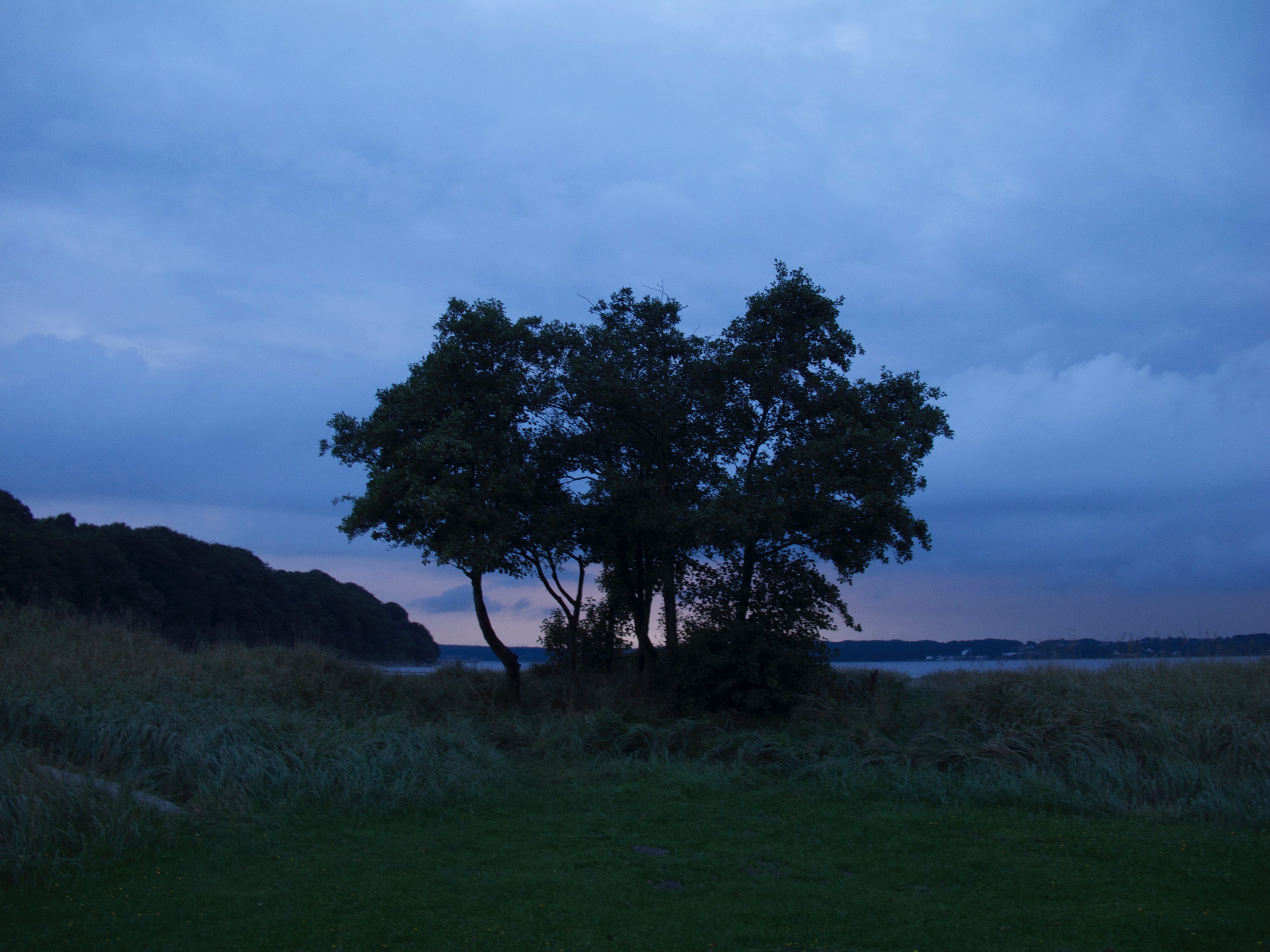
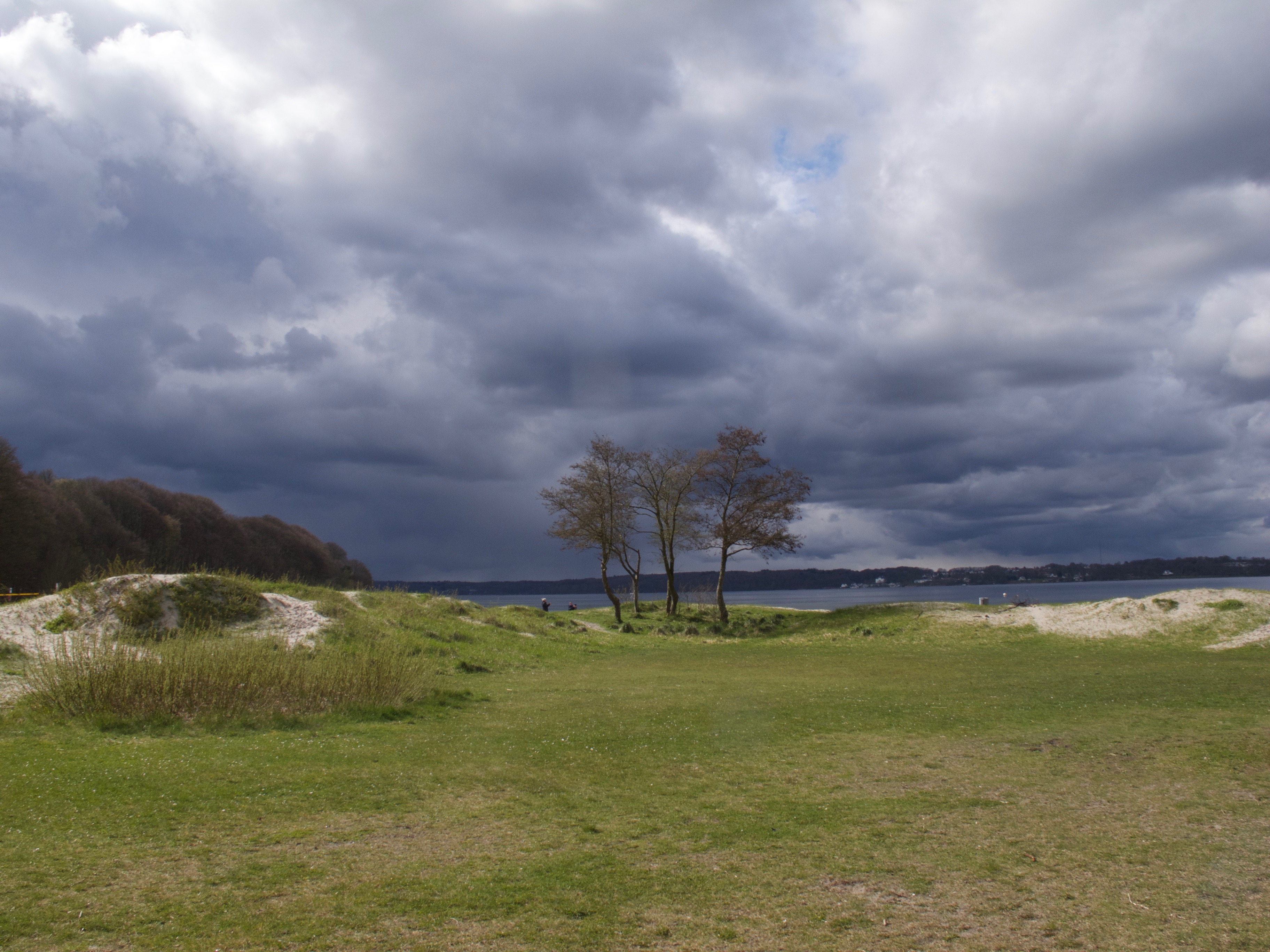
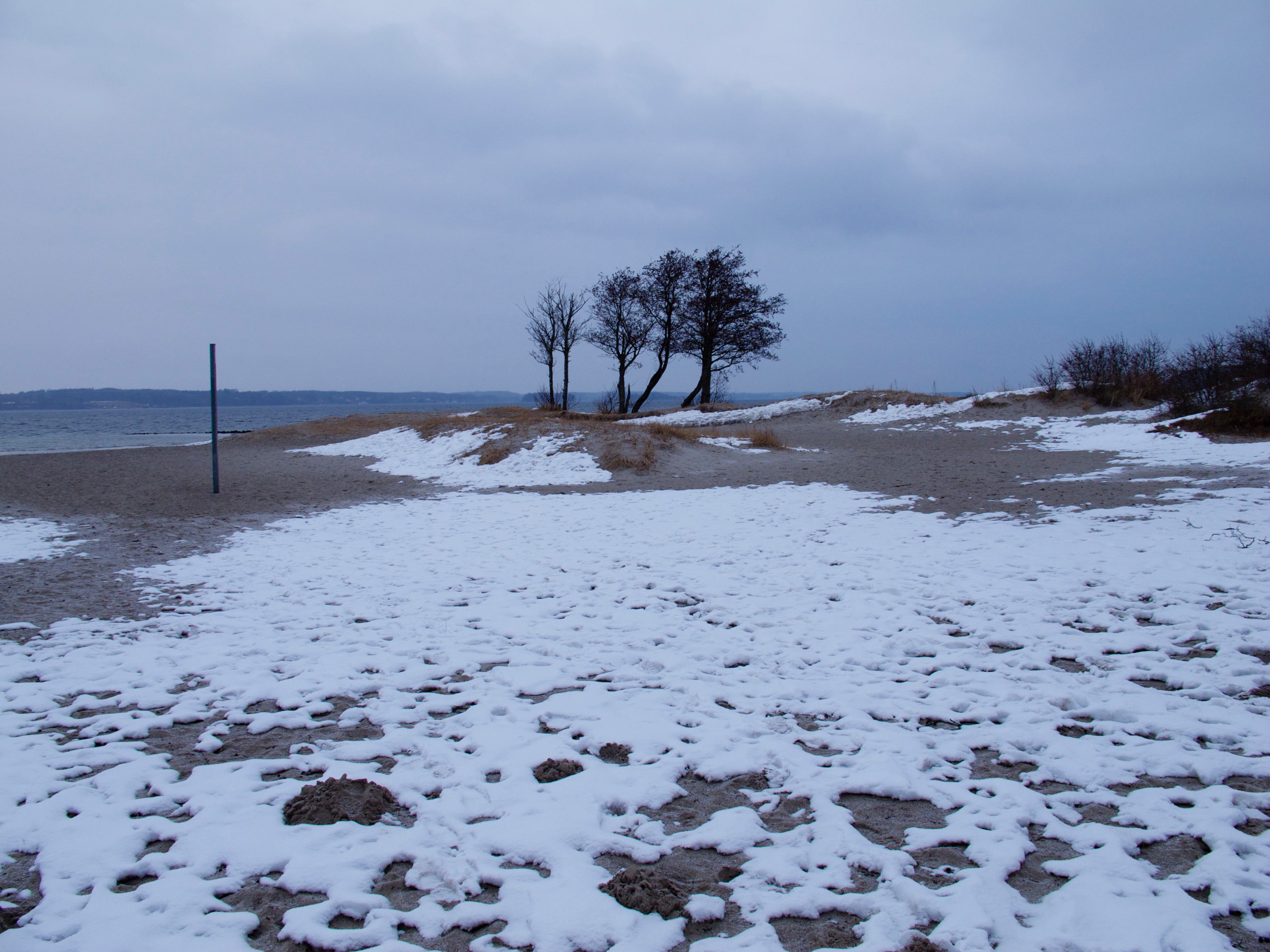
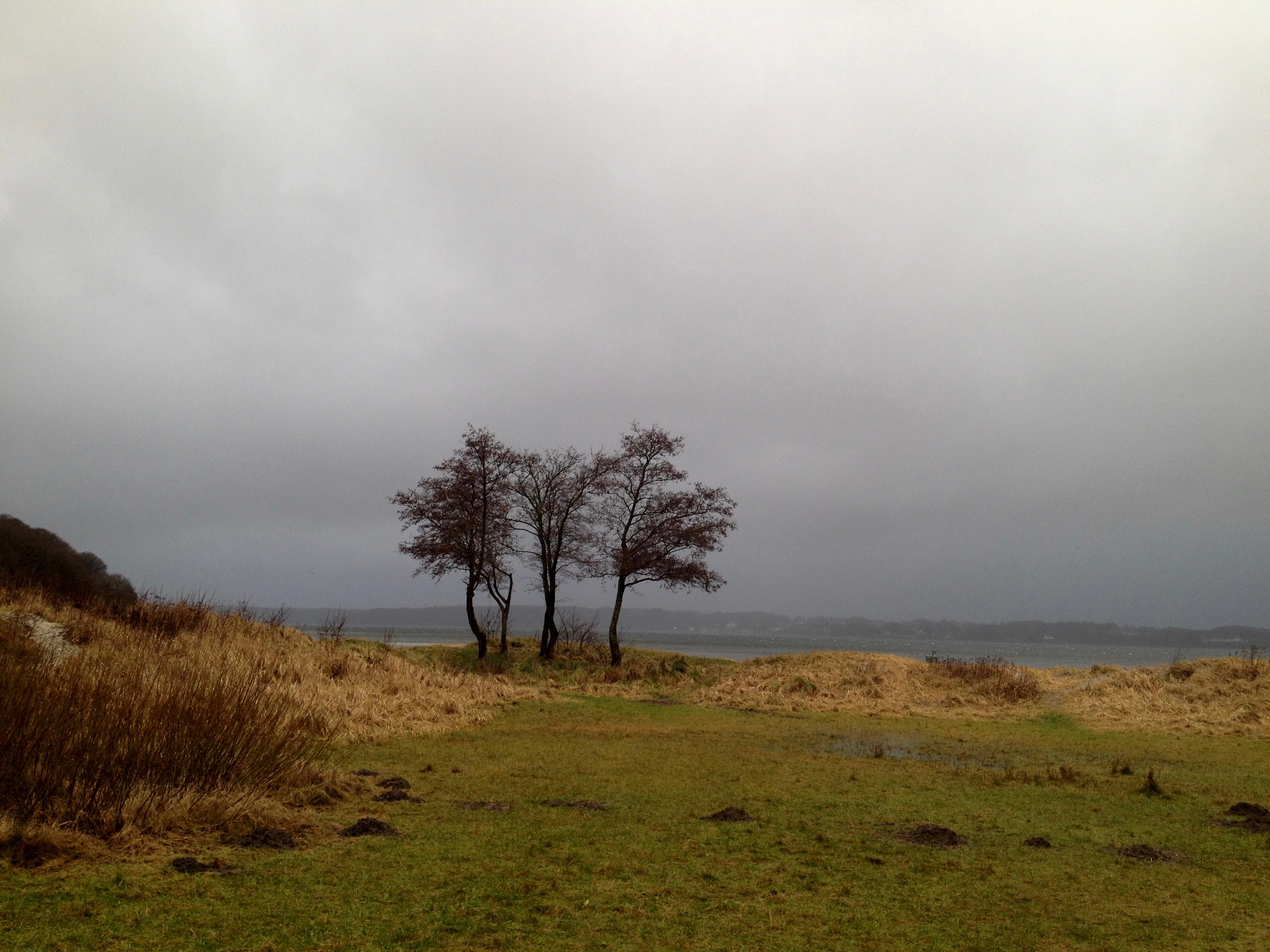
The shore consists of a beach and some meadows. Since I can remember there is a group of trees standing there. They never grew very big. They remind me always of a certain Tarkovsky-Film.
The place is an example of something which had been mentioned before: If you do weather-photography or video it’s always good to have good lookout points in mind, perhaps do an inventory of interesting places in a notebook, with their specific conditions. The Solitüde-Beach in Flensburg is a good example. It is quickly accessible and its a great backdrop. When I was there I always had been watching “great dramas” in the sky. Mostly if the wind is coming in from the North-West, it can be an interesting place.
There is wind most of the time. Weather is often changing quickly here and you have often completely different conditions within a few hours. However, it’s less extreme as on the west side of Germany’s Schleswig-Holstein with the Northern-Sea.
Contrast and color are also different most of the time as on the west-coast but there are many variations in atmospheres. The color of the Fjord’s water also changes all the time.
Even there is no tide on the Baltic-Seaside, water levels are changing too since if there is the wind coming in from the east-side it presses the water into the Fjord. Sometimes there is even flooding in the harbor of Flensburg.
If you do weather-pictures, it is useful to keep a list of landmarks and significant objects like these trees. It adds to the pictures if it’s not only clouds and some meadow and you could do a series over the years. The images with the trees below are an example.


")
")
")


")
