Epic G 5 Geostorm And Northern Lights, May 10, 2024
Peter Engelmann, May 18, 2024
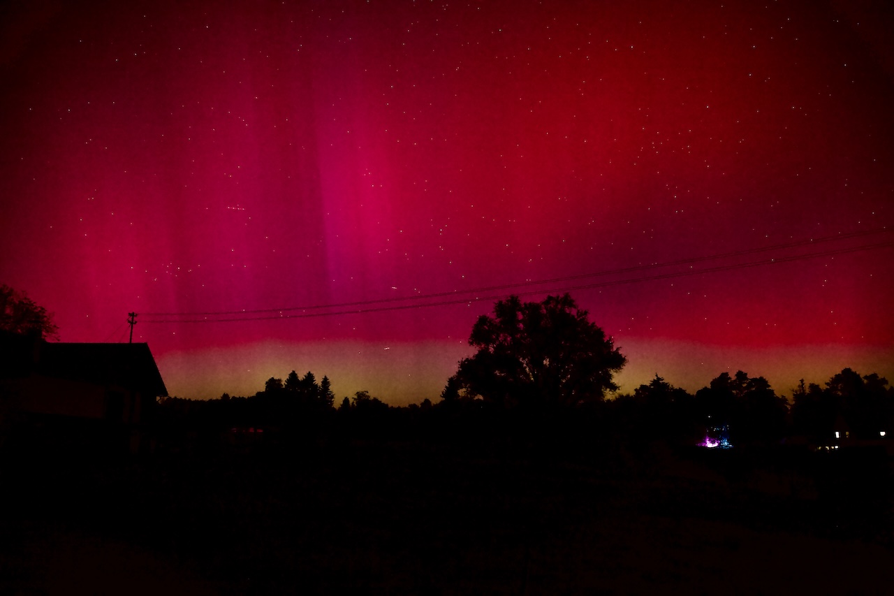
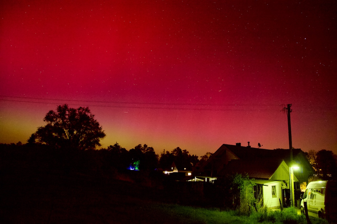
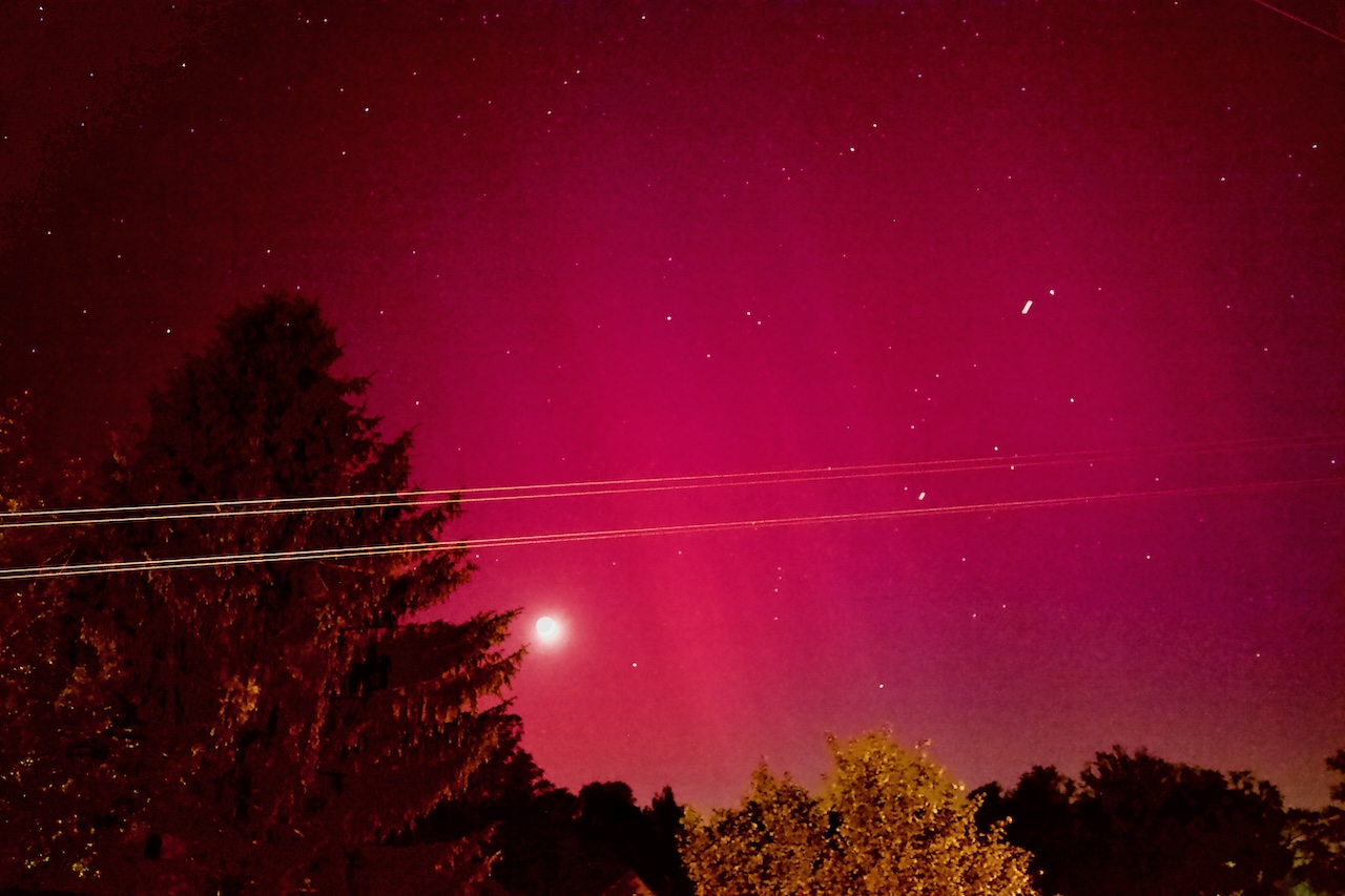
On the evening of Friday, May 10, 2024, a dream for many people came true. Seeing the aurora borealis, the mysterious Northern Lights. An extraordinary solar event made it possible. Northern Lights appeared not only in Northern Latitudes but in many places from San Francisco to Italy to Lviv.
The reason was the most intense solar storm in decades. A barrage of CMES (Coronal Mass Ejections) and Solar Flares launched clouds of charged particles and magnetic fields toward Earth. This led to the strongest solar storm within the last two decades and probably created one of the strongest displays of aurora borealis in the past 500 years according to NASA. https://science.nasa.gov/science-research/heliophysics/how-nasa-tracked-the-most-intense-solar-storm-in-decades/
NASA said this storm was so strong it was only paralleled by famous events in 1958 and 2003. The National Oceanic and Atmospheric Administration’s Space Weather Prediction Center warned about the upcoming storm because solar storms can seriously affect satellites, and power grids and endanger the health of astronauts. However, unlike the Carrington Event (https://en.wikipedia.org/wiki/Carrington_Event), no serious outages or damages were reported.
Therefore this epic geo-storm became an event for enthusiastic nature lovers, scientists, photographers, and filmmakers. Since mobile phones are more light-sensitive they show the aurora borealis better than the naked eye. Furthermore, pictures with mobile phones and posted on social media showed us the broad variety of the ever-changing otherworldly Northern Lights.
There also is scientific value to this. The extraordinary event produced for scientists highly valuable material they will now study for years. NASA is collecting the pictures taken by enthusiasts around the globe for research (https://aurorasaurus.org/).
The storm reached the highest level G5 and happened in the midst of the most activity during the 11-year cycle of the sun. Astronomers have also been following huge sunspots for months now.
How to know if Aurora Borealis is happening?
The extraordinary G5 event triggered the interest of many. People who missed the Northern Lights would love to see them. One way to keep informed is to check the Space Weather Forecast and its Aurora 30-minute forecast ( https://www.swpc.noaa.gov/products/aurora-30-minute-forecast) It might be necessary to do some research to properly understand the page, but there are numerous YT videos about aurora borealis out there. Please don’t compare it too much with the weather forecast. Compared to meteorology space weather forecast is relatively new and there are limited measurement instruments out there. Scientists are still learning. Thus the first thing we need to learn is a lot of patience. I also recommend reading astronomer forums on social media regularly But how do you know an aurora borealis is happening at your place? Is it worth driving or walking in the middle of the night? I can only tell what I did: When I learned about the possibility I checked a photo-webcam side every 10 minutes on my computer. I detected the aurora borealis first on the Zugspitze-Webcam in Bavaria. You might want to watch out for webcams looking towards the North. Because in the Northern Hemisphere, you usually see them in the Northern sky and vice versa in the Southern Hemisphere.

What are the conditions for watching the Northern Lights?
Of course, it has to be dark. Not completely but you need a dark sky. May 10 was great because the moon was there but no half- or full-moon. And you need a mostly clear sky. There are also good opportunities for even very creative and impressive pictures with some clouds or a thunderstorm. But the Northern Lights don’t shine through clouds. Fog or dust doesn’t work. A veiled sky with a strato nimbus cloudscape doesn’t work.
Where to watch the Northern Lights?
People make expensive trips to Norway to watch the Northern Skies. This is not the issue here. What can you do to see the Northern Skies if they appear in your place? First of all: find a dark place. These mobile phone pictures let the Northern Lights appear brighter as they are. Nearly everyone uses long exposure times. But it is a great experience to see them with the naked eye in the first place. It is possible to see the Northern Lights in big cities, I saw the first time a red Northern Light in the middle of Berlin in 2000. But as darker as better. A field, a mountain, or a coastline is great (it is not necessary to get to a higher elevation, but of course, conditions are often better because the air is cleaner with less dust). If you go out to the countryside a flashlight is important. Astronomers often use a red filter in front of the light, because the eyes need to adapt to darkness to see better and red light is less disturbing. Take your time to adapt to the situation. The other thing really important is a free horizon, particularly a free Northern horizon. If you have a lake nearby – perfect! Go to the south end of the lake and look to the north.
How to photograph the Northern Lights?
There are countless tutorials out there and if you are fine with the quality of mobile phone pictures it’s quite easy. Of course, a tripod or a stable position is an important prerequisite.
I don’t have a manual or guidelines, but the most important question is knowing what you want. Do you want realistic pictures or a more artistic, impressive, maybe even psychedelic impression? Do you want just to have the Northern Lights in the frame or an interesting foreground, a special composition? The possibilities are endless.
If you head for better quality a bigger camera is good to have. In an ideal case use a fast lens. I used aperture 2,8 to 4. Of course ramp ISO up but it’s not necessary to max it out. The Northern Lights are often strong enough and you can avoid unnecessary noise. I heard exposure times of 20-20” seconds are recommended. I did shorter (at the cost of having some noise in my image) but it depends. Remember that if you do exposure times longer than 30 seconds the stars or the moon become stripes due to Earth’s rotation. I did shorter.
What’s important is to be aware of Focus: Auto Focus in some cameras doesn’t work properly in darkness! I set the focal length close to infinite, after some unsharp pictures.
One really important setting is to shoot in RAW if possible:
There is an interesting thing about Northern Lights: White Balance. Some people say around 4000 K but I found that the Aurora Borealis is a unique light source. If you shoot in RAW you can play with White Balance, Hue, and Saturation in post-production and get the best results. I encourage you to do this and unlock the full potential of pictures.
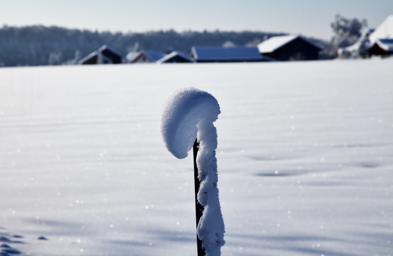
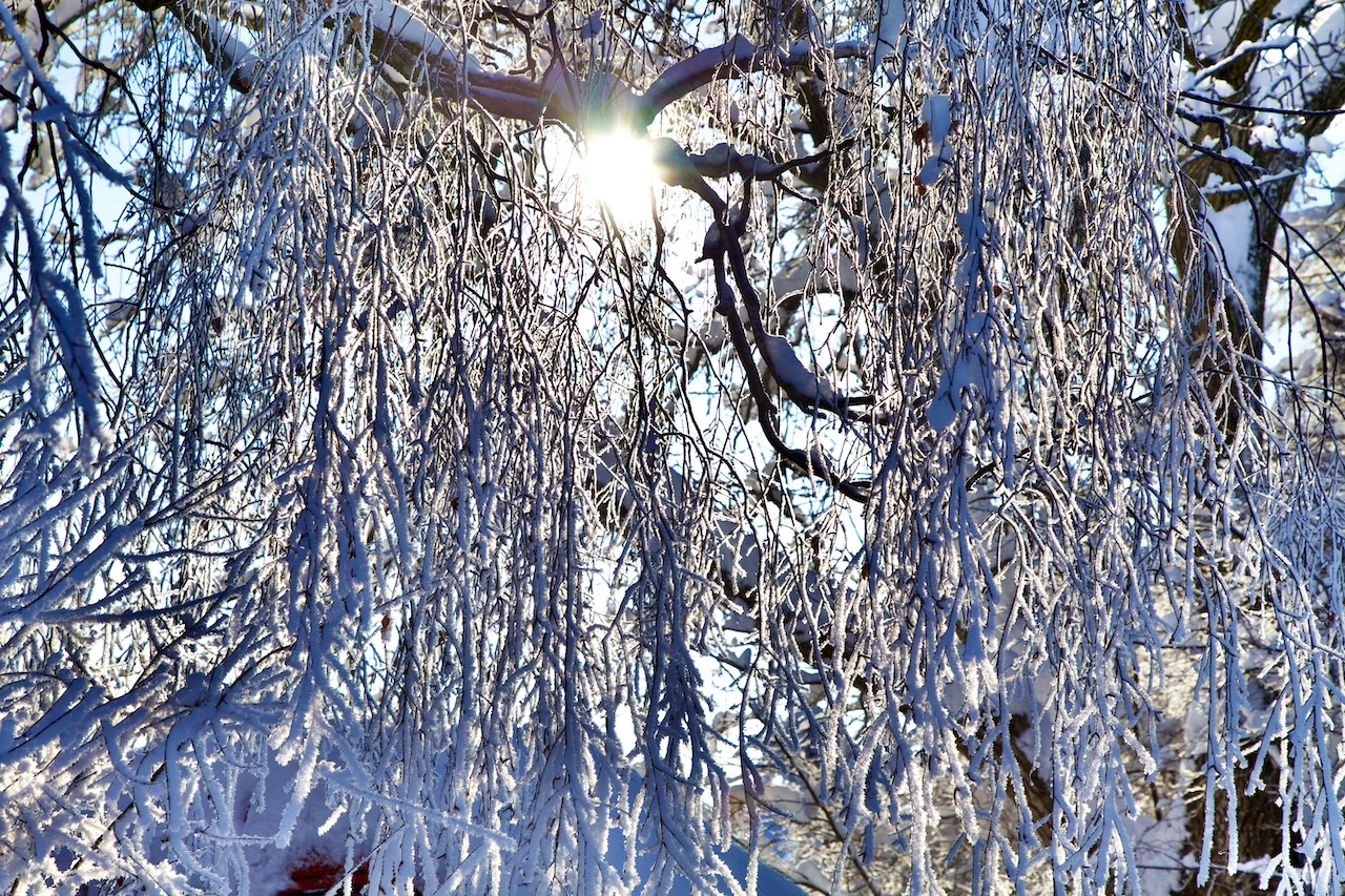
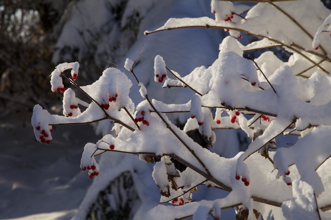
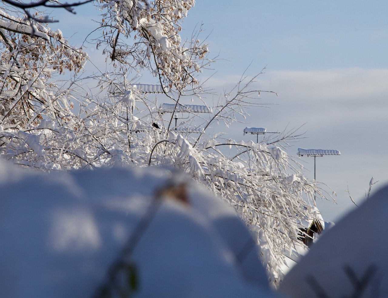
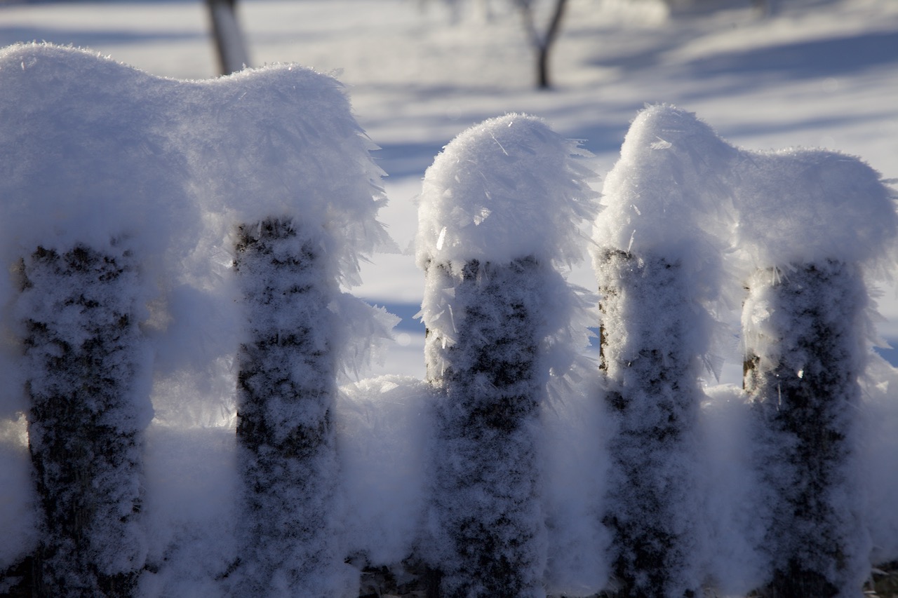
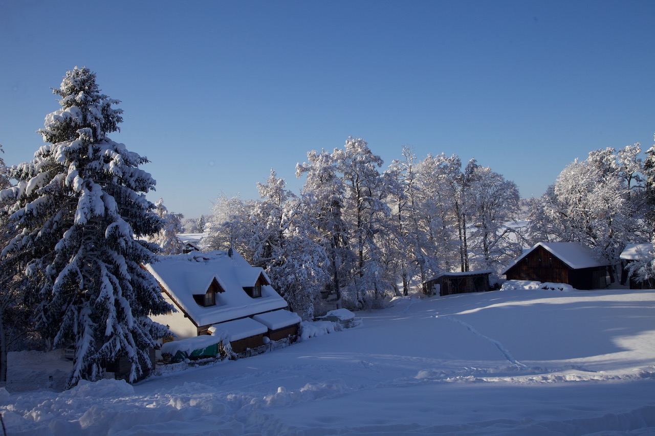
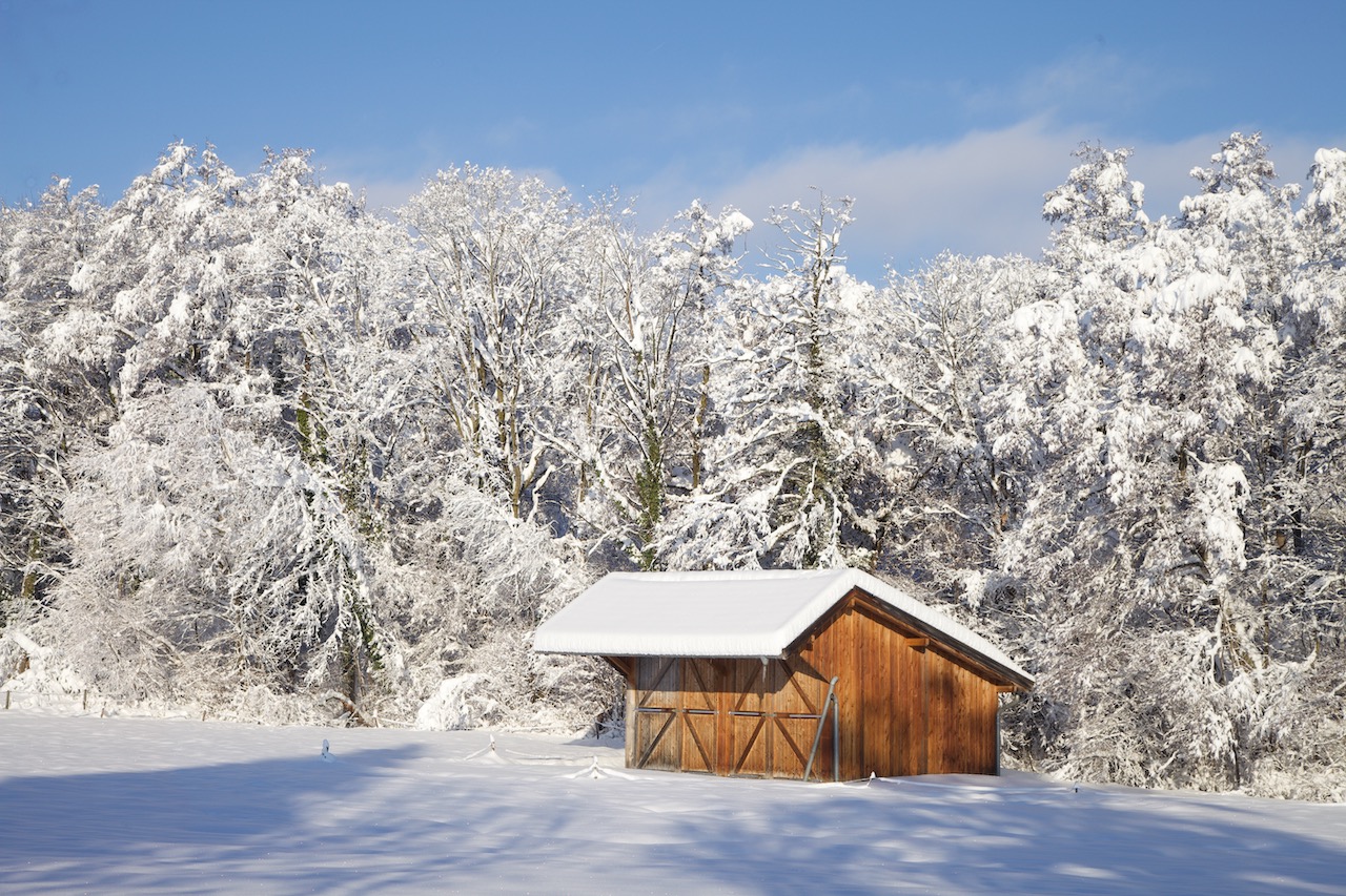
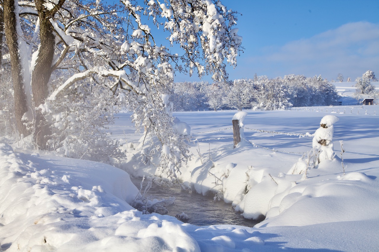
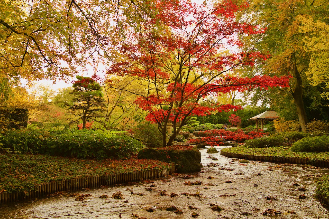
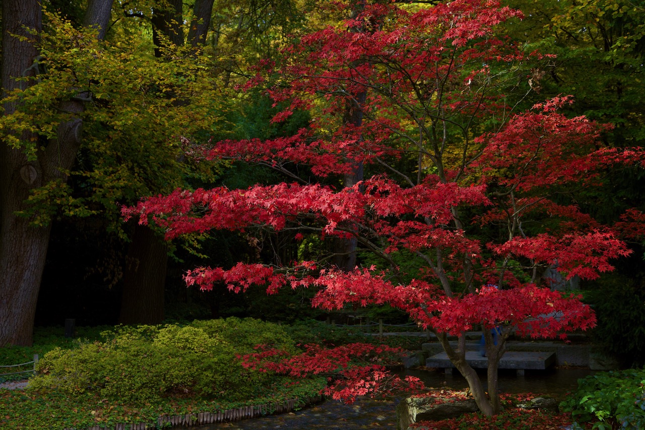
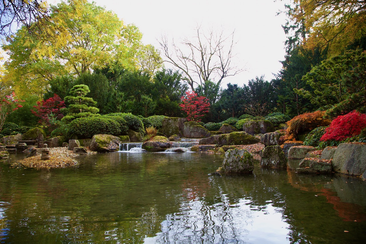
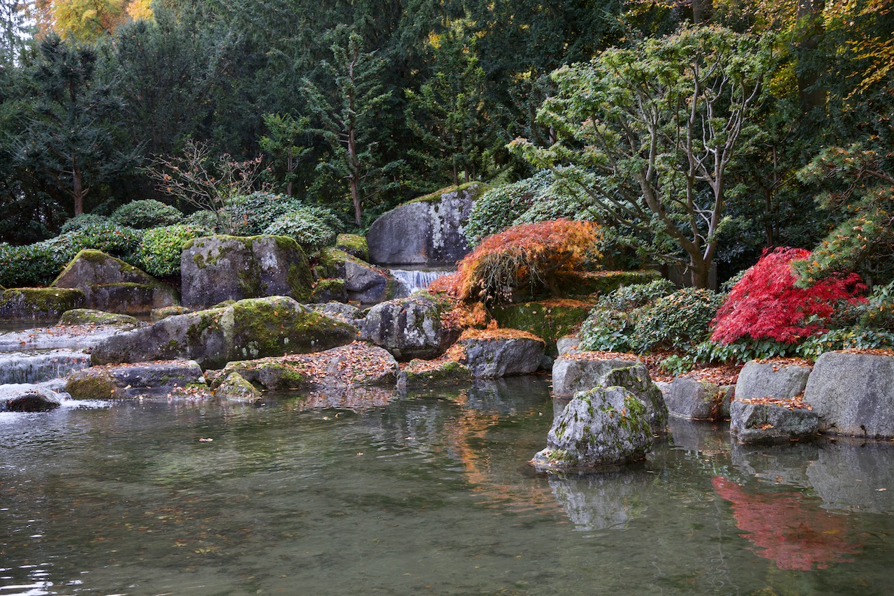
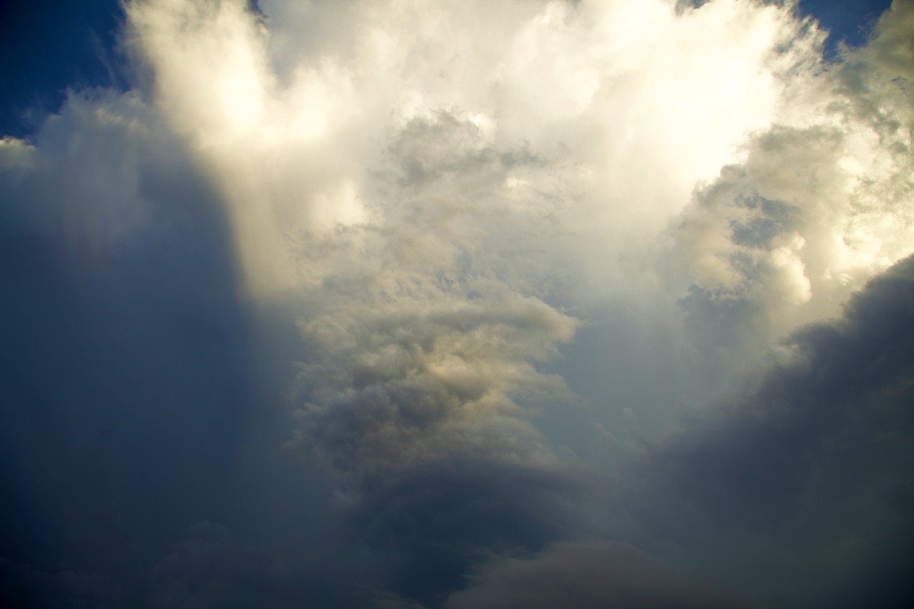
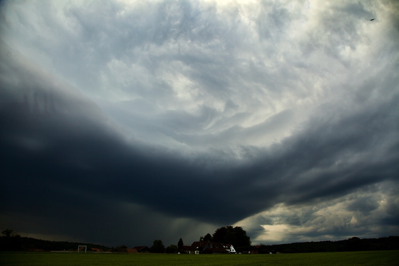
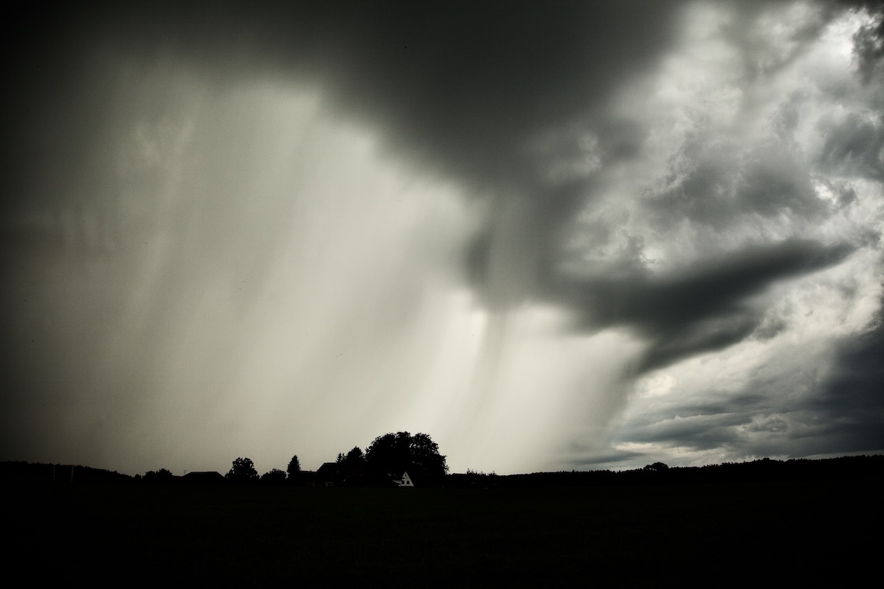
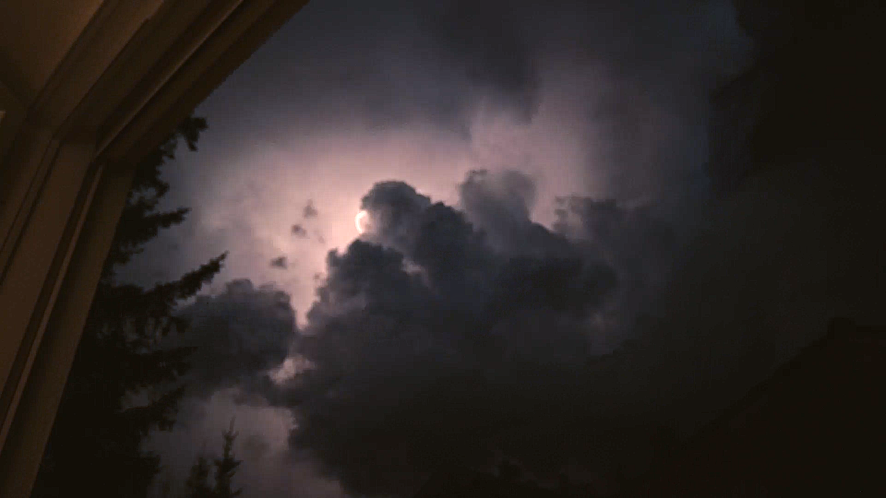
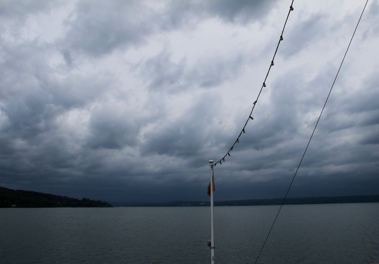
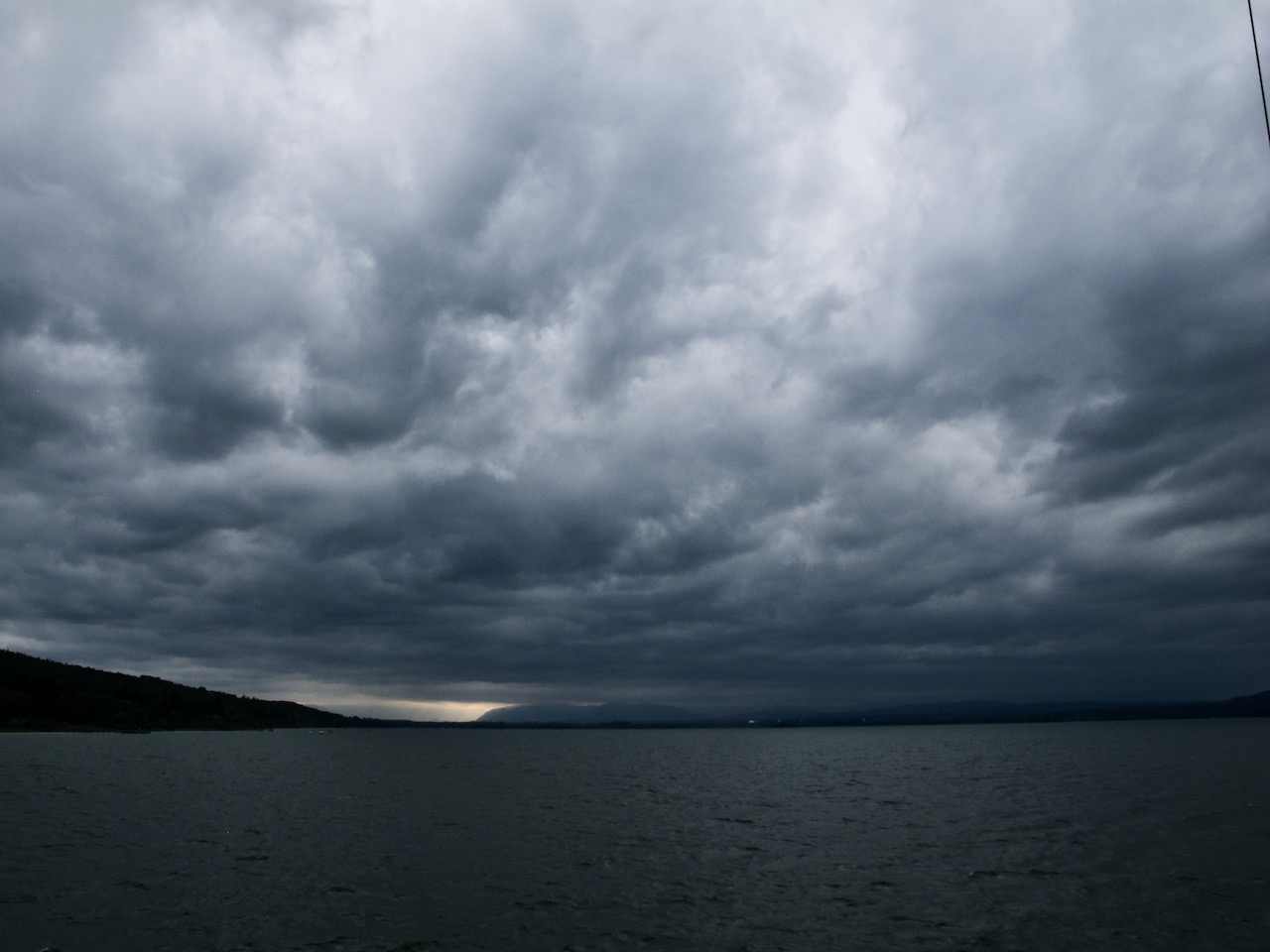
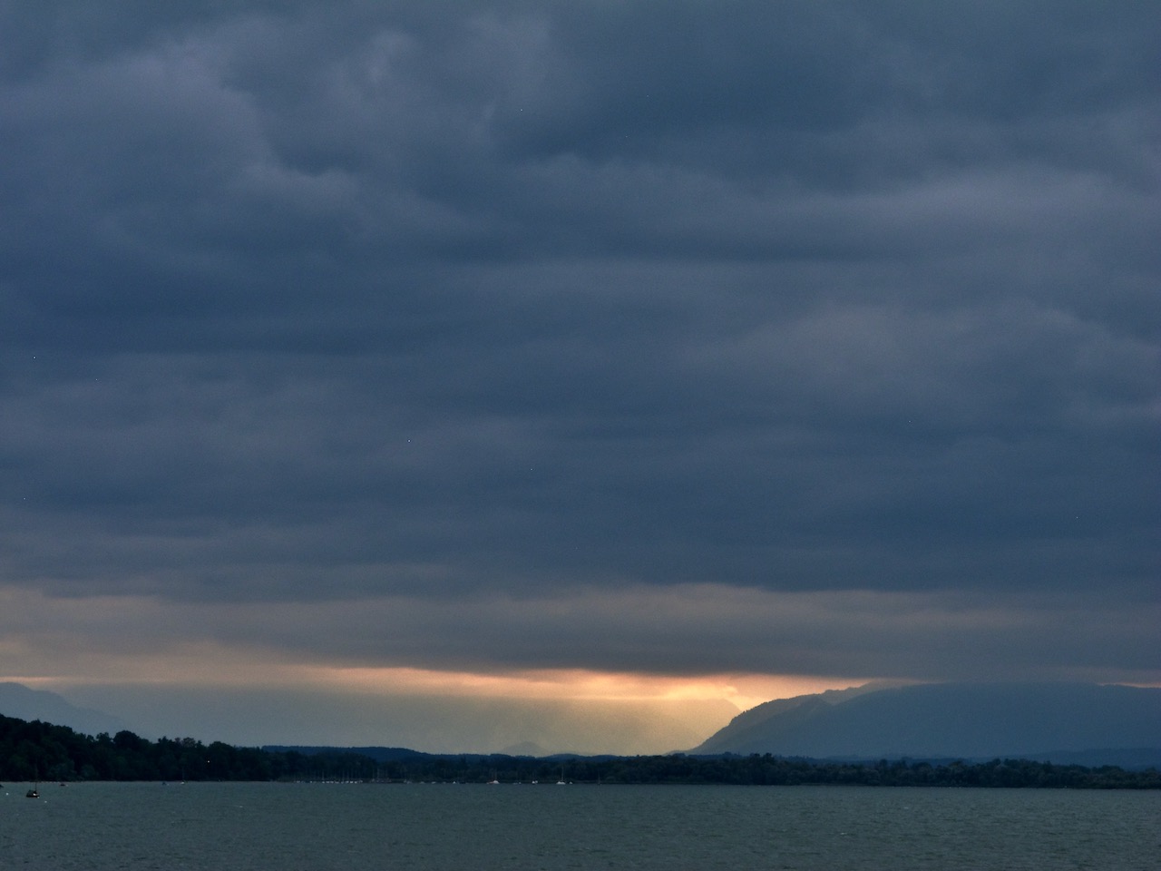
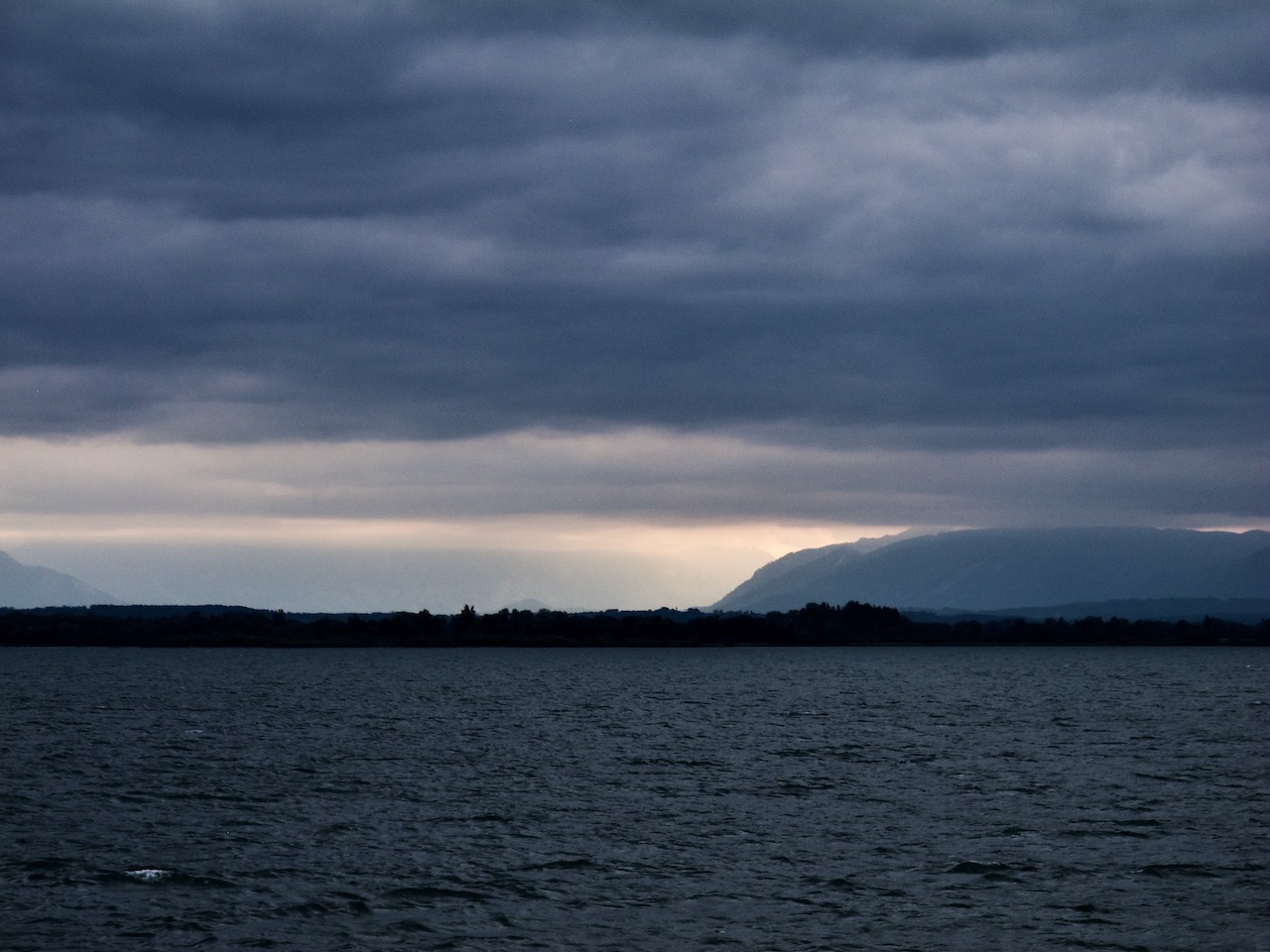
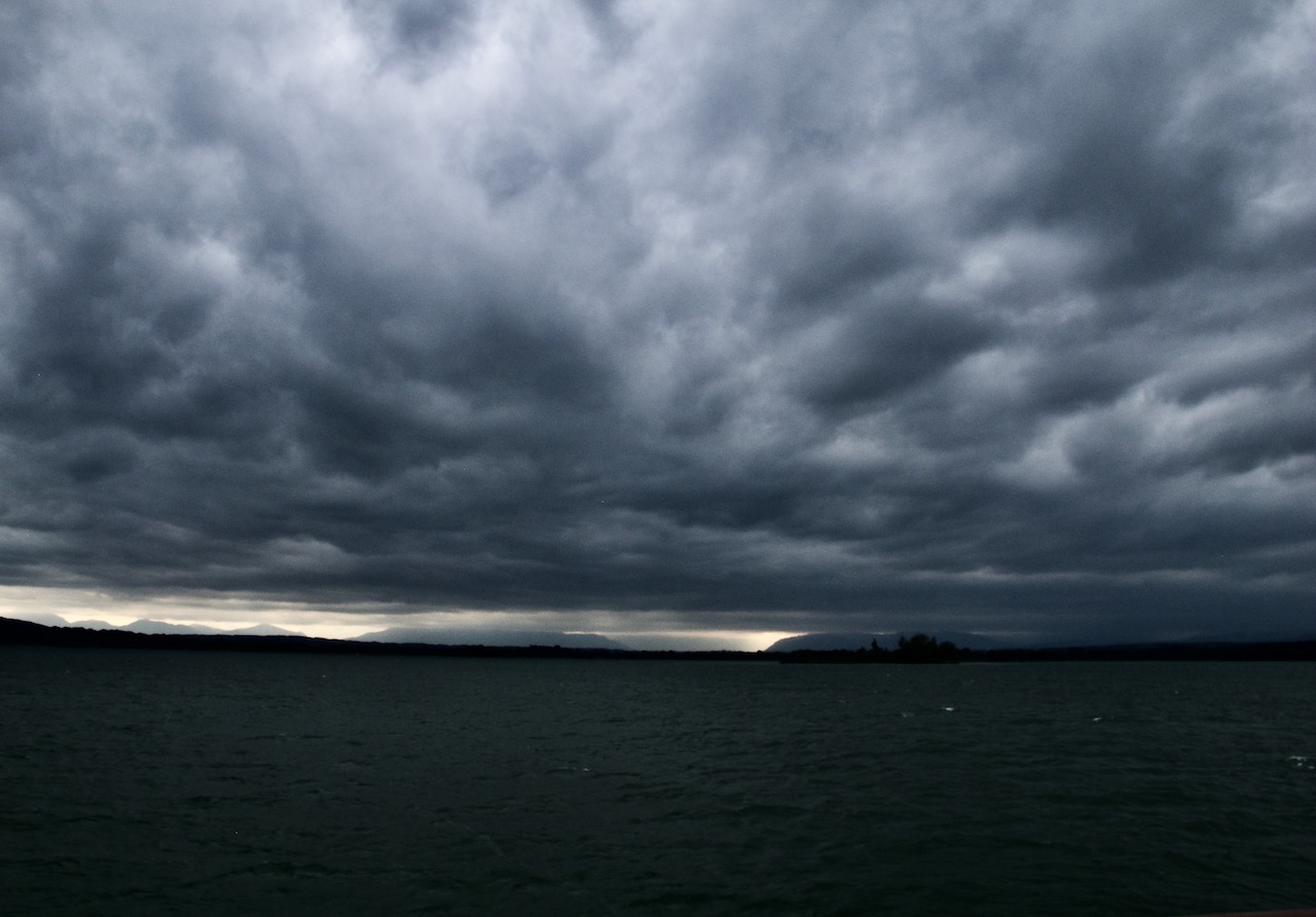
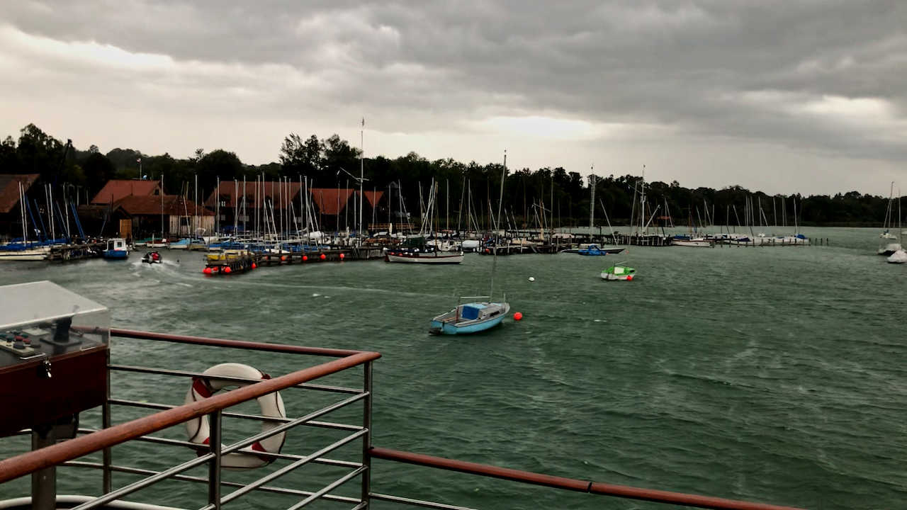
One last tip: As the Aurora Borealis often appears fast and is constantly changing preparation of the right settings is good and do as many pictures as you can. There is a lot of variety here. The slide show shows different facets of the May 10 storm: