CLEAR AUTUMN SKY AND A KITE FESTIVAL IN STÖLLN, BRANDENBURG, GERMANY (VIDEO)

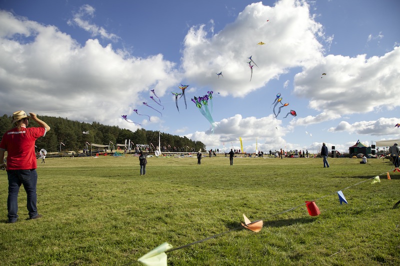
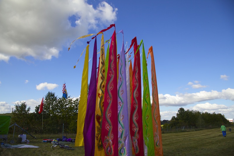
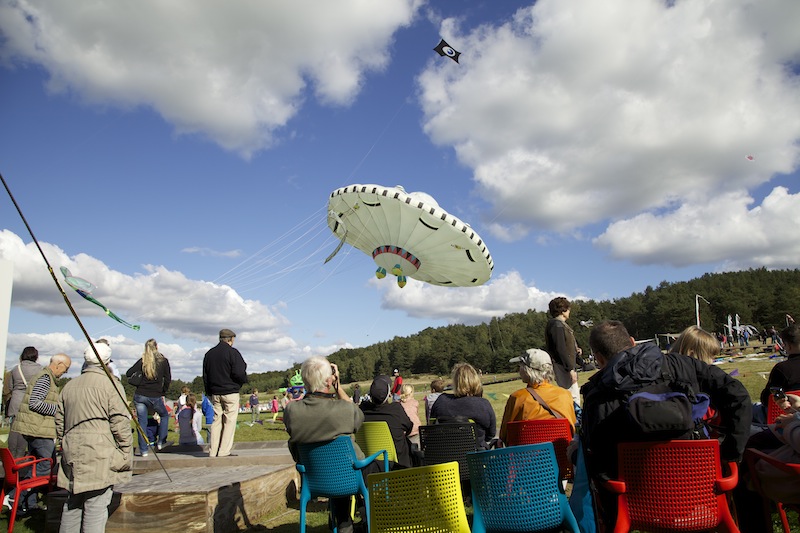
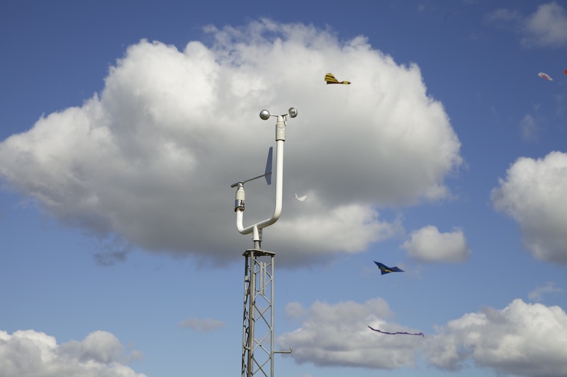
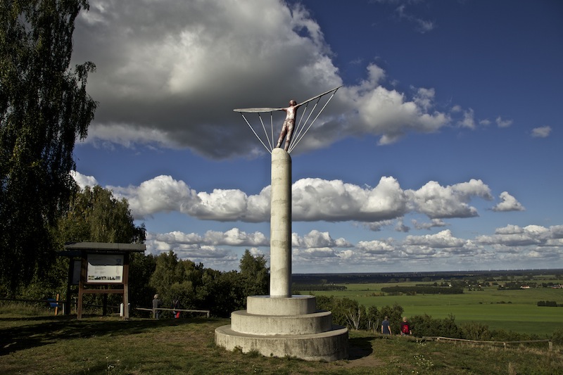
End of September is a good time for kites. Sunday, September 27, was a day with a clear blue autumn sky and some wind. Compared to the heat-wave in Summer September and October was cold in Middle-Europe. It was also not much rain. The drought which lasts now for months became a problem for some farmers. “Kite-Pilots” and families however certainly enjoyed the weather and gathered in Stölln, which is west of Berlin for a kite-festival. Artists came from everywhere, even from Tasmania. The “Gollenberg”, a hill in the “Westhavelland”, has also a very special history. Pioneer Otto Lilienthal made his first experiments with his gliders here. Unfortunately he also had a deadly accident on the Gollenberg. Today, the Gollenberg is an air glider airfield and was host of the German Gardening Exhibition BUGA in 2015. Foremost its an excellent viewpoint. Visitors can look really far. The clear autumn air allowed to enjoy the panorama. There is also a traditional weather-station on the “Gollenberg”. West of the “Gollenberg” are the rivers Havel and Elbe. From this little hill the typical lowland of the North of Germany could be studied. Its interesting that standing on the Gollenberg does indeed feel a bit like standing on a mountain, even its a small hill. But the thing that the whole surroundings are very flat, like in the Netherlands and therefore looking down from the Gollenberg appears maybe higher than the hill actually is. On top of hill is a memorial for Otto Lilienthal, which is a 20 minutes foot walk from the airfield. There is also very interesting vegetation on this hill. Unlike the surrounding meadows and wetlands close to the river Havel, the hill is a sandy hill with dry meadows. The impression is a bit like standing on one of the dunes at the Northern Sea. In the Westhavelland is also the first dark sky park of Germany due to its excellent conditions for astronomers. In the village of Stölln there is a Otto-Lilienthal-Museum telling his life-story. Video shows some coverage of the day of the kite-festival and the scenic view from the top of the Gollenberg hill.
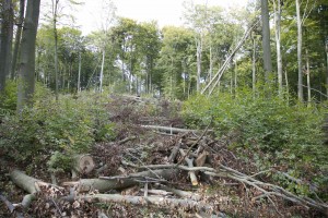
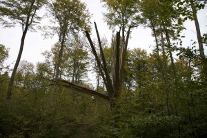
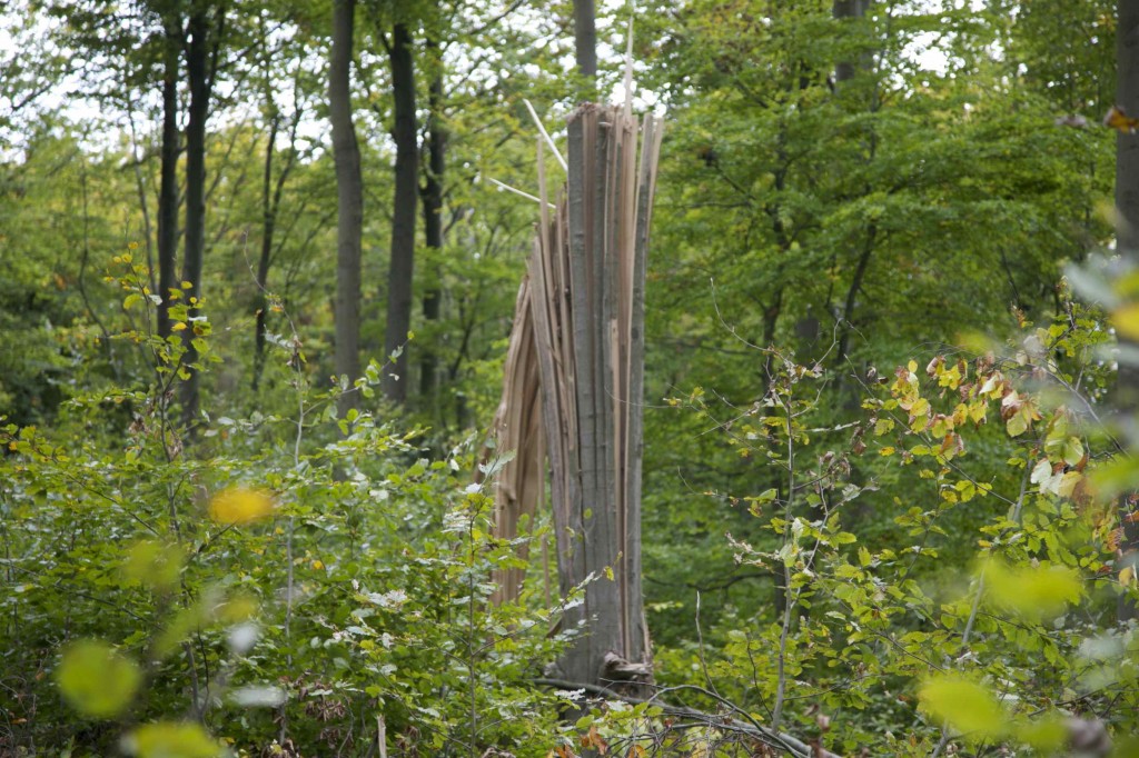
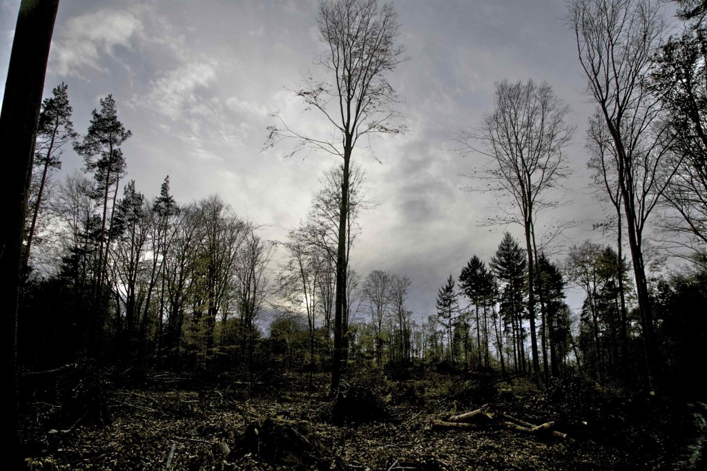
Aftermath of a severe storm in Chorin-Forest, Brandenburg / Extreme Sturmfolgen in einem Wald bei Chorin

The severe thunderstorm which was reported in the post from August 20 left an incredible path of destruction near the Chorin cloister in Brandenburg. The pathway, which is used often by hikers and which leads to the village Brodowin was closed for some time.  The amazing thing is that the Chorin forest is a very natural forest with many old trees and there were no signs of weakness before. There must have been tremendous forces at work on August 20, 2012. The images show how serious we should take severe storm warnings:   Ein extremes Gewitter nördlich von Berlin, über das im post vom 20. August berichtet wurde, hat in einem Wald in der Nähe des Kloster Chorin, 80 km nordöstlich von Berlin, unglaubliche Schäden hinterlassen. Der beliebte Wanderweg musste geschlossen werden. Das Überraschende an diesen Zerstörungen ist, dass hier ein sehr natürlicher Wald mit alten Bäumen, die keine erkennbaren Schwächen hatten,  derart zerstört wurde. Es müssen unglaubliche Kräfte an diesem 20. August am Werk gewesen sein. Die Bilder dokumentieren, wie ernst wir Sturmwarnungen nehmen sollten.     Trees intermingled, a whole forest turned upside down: What kind of force could have done this? August 19, 2012 was already one of the hottest days of the year in the Berlin-Brandenburg area and in Germany. Monday got even hotter and air was increasingly humid. Showers and thunderstorms were predicted by weather forecasters for monday evening. “Xenia” a depression over middle Europe transported the warm, humid air. The severe storm around Chorin and Eberswalde however began already in the afternoon. The whole capacity of the firebrigade in the area was needed and had to repair a lot of damage with special equipment. However the extreme destruction as seen in the Chorin Forest was restricted to a small path. Experts suspect that a tornado did these damages.     Ineinander gewickelte Bäume, ein Anblick, der Fragen lässt, was für eine Kraft hier am Werk war: das Chaos machte den Wald zu einem gefährlichen Platz. Bereits der 19. August war in Berlin Brandenburg einer der heißesten Tage ebenso wie in Deutschland. Hitze und Freuchtigkeit steigerten sich noch am Montag. Schauer und Gewitter waren für den Abend vorhergesagt. Tief Xenia über Mitteleuropa schaufelte die feuchte und heiße Luft in diese Breiten.  Das Unwetter über Chorin und Eberswalde nahm jedoch bereits am Nachmittag seinen Anfang. Die gesamten verfügbaren Kräfte der Feuerwehren waren mit speziellen Gerät an diesem Tag im Einsatz um die zahlreichen Unwetterschäden zu beseitigen. Jedoch war die extreme Zerstörung im Choriner Wald in  einem scharf begrenzten Raum geschehen. Experten vermuten einen Tornado. There were reports from a village near the Werbellinsee, Althüttendorf, about severe storm damage which support the theory of a tornado. Mostly the real apocalyptic impressions and the way trees were knocked down gives the theory of a tornado some credibility. Furthermore it is interesting that the most damage occurred on top of the hills near the cloister, which is called the “Choriner Endmoränenbogen” due to its origin from the ice-age. Obviously any kind of structure on the ground could influence developments in the lower atmosphere.


Aus Althüttendorf, einem Dorf in der Nähe des bekannten Werbellinsees sind von diesem Tag Sturmschäden gemeldet worden, die die Theorie eines Tornados stützen. Hauptsächlich sind es aber die geradezu apokalyptischen Eindrücke und die Art und Weise wie die Bäume zu Boden gedrückt wurden, die auf einen Tornado hindeuten. Darüber hinaus ist es interessant, dass die meisten Schäden auf der Anhöhe des Choriner Endmoränenbogens in der Nähe des Klosters zu sehen sind, einer in der letzten Eiszeit entstandenen Erhebung. Offenbar wirkt sich jede Art von strukturiertem Untergrund auf das Geschehen in der unteren Atmosphäre aus.