Dangerous Storm – Berlin And Brandenburg, Germany, March 17, 2017

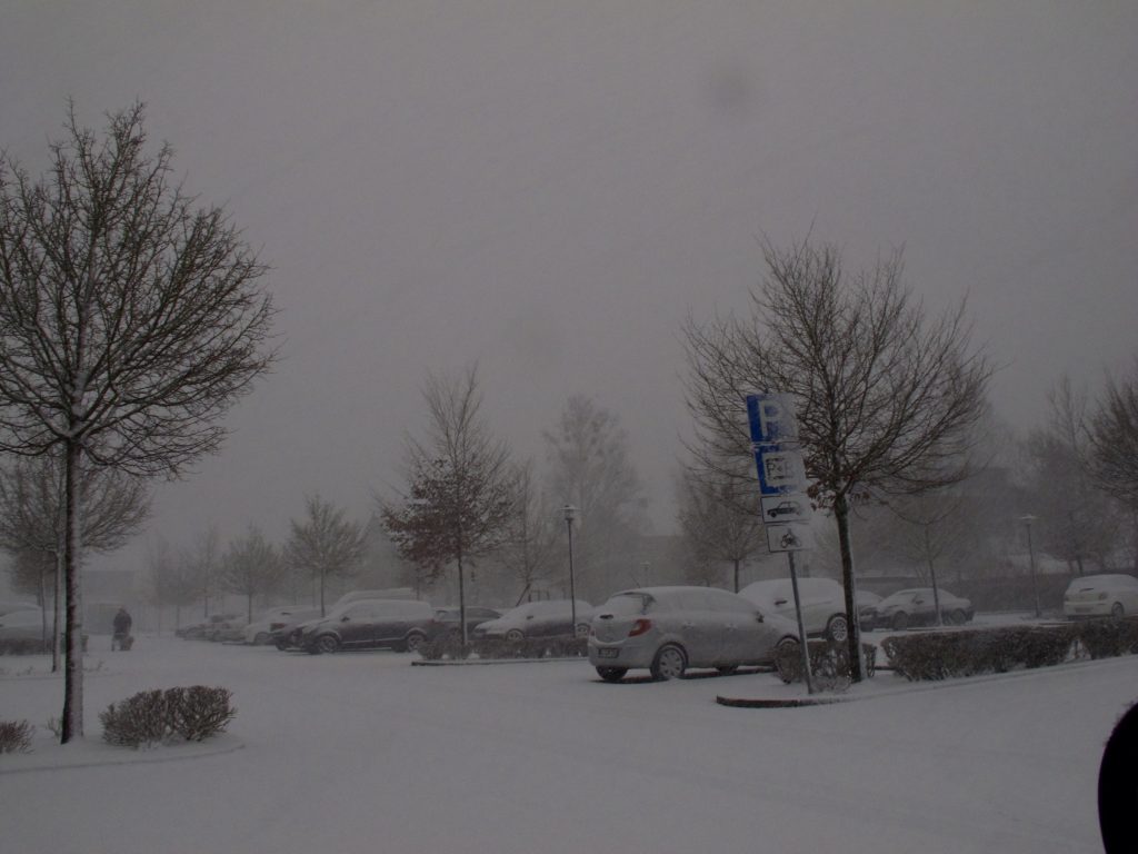
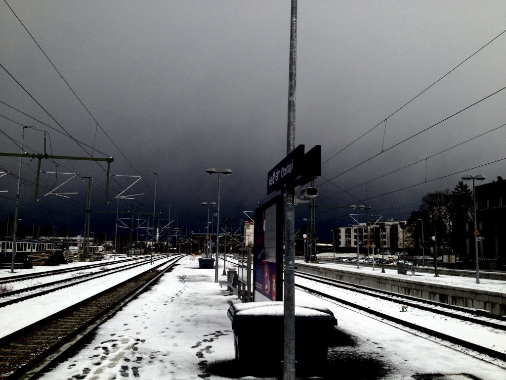
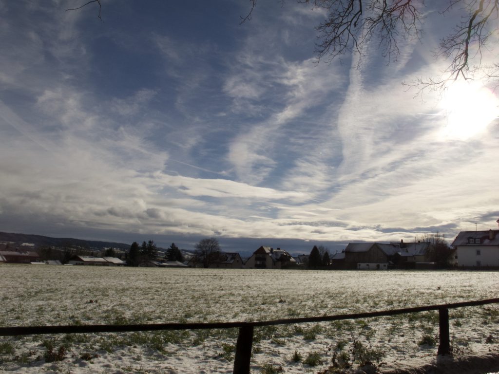
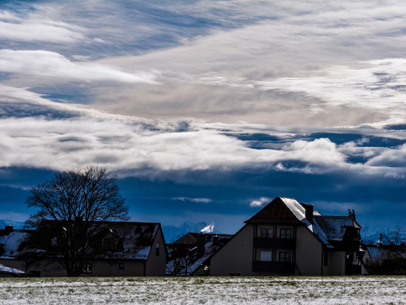
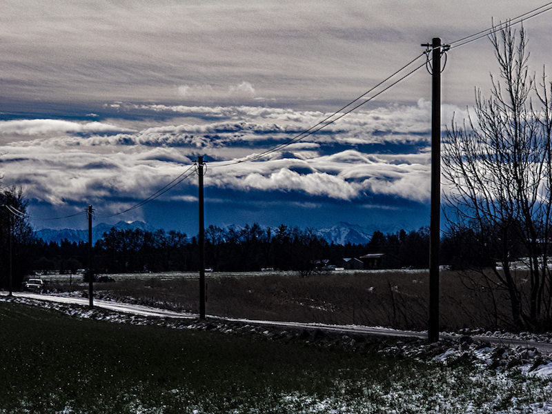
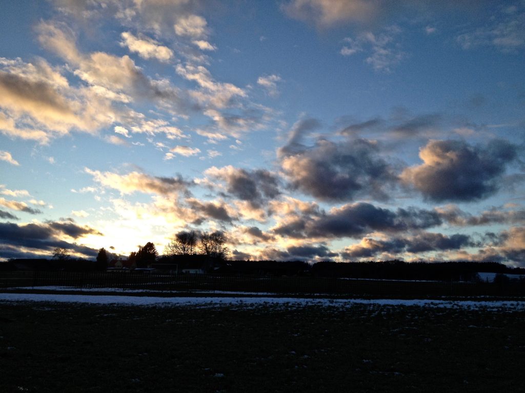
On Saturday, March 18, an unexpected storm hit the capital Berlin and Brandenburg. The wind freshed up after noon and lasted till afternoon. A wind gust with 100 km/h was registered. The Fire starters got over 300 calls. Damage in the city was limited but in the surrounding Brandenburg the storm caused a tragic event when one person was killed in a car which was hit by a fallen tree. In Potsdam an advertising sign was flying around and did hurt three people.   The storm called “Eckhard” emerged on the southern side of another storm system in Northern Europe. It proved that storms are still difficult to predict. In this case the storm warning occured not before the storm had already hit. But most of the time the weather service warns one or two days before  a storm does happen. Storms often occur in weather-models a couple of days before. Nevertheless the challenge is to exactly predict the path of a coming storm. Furthermore the strength of a storm could differ from the estimated strength. And – as in the case of Eckhard – there are surprises. Storms are a very typical weather pattern in February/March in Middle/Northern Europe. It is the time between winter and spring and there are big differences between cold air in the North and warm air in the South. Some storms during this time could be really destructive and can destroy whole forests. In this case the storm ripped off branches of trees (picture above) and felled trees. The S-Bahn in Berlin was interrupted for hours. Storms with a maximum of 9 or 10 Beaufort also create bigger waves on the havel-lakes like lake Wannsee on the westside of Berlin. These winds are also a problem for sailors or row-boats because the waves are unpredictable. In the late afternoon of Saturday typcial storm clouds could be seen. In the evening the sky was clear again. The next day it rained and it became significantly warmer. March was so far too warm in many areas, even there was still snow in the mountains and skiing was possible.      

Mist On A Lake – November 9, 2016

November is often seen as boring month (for photographers) due to a lot of grey and dull days. Daylight is also very limited. However this time of the year is often underestimated. There are wonderful plays of colors and many different moods with colored leaves, intense sunsets and fascinating meteorological phenomena. The lower light can also create very interesting effects. Unlike summer layer clouds often fill the sky. This could be very interesting for pictures when the sun is very low and the clouds are illuminated from beneath. After a very cold October and early winter days in Upper Bavaria there was a dramatic sunrise on 9th of November, 2016 in the “Ammersee Region”, a popular tourist destination during the summertime. However there is a lot to see at any season due to a spectacular and many-faceted landscape. Not far from the alps this is a lovely countryside with lakes, bogs, forests and hills which were formed during the last ice-age. At the southern end of the second-biggest lake of the region, the “Ammersee”, the river Ammer enters the lake. The south-end of the “Ammersee” is an important nature reserve. Many different birds could be found here. There is a huge marshland and a peninsular called “Schwedeninsel”, which demonstrate the constant change of a landscape formed by rivers from the alps.

In the surroundings of the “Schwedeninsel” wet fog appeared before sunrise during this days and was illuminated in different colors later. It was a very impressing experience, and the wet fog created a truly magical atmosphere. Temperatures were below zero during the night. In November sometimes the water is still warm compared to the cold air. These are the conditions for such weather phenomena during autumn like mist on a lake. Often the mist disappears later when the sun warms the atmospheres. Thus it is important for photo- and videography to stand up very early. The lakeside promenade in Diessen on the southwest side of the lake was a very good place to watch or to make some photos. Further on there is a watchtower at the south end which could be reached by foot. Diessen and the southern and west region of the lake is easily accessible: During summer the tourists arrive with an extravagantly restored steam paddler. For the rest of the year there is a train station nearby with trains arriving every hour from the city of Augsburg. The motorway is a 20-minutes drive away. On the other side of the lake there are bigger hills. On top of one hill of the east-side of the Ammersee is the famous “Andechs”-Monastery. Hills and lake have also an effect on the microclimate in the region. It’s possible that there is snow in the upper regions of the hills but it’s always a bit warmer when you get closer to the lake. Mist or fog mostly appears when there is very little wind. The 9th of November was a short window after low pressure from the west brought rain and snow and before the next active front appeared. Often it’s the short time when weather calms down to experience such spectacular settings.

BURNING SKIES – Oct 3, 2016

October 3, a public holiday in Germany, ended in the Havelland, west of Berlin, with a spectacular afterglow. After a long period of unusual warm and dry days in August and September in Middle Europe, which led to a drought, the first showers occurred on Oct 2, 2016 in the capital region. Temperatures fell and it became more autumn-like. The red evening sky also proved a popular folk saying wrong in this special case.

The folk saying about afterglow in the evening is that a red sky in the evening means good weather and a red morning sky means bad weather coming. This is true – most of the time. The meteorological reason is that wind in Europe is mostly a west-wind. With the wind the clouds and the rain come from the Atlantic, moving from the west to east. If the sky clears in the west and we see the beams of the sun reflected in clouds it could mean that the weather will improve the next day. However in the first October days the conditions were reversed and the next day temperatures dropped further. It was still a clear sky in the west but due to an Eastern wind the clouds were coming in from North-East.

It was cloudy and there was more rain on Oct 4 and Oct 5. This was a good thing for nature, which needed the rain urgently. It was so dry that very little mush-rooms could be found in September.

However on October 5 a flood warning for the Baltic Sea coast was issued. A strong wind was coming from the North-East.

Weather always has to offer a lot for video- and photographers. And even if autumn sunsets are a very popular motive every sunset is special in its own way. You only need to know about a good place with a big sky. Brandenburg is a country with endless horizons and perfect for these kind of motives. One good place with an interesting silhouette is the little town Werder An Der Havel, which is partly situated on an island.

The photos were taken with a Canon 5D Mark II. A tripod is very helpful for sunset-photography because even you see a spectacular sky there are already low lighting conditions. A typical problem of sunset photography is the strong contrast. Therefore its good to do some shots with different apertures and see what works best.


SHEET LIGHTNING: VIDEO BERLIN, AUGUST 28, 2016

Summer 2016 in Middle Europe: another year with new temperature records. August 28 was an extremely hot day in Berlin with temperatures over 34 C. Already the day before there had been some severe thunderstorms in Western Germany. A cold front was coming in from the west and in the afternoon the German Weather Service issued a warning for severe weather with strong wind gusts, thunderstorms and hail for Berlin and Brandenburg. However following nowcasts as provided by from some webpages showed that weather was very unpredictable that Sunday in Eastern Germany. It looked a couple of times as there were stronger thunderstorms taking course towards the East, then they lost their energy but in the evening some stronger storms appeared suddenly. Before the front arrived in Berlin the air became really hot and humid. It was sticky and the sky became overcast. In the south of Brandenburg there was already a strong thunderstorm. It was the typical scenario when you expect the worst. You could feel the tension.

Nevertheless there wasn’t a strong hit in Berlin, but a visually impressing storm system in the East of the City which generated sheet-lightning in the West. It was already nearly dark when that storm approached. Later, in the west side of the city there was only rainfall for some minutes. In other parts of Germany there were serious damages due to the collision between warm and cold air. There was a rotating supercell causing flooding in Hamburg and another storm did damage for example in Stendal. Lightning stopped trains in Hannover. The next day temperatures had dropped dramatically. In some places there was a temperature fall of 15 degrees. It was a release after these unusual hot days end of August. The learning lesson was that precise now-casts are still a difficult thing to do when there is chaos in the atmosphere, but should definitely further developed and made more popular since they could be a life-saving tool. Furthermore the trend of climate change related extremes continues in 2016. Adaption strategies seem mandatory for example for farming which suffered both from flooding and too much heat and droughts in other areas. It would be also worth to further investigate the connections between extreme weather and traffic accidents. Perhaps it’s a coincidence but there had been some accidents already before the thunderstorms arrived that day. Maybe the tension in the air, the humidity and the heat strongly affects the concentration of drivers. The situation in Berlin was worth for a little experiment with slow motion and an editing which created an effect similar to a time-lapse on the other side. Together with cross-dissolve transitions the video has perhaps a bit of a supernatural air:

Thunderstorm, Berlin 28. August 2016 from Peter Engelmann on Vimeo.