DYING FOREST SYNDROME IN THE HARZ MOUNTAINS
Do you remember the “Dying Forest Syndrome” in the 80ties? That was a really huge political issue in Germany and some other countries. 30 years ago there was a nearly apocalyptic fear that the forests could decline due to acid rain.
Scientists found that air pollution had led to critical concentration of chemicals even far away from the power plants or industries which were responsible. Images of dead trees particularly from the Black Forest, the Harz Mountains and the Bavarian Forest shocked the public.
A huge change in society followed. The political debate led to the rise of the German Green party. New laws were put into place. The apocalypse didn’t happen and the German word “Waldsterben” wasn’t any longer in the news.
But matters proved to be much more tricky as expected. The forest recovered. Certainly
It wasn’t always acid rain. Today we know it is a complex chain of factors which isn’t fully understood yet.
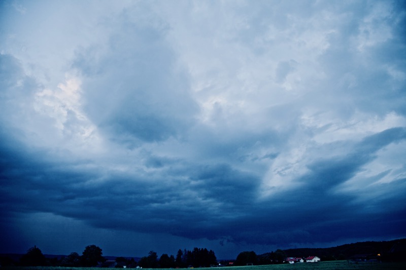
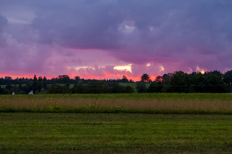
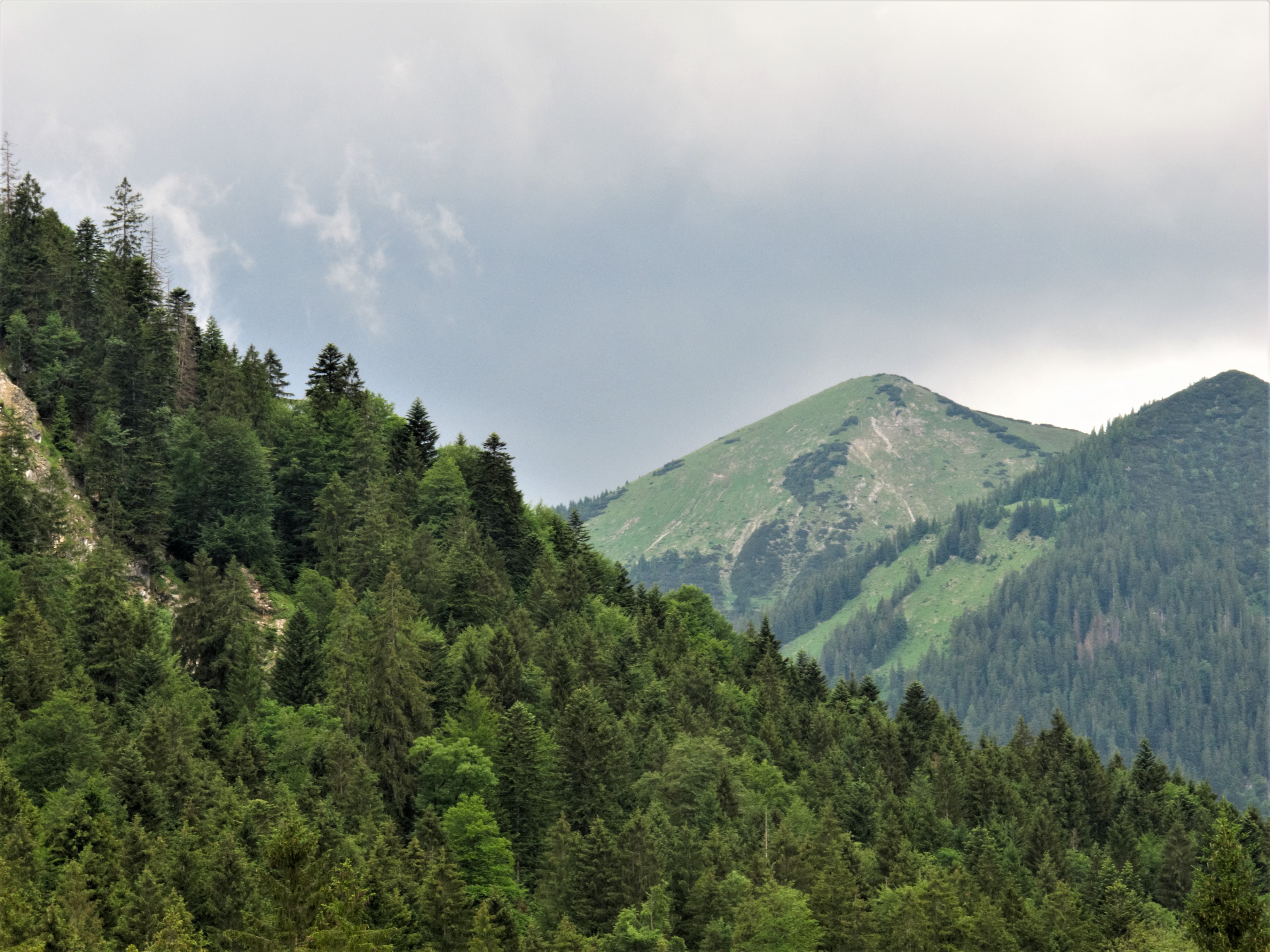
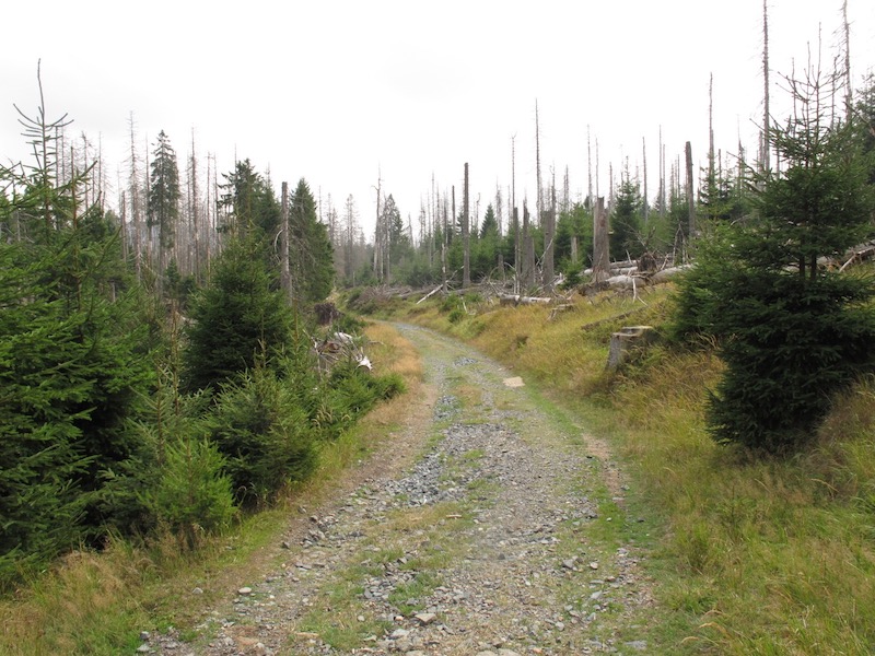
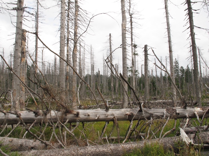
Again we see dramatic images in the Harz Mountains. These pictures were taken on a trip on the Western side near Torfhaus and the “Achtermann” peak in summer 2018. There is a fantastic trail from Torfhaus to Braunlage, a skiing centre in the winter. But during the walk, there is indeed a feeling of apocalypse. Getting closer to Braunlage the scenery reminded me

Officials of the National Park say everything is okay. This time the culprit is not acid rain. The trees, which are dying were mostly penetrated by the bark beetle. The management of the Harz National Park indeed wants to replace part of the forest and let these trees die. They want to grow a
It doesn’t need much fantasy to imagine that a big political controversy followed that kind of forest management. But there are a lot of examples that the National Park Management is on the right track. Some years ago there was a similar dispute in the Bavarian Forest. There are examples that the forest recovers even it takes many years before visitors can experience its natural beauty again. And it seems again that we don’t know exactly what’s going on.
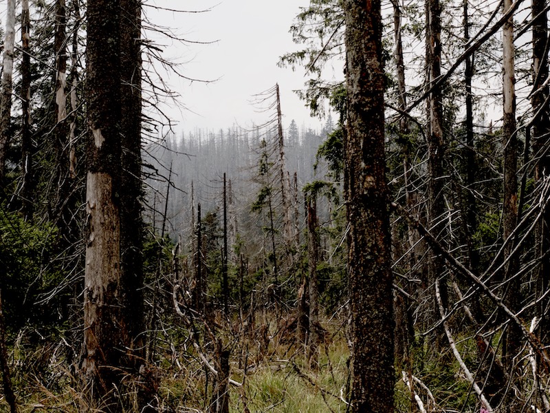
Climate change is the new big player in the game. Unlike acid rain and the bark beetle, the outcome is much more unpredictable. The forest is suffering due to heat and drought during the summer months. The Harz Mountains receive usually a lot of rain. They are situated in the far North of Germany and the low-pressure systems coming from the Atlantic deliver rain. The climate in the Harz region is more like in Scandinavia. But that changed over the last years. 2016 was too dry and 2018 was dramatic. The heat provided perfect conditions for the bark beetle and the trees were already weakened because they didn’t get enough water. But there is more.
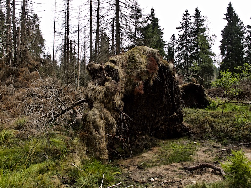
Over the last years, there had been devastating storms as “Sebastian” and “Friederike” adding to the damage. They felled a huge amount of trees. It is definitely the best strategy to replace the monocultures. But we can’t be sure what is happening – as it was 30 years ago. The National Park Managers do certainly their best but we are in a situation where there are global changes. We begin to live in a different world. More research should be done to develop the right answers. The dying forest syndrome is again a real threat. We don’t know if we really are in control. We learned that some assumptions about the decline of the forest 30 years ago were in some way wrong and nevertheless there was a real threat. And it is again. The most important thing is to stay open-minded and push stronger measures for the protection of our forests and further research forward.
Stock photography by Peter Engelmann at Alamy