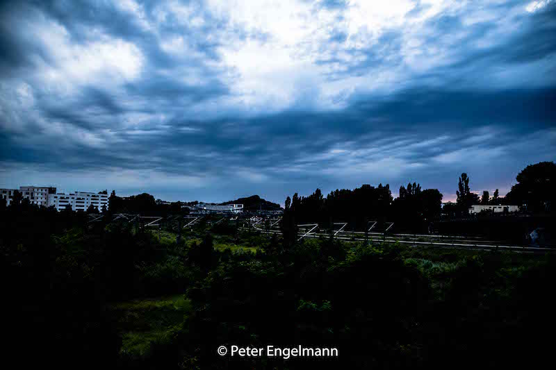
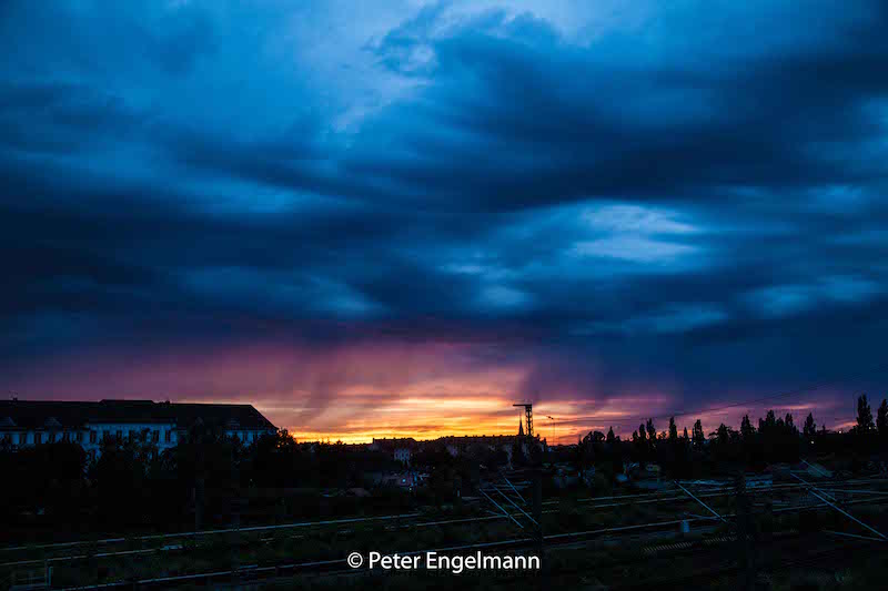
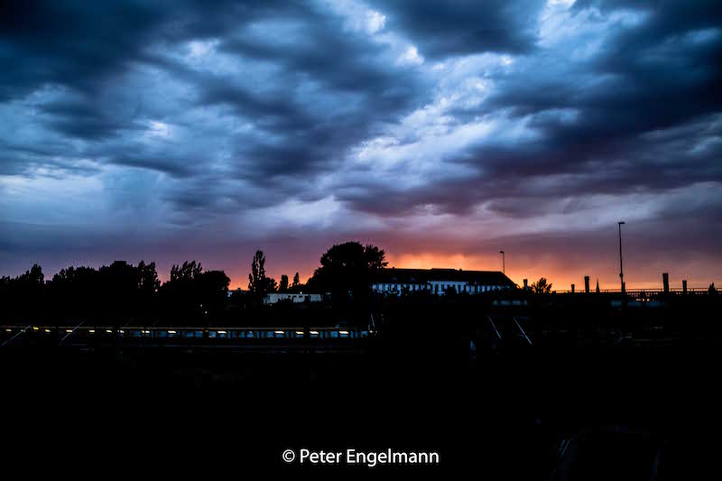
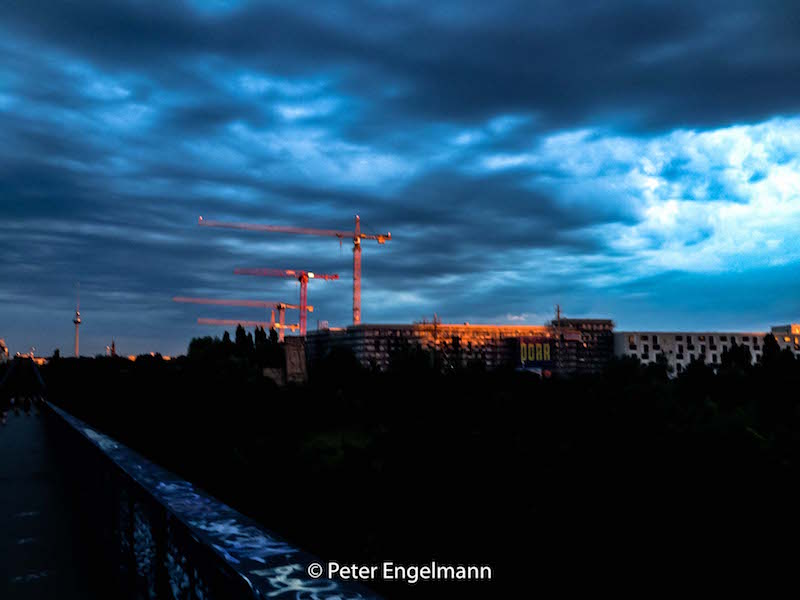
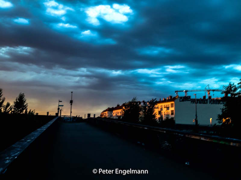
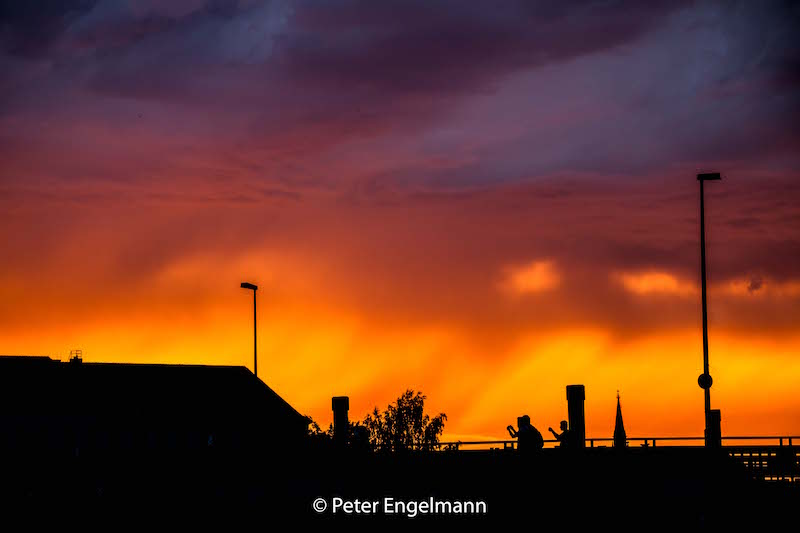
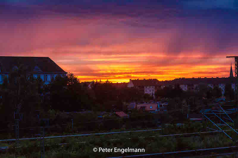
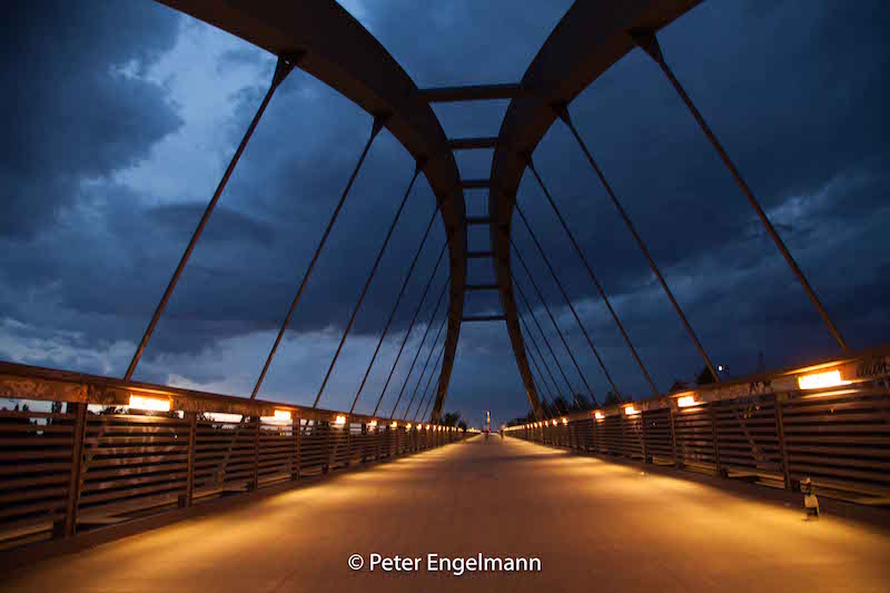
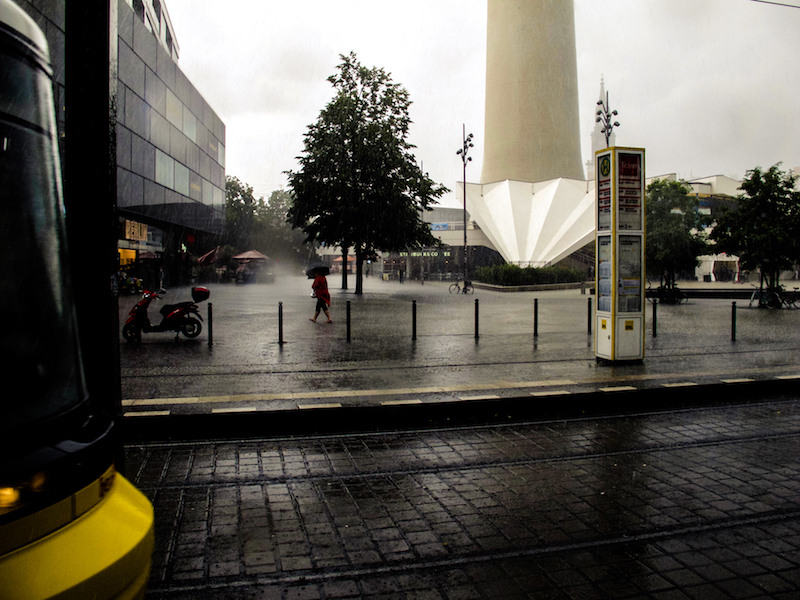
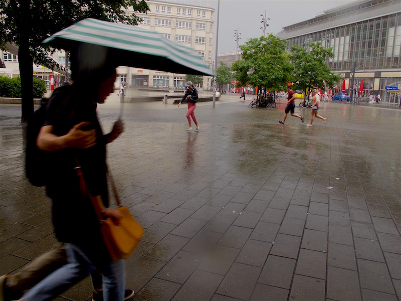
Berlin, July 22, 2017: The Flood Again

Again scenes looking like from Roland Emmerich’s “Day After Tomorrow”. Roughly three weeks after the flooding with lots of damage the German capital was again hit by severe weather. A thunderstorm and torrential rain hit the city on Saturday afternoon when many people were celebrating the Christopher-Street-Day-Parade. Luckily it didn’t affect much of the parade, but also this time there was a state of exception.

In some parts of the city particularly in the North and North-East but also in the South-West a lot of rain came down, and in Pankow, a storm left a trace of destruction. Trees fell on cars, the S-Bahn Linie 2 commuter train was interrupted in the North for some time, also the tracks of a street-car were affected.

Also again there was a lot of water on some streets turning them into canals like three weeks before. It’s noteworthy that often car drivers are obviously not conscious about the danger for their cars and perhaps also for themselves: if you drive into a puddle of water and the level of water is high enough its possible the water is sucked into the air filter. Subsequently, the engine could be completely destroyed. Cars could also become deadly traps if the car is drowning in a flooded underpass and the doors cannot any longer be opened.

If possible try to avoid driving when these type of flash-floods occur which are a novelty in Germany with this kind of intense rain and also the fact that we have now repeated events of that kind in shorter time-periods during summer.
<


It certainly looks like one of the predicted effects of climate change; for a long time, scientists warned of higher levels of moist air in the atmosphere during summertime. These wet air masses can lead to more extreme weather like heavy thunderstorms and extreme rain.

Obviously, it’s not yet possible to have a more precise forecast or nowcast about thunderstorms with extreme flooding. Forecasts were very precise this day about the time when the bad weather was supposed to arrive around 3-4pm in the afternoon, and there was also a warning about heavy rain, but it’s, of course, impossible to say where exactly the most extreme events do happen.

For example, the south-west of Berlin is usually less affected by severe thunderstorms as the North but there are exceptions from the rule. This time an underpass in Zehlendorf (South-West) got flooded. During the last event, the biggest mass of rain hit quarters in the west (Wilmersdorf) and a city north of Berlin, Oranienburg, where thunderstorms are more often.

Luckily the rain didn’t last as long as two weeks ago. Therefore it was another extreme day for police and fire-starters but it should be less damage as during the previous extreme weather event.


June 29, 2017: State Of Exception In Berlin Due To Epic Rainfall

Berlin and North-East-Germany have an increasing problem due to climate change: it’s getting too dry. Statistically, the annual precipitation amount in Berlin is around 550mm or less. The City and Brandenburg, which is the driest province in Germany, are situated between the continental climate regions in Eastern Europe and the West of Germany which is influenced by a more maritime climate. Often rainfall from low-pressure systems coming in from the west side doesn’t reach Berlin. But with every new year, there was even less rain.

In June 2017 there was news about problems with sinking phreatic levels and lakes in the Barnim ( a region in the North-East of Berlin) even dried out. This was shortly before a big surprise which kept fire-starters and police awake for more than 24 hours.

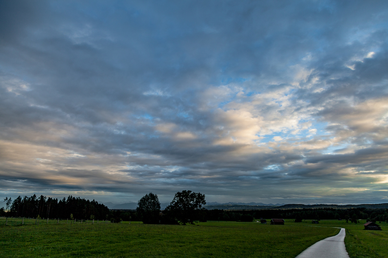
June 29 will be a day remembered for a historically unseen weather event. The day before brought already some severe weather with thunderstorms but at sunset, things looked calm. After some rain meadows and fields were covered with a thin layer of mist.

Only the typical cirrus clouds and weather reports indicated rain coming in for the next day.

There was indeed a flood warning in place but what happened then exceeded all expectations. In 24 hours there were 196,9 mm liters of rain per square meter in Tegel, which is the quarter of the city with the airport in the North-West. But all other parts of the city were hit by the epic flashflood too. It was like Noah’s Flood since the torrential rain didn’t stop for many hours.


Luckily there were so far no casualties but dramatic damage in various places: The U9 subway in the west was affected when parts of a tunnel were flooded, airplanes couldn’t land, many streets were underwater and a building had to be evacuated because of fears it could collapse. An endless number of cellars got flooded. Berlin’s fire-starters did an incredible job. There were over 2000 emergency responses. It was not before afternoon the next day that the state of emergency was canceled.

However, it is an eery silence at the moment. For some hours it was dry but in the late afternoon, there were again some torrential rain showers. The situation is still dangerous because trees could fall and levels of rivers are rising. There is more rain predicted for the next days.

The reason for this epic flood was an unusual weather-pattern with two low-pressure systems and extreme wet air in the Berlin-Brandenburg region. The wind was blowing from different directions. The clouds were circling around and some of them even moving back again due to the conditions in the atmosphere.

Not any extreme weather event is related to climate change but this type of tropic torrential rain is very unusual and fits in certain patterns which were predicted by scientists a long time ago. On the other side there was a flood in Berlin on April 14, 1902, which left strong memories long before global warming was an issue.

In any case, its time to take some precautions. Berlin will build new and huge water storages for the future. Today we are in praise for our firefighters who helped so many.

Breitachklamm Gorge, Germany/Austria – May 27, 2017

Wild nature in a fascinating way – this is the Breitachklamm near Oberstdorf, Bavaria, in the Allgäu mountains: A winding river through a wide gorge. Situated in the lovely Kleinwalsertal this is the deepest canyon in Central Europe.

Thanks to a tremendous effort of volunteers tourists can experience this wonder of nature not far from civilization. After early explorations in the late 19th century a village priest, Johannes Schiebel started the project of a path in the canyon in 1904-05. It was a courageous thing to do in the wild gorge which has a length of 2,8 kilometers and which was feared in earlier times as “Hell Canyon”.

Today it has become easily accessible with a huge parking space and a frequent bus connection between the main station in Oberstdorf and the entry building where you can buy your tickets. During summer its recommended to arrive early or to use the bus since a lot of people are coming.

The gorge is also very interesting for anybody who is interested in weather and climate. In these mountains, there is a distinct micro-climate with a lot of rain over the year. Not far from the Breitachklamm is Balderschwang, which is a record keeper in annual rainfall.

On the other side, the climate appears to be moderate, and there is an excellent air quality.

Moos on trees shows that there is no pollution and a wet climate.

There is an incredible variety of the vegetation. Nevertheless, its surprising how many plants grew in the extreme conditions of the gorge. Shortly after the entry, there is a “vertical forest” before the canyon becomes more and more narrow.

The gorge is a product of the last ice age. The river carved its own bed deep into the hard dolomite rock. Even there are many tourists and the path is strongly secured you feel a bit intimidated when the rock walls become narrower and narrower. Here we always will be temporary guests. Nature rules. This is how explorers must feel if they enter an unknown world.

Huge chunks of rock are lying around. In spring a lot of water runs through the gorge and huge trees are left there. In 1995 a landslide happened and a mass of rocks came down and blocked the river. It ended in a huge flood. The path was destroyed and later restored. Floods after torrential rain or when the snow melts are always a potential danger for the path.

Of course, the gorge offers a lot for photographers and filmmakers. It’s also a great inspiration. Since there are a lot of visitors on weekends perhaps a rainy day or a visit in winter when water is transformed into giant ice sculptures could be interesting alternatives.

You should check before if the gorge is open for visitors since they need to close it for security reasons under certain conditions of weather: http://www.breitachklamm.com/

The visit of the Breitach gorge is also a good start for a bigger tour – there are many trails around which lead either back to the parking lot or another bus station or to many managed alms. At the end of the gorge, the valley is more open and you reach a lovely river bed with the mountains in the background. It looks a bit like the Rocky Mountains in a typical western setting.

April 28, 2017 – Snowfall

End of April: It is shortly before “Beltane” – the day where the summer is introduced – but in Southern Germany it looks like Middle of January. Even the days are already long, there is a grey twilight all the day. Its snowing and raining for days, temperature always close to zero. In the Black Forest the mass of snow became already a problem since this snow is very wet and heavy. Branches of trees were falling down. And in the Allgau (Bavaria) there are 30 centimetres of snow in some places. East-Switzerland experiences a mass of snow. The weather conditions are a big problem for traffic. A lot of accidents happened. Some drivers didn’t expect these kind of conditions late April. It is the first time that there is a closed sheet of snow in Bavaria since April 1989. This weather pattern, however, is not an anomly. Even this is not so typical winter can often last til May in Europe. In the mountains there is still snow most of the years. What’s getting amazing and perhaps a new trend due to climate change is the strong contrast between high and cold temperatures in a short time span. The current situation causes the biggest problem for the farmers. The late frost created huge damage in the orchards. Fruit trees are in full blossom because of the sunshine and warm temperatures in the first week of April and couldn’t stand the cold temperatures later. Its nearly impossible to protect orchard trees, particularly huge fields of fruit trees. There is also a problem for vineyards and gardens now. April is always a big risk for agriculture because it is unpredictable. Anything is possible. There had already been years with heat, drought and winter days like this year. What is really remarkable is the amount of rain and snow which is coming down now for days. It looks like the low-pressure system isn’t moving. However it is not a dangerous situation like the so-called 5B-pattern in Middle Europe when humid air from the Mediterranian is pressing against the North and leaving devastation floods. In April there are normally often showers of sleet, which is the so-called “April Weather”. Often then there is a quick change between sunshine and rain. For photographers April is usually a good time to take pictures of rainbows. This year, these days with its grey skies don’t look like something which is worth to take some pictures. However even such a late winter day can create a special mood. The pictures were taken at lake Ammersee, Upper Bavaria.

April is always a month of extremes in temperatures from very cold days til hot days. The record is a day with over 30C in Brandenburg, Germany. It’s normal that the weather is not stable. The meteorological explanation is that is is already very warm in Southern-Europe and Northern Africa and on the other side the sun is lower in the North; the sea is still very cold. Therefore there is a struggle between cold air and warm air. The good news is that summer wins the battle – for some months.