The Strongest Thunderstorm In Southern Bavaria 2025 – Massive HP Supercell on September 4, 2025

Peter Engelmann, December 23, 2025

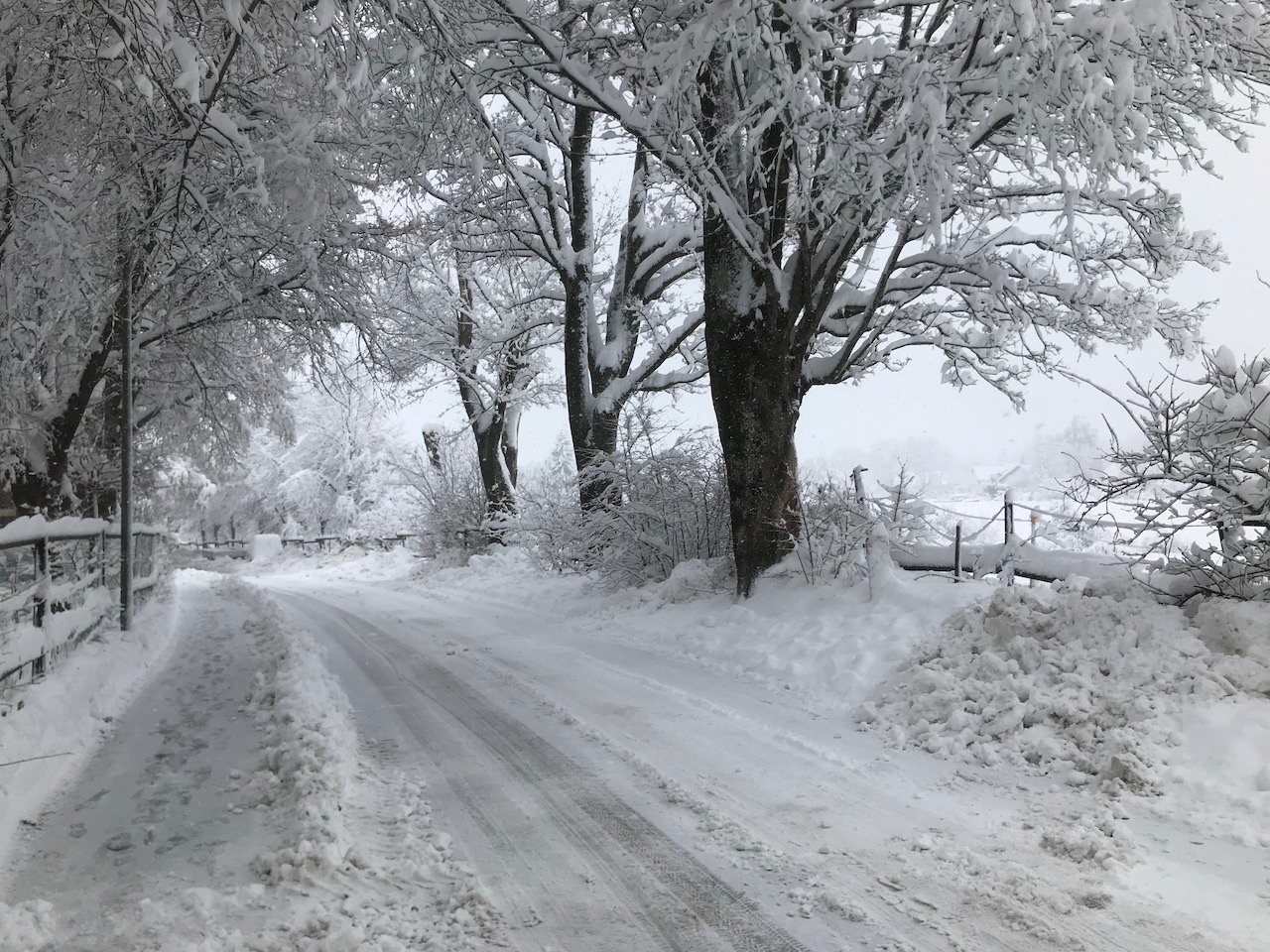
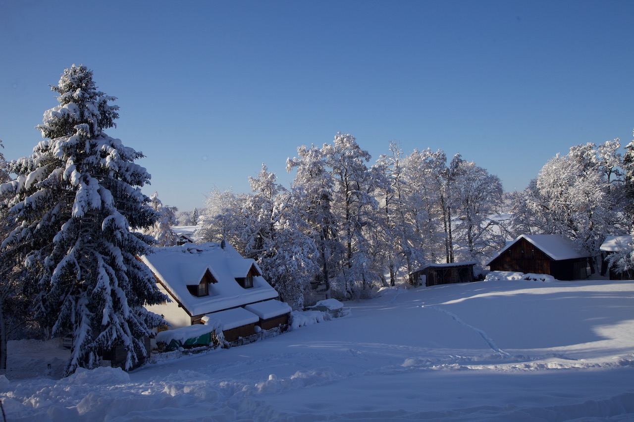
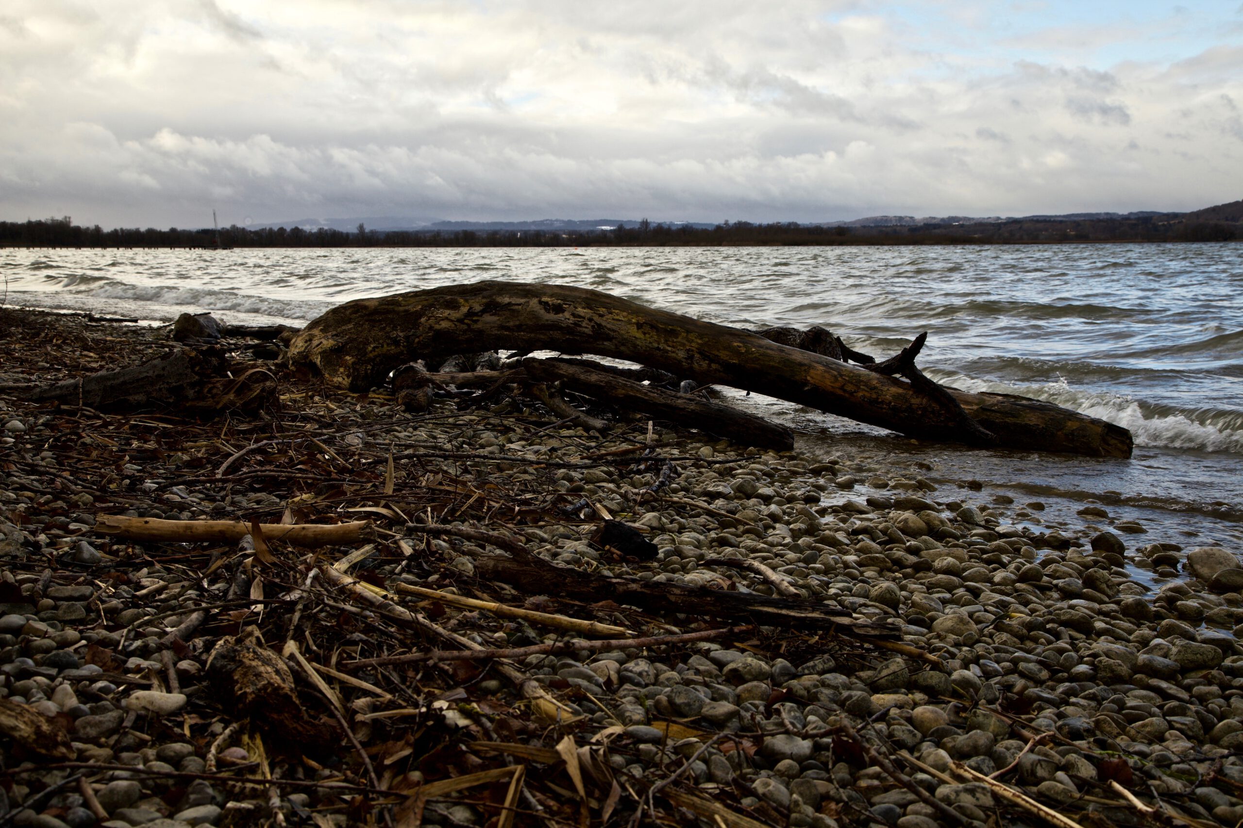
2025 had been a disappointing season for Stormchasers in Southern Germany for some time compared to 2024, or a better and quieter season for farmers and other people.

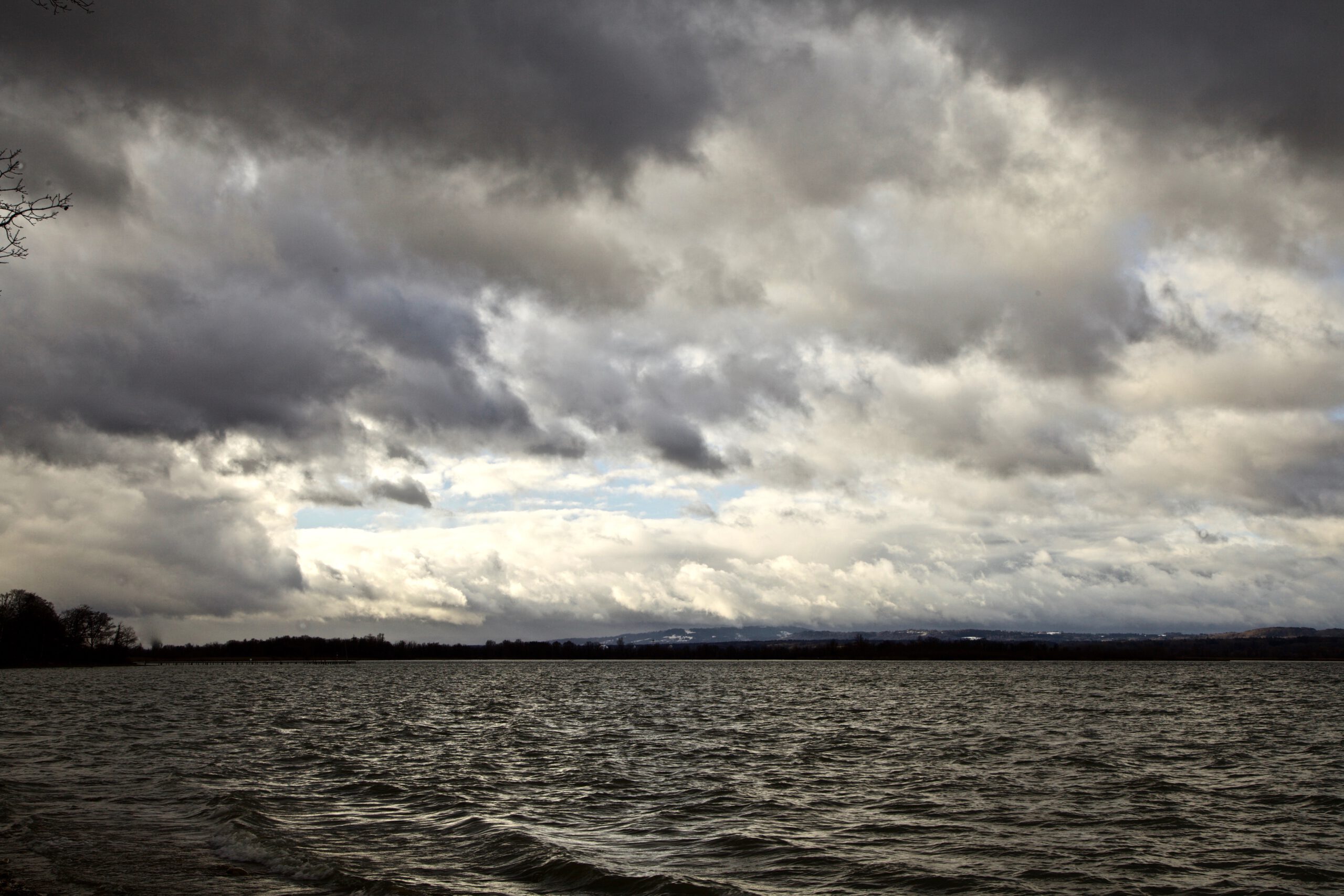
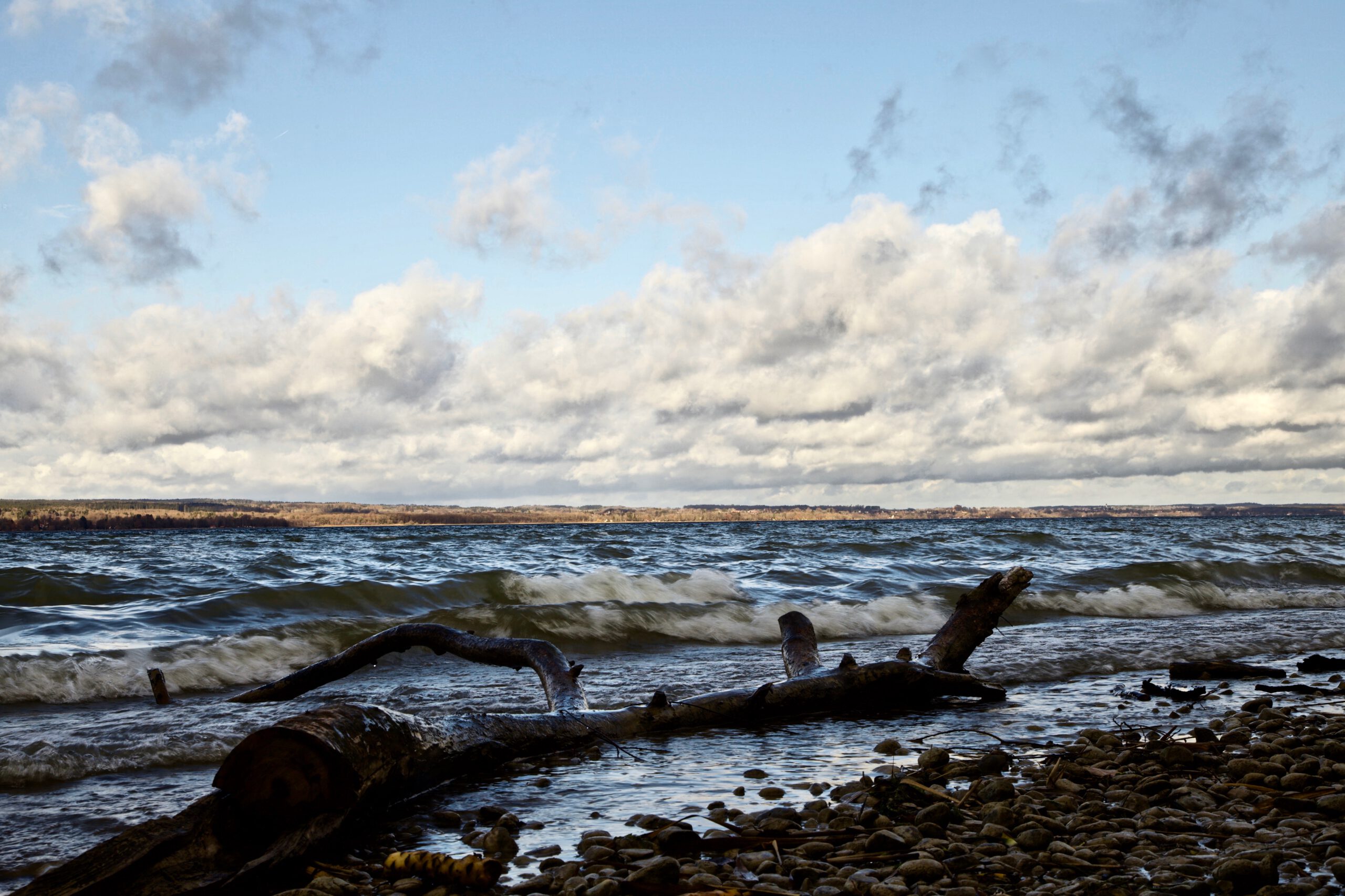
However, near the end of the Thunderstorm Season, there was one spectacular event which reimbursed weather watchers for a long wait. In the early evening hours of September 4, a massive supercell developed in Switzerland, then intensified in the South-West of Bavaria near the Allgaeu mountains and moved towards Lake Ammersee and further to the North-East. 

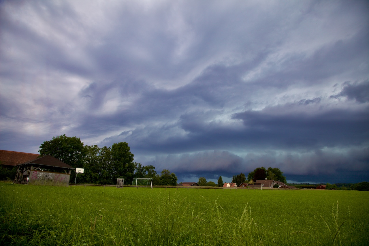
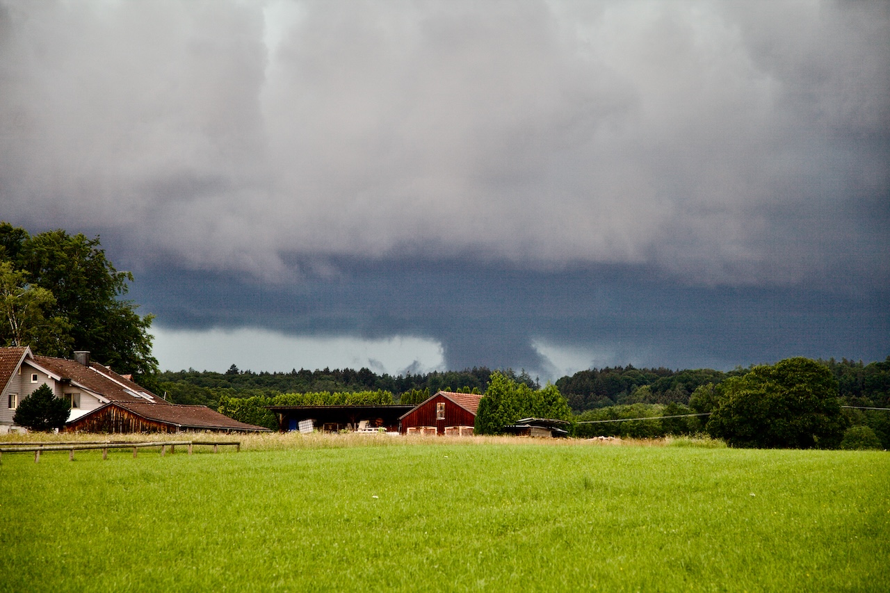
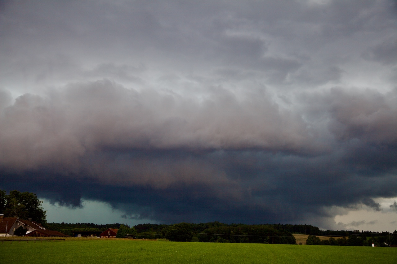
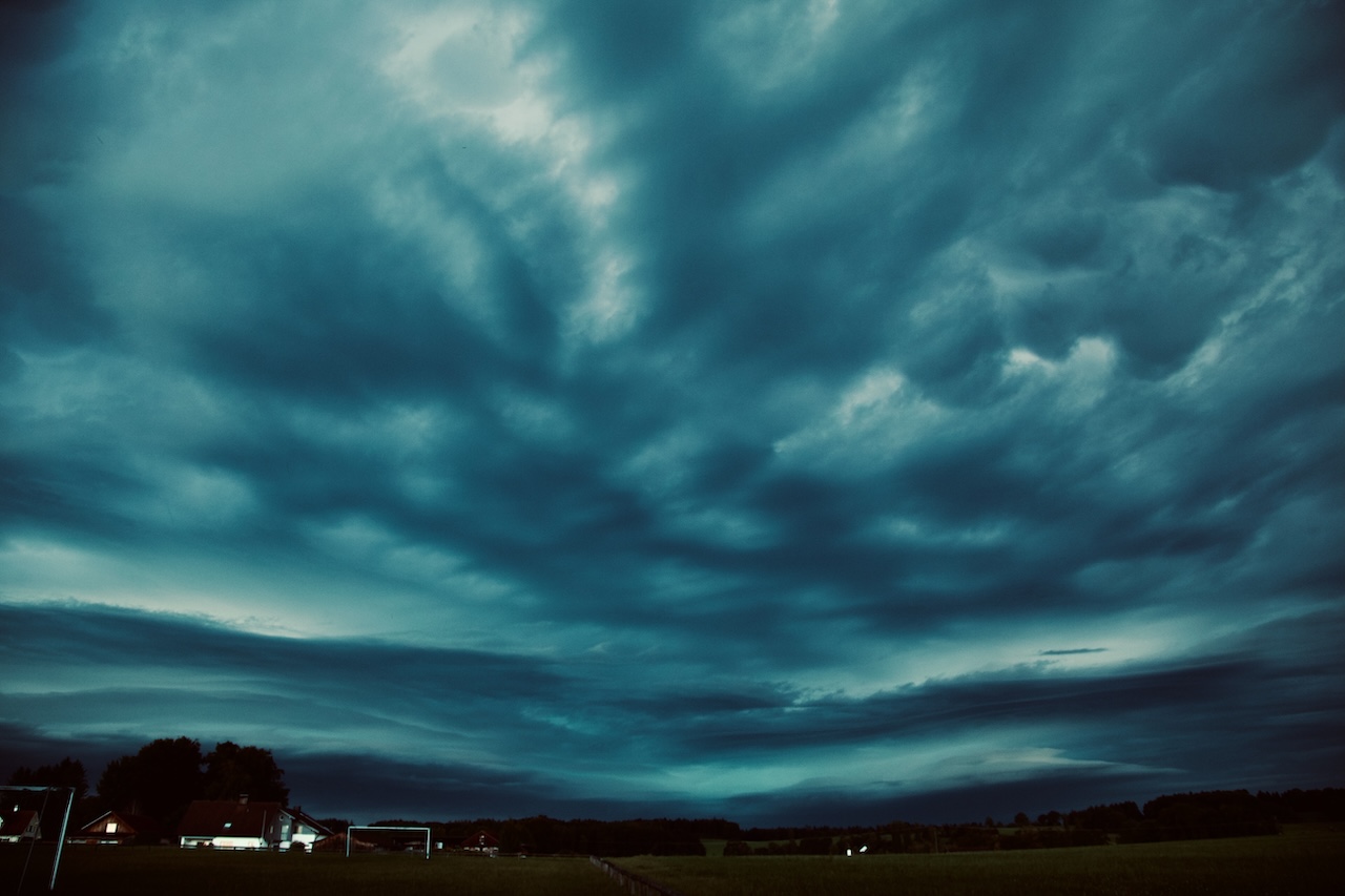
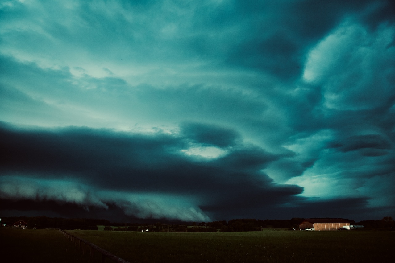
This supercell thunderstorm intensified and brought storm, hail, and lots of rain. Most of all it created a dramatic and memorable scenery due to its highly structured shelf cloud with multiple floors. 

That storm system moved slowly, and because it was already getting darker as the sun was close to the horizon, it increased the dramatic effect of the approaching clouds. 

Furthermore the approaching shelf-cloud was, even for experienced weather-watchers, a unique experience as it looked like it would directly touch the ground. We were not the only ones filming that day, and there are a number of videos on YouTube documenting this spectacular weather event.

A public festival in Gillamoos had to be evacuated, and this massive storm left some damage across its path. The Firestarters had a lot of work in the Allgeau region. A dam broke. 

Another impressive fact was that the weather system, which started in Switzerland, even made it to the North of Germany. The original supercell became a cluster of storms, a so-called MCS (Mesoscale Convective System). 

The reason for this extreme weather event was an air mass limit over Germany, separating subtropical warm air from colder air coming from the Atlantic. There was an enormous energy in the air. The models predicted a dangerous situation with severe storms, and a weather warning was issued. The weather forecast was pretty good in this case.

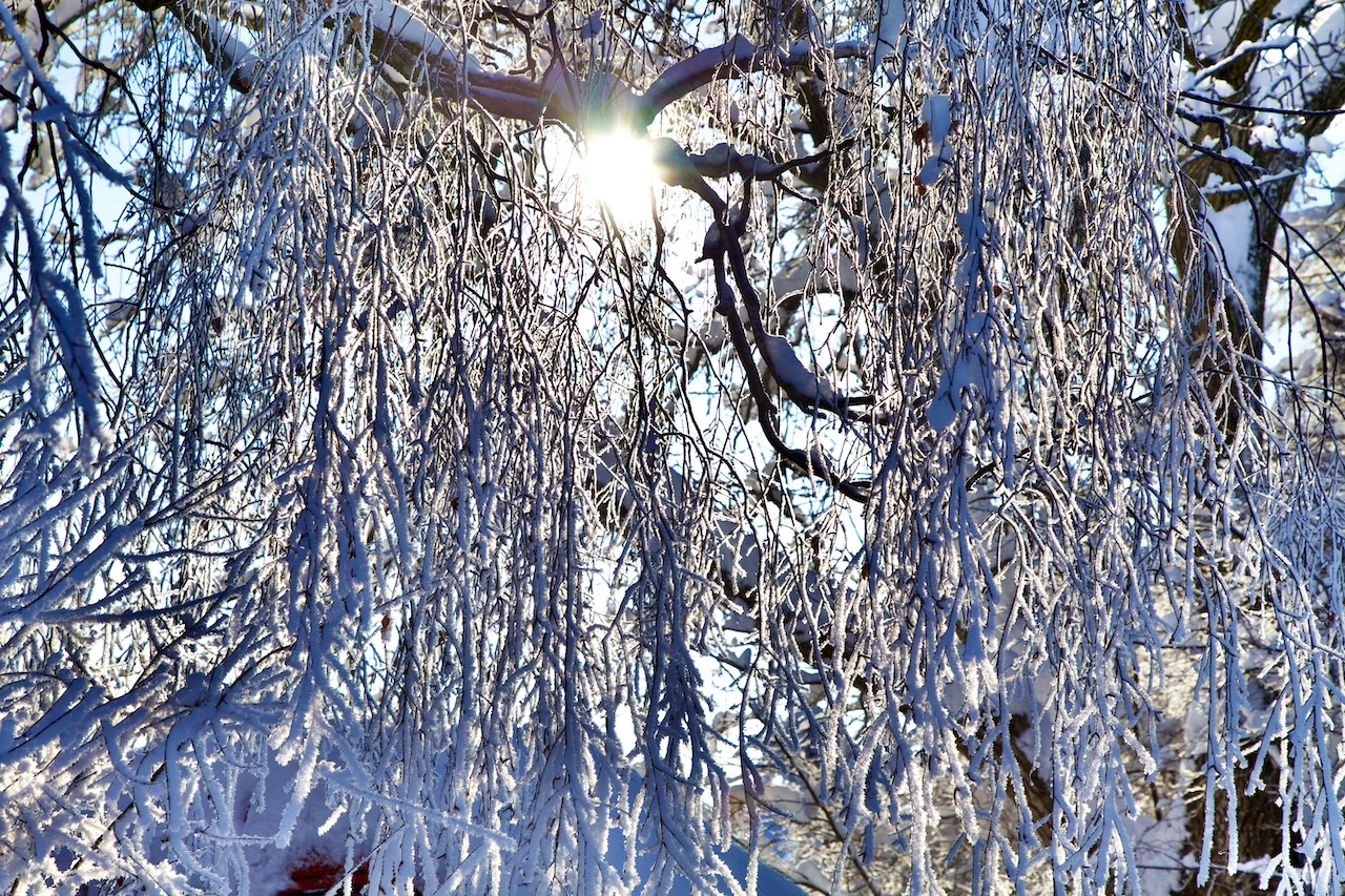
It’s noteworthy that there were often blocking weather patterns over long periods with little change that are responsible for the lower number of thunderstorms in the Southern German area. By the end of the year, there is a clear anomaly with too little rain, even though there wasn’t any severe drought in Southern Germany.

For photographers, this special supercell storm created an eerie, even otherworldly atmosphere which intensified as it got darker and the storm approached:

From the perspective in the picture, the approaching shelf cloud appeared like a giant waterfall touching the ground.

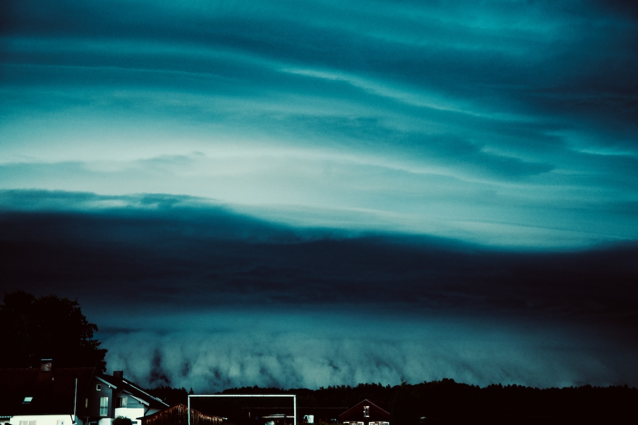
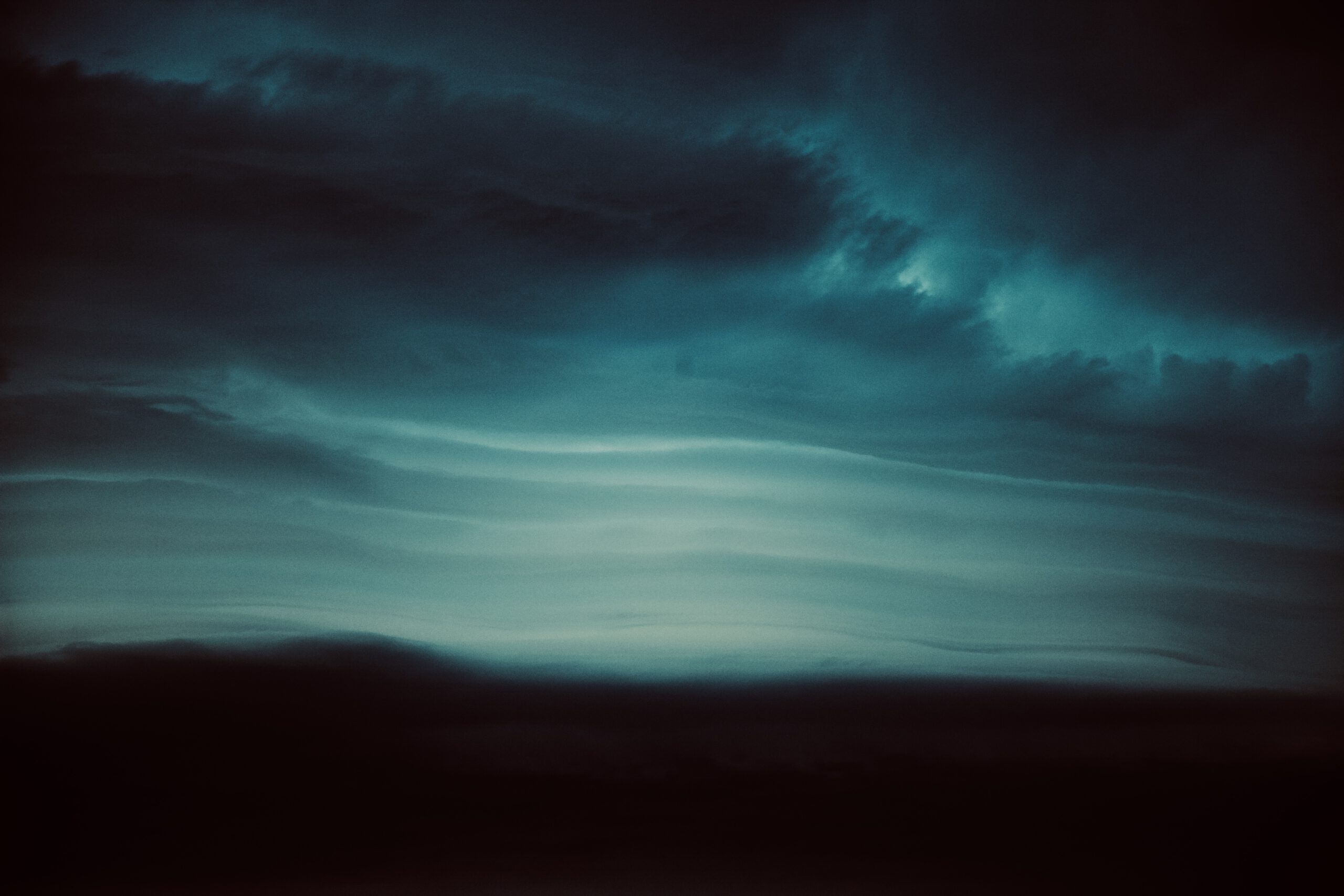
And then unique patterns in the clouds above appeared:

A closer look created images that look more like the picture taken from a probe orbiting Jupiter:

This awe-inspiring thunderstorm was a reminder that we live in a world full of wonder. Even though there is good prediction of these storms, measurement, and scientific synopsis, there is still a mystery here.

Devastating Super-Cell Storm in Upper Bavaria on July 10, 2024

Peter Engelmann, July 11, 2024

Weather services warned the day before and were right: In the afternoon of Wednesday, July 10, 2024, a severe weather system hit Bavaria with full force. One epicenter of the devastating storm was the municipality of Holzkirchen, South of Munich. Large hail, flooding, gale-force winds, and lightning left chaos amid rush-hour traffic.

Fire Starters had their hands full of work with flooded cellars and damaged roofs. Rail transport was interrupted and was down for hours. Many overturned trees blocked streets and rails. Passengers were trapped for hours.

In West Upper Bavaria and elsewhere the approaching weather system was an awesome sight:

Shortly before 3. pm, a drama unfolds in the sky. Note the different layers of clouds which seemed stacked above each other. After approximately 20 minutes the weather system came closer fast.

As with previous extreme weather situations this year the amount of rain was impressive. Streets were flooded within minutes. The super-cell storm is the last in a series of extreme weather events in 2024. In May a flood set whole villages near Augsburg under water after days of rain. Weather remains unstable for a longer time. The amount of rain and sudden flash floods underline the change in the atmosphere. A warmer atmosphere due to human-made climate change can contain more atmospheric humidity and lead to more extreme weather: Heat waves and flooding are the new normal.

This might be mistaken for a tornado but it is a low-hanging cloud.

The severe weather system has approached with interesting and unique cloud patterns. In some moments it looked like the clouds would hit the ground. The timelapse video below shows the chaos in the atmosphere. It got pretty dark shortly before the rain arrived. Since the cameras are not waterproof the coverage presents only the beginning of the arriving storm. When the storm arrived there was some lighting and intense rain for a long time.

Even though it was the middle of the day it got pretty dark.

Late in the day, the rain stopped and the sun appeared again. But the humidity was still high and more thunderstorms are expected for the next days. The temperature was a bit lower but climbed again on the next day. July is the typical month in middle Europe for hot temperatures and severe thunderstorms. They happen more likely in the mountainous terrain in Southern Germany. The super-cell storm like yesterday, which often starts in the area where the river Lech leaves the Alps is called “Lechtalerin”. Typically it intensifies on its path to the East. These types of supercells are often long-living and move a long way. They should never be underestimated.

Nevertheless, the weather phenomena on the north side of the Alps are a unique opportunity for photographers and filmmakers to take breathing images and portray the forces of nature. Timelapses are revealing movements and dynamics in the weather system. In this case, two cameras were used for the video, one shot in timelapse mode, the other in normal mode with 60 fps. This method gives more options to get good footage of thunderstorms.

Record Snow, Chaos, And Winter Wonderland

That was an unexpected start to the winter. Used to often warmer winters over the last years the tons of snow on the First Advent in the region North of the Alps and Austria had an American feeling of real winters in the North or simply the times before climate change, when cold winters with lots of snow were normal.

On December 1, 2023, a 5B Weather Situation and an air mass limit led to new record snowfall in Upper Bavaria. In only a few hours a thick layer of snow stopped trains and airplanes around Munich, causing over 90 traffic jams and many blackouts on Saturday, December 2.

A surprise in the morning: A thick layer of snow on the table.

There was so much snow that even on December 2, an emergency state in the capital of Bavaria lasted. One reason is that every weather event is different: In this case, the snow was wet and lasted on branches of trees. Some trees feel or parts of the trees broke apart. Therefore police and first responders had a lot of work.

It began in the afternoon hours on December 1 when the rain turned more and more into white blobs. The evening hours saw intense snowfall. It was snowing and snowing and in a few hours, the landscape was completely under a thick layer of white. That was too much for winter services to cope with.

In the morning hours of December 2, it was clear that it would take a lot of time and effort to clear streets, garages, and gardens from the mass of snow. Snowing didn’t stop before late afternoon. A cold night followed. On Sunday the weather calmed but it became even colder.

That first advent will be remembered as a true Winter Wonderland dream. Frost, the thick sheets of snow and ice created fantastic scenery in Bavaria and in the Alps.

Due to the nature of this weather event where snow often was attached to trees and other things it formed interesting sculptures.

With a little imagination, the fields were filled with strange creatures and an endless variety of forms.

Warmer temperatures and a cold night led to these interesting effects.

The trees were veiled in sheets of snow, ice, and frost. In one place there was an ice-curtain.

Here is a little red contrasting the white:

Antennas weren’t spared.

This fence had a lot of frost crystals.

The early morning hours are the best time to capture Winter Wonderland scenery. The cold air is very clear and a deep blue sky contrasts the white trees and fields.

It is always a good idea to bring some elements into the picture that add to the atmosphere as old barns or houses.

An attraction is small streams that are not yet frozen. If the water is warmer it creates often a thin veil of mist which looks great when illuminated by the sun.

Winter Storm Nadia, January 30, 2022

End of January shores at the Northern Sea and stretches in different countries were hit by winter storm Nadia. This was a low pressure system which changed weather condition in Germany after a quiet period with high pressure. Most of the days there were low hanging mist, some snowfall and lots of sun in the Alps. The weather change is not unusual for this time of the year. Winter Storm Nadia did serious damage on the island Langeroog, Hamburg and Berlin. In Langeroog the sand of a shore was swept away and what was left was some kind of newborn cliff.

Windy Sunday Morning: Fast moving clouds, waves and snow on the hills in the background

In Southern Germany there was a windy night between January 29 and January 30. The wind calmed down a bit in the morning of Sunday, January 30. There were moderate winds at the Lake Ammersee. Temperatures were up a bit after some cold days. The snow remained in the higher places of Upper Bavaria. As often there were interesting atmospheres and cloud patterns during that stormy winter day. Even the wind was only moderate on the ground, the clouds were moving fast. It was a quick change of conditions with sunlight and overcast sky. The air was very clear This is always a condition after a storm and very useful for taking pictures or taking videos.

The winter times and morning hours are also a good time for pictures and videos, since the sun is not heigh up in the sky. Therefore there are interesting cloud colours and a crisp blue sky between the fast moving clouds. It is good to avoid walks through forest even after a frontline or a storm has passed. Open places like meadows, hills or the shoreline of a lake are safer places to capture some pictures.

Driftwood after the storm night

The shoreline on the Eastside of the lake Ammersee, the second biggest lake of the so-called “Fünf-Seen-Land” south of Munich is a popular spot for photographers. It is close to the nature reserve “Ammersee West” and there is a sense of wilderness there. There is always driftwood and whole trees scattered around. If the branches or trees last longer in the water they can turn into sculptures. Nature is an artist here.

Thus it was the idea to take a stroll at the shore of lake Ammersee near that nature reserve and take some pics with the fast moving clouds on Sunday morning. It was only a quieter moment between two storm systems. The wind was taking up again on Monday, January 31. Temperatures dropped again and snow as falling. Series of storms are not unusual for this period of the year. However, we see now unusual extremes at any time of the years in some parts of the world. Whereas winter storm Nadia was more or less a “normal” storm, the U.S. was hit by extreme winter conditions. the same time.

After a cloudy morning there were more and more blue skies. In January the winter sky has that special blue color. After the front had passed the day before it was dry til the next day. Wind and waves changing the appearance of this special shore all the time.

Peter Engelmann, 31.01.2022