Extreme Weather In Southern Germany June 2021
Peter Engelmann, July 3, 2021
2021: A cold spring with temperatures in May below average. Luckily there was lot of rain in parts of Germany after a drought since 2018 in some areas which damaged trees and raised serious concerns for example about the future of the water balance and water supply. In June a heat wave followed. However unlike in previous years there were no long lasting high pressure systems. The weather situation wasn’t so far stable for a long time. The heat wave ended with some extreme weather events. And again, we had situations for example in South-West-Germany or in Landshut, lower Bavaria, which were unprecedented. There are a lot of discussions now going on if this is climate-change related or if it is another rare weather pattern.
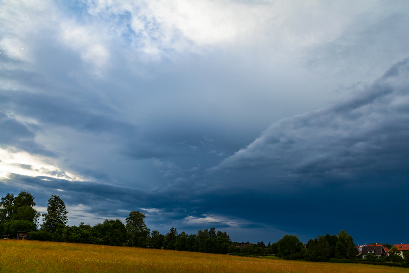
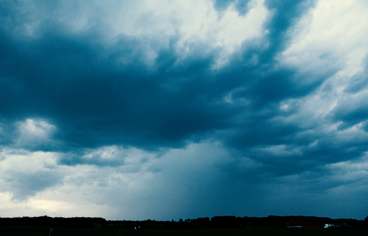
Things began to change in Bavaria June 20, 2021. The days before had been mostly dry except first thunderstorms in the Southwest and in the Alps. On June 20 there were some rumble and not so intense lightning in the region west of lake Ammersee. As usual there are huge local differences: There were soon stronger thunderstorm whereas a few kilometres apart from that place nothing or little happened. That’s very usual and always challenges weather forecasters.
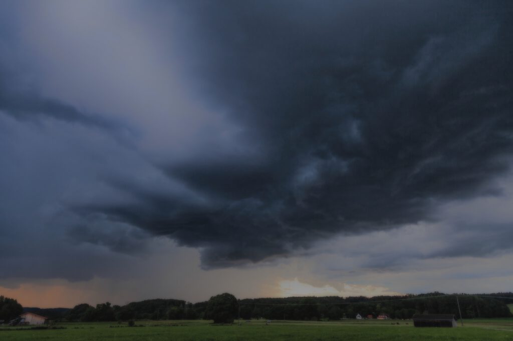
Thunderstorm in the early evening hours of June 20:
The next days there was a much different weather situation: In the late afternoon or evening real strong thunderstorms occurred. Rotating supercell storms were also reported in the Southern Germany. Even more extreme weather happened in France where an air mass boundary created havoc. In France huge clusters of thunderstorms formed repeatedly and moved to Belgium and North-West Germany.
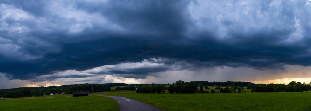
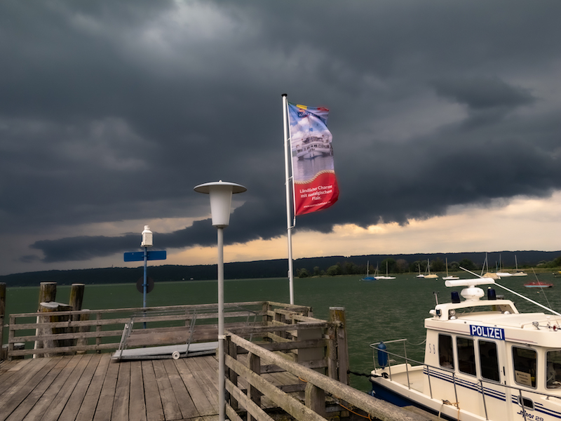
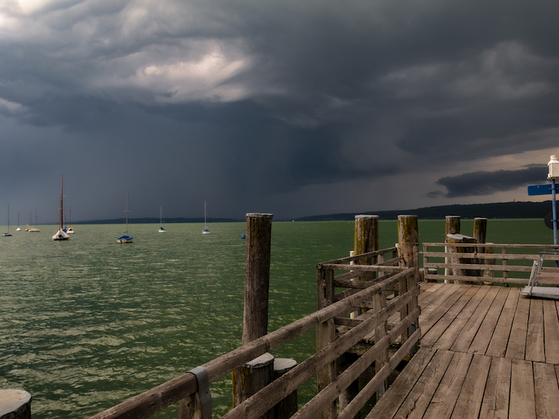
Strong thunderstorm on June 24, 6.45 p.m. near Diessen (Lake Ammersee, Upper Bavaria)
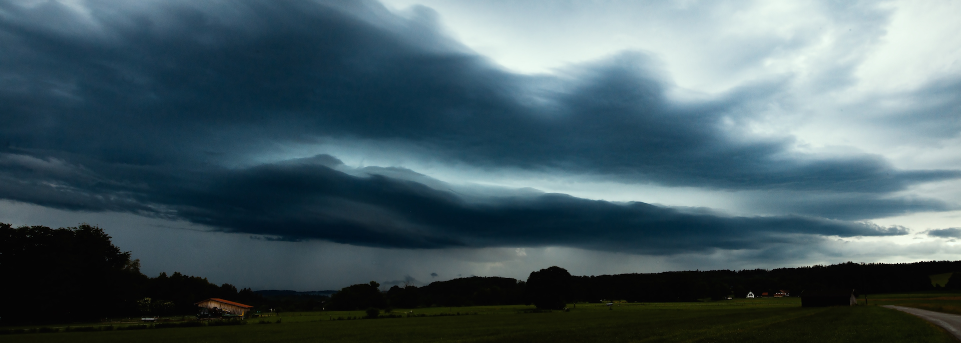
The extreme weather with strong thunderstorms, flash-floods, even extreme hail with enormous hailstones and masses of hail lasted for a couple of days. The reason: The air mass boundary moved only slowly in Europe. It worked like a machine charging up the atmosphere and creating new thunderstorms. A time-lapse video from June 21, 2021 late afternoon gives you some idea how quickly the storms formed:
It was interesting that there were very different types of thunderstorms. The location southwest of the Ammersee experience short-lived thunderstorms, a thunderstorm which arrived very quickly as the next day there was slow movement and plenty of time to take pictures. In the night there was also one of the “stroboscope”-like thunderstorms, where you hear not much loud thunder but you see an incredible light show with high rates of flashes. There were both thunderstorms without wind and thunderstorms with very strong wind.
The thunderstorm on June 24 created some great lightning:

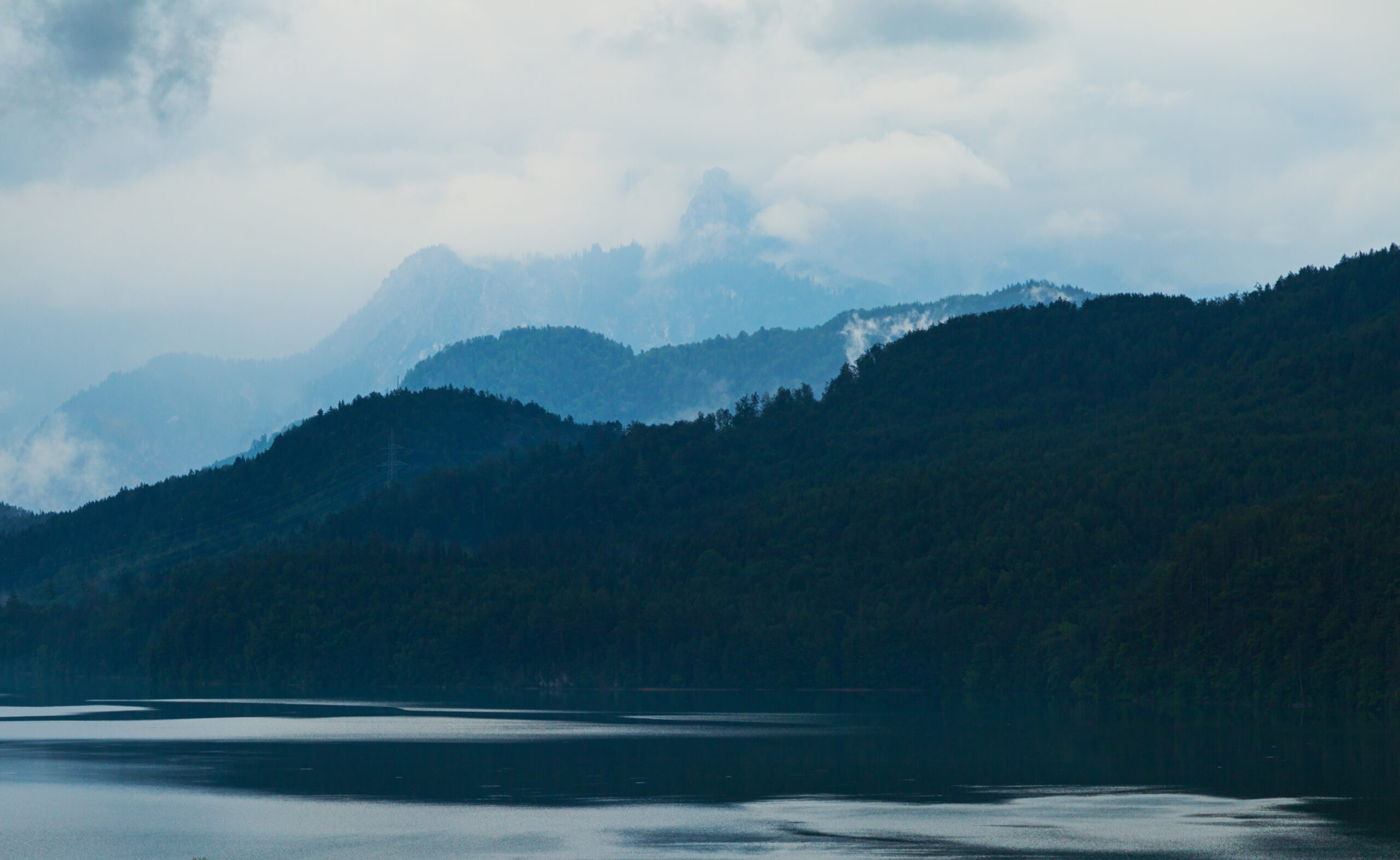
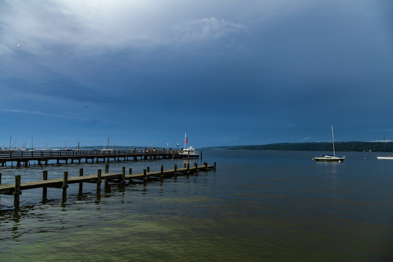
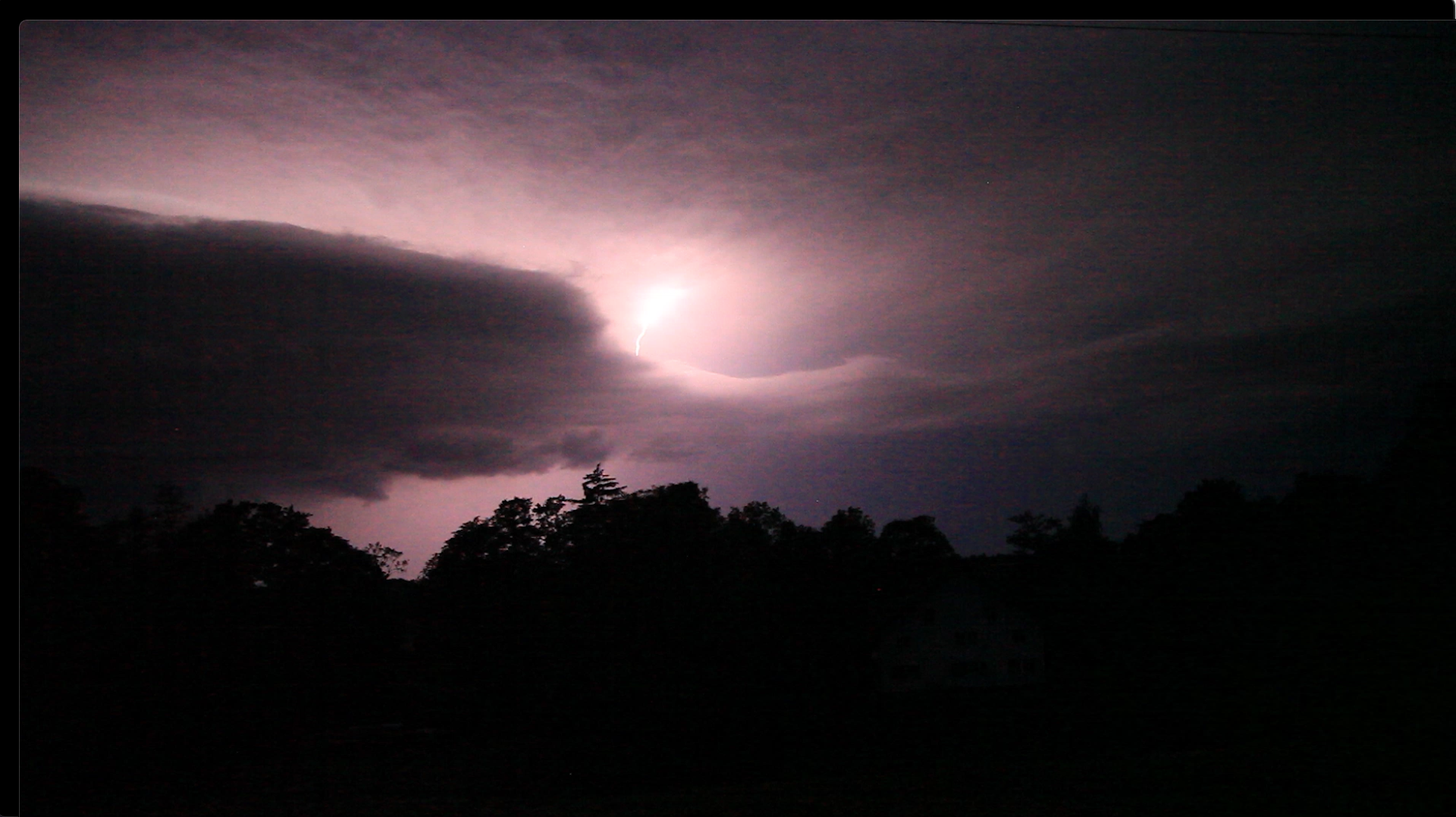
The storm below occurred June 28, 2021 and brought intense lightning. However it was completely different as the “strobe-storm” the night before before. The lightning was also better visible. After one of the storms there was also a thick mist around sunset. Later the mist vanished and another thunderstorm with strong lightning occurred. The stronger storms came mostly from the Alps.
Thunderstorm in the evening of June 28, 10.00 p.m:
Flash Floods and Super Cell Storms
Finally there was an exchange of air mass. The hot humid air was replaced by colder air. June 29 was the climax of the series of thunderstorms in Germany: In Bavaria, a super-cell coming from Baden-Württemberg, intensified and brought an incredibly flash flood in Landshut Lower Bavaria. The days before a deadly tornado happened in the Czech republic. The video shows the aftermath of the big storm on June 29 which was accompanied by very strong winds.
Here is also an interesting thing for photographers and videographers: Usually most people are interested to catch a storm coming to them or before it happens. But there is a lot of possibilities to get interesting moods and pictures when the storm passed. The video belows shows what was going on in the atmosphere after this huge thunderstorm on June 29.