THUNDERSTORMS AT DUSK

Photo Tip: Showers and Thunderstorms shortly before sunset

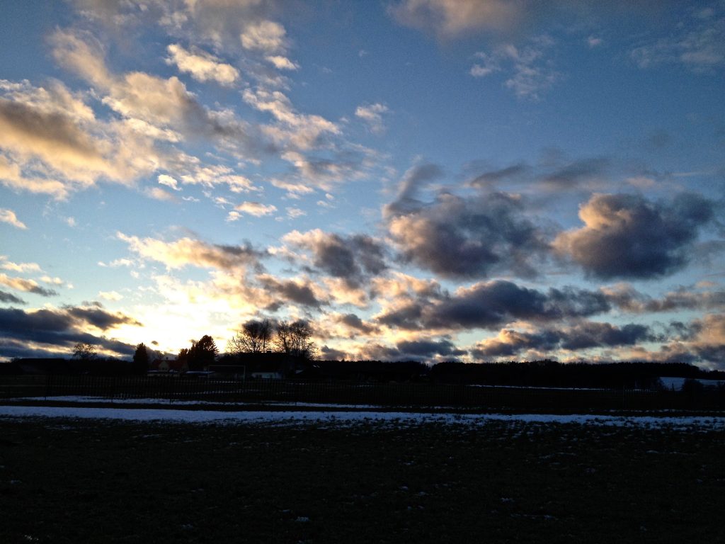
What is the best time to catch the most dramatic sceneries in the sky? It is, of course, the early morning light or when it is getting dark. In Europe, it is often in May or in August when there are opportunities to catch dramatic thunderstorm clouds in the late daylight. Particularly in August, the days are getting shorter and there isn’t so much dust in the air.

Taking pictures around sunset with fast moving clouds however are always a challenge. The light conditions change quickly. If possible choose raw mode since there are more opportunities to improve material later. A tripod or putting the camera in a stable position is also important. Furthermore a remote Release/timer can be a very useful tool in these situations.

A couple of lightning storms in August

Early August 2018 offered some possibilities to capture thunderstorm and shower clouds in the early evening. The strange summer with the headline provoking heatwave and the drought continued in many parts of Europe. There was still no longer lasting rain. In Bavaria, there were showers and thunderstorms happening close to the Alps as before.

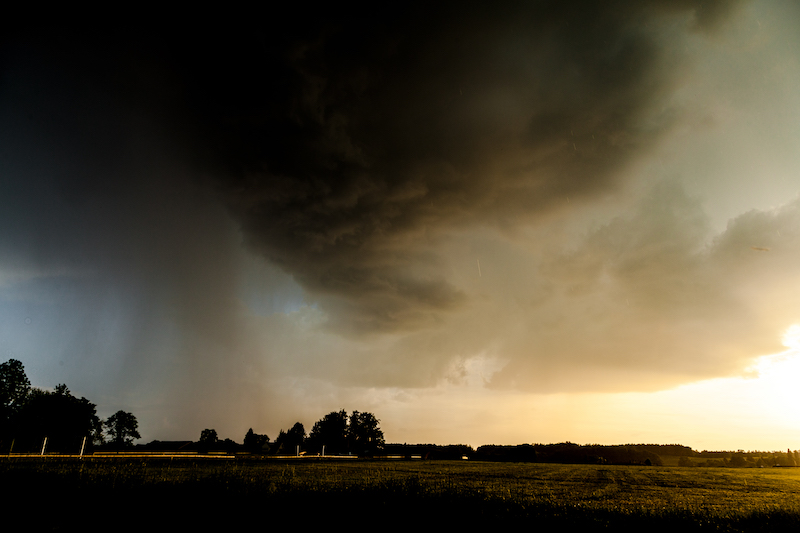
Intense Thunderstorm Bavarian Alps, August 9, 2018

August 9 there was severe weather in Germany. The storm cell above arrived around sunset and this is the backside of the storm. There was little time left to take pictures since the daylight faded away.


Stock photography by Peter Engelmann at Alamy

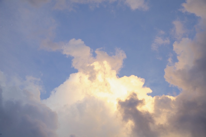
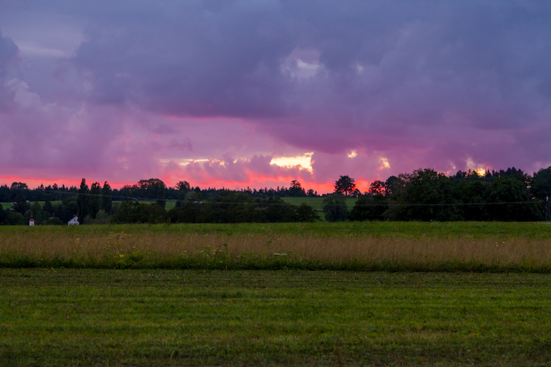
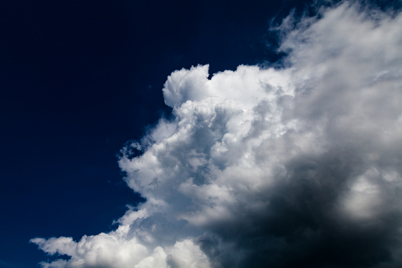
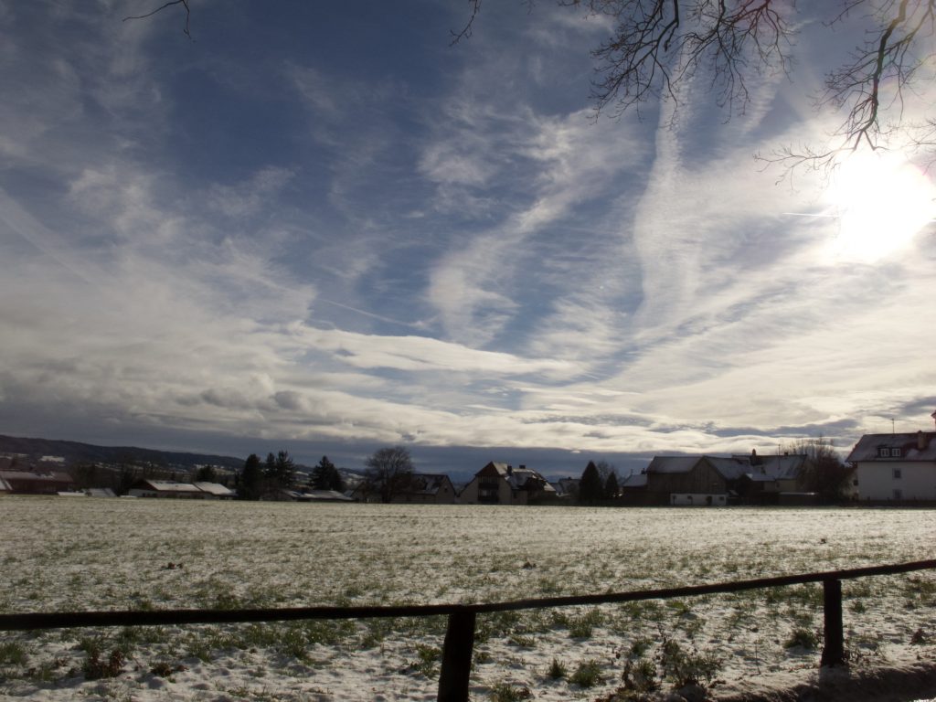
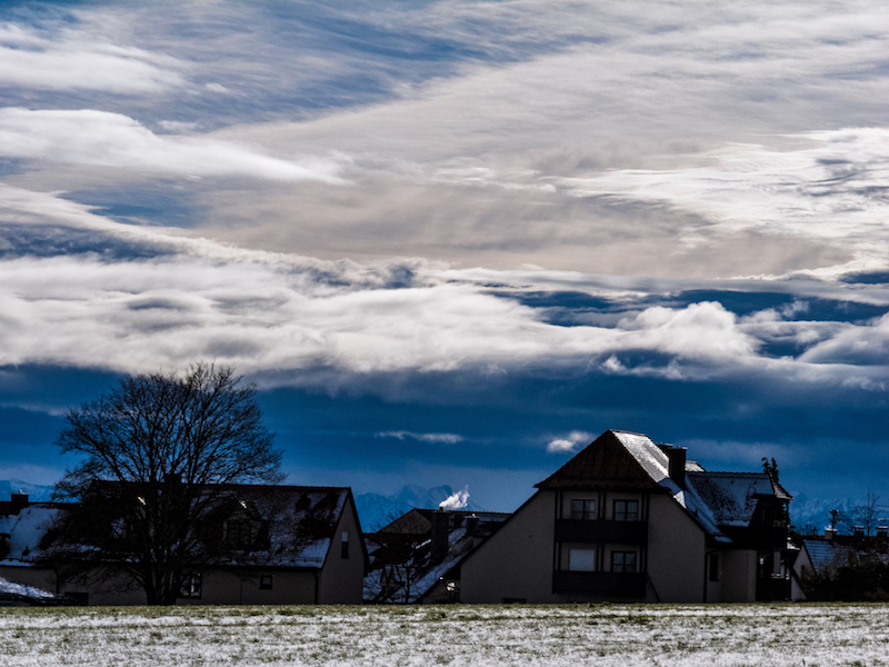
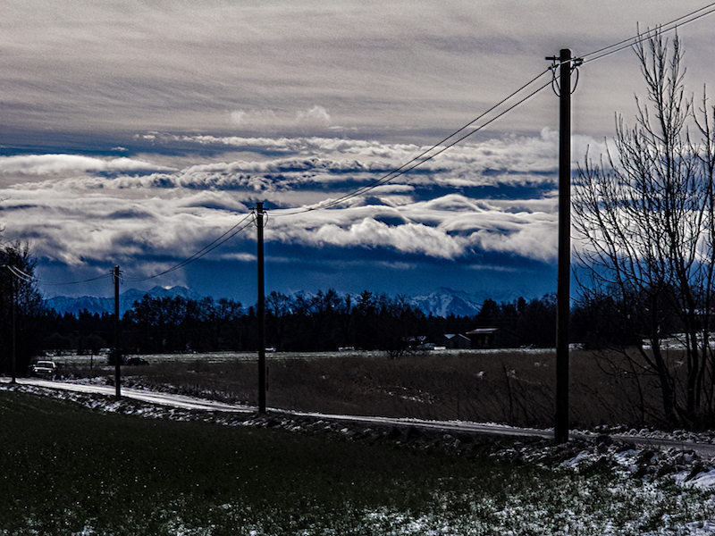
A few days later huge clouds could be seen before sunset. In the west, the sun illuminated the clouds in red and yellow. This was only visible for a short time. The tops of the clouds were shining in bright yellow for some time. As the lower parts of the clouds were in shadow and appeared in dark colours there was dramatic contrast.

Since conditions how the clouds are illuminated are changing sometimes quickly it is important to act very fast. Therefore it is good to wait at a view-point which is already familiar before sunset and not wasting time with looking for the right position.

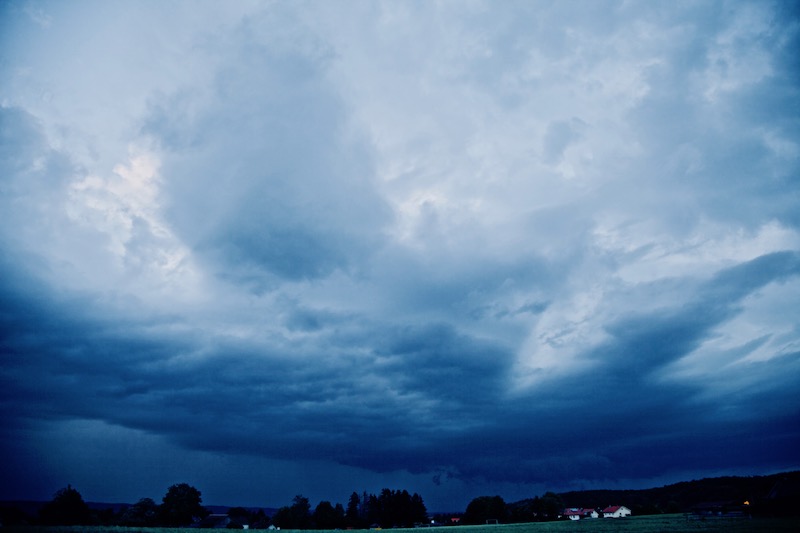
For one evening there was already an autumn air. It was a bit colder and the scenery with the low hanging dark clouds created that impression. This is not unusual in Middle Europe in Mid-August. But this year’s extreme weather conditions led to a quick return to typical hot summer weather. The drought meanwhile is causing dramatic damage. More and more researchers say that 2018 is an extreme never seen before. 

Filming clouds and thunderstorms during sunset: There is a particular challenge when doing videos. If possible shut down all automatic functions and set speed, aperture, ISO manually, since the camera will automatically adjust to changing light conditions and causing unwelcomed “jumps”(video getting suddenly brighter). Videos are a lot of try and error since no weather situation repeats itself exactly in the same way. Every shot needs different adjustments.

Aktivieren Sie JavaScript um das Video zu sehen.
https://youtu.be/r7jZ9423ojE
Thunderstorm In August After Sunset. Interesting cloud movement in the lower half of the picture.


A Waterfall In The Sky: Thunderstorms In May And Fallstripes

May is often a time in the year of short-lived thunderstorms and some cooler rainy days in Middle Europe. However, since some years there is also more severe weather with flash floods and even tornados in May. 2018 had been particularly unusual with new temperature records in April. It was too dry in many areas and it still is. A big problem is that it seems that steady rain is missing more and more. Long lasting rain was a common weather pattern every year which wasn’t very amusing for tourists but important for nature and farming. That changed. As predicted by climate change researchers we have more showers and thunderstorm with extreme flooding now.

When I was younger I remember May not as a very warm month. In some years there was still a lot of snow in the mountains. Often it was very cold in the middle of the month. But this year it was more like midsummer rather than spring.

In Southern Germany, the dry period ended to a certain extent and more and more showers and thunderstorms happened.

The first thunderstorm in my area close to lake Ammersee in Upper Bavaria developed on early evening May 12.

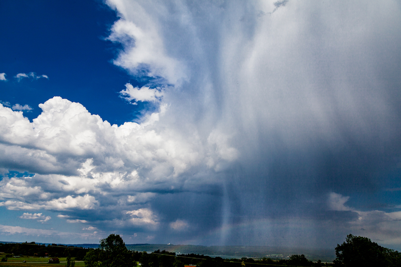
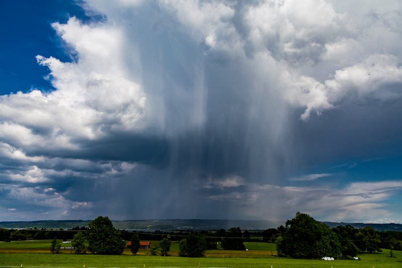
It was very impressing because of the late sun which illuminated the clouds and rain at a low angle. May is a good time for taking pictures of thunderstorms because often the light is better as in July and the air is often more clear. Furthermore, it is a good time to photograph fall stripes of rain which look like curtains and can create very interesting patterns.

The following days more thunderstorms occurred. Weather forecasters had a tough time during May. A couple of time stable, warm weather was predicted. But weather doesn’t behave like it was supposed to be. On Pentecost, May20+21, it should have been warm and dry but there were thunderstorms and showers. May 20 indeed was a surprise, because that “summer day” was more or less a dark day with a heavy thunderstorm and flooding in a village between Murnau and Garmisch Partenkirchen. Already on May 18 an open-air event had to be cancelled due to a thunderstorm in Fürstenfeldbruck, a city not far from Munich.


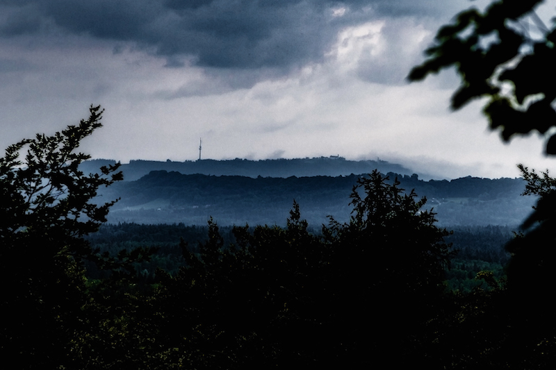
This is what Sunday, May 20, happened: In the afternoon the sky was loaded with dark clouds and rain. There were also shrouds of mist surrounding the Hohen Peissenberg, which can be seen in the background. Some lightning could be seen in the South. In the evening the weather calmed down.

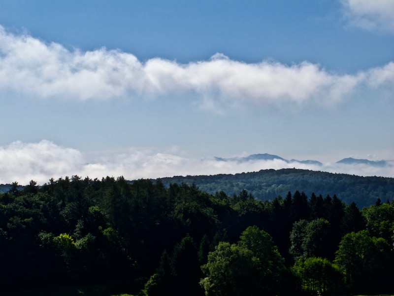
Morning, May 21, began with a misty sky. There was a low hanging layer of mist between the mountains an the lower areas. The mist soon disappeared and the sky became clear:
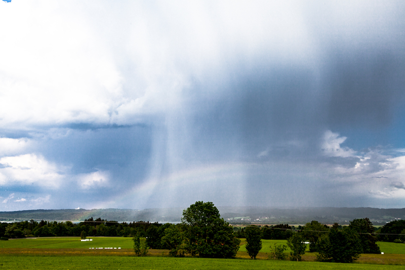
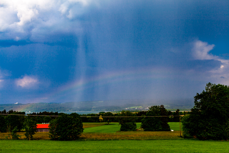
The air was still humid and the sun was hot. Perfect conditions for the development of further thunderstorms. In the late afternoon, a thunderstorm cell moved towards lake Ammersee. It was very interesting to follow this thunderstorm since there were fascinating patterns of fall stripes. Furthermore, there was also a rainbow.

It was remarkable that this year in May the thunderstorms were often moving in unusual directions. Sometimes there were moving from South-East to South-West or from North to South. Mostly weather systems are moving from West to East. An unusual constellation of pressure systems in Europe was one reason for the long dry period and the further development.

The thunderstorm on May 21 was coming closer for some time but then stopped. Perhaps the huge lake had an influence. It happens often that lakes are influencing local weather.

In this case, it was again good to know some viewpoints in the area before. It made it easier to follow the weather pattern.

The higher position was particularly helpful to see the rainbow which developed during the thunderstorm.

The rainbow was barely visible for some time but then intensified.

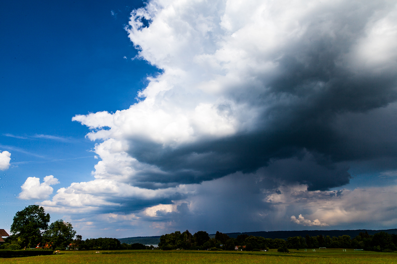
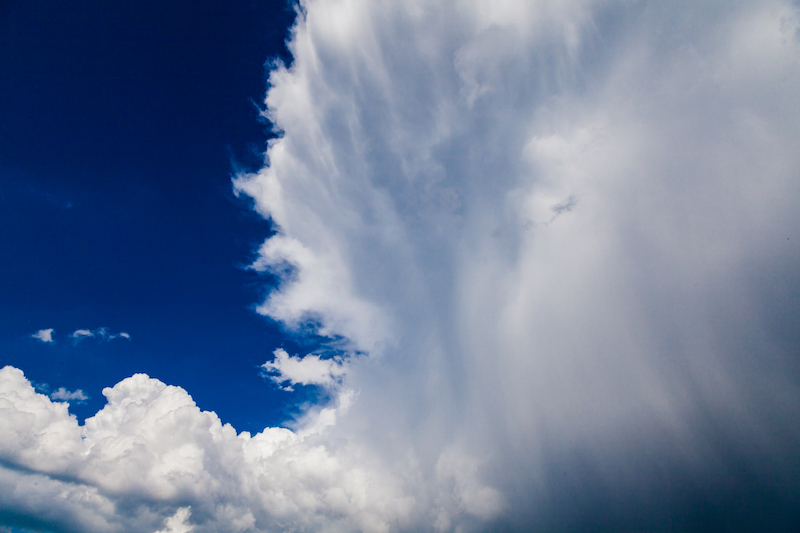
However the most special thing was the development in the upper part of the thunderstorm-cloud.

There were not only fall stripes below the cloud but in this case, it was clearly visible that rain came from the upper levels.

It was indeed like a “waterfall” in the sky.

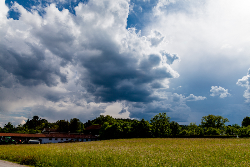
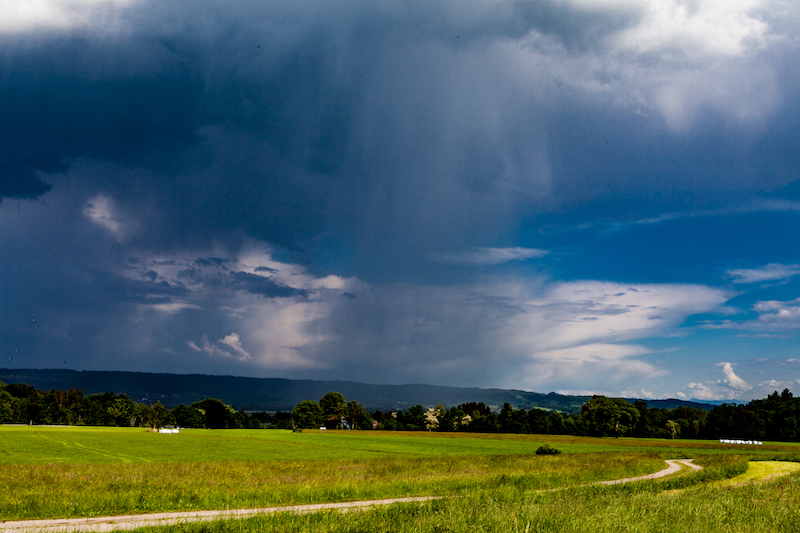
The unstable weather continued.The title picture was taken a few days later, May 24.

There were further dramatic events in the middle of Germany with flooding. There was also a tremendous portion of hail in some places.
KelbyOne. Get better at landscape photography.

January 16-18: “Friederike” Strongest Winter Storm In Germany Since Kyrill

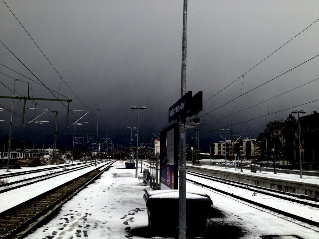
After a calm but grey weekend and a calm Monday, the wind freshened up on Tuesday, January 16. On Tuesday morning there was a turbulent sky with fast moving clouds in Southern Germany. There was rain in the afternoon. But on the next day with the public in the wake of Winterstorm Friederike, which was announced to arrive on Thursday, weather in many parts of Germany was getting extreme. Already in the night, there had been accidents due to winter-thunderstorms.

In Bavaria, Wednesday morning started still relatively calm but in Southern Bavaria around the lakes and in the South-West it was already day when it looked like the night would fall again at 8.00am in the morning.

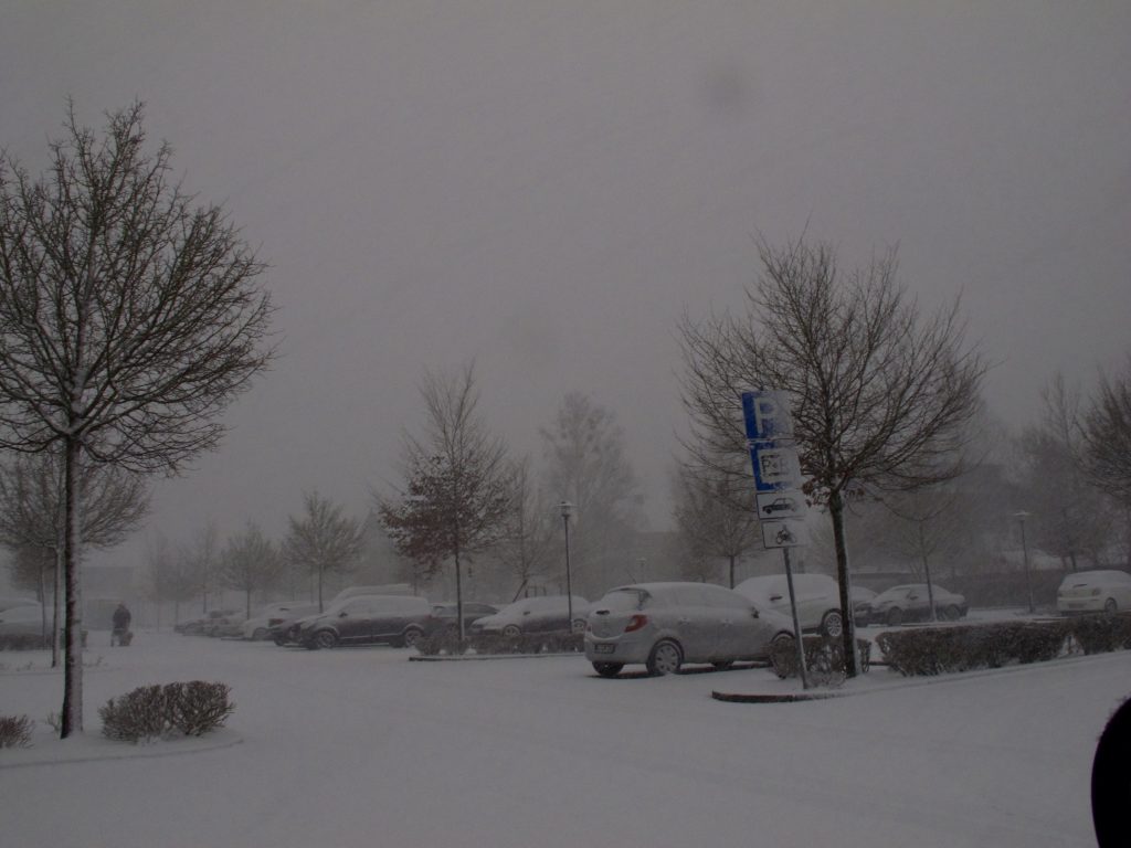
Suddenly it became darker and darker. A snowstorm set in and there was lightning and thunder. Within minutes a lot of snow fell and streets became slippery. There was also hail. After ten in the morning the sky cleared up, even the sun was shining shortly but it was a day with many more showers. It was windy all the day.


There was a bit more snow in the night. In the morning it felt warmer. Then, on Thursday, the wind was picking up speed. Storm-warnings were issued before. Weather models did still slightly differ on Thursday morning but the storm hit mostly the middle of Germany as expected. But also in Southern-Germany, there were really strong winds.

Friederike was soon suspected to be the strongest winter storm since Kyrill which was exactly the same day, on an Eighteen January. Indeed, the storm already caused many accidents and did damage even before it crossed over Germany.

In the early afternoon, there were still different forecasts if the storm would increase in the early evening hours or if the weather would calm down. Many schools were closed for the afternoon, Flights from Munich got canceled, trains were delayed. In the late afternoon, Deutsche Bahn shut down its long-distance travel.

At 4.30pm, Januar 18, the sky is mostly clear, but the wind is still very strong. Most of the snow is molten away and a brook is running down the street.

The aftermath: As the weather calmed down in the night, the news showed the colossal damage which Friederike did. Due to its extreme wind speeds, it made it into the top five of monstrous windstorms in Europe over the last 30 years.

By Peter Engelmann


Aktivieren Sie JavaScript um das Video zu sehen.
https://youtu.be/P5T0oWqGT8M

Weather Lookout Points: Solitüde, Flensburg Fjord

Between Germany and Denmark is the Flensburg Fjord (Flensburger Förde). This is a long stretched and curved bay similar to a Scandinavian fjord. It belongs to the Baltic Sea. The Fjord ends in the famous town of Flensburg, which was sometimes a Danish and sometimes a German town. There are also famous tourist spots there as Glücksburg, a small city, and Holnis, a peninsula.

The area is frequented by tourists and sailors a lot and is also a favorite place for painters. A lot of people come from Berlin in the summer. On the other side, in Denmark, there are three little islands, “The Ochseninseln”. Unlike the flat “Nordfriesland” on the west side, the surroundings of the Fjord make a more England-like landscape with its green hills and many woods.

The Fjord is also a great place for weather-watching and photography. There are many viewpoints in Flensburg, on the Danish Coastline or at the top end of the Holnis Peninsula where there is a steep bank (visitors be careful!). It’s also a great place for watching birds or sunsets.

The destinations on the German side along the Flensburg-Fjord are connected by a highway, the “Nordstraße”. There are more fantastic lookout points in Langballig and Habernis.

However it isn’t necessary to do a long car ride, there are also great places within the city-limits of Flensburg: One example is the “Solitüde”, a beach and a quarter of Mürwik on the north-east side of Flensburg. It’s very popular among the inhabitants of Flensburg. Since a long time, there is also a restaurant and a small shipping pear. It’s great for swimming as long as are not so many jellyfish around.

But even more, it’s a great place for photography. It’s worth to visit the place all time of the year. Particularly, if the tourists are gone there is a unique atmosphere.

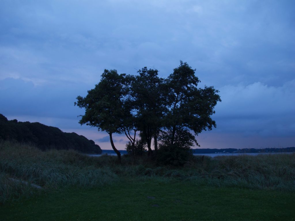
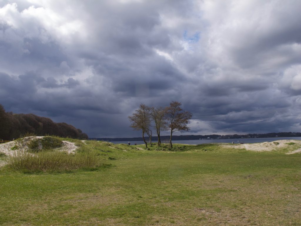
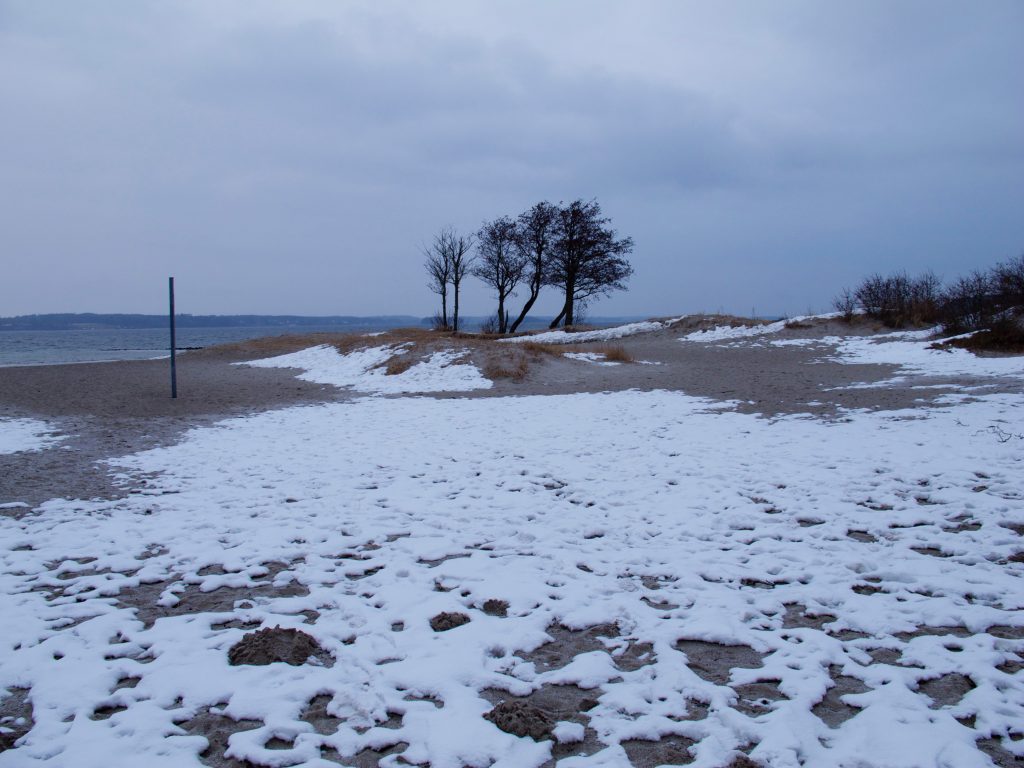
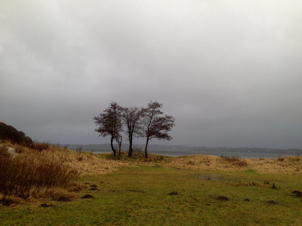
The shore consists of a beach and some meadows. Since I can remember there is a group of trees standing there. They never grew very big. They remind me always of a certain Tarkovsky-Film.

The place is an example of something which had been mentioned before: If you do weather-photography or video it’s always good to have good lookout points in mind, perhaps do an inventory of interesting places in a notebook, with their specific conditions. The Solitüde-Beach in Flensburg is a good example. It is quickly accessible and its a great backdrop. When I was there I always had been watching “great dramas” in the sky. Mostly if the wind is coming in from the North-West, it can be an interesting place.

There is wind most of the time. Weather is often changing quickly here and you have often completely different conditions within a few hours. However, it’s less extreme as on the west side of Germany’s Schleswig-Holstein with the Northern-Sea.

Contrast and color are also different most of the time as on the west-coast but there are many variations in atmospheres. The color of the Fjord’s water also changes all the time.

Even there is no tide on the Baltic-Seaside, water levels are changing too since if there is the wind coming in from the east-side it presses the water into the Fjord. Sometimes there is even flooding in the harbor of Flensburg.

If you do weather-pictures, it is useful to keep a list of landmarks and significant objects like these trees. It adds to the pictures if it’s not only clouds and some meadow and you could do a series over the years. The images with the trees below are an example.


SaveSave

KelbyOne. Get better at travel photography.