Blautopf, Blaubeuren – A Location For Romantic Legends And Fairy Tales
by Peter Engelmann, August 10. 2022
Read in German
Have you ever been looking for a motive for presenting the German romanticism in pure form? The Blautopf lake near Blaubeuren in the Swabian Alb is such a motive.
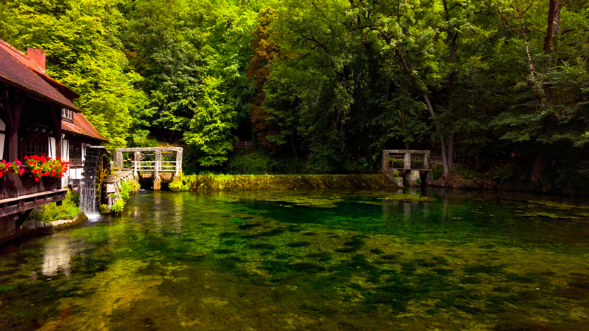
The Blautopf Lake is the second largest karst spring in Germany and serves as the source of the river blue.
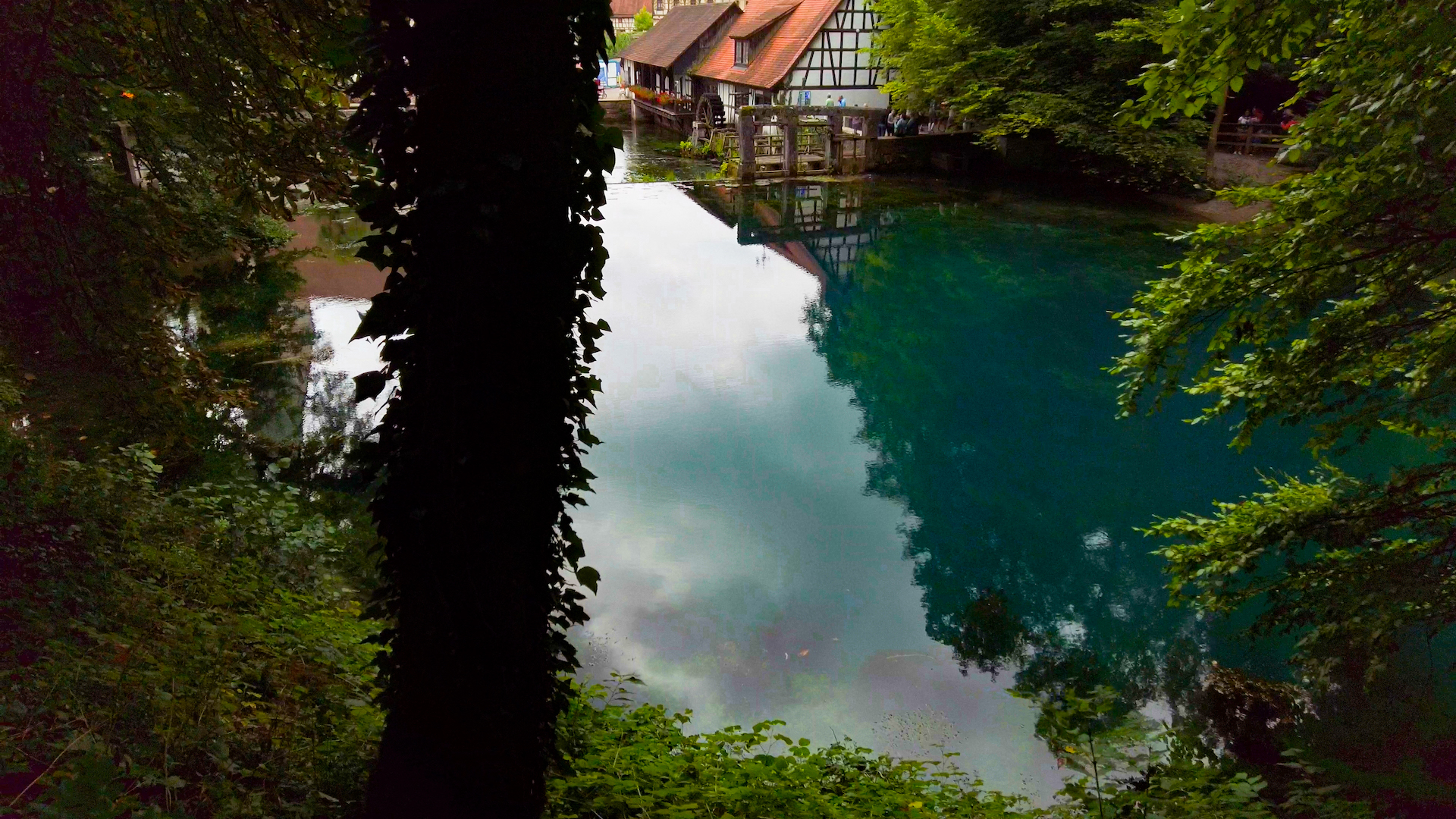
Visitors see a magical blue and green water, often changing its color. It is like a giant eye or portal to another world.
What else do we need for a romantic fairy-tale setting? Right. A hammer-smith and a medieval town. It’s all there. Across the blue lake of the Blautopf is a hammer-smith with a cafe and an information centre for tourists. Nearby is the city of Blaubeuren with a famous abbey. There are plenty of half-timbered houses.
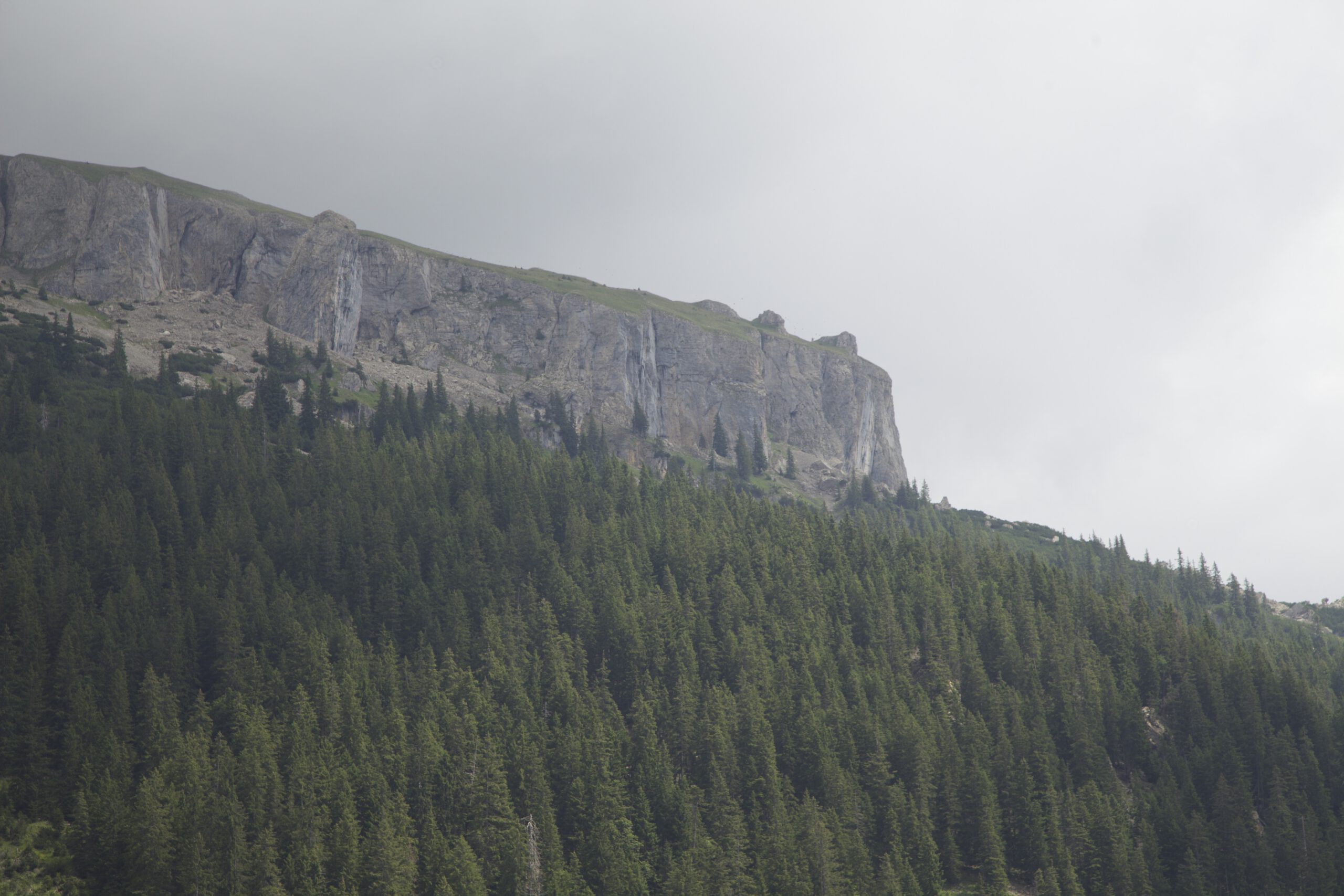
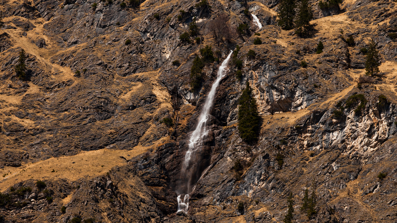
Last but not least, ruins of castles sit on the top of hills above the valley.
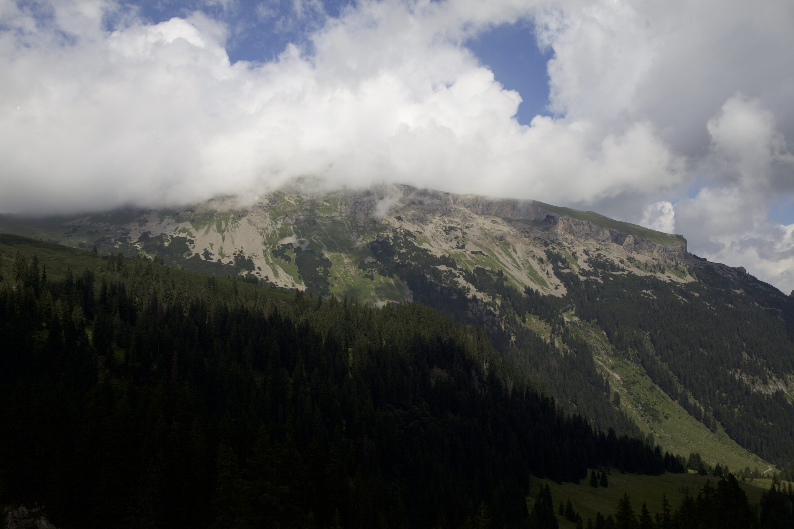
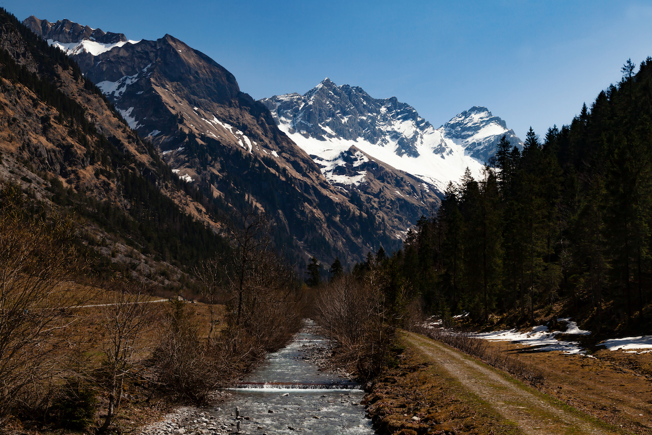
The Blautopf and Blaubeuren are in the middle of a broad valley not far from Ulm, the biggest city in the neighbourhood. It is a popular tourist destination.
Romantic Imagination
No wonder Blautopf lake has been an inspiration for many folk tales and romantic stories. Nix regularly stole the sounding line when researchers tried to make measurements.
The karst spring became prominent in the 19th century. This was the era of romanticism with writers as E.T.A. Hoffman and painters as Caspar David Friedrich.
Eduard Mörike, a famous German novelist and poet, incorporated many tales from the region in the romantic novella “Das Stuttgarter Hutzelmännlein”. It is a story about a journeyman travelling from Stuttgart to Blaubeuren. One folk legend is about “Die Schöne Lau”, a mermaid, and her husband, a male water-nix. She couldn’t laugh, and he punished her by confining her to the blue lake. In the end, the landlady of the Nonnenhof Inn came to her help.
Modern scientific discoveries in the region are often even more fantastic than the rich imagination of romantic writers.

One Of Germany’s Most Impressive Water-Cave Systems
Officially, the spring basin is 22m deep, but this is not the end. Blautopf is the end of an incredible cave system. Divers use the Blautopf lake as an entry point for expeditions into the epic cave system “Blauhöhle”. It’s indeed a portal to the other world.
Cave-diving is a dangerous sport, and there was a tragic event here in 2003. There is a society, the Arbeitsgemeinschaft Blautopf, which explores the cave system. The water cave was discovered in 1960-62. Later, researcher and diver Jochen Hasenmayer made incredible discoveries. Most parts of the cave are under water but there are huge domes, which are dry, underwater lakes and huge stalactites. Speleologists are fascinated by this secret subterran world which still holds many secrets. Til today, this is a dangerous territory and there is no access for the public. However there are amazing documentaries about expeditions into the cave system as From The Blue, Into The Dark, which are highly recommended.

Practical Guidance
The best time for photography and videography is in the morning hours during summer. This is a motive which looks better when the sun is shining. The impressive blue color is a result of the nanoscale limestone particles. They are densely distributed in the lake. The particles cause a raylight scattering effect.
You might want to consider also autumn for a visit. The trees are mostly deciduous trees. That will make a wonderful color palette with the magic blue Blautopf lake on the one side and the red and yellow colors of the leaves.
The Blautopf is easy accessible. It is a 25 minute walk from the train station in Blaubeuren. Blaubeuren is approximately 16 km from Ulm. The train ride is around 12 minutes from Ulm. Trains come frequently. Stuttgart is approx 80 from Blaubeuren. There is a huge parking space close to the Blautopf.
Having surrounded the Blautopf the trail leads straight into the medieval town Blaubeuren.