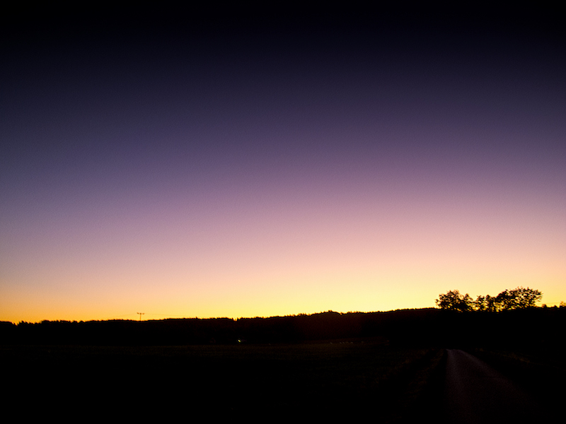
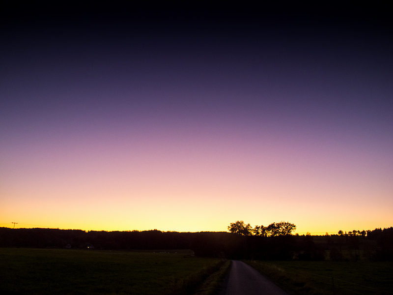
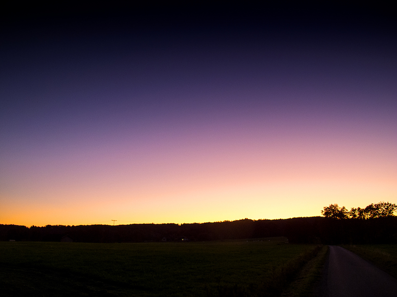
Indian Summer And Blue October Sky, October 14, 2017

New temperature records were reached between October 11-17, 2017 in Eastern Germany. There was a long-lasting period of warm dry weather as in the same time Ireland and England got hit by devastating Hurricane Ophelia.

Even there are a few new extreme weather patterns the warm weather in autumn, however, is a normal phenomenon called “Indian Summer”. A term coined in Northern America it became synonymous with the time of colored trees and warm temperatures after the first cold days in autumn. In Middle Europe often a long-lasting high-pressure system is responsible for these periods of stable warm weather. However, due to the time of the year, it’s often accompanied by mist in the morning hours.

In the alpine region, the warm temperatures can be also created by the “Foehn“. There is also another term “Golden October” when the sun shines still bright and most of all we see a brilliant blue sky.

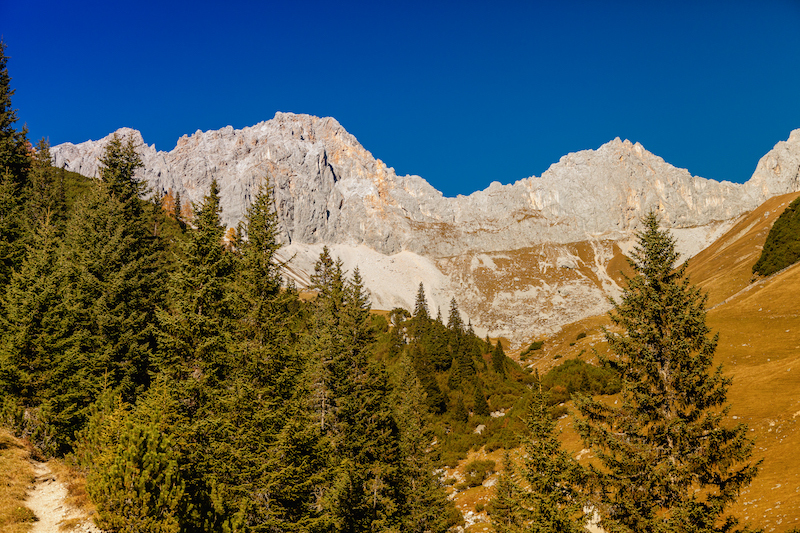
The sky is particularly impressing when going into the Alps where the sky is even bluer. The still strong sunlight bathes the mountains in a warm colored light.

This is a good time for photographers. The October sky is great for intense colors and even the days are already much shorter there are enough hours of sunshine.

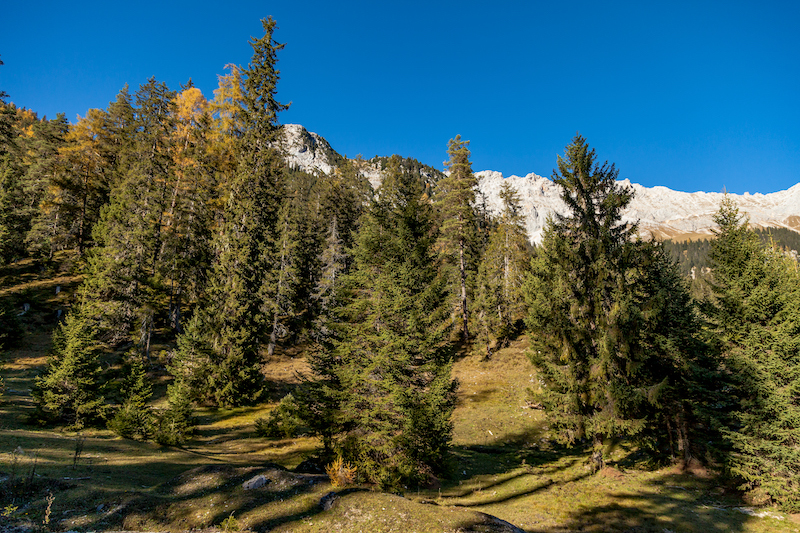
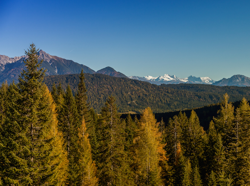
The following pictures were taken at the south-side of the “Wetterstein-Mountains” in the Leutasch valley. The most famous mountain of the Wetterstein mountain is the “Zugspitze” near Garmisch. The Leutasch valley in Austria is less crowded and a great hiking area. One trail leads to the “Wettersteinhütte”, a cozy mountain cabin. Up there, there is a great panorama of mountains on all sides at a height of 1720 meters.

/a>Stock photography by Peter Engelmann at Alamy

Hikers love October because you have this spectacular distant view. The air is not so hot and humid as in summer and you can look very far. From the cabin (The “Wettersteinhütte”) the glaciers of the Tuxer Alpen (Tyrol) were visible that day. Morning hours are often the best time, thus it’s good to start the trip very early.


In the afternoon there are soon long shadows. Strong contrast is then the challenge for the photographer. Here HDR techniques could be useful. The best thing is to shoot in RAW-Mode to have a couple of options later.

An interesting phenomenon is the dynamic of the temperature during this season and type of October weather in the Alps: In the sunshine, it can be warm like in the summer. If you walk on a trail in bright sunshine it can be hot and you’ll start to sweat. However as soon as you descend into the shadows in the valley you feel an instant drop in temperature. And it doesn’t take long to get cold.

Sometimes pockets of warm air can still be felt or there is a sudden drop in temperature. Therefore hikers and photographers need to be equipped with clothes both for warm temperatures and colder temperatures. Nights can be really cold. Indian summer is a tricky thing – it feels like summer but it isn’t.

September 13, 2017, Storm Sebastian

Germany was hit on September 13, 2017 by a deadly windstorm. “Sebastian”. The storm did a lot of damage in Northern Germany and killed three people. Also Southern Germany was affected by the storm. In Upper Bavaria the alps could be seen very clearly. T

his was similar like the “Foehn-Effect” but not necessarily the same like the “Foehn-Effect”. The “Foehn” is a dry wind similar to the “Santa-Ana” wind, the “Foehn-Effect” on the East side of the Scottish Highlands or The “Chinook”. It occurs when moist air is rising on one side of the mountains and turns into warm downslope winds on the other side. Often it is the southern side of the alps where rain clouds are climbing.

Then it can become suddenly very warm in the valleys and the countryside adjacent to the mountains on the northern side. It could be also vice versa and then you have warm weather for example in the Tessin and a lot of rain on the Northern side of the alps.


The “Foehn-Effect” can be dramatic in itself. With temperatures climbing very fast there is a sudden danger of avalanches in the alps in the winter. Also, the “Foehn” is held responsible for health and mental problems. Sometimes when the traffic for example in Munich feels crazy, drivers doing weird things the “Foehn” is said to be the culprit.

In this situation, it was basically that the windstorm came from the Southwest. In Southern-Germany there wasn’t so much rain but there was no dust thus the Alps appeared closer as they are. The next day the weather calmed down but in some areas, there were still train delays due to Sebastian.

The windstorm was predicted but it is still a challenge for weather-services to predict the exact path of a storm. On a much minor scale, it was a bit like with “Irma” which took a slightly different path of destruction. It will be a task for the future to develop even more detailed systems for weather-warnings to prevent tragic incidents as it happened due to this windstorm.

The extreme weather events in 2017 raised again the question if the weather is becoming more extreme and yes, it seems true to a certain extent. It will be especially difficult also in the future to do precise nowcasts of storms like this one. Therefore it is important that people take precautions when severe weather events like “Sebastian” are announced. One important rule is to not go into the woods.

If possible driving should be reduced and people should be on alert when driving on rural roads with a lot of trees on both sides. Usually, windstorms in Europe do not destroy whole buildings so unlike the hurricanes people are safe when staying at home. “Sebastian” was the first windstorm of autumn 2017 and likely more storm systems will follow in Europe.

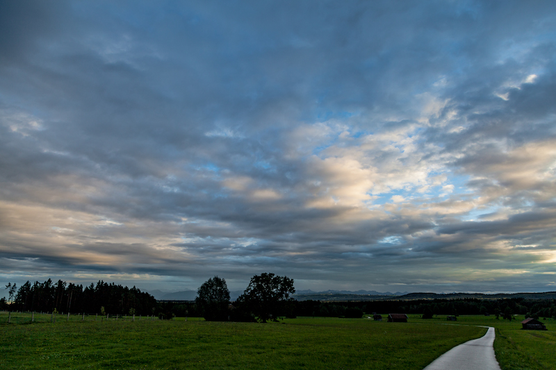
Storms happen between October and December but there is also often this “Foehn-Effect” in Bavaria or a longer lasting high-pressure system in Middle Europe. When this happens people speak of a “Golden October” due to the colors of the leaves. The “Foehn-Effect” is a chance for photographers in the alpine regions to take spectacular pictures but need sometimes a bit of experience due to the light conditions.

There is often a very bright light during daytime and in the evening the days quickly become shorter. Upper Bavaria, for example, offers many excellent viewpoints like the Hohen Peissenberg where there is an exceptional sight of the Alps.


Berlin, August 1, 2017: Spectacular Evening Sky

On August 1 again a hot air mass met a cold air mass over Germany. Subsequently, there was an air mass limit. Air mass limits are often the reason for severe weather events like extreme thunderstorms with tornados and flooding or downbursts.

(A good definition what an air mass is could be found at the UK met office:http://www.metoffice.gov.uk/learning/learn-about-the-weather/how-weather-works/air-masses.)

Severe storms were expected, the weather service also issued a warning for Berlin. In the afternoon and evening, a line of thunderstorms appeared. There was severe weather in Brandenburg and many other areas. However in Berlin after a short time of rain, the turbulent sky opened a bit and a red evening sun was illuminating the dramatically structured clouds.


Many people stopped and took pictures of the unusual weather situation. Of course, evening-glow happens a lot but this dramatic sky was extraordinary. One reason for this impressive sky is that if you have a weather situation with thunderstorms close or developing there is a chaos in the atmosphere. There are several levels in the lower and higher atmosphere with different clouds and there is a lot of circulation.


The impressive scenery lasted till it became dark. There was only a little wind and it was still very warm in the city during the night. Some sheet-lighting could be seen later but the bigger storms happened more in the South.

It was a relief after two severe storms with extraordinary flooding hit the city two times before.

But summer 2017 is very unpredictable in Europe. Two days later a very strong cell did damage in the South of Berlin and later in August Austria suffered from storms with heavy rain followed by mud-slides.

On the south-side of the Alps in Italy there are still heat-waves. As mentioned before these weather-patterns fit in the scenarios developed by scientists about effects of climate change.


There is a good-viewpoint between railway station “Gesundbrunnen” in Berlin and the well-known Bornholmer Straße. The pictures below were taken from a small bridge named “Schwedter Steig”. I had seen that bridge a couple of times when using the train. Its always useful particularly if you want to do weather-pictures to have an inventory of good view-points before, since if an interesting weather pattern occurs there is no time to search for a good place with a lot of open skies to take pictures or videos.


Berlin, July 22, 2017: The Flood Again

Again scenes looking like from Roland Emmerich’s “Day After Tomorrow”. Roughly three weeks after the flooding with lots of damage the German capital was again hit by severe weather. A thunderstorm and torrential rain hit the city on Saturday afternoon when many people were celebrating the Christopher-Street-Day-Parade. Luckily it didn’t affect much of the parade, but also this time there was a state of exception.

In some parts of the city particularly in the North and North-East but also in the South-West a lot of rain came down, and in Pankow, a storm left a trace of destruction. Trees fell on cars, the S-Bahn Linie 2 commuter train was interrupted in the North for some time, also the tracks of a street-car were affected.

Also again there was a lot of water on some streets turning them into canals like three weeks before. It’s noteworthy that often car drivers are obviously not conscious about the danger for their cars and perhaps also for themselves: if you drive into a puddle of water and the level of water is high enough its possible the water is sucked into the air filter. Subsequently, the engine could be completely destroyed. Cars could also become deadly traps if the car is drowning in a flooded underpass and the doors cannot any longer be opened.

If possible try to avoid driving when these type of flash-floods occur which are a novelty in Germany with this kind of intense rain and also the fact that we have now repeated events of that kind in shorter time-periods during summer.
<


It certainly looks like one of the predicted effects of climate change; for a long time, scientists warned of higher levels of moist air in the atmosphere during summertime. These wet air masses can lead to more extreme weather like heavy thunderstorms and extreme rain.

Obviously, it’s not yet possible to have a more precise forecast or nowcast about thunderstorms with extreme flooding. Forecasts were very precise this day about the time when the bad weather was supposed to arrive around 3-4pm in the afternoon, and there was also a warning about heavy rain, but it’s, of course, impossible to say where exactly the most extreme events do happen.

For example, the south-west of Berlin is usually less affected by severe thunderstorms as the North but there are exceptions from the rule. This time an underpass in Zehlendorf (South-West) got flooded. During the last event, the biggest mass of rain hit quarters in the west (Wilmersdorf) and a city north of Berlin, Oranienburg, where thunderstorms are more often.

Luckily the rain didn’t last as long as two weeks ago. Therefore it was another extreme day for police and fire-starters but it should be less damage as during the previous extreme weather event.