A miracle of Nature: Pink Sandstone in the Northern Vosges
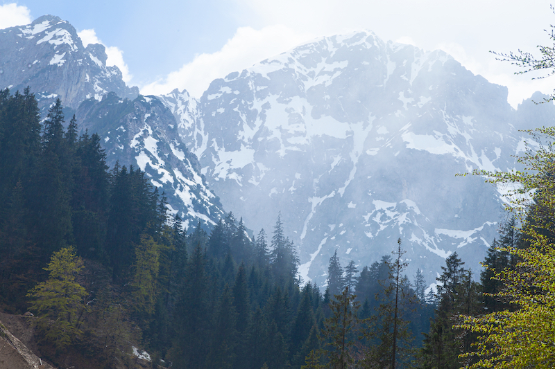
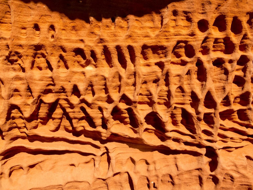
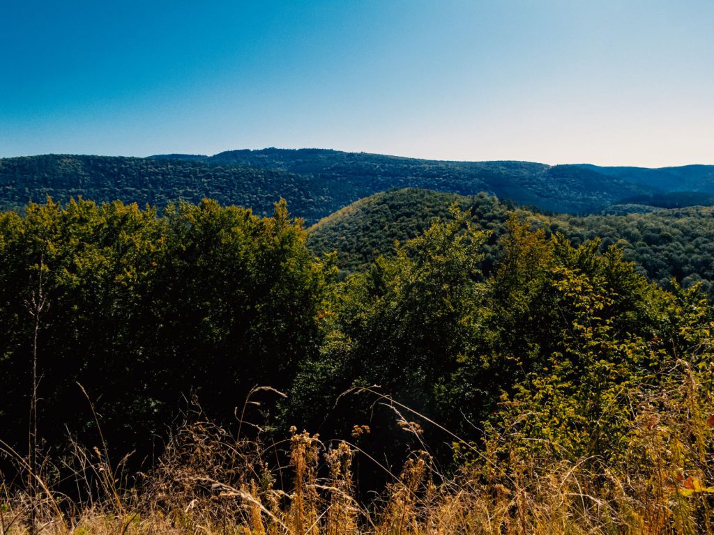
Bizarrely shaped sandstone cliffs illuminated by the sun in pink and orange: This is something which you usually expect in the US in national parks in Arizona or Colorado. However, in the middle of Europe located on the Franco-German border, there is a unique landscape with low mountain range forests, rivers, 100 castles and impressive sandstone cliffs. A landscape which was formed by wind and weather and 200 million years old: The UNESCO Biosphere Reserve Palatinate Forest (Pfälzerwald) and Northern Vosges.
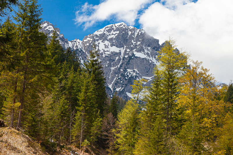
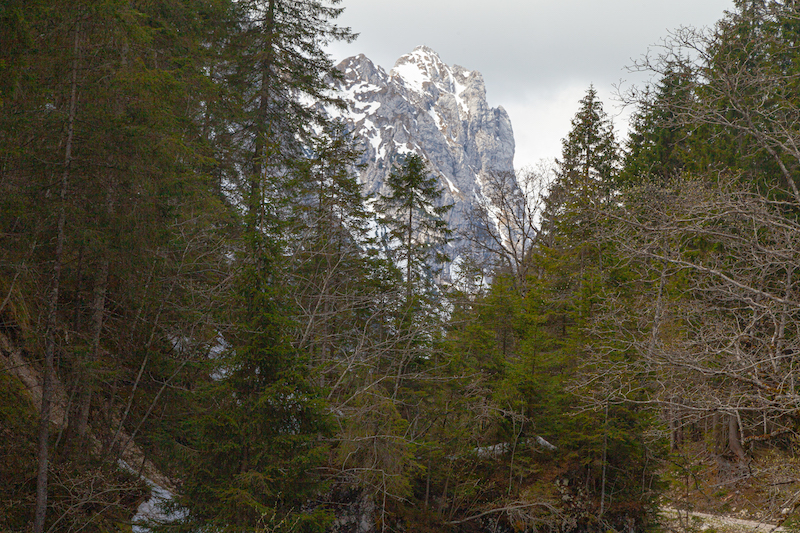
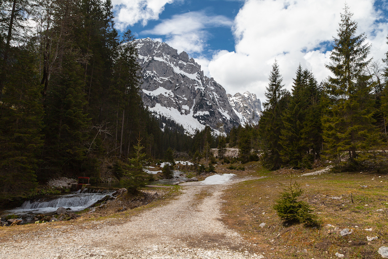
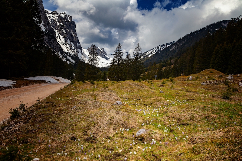
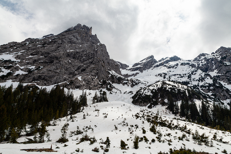
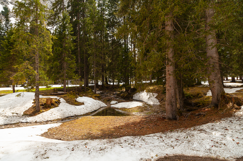
The Northern Vosges area is located west of the Rhine in northeastern France. It is not the same as the Vosges mountains or the Haute Vosges. It is the foothills just north of them in Alsace. The regional nature park of the Northern Vosges exists since 1976. It is an extraordinary region with an incredible variety of wildlife. 65% of the area is covered by forest.
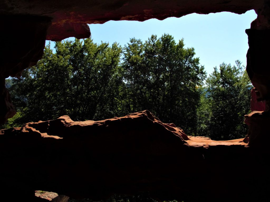
A big attraction is the castles which are often located on view-points. These are hills where you have an impressing look and here you often find this intense red-brown coloured sandstone in the French Vosges. It is a mid-grained and pebble bound sandstone which was also important for many buildings as chateaus and cathedrals. The material was formed by wind and weather. The interesting thing is that it looks always different depending on the sun and the conditions of light. It makes a great motive for any photographer. It is also of great interest for anybody interested in geology and history of the Earth. The park was winner 2009 of the Eden competition.
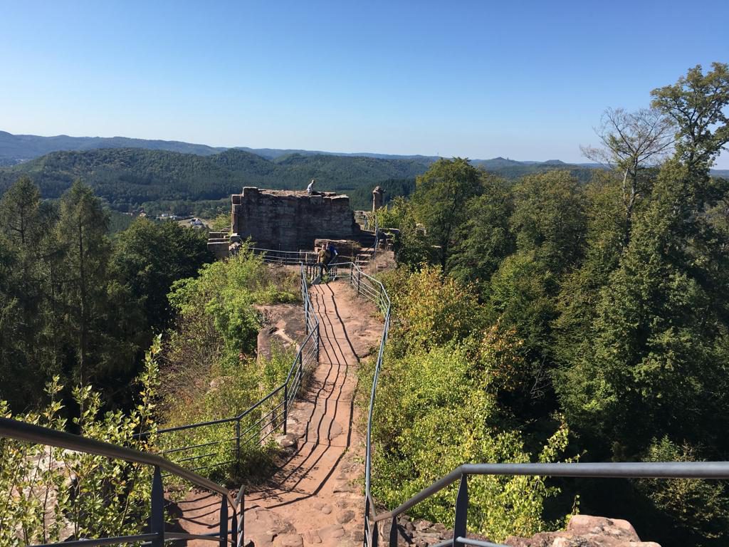
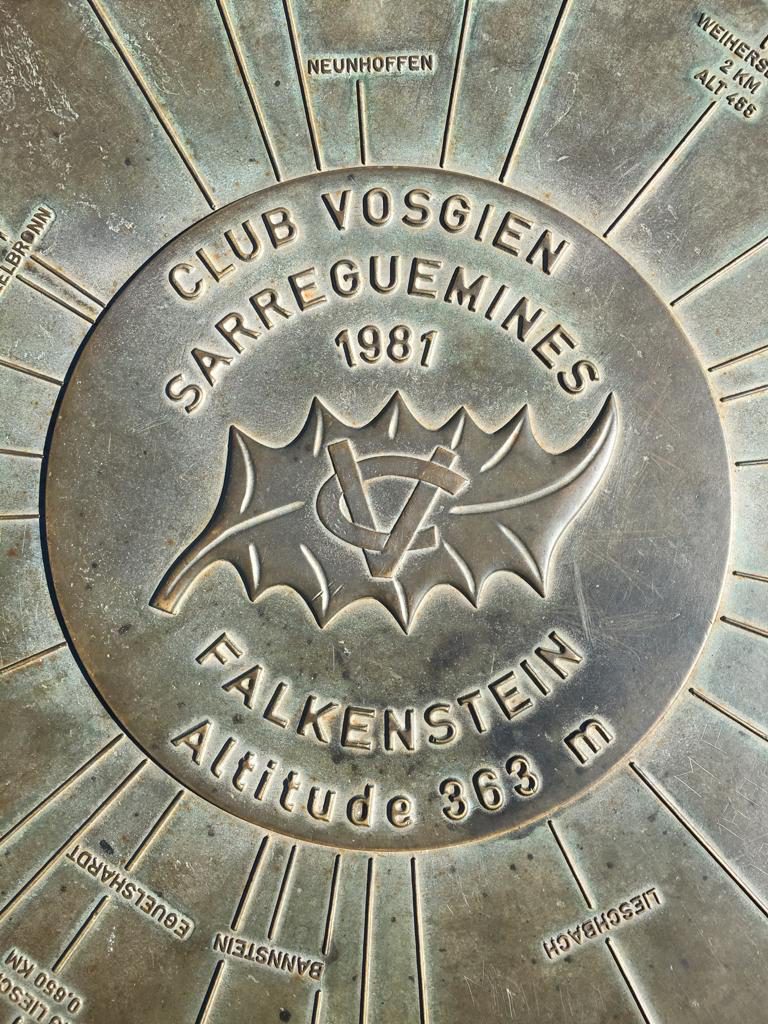
The chateau du Falkenstein is a great location: It is a ruined castle on top of a hill in the commune of Philippsborg in the Mosélle department. After a walk of 20 minutes from the parking spot, there is great view, the ruins of a once huge medieval castle and very impressing sandstone formations.
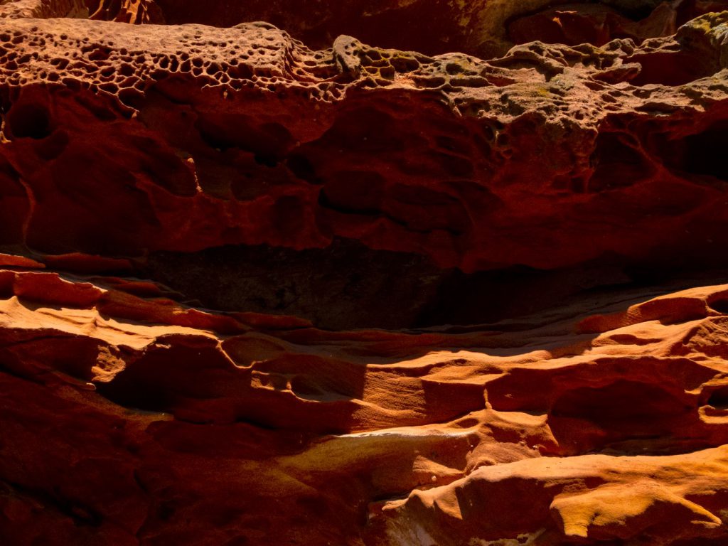
The sandstone was indeed part of the castle: The builders carved some caves and rooms in the sandstone rock. The castle was built in 1127 and destroyed in the Thirty Year’s War. However, there is still a lot to see there.
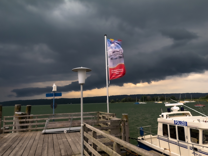
In the Northern Vosges, there is also a place they call “Little Colorado”: This is the Altschloßfelsen in Poppeviller in the Pays de Bitche, a long sandstone Riff. The German pendant of the Northern Vosges is the “Dahner Felsenland” in the Rhineland Palatinate. Tourists visiting France and this region can get information in the “Maison du Parc” in Little Pierre, a cosy village with an impressing chateau. Tourism is important here: Both the communities and other institutions like the Club Vosgien did a lot of work to inform and guide interested visitors:
Train stops are in Sarrebourg and Saverne (TGV Paris-Strasbourg). Important centres are Bitche and Sarreguemines. The Northern Vosges area is also not far from Saarbrücken. The area is great for hiking and offers long-distance trails. It is also a popular region for cycling.
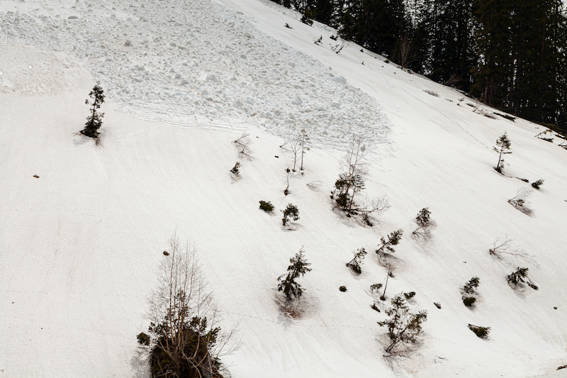
The climate is semi-continental with dry and hot summers and cold winters with a lot of snow. Like many other areas, the region suffered from the heatwaves and drought 2018 and 2019.