A Waterfall In The Sky: Thunderstorms In May And Fallstripes

May is often a time in the year of short-lived thunderstorms and some cooler rainy days in Middle Europe. However, since some years there is also more severe weather with flash floods and even tornados in May. 2018 had been particularly unusual with new temperature records in April. It was too dry in many areas and it still is. A big problem is that it seems that steady rain is missing more and more. Long lasting rain was a common weather pattern every year which wasn’t very amusing for tourists but important for nature and farming. That changed. As predicted by climate change researchers we have more showers and thunderstorm with extreme flooding now.

When I was younger I remember May not as a very warm month. In some years there was still a lot of snow in the mountains. Often it was very cold in the middle of the month. But this year it was more like midsummer rather than spring.

In Southern Germany, the dry period ended to a certain extent and more and more showers and thunderstorms happened.

The first thunderstorm in my area close to lake Ammersee in Upper Bavaria developed on early evening May 12.

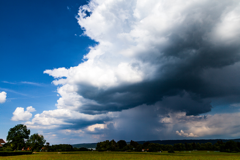
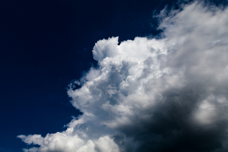
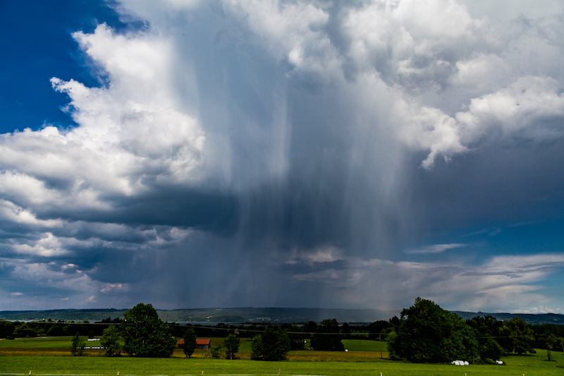
It was very impressing because of the late sun which illuminated the clouds and rain at a low angle. May is a good time for taking pictures of thunderstorms because often the light is better as in July and the air is often more clear. Furthermore, it is a good time to photograph fall stripes of rain which look like curtains and can create very interesting patterns.

The following days more thunderstorms occurred. Weather forecasters had a tough time during May. A couple of time stable, warm weather was predicted. But weather doesn’t behave like it was supposed to be. On Pentecost, May20+21, it should have been warm and dry but there were thunderstorms and showers. May 20 indeed was a surprise, because that “summer day” was more or less a dark day with a heavy thunderstorm and flooding in a village between Murnau and Garmisch Partenkirchen. Already on May 18 an open-air event had to be cancelled due to a thunderstorm in Fürstenfeldbruck, a city not far from Munich.


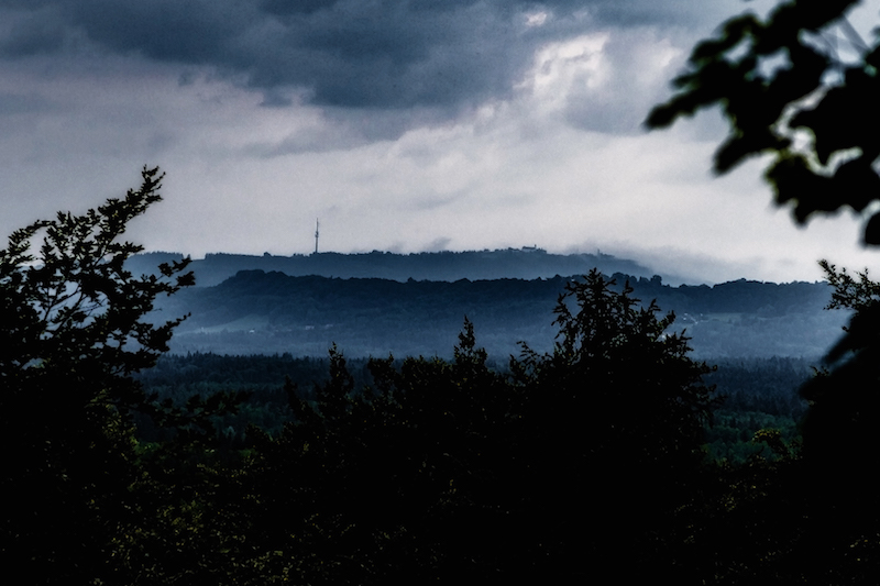
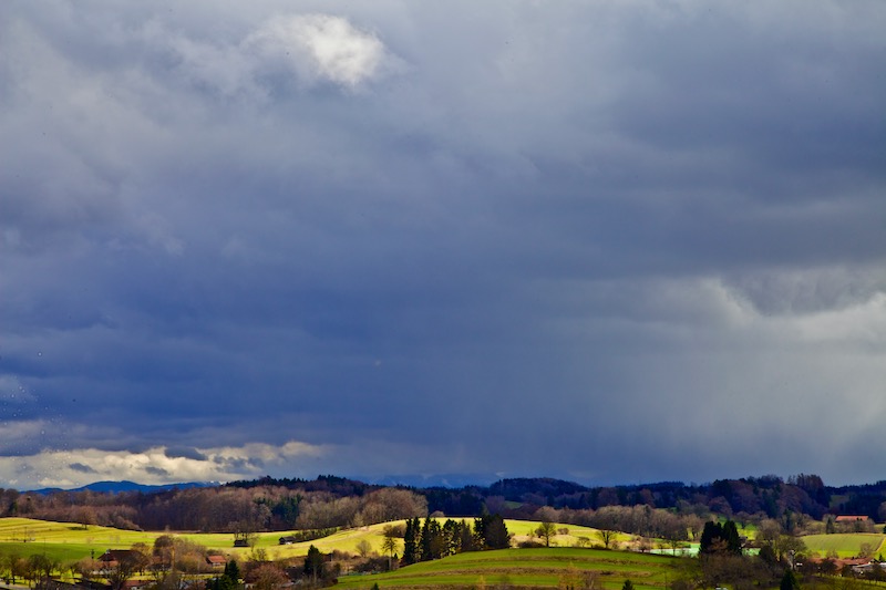
This is what Sunday, May 20, happened: In the afternoon the sky was loaded with dark clouds and rain. There were also shrouds of mist surrounding the Hohen Peissenberg, which can be seen in the background. Some lightning could be seen in the South. In the evening the weather calmed down.

Morning, May 21, began with a misty sky. There was a low hanging layer of mist between the mountains an the lower areas. The mist soon disappeared and the sky became clear:
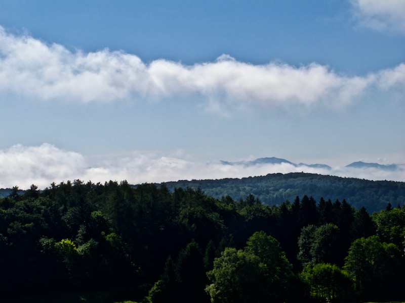
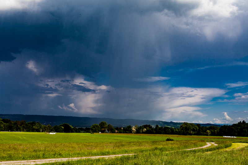
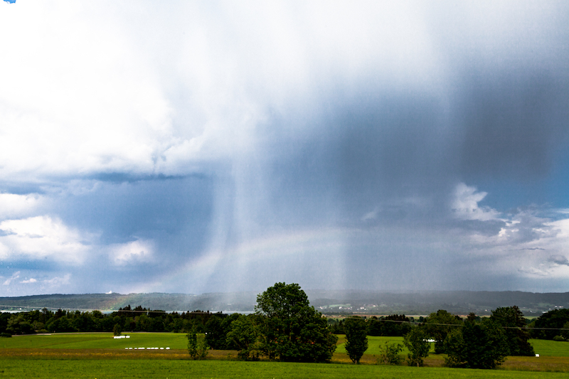
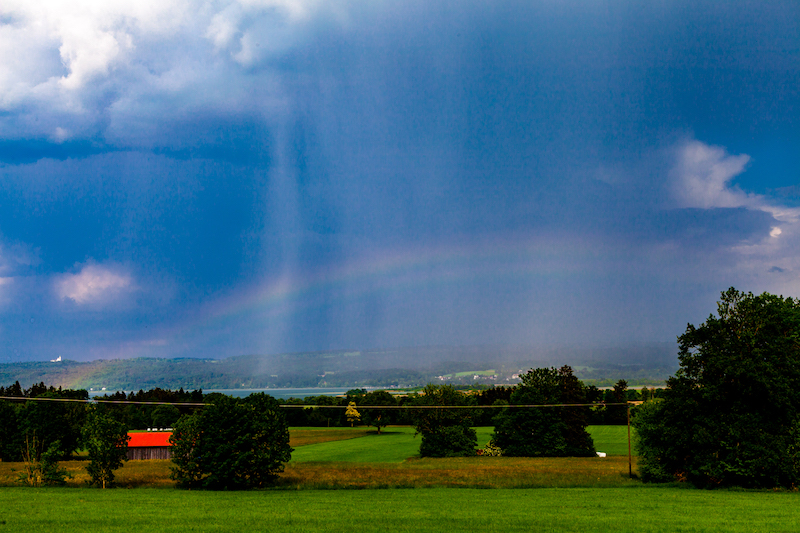
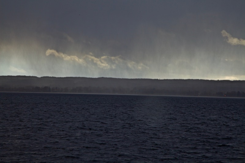
The air was still humid and the sun was hot. Perfect conditions for the development of further thunderstorms. In the late afternoon, a thunderstorm cell moved towards lake Ammersee. It was very interesting to follow this thunderstorm since there were fascinating patterns of fall stripes. Furthermore, there was also a rainbow.

It was remarkable that this year in May the thunderstorms were often moving in unusual directions. Sometimes there were moving from South-East to South-West or from North to South. Mostly weather systems are moving from West to East. An unusual constellation of pressure systems in Europe was one reason for the long dry period and the further development.

The thunderstorm on May 21 was coming closer for some time but then stopped. Perhaps the huge lake had an influence. It happens often that lakes are influencing local weather.

In this case, it was again good to know some viewpoints in the area before. It made it easier to follow the weather pattern.

The higher position was particularly helpful to see the rainbow which developed during the thunderstorm.

The rainbow was barely visible for some time but then intensified.

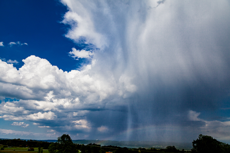
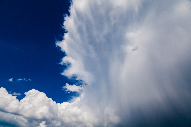
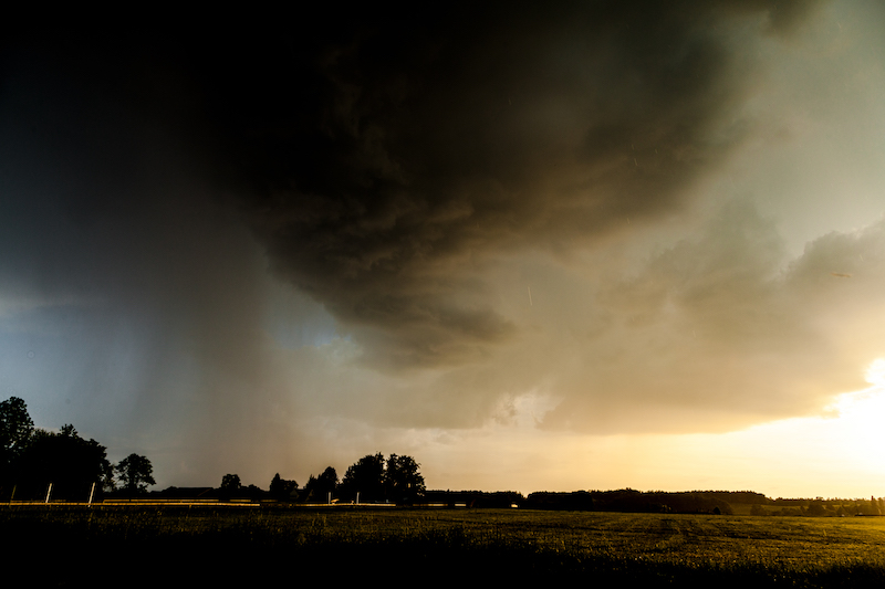
However the most special thing was the development in the upper part of the thunderstorm-cloud.

There were not only fall stripes below the cloud but in this case, it was clearly visible that rain came from the upper levels.

It was indeed like a “waterfall” in the sky.

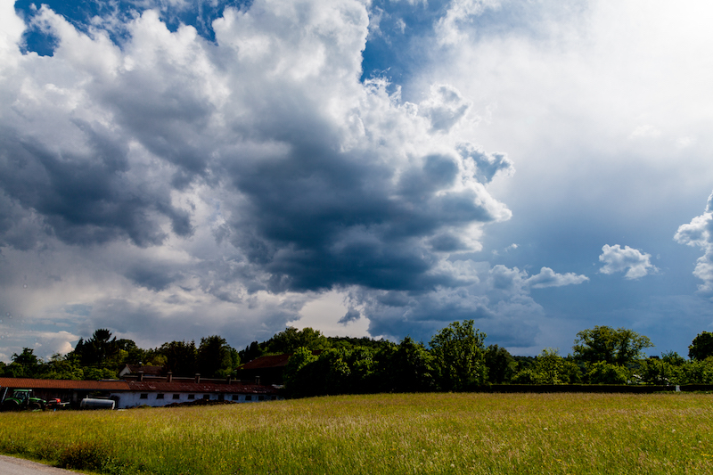
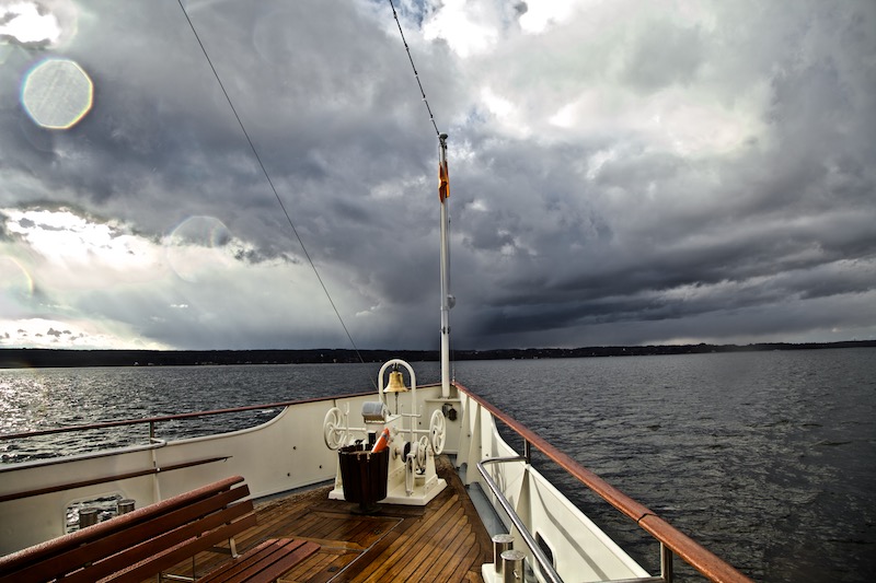
The unstable weather continued.The title picture was taken a few days later, May 24.

There were further dramatic events in the middle of Germany with flooding. There was also a tremendous portion of hail in some places.
KelbyOne. Get better at landscape photography.

April Weather

April weather has a certain reputation. It is often non-predictable. The German term “Aprilwetter” means usually a rapid change between sunshine and rain. It means a day with a lot of showers and sunshine. But April weather is also about extremes: It happens a lot that winter returns with snow and frost as last year (2017). In some years there is also a first heat wave. I remember years when people in Berlin went swimming in the lakes in April.

Such a little heat wave has happened currently in Middle Europe. However, it seems that this year “April Weather” is a candidate for new extremes: We just heard about many new temperature records in Germany (Jena 29,7 Celsius on Thursday, April 19).

But why is April weather so special? There are a couple of factors involved: In April it gets warmer but there is a difference between the landmass and the sea. The sea is still very cold. Furthermore, the Northern regions are still very cold. At the same time, it is already very warm in the South (Southern Europe, North-Africa).

Typical “April weather” happens when cold air from the Northern Atlantic and the Northern Sea reaches middle Europe and has become more an more humid. Now – over land – the air is getting warm and rises. The condensed water vaporizes and is turned into shower clouds. The whole mass of air is not stable. Since it is still very cold in the upper levels of the atmosphere there is sleet, hail, snow, and rain.

The effect is completed when cold air descends and creates larger areas of clear air between the shower clouds. This way the typical “April Weather” effect is created: a mix of showers and moments of sunshine.

“April Weather” is a normal weather phenomenon, which is a powerful demonstration of the struggle between winter and summer. Some people suffer not only because you could easily get a cold but this weather pattern also triggers headaches.

It can be also a challenge for farmers: for example, the late return of winter in 2017 led to crop failures due to frost. Fruit trees are particularly vulnerable and late frost can seriously damage them.


For photographers this weather pattern is a great opportunity: it is maybe the best time of the year to capture rainbows. Furthermore, the dark shower clouds create impressing and dramatic sceneries in the sky especially in the late afternoon, early evening or in the morning.

The pictures are taken around lake Ammersee in Upper Bavaria on April 1, 2018. During a boat trip, the weather changed between intense sunshine and a lot of rain.

Weather forecasters announced an end of the significant heatwave after the weekend, April 21-22. Then we will most probably see thunderstorms and possibly severe weather. Due to the increased risk of forest fires rain is welcomed.

A better way to learn Photoshop, Lightroom, and Photography.

February 26-28: Extreme Artic Cold In Europe

It’s Tuesday and light snow is falling. There is a pale sunlight at the same time as the sky is mostly overcast. Shortly before the begin of the “meteorological spring” winter arrived in Europe. Seen from my window the nice winter setting outside doesn’t tell about the extremes which befell Europe over the last days.

After a moderate winter in Middle Europe, a Siberian cold front reached Europe. It happened what had been forecasted in weather models days before. However, there is a surprising intensity of extreme weather these days in Europe: The UK was hit by lots of snow, and Rome is seeing snow for the first time in many years. Last night temperature was – 27 Celsius on top of the Zugspitze, Germany’s highest mountain. In Eastern Europe, there are very low temperatures and the danger increases particularly for homeless people. In Germany, there isn’t a lot of snow so far but the strong wind from the North-East makes it a bit of a challenge to stay outside for a longer time.

The blast of cold air from the artic has been already labeled: “The Beast From The East”. Scientists say that this happened due to “a freak warming around the North Pole”. They are somewhat alarmed about the retreat of Arctic ice during winter and the high temperatures. This weather pattern allowed the cold air on the other side to reach huge parts of Europe. There are now condition in Europe in some places which would normally apply to the polar region. It is not clear if global warming is causing this strange pattern or if other reasons are responsible.

However, very cold temperatures are not so unusual in February but what’s unusual is these sudden drops in temperature. They occurred also over Northern America in the last years and remind us sometimes on the “Day After Tommorrow” scenario in Roland Emmerich’s movie, even we can’t compare this to the “new ice age”.


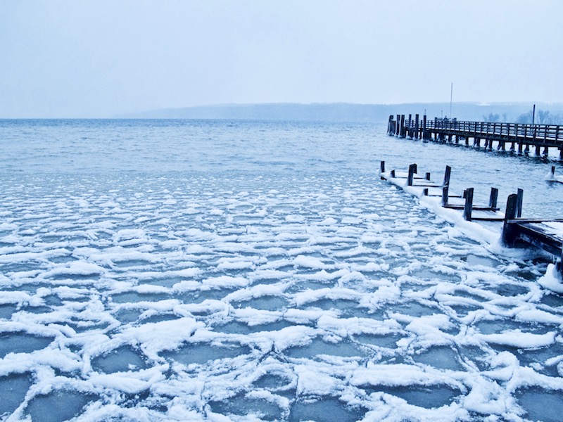
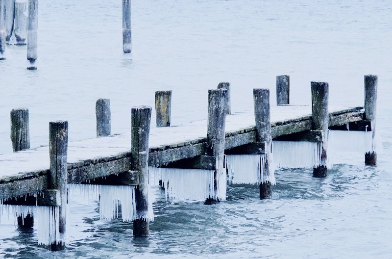
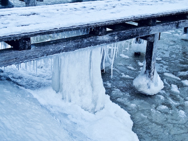
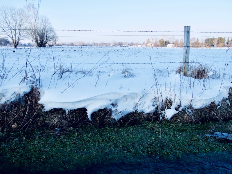
In this weather-conditions, there are many things to see. Even if there is not a frozen-waterfall nearby, wind, snow, and ice create interesting patterns or sculptures.

It is always promising to look what happens at a lake or a river. Here are some pictures which were taken at the Bavarian lake Ammersee.

Weather services announced warmer temperatures for the end of the week, but in these times we never know what exactly will happen. Thus, there is still time to do more pictures. Staying outside is normally not a big problem with the right clothes, however, some common problems need attendance: cameras and tripods get extreme cold and it’s painful if you have to take off your gloves. Batteries don’t last too long in the cold, but these problems could be handled with a little preparation, for example, do apertures settings and other settings before going outside if possible.

In the surrounding hills around lake Ammersee there are many open fields and spruces. The wind and the ice led also to bizarre formations.

KelbyOne. Learn Photography from the World's Best Instructors.


Berlin, July 22, 2017: The Flood Again

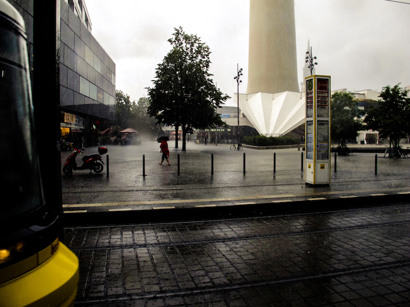
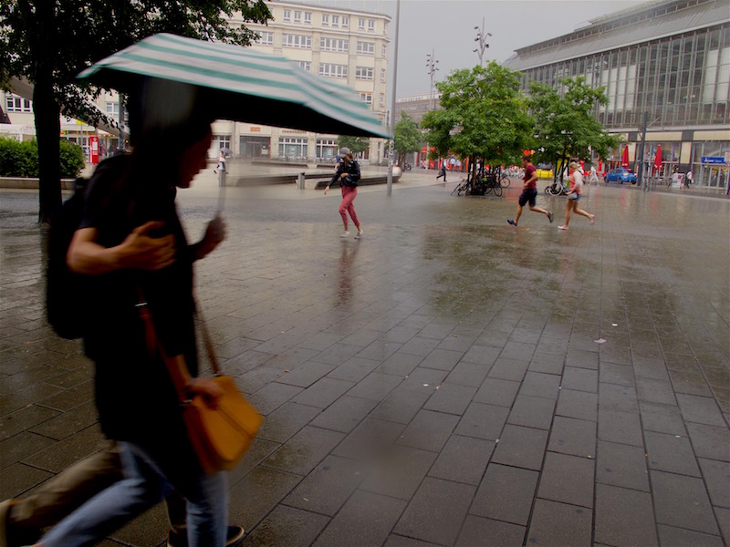
Again scenes looking like from Roland Emmerich’s “Day After Tomorrow”. Roughly three weeks after the flooding with lots of damage the German capital was again hit by severe weather. A thunderstorm and torrential rain hit the city on Saturday afternoon when many people were celebrating the Christopher-Street-Day-Parade. Luckily it didn’t affect much of the parade, but also this time there was a state of exception.

In some parts of the city particularly in the North and North-East but also in the South-West a lot of rain came down, and in Pankow, a storm left a trace of destruction. Trees fell on cars, the S-Bahn Linie 2 commuter train was interrupted in the North for some time, also the tracks of a street-car were affected.

Also again there was a lot of water on some streets turning them into canals like three weeks before. It’s noteworthy that often car drivers are obviously not conscious about the danger for their cars and perhaps also for themselves: if you drive into a puddle of water and the level of water is high enough its possible the water is sucked into the air filter. Subsequently, the engine could be completely destroyed. Cars could also become deadly traps if the car is drowning in a flooded underpass and the doors cannot any longer be opened.

If possible try to avoid driving when these type of flash-floods occur which are a novelty in Germany with this kind of intense rain and also the fact that we have now repeated events of that kind in shorter time-periods during summer.
<


It certainly looks like one of the predicted effects of climate change; for a long time, scientists warned of higher levels of moist air in the atmosphere during summertime. These wet air masses can lead to more extreme weather like heavy thunderstorms and extreme rain.

Obviously, it’s not yet possible to have a more precise forecast or nowcast about thunderstorms with extreme flooding. Forecasts were very precise this day about the time when the bad weather was supposed to arrive around 3-4pm in the afternoon, and there was also a warning about heavy rain, but it’s, of course, impossible to say where exactly the most extreme events do happen.

For example, the south-west of Berlin is usually less affected by severe thunderstorms as the North but there are exceptions from the rule. This time an underpass in Zehlendorf (South-West) got flooded. During the last event, the biggest mass of rain hit quarters in the west (Wilmersdorf) and a city north of Berlin, Oranienburg, where thunderstorms are more often.

Luckily the rain didn’t last as long as two weeks ago. Therefore it was another extreme day for police and fire-starters but it should be less damage as during the previous extreme weather event.