Epic G 5 Geostorm And Northern Lights, May 10, 2024

Peter Engelmann, May 18, 2024

On the evening of Friday, May 10,  2024, a dream for many people came true. Seeing the aurora borealis, the mysterious Northern Lights. An extraordinary solar event made it possible. Northern Lights appeared not only in  Northern Latitudes but in many places from San Francisco to Italy to Lviv.

The reason was the most intense solar storm in decades. A barrage of CMES (Coronal Mass Ejections) and Solar Flares launched clouds of charged particles and magnetic fields toward Earth. This led to the strongest solar storm within the last two decades and probably created one of the strongest displays of aurora borealis in the past 500 years according to NASA. https://science.nasa.gov/science-research/heliophysics/how-nasa-tracked-the-most-intense-solar-storm-in-decades/

NASA said this storm was so strong it was only paralleled by famous events in 1958 and 2003. The National Oceanic and Atmospheric Administration’s Space Weather Prediction Center warned about the upcoming storm because solar storms can seriously affect satellites, and power grids and endanger the health of astronauts. However, unlike the Carrington Event (https://en.wikipedia.org/wiki/Carrington_Event), no serious outages or damages were reported.

Therefore this epic geo-storm became an event for enthusiastic nature lovers, scientists, photographers, and filmmakers. Since mobile phones are more light-sensitive they show the aurora borealis better than the naked eye. Furthermore, pictures with mobile phones and posted on social media showed us the broad variety of the ever-changing otherworldly Northern Lights. 

There also is scientific value to this. The extraordinary event produced for scientists highly valuable material they will now study for years. NASA is collecting the pictures taken by enthusiasts around the globe for research (https://aurorasaurus.org/).

The storm reached the highest level G5 and happened in the midst of the most activity during the 11-year cycle of the sun. Astronomers have also been following huge sunspots for months now.

How to know if Aurora Borealis is happening?

The extraordinary G5 event triggered the interest of many.  People who missed the Northern Lights would love to see them. One way to keep informed is to check the Space Weather Forecast and its Aurora 30-minute forecast ( https://www.swpc.noaa.gov/products/aurora-30-minute-forecast) It might be necessary to do some research to properly understand the page, but there are numerous YT videos about aurora borealis out there. Please don’t compare it too much with the weather forecast. Compared to meteorology space weather forecast is relatively new and there are limited measurement instruments out there. Scientists are still learning. Thus the first thing we need to learn is a lot of patience. I also recommend reading astronomer forums on social media regularly  But how do you know an aurora borealis is happening at your place? Is it worth driving or walking in the middle of the night? I can only tell what I did: When I learned about the possibility I checked a photo-webcam side every 10 minutes on my computer. I detected the aurora borealis first on the Zugspitze-Webcam in Bavaria. You might want to watch out for webcams looking towards the North. Because in the Northern Hemisphere, you usually see them in the Northern sky and vice versa in the Southern Hemisphere.

What are the conditions for watching the Northern Lights?

Of course, it has to be dark. Not completely but you need a dark sky. May 10 was great because the moon was there but no half- or full-moon. And you need a mostly clear sky. There are also good opportunities for even very creative and impressive pictures with some clouds or a thunderstorm. But the Northern Lights don’t shine through clouds. Fog or dust doesn’t work. A veiled sky with a strato nimbus cloudscape doesn’t work.

Where to watch the Northern Lights?

People make expensive trips to Norway to watch the Northern Skies. This is not the issue here. What can you do to see the Northern Skies if they appear in your place? First of all: find a dark place. These mobile phone pictures let the Northern Lights appear brighter as they are. Nearly everyone uses long exposure times. But it is a great experience to see them with the naked eye in the first place. It is possible to see the Northern Lights in big cities, I saw the first time a red Northern Light in the middle of Berlin in 2000. But as darker as better. A field, a mountain, or a coastline is great (it is not necessary to get to a higher elevation, but of course, conditions are often better because the air is cleaner with less dust).  If you go out to the countryside a flashlight is important. Astronomers often use a red filter in front of the light, because the eyes need to adapt to darkness to see better and red light is less disturbing. Take your time to adapt to the situation. The other thing really important is a free horizon, particularly a free Northern horizon. If you have a lake nearby – perfect! Go to the south end of the lake and look to the north.

How to photograph the Northern Lights?

There are countless tutorials out there and if you are fine with the quality of mobile phone pictures it’s quite easy. Of course, a tripod or a stable position is an important prerequisite.

I don’t have a manual or guidelines, but the most important question is knowing what you want. Do you want realistic pictures or a more artistic,  impressive, maybe even psychedelic impression? Do you want just to have the Northern Lights in the frame or an interesting foreground, a special composition? The possibilities are endless. 

If you head for better quality a bigger camera is good to have. In an ideal case use a fast lens. I used aperture 2,8 to 4. Of course ramp ISO up but it’s not necessary to max it out. The Northern Lights are often strong enough and you can avoid unnecessary noise. I heard exposure times of 20-20” seconds are recommended. I did shorter (at the cost of having some noise in my image) but it depends. Remember that if you do exposure times longer than 30 seconds the stars or the moon become stripes due to Earth’s rotation. I did shorter.

What’s important is to be aware of Focus: Auto Focus in some cameras doesn’t work properly in darkness! I set the focal length close to infinite, after some unsharp pictures.

One really important setting is to shoot in RAW if possible:

There is an interesting thing about Northern Lights: White Balance. Some people say around 4000 K but I found that the Aurora Borealis is a unique light source. If you shoot in RAW you can play with White Balance, Hue, and Saturation in post-production and get the best results. I encourage you to do this and unlock the full potential of pictures.

One last tip: As the Aurora Borealis often appears fast and is constantly changing preparation of the right settings is good and do as many pictures as you can. There is a lot of variety here. The slide show shows different facets of the May 10 storm:

Aktivieren Sie JavaScript um das Video zu sehen.
https://youtu.be/RcXOJHe05ok?si=nAVtgmVDDM9vRLFU

Record Snow, Chaos, And Winter Wonderland

That was an unexpected start to the winter. Used to often warmer winters over the last years the tons of snow on the First Advent in the region North of the Alps and Austria had an American feeling of real winters in the North or simply the times before climate change, when cold winters with lots of snow were normal.

On December 1, 2023, a 5B Weather Situation and an air mass limit led to new record snowfall in Upper Bavaria. In only a few hours a thick layer of snow stopped trains and airplanes around Munich, causing over 90 traffic jams and many blackouts on Saturday, December 2.

A surprise in the morning: A thick layer of snow on the table.

There was so much snow that even on December 2, an emergency state in the capital of Bavaria lasted. One reason is that every weather event is different: In this case, the snow was wet and lasted on branches of trees. Some trees feel or parts of the trees broke apart. Therefore police and first responders had a lot of work.

It began in the afternoon hours on December 1 when the rain turned more and more into white blobs. The evening hours saw intense snowfall. It was snowing and snowing and in a few hours, the landscape was completely under a thick layer of white. That was too much for winter services to cope with.

In the morning hours of December 2, it was clear that it would take a lot of time and effort to clear streets, garages, and gardens from the mass of snow. Snowing didn’t stop before late afternoon. A cold night followed. On Sunday the weather calmed but it became even colder.

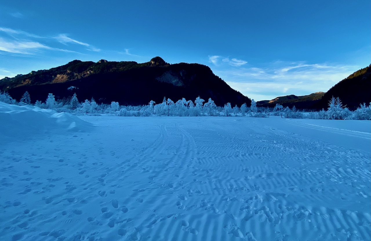
That first advent will be remembered as a true Winter Wonderland dream. Frost, the thick sheets of snow and ice created fantastic scenery in Bavaria and in the Alps.

Due to the nature of this weather event where snow often was attached to trees and other things it formed interesting sculptures.

With a little imagination, the fields were filled with strange creatures and an endless variety of forms.

Warmer temperatures and a cold night led to these interesting effects.

The trees were veiled in sheets of snow, ice, and frost. In one place there was an ice-curtain.

Here is a little red contrasting the white:

Antennas weren’t spared.

This fence had a lot of frost crystals.

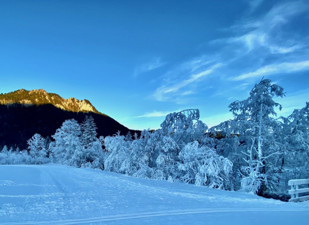
The early morning hours are the best time to capture Winter Wonderland scenery. The cold air is very clear and a deep blue sky contrasts the white trees and fields.

It is always a good idea to bring some elements into the picture that add to the atmosphere as old barns or houses.

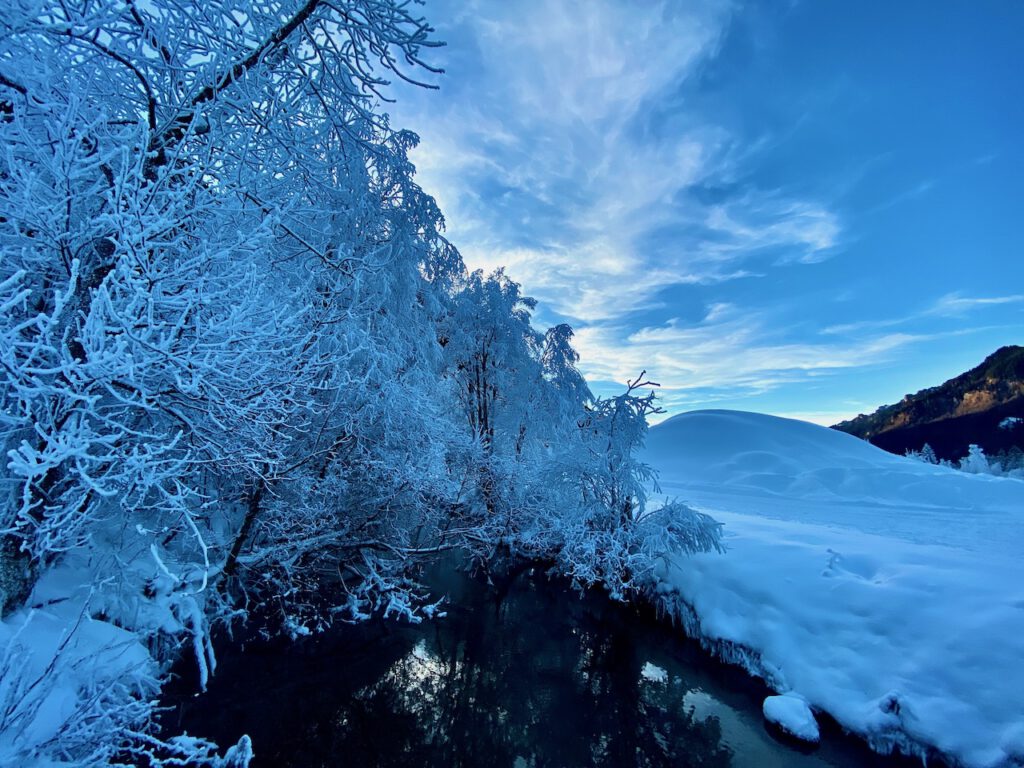
An attraction is small streams that are not yet frozen. If the water is warmer it creates often a thin veil of mist which looks great when illuminated by the sun.

THE JAPANESE GARDEN IN AUGSBURG, BAVARIA

The Japanese Garden is a dream in every time of the year. In autumn, the colors are an unparalleled firework of yellow and red. You don’t need to go to Japan to enjoy the fascination of a Japanese garden and the many motives it has to offer.

In Augsburg, Bavaria, not far from the city center is one of the most impressive and representative Japanese Gardens in Europe. Japanese landscape architect Yoshikuni Araki designed the Garden of Friendship. He created an outstanding experience with a unique setting where trees, plants, boulders, and water are in a special combination.

Water is a central element of the Japanese garden. The garden architects made use of Augsburg’s special landscape where water plays a pivotal role. There are two rivers, Lech and Wertach, and a huge number of channels in and around Augsburg, which previously helped the city to become an important industrial center. The channels, the water management system, and the industrial installations are UNESCO WORLD HERITAGE.

One of the many streams runs through the Botanical Garden and the embedded Japanese Garden in Augsburg. On one side, the water cascades over boulders and disappears under a bridge on the northern side of the Japanese garden.

The Japanese garden was built as a present for the 2000th anniversary of Augsburg in 1985. It presents also the friendship with partner cities Amagasaki and Nagahama. The friendship was initiated by Magokichi Yamaoka, president of Yanmar. There is also a Japanese memorial in the Wittelsbacher Park in Augsburg. Yamaoka intended to honor German Rudolf Diesel.

Augsburg’s Japanese Garden presents the Japanese Art Of Gardening at its best. These gardens are works of art. They present a landscape and have a spiritual quality. There are two entries to the garden and you can explore new angles that show different perspectives for hours. Uneven curved paths are a typical element and they lead you to the most interesting points. The center of the Japanese Garden is a lake (Euchi). It symbolizes the sea. Typical stone lanterns (Ishidoro) are placed at significant points. An open building (Pavillion) resembles a temple and is a great place to rest there. Tons of boulders were transported from the Fichtelgebirge, a mountain range in Northern Bavaria, to Augsburg. Inspiration for the garden came from Kyoto.

The waterfall and the boulders create the impression of a mountain landscape:

A magical place: Boulders with lichen and moss, a thick canopy, and water cascading over stones.

Trees and perennials play an important role in the Japanese garden. The typical cherry trees there and many other sorts of plants are typical for Japan. Due to the different climates, there are some compromises.

The Japanese Garden is an attractive place throughout the year. Highlights are festivities in spring and of course the interesting colors in autumn. Green, Yellow, and intense red are dominant colors. There are many opportunities for photographers here. On weekends there are many visitors in the garden. A good time is certainly shortly after the botanical garden opens.

More info is available at www.augsburg.de/botanischergarten

The Japanese garden inside the Botanischer Garten is easily accessible for a little entry fee. There is a huge parking space around and, you can get there by Bus 32 from Augsburg Hauptbahnhof. The Botanical Garden is surrounded on one side by the Siebentisch-Wald, which is a huge landscape park and forest.


Devastating Super-Cell Storms August 2023 Over Bavaria

August 2023 saw extreme weather events in Middle Europe. It wasn’t so many events, but a couple of significant storms. A number of super cells in Germany led to damage. There were some typical weather patterns in Upper Bavaria along the alps, where notorious hail-stripes are well-known, but the intensity of extreme weather was surprising.

One of the most significant extreme weather events happend on August 26 in the afternoon. Two supercells brought incredible amounts of hail in Southern Germany. A number of 123 places were affected, according to German Weather Service DVD. The separate weather systems rolling over Bavaria with a distance of 100 km. The two super-cells left a trail of destruction at a length of 130 km. The strip of hail had a width of 15 km. In that zone there was a lot of destruction in Benediktbeuern with a well-know monastery and Bad Bayersoyen. In some places hail had diameters more then 5cm, which turns them into bullets with high speed. Between the strips there was no such destruction but strong gusts of wind. The maps of the Europan Severe Weather Database deliver an impression of the two trails of destruction.

Heavy Thunderstorm on August 13 with intense lightning

Before these events, there were also heavy thunderstorms on August 13. These storms were coming from Baden-Wurttemburg. The video on the stormypictures.de Youtube Channel shows how the storm quickly intensifies. There was also a remarkable amount of lightning. The immense rate of lightning lit the sky and lasted unusually long.

There are no fundamental new weather patterns here, but what happened is what climate-researchers predicted a long time ago. A hotter and wetter atmosphere contains more energy. This energy is a precondition for stronger storms as these super-cells. And it is not only a warmer atmosphere. Early this year, researchers detected unusual warm surface temperatures in the oceans for example the atlantic ocean near Florida.

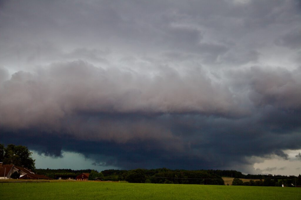
Here is the development of the thunderstorm in the early evening hours of August 13 in Upper Bavaria, close to lake Ammersee:

The late sun illuminates towering thunderstorm clouds

At first sight the huge tower of clouds looked  impressive but not as monstrous it became.

There was an incredible dynamic in the chaotic atmosphere

Within minutes the sky changes and dark clouds approached fast. In the upper half a rotating pattern appeared.

Lighting strikes came close very fast and a huge curtain with fall stripes appeared.

This storm brought intense rain and hail in some places. Later there was intense lightning.

The supercell storms on August 26 seen from a ship on a lake

There had been further dramatic weather events after August 13. On August 17 a monster thunderstorm set parts of Nuremberg in Northern Bavaria under water after a flash flood. The series of severe weather peaked on August 26 with the two super cells in Southern Bavaria and also dangerous thunderstorms in between. The pictures below were taken on a ship on Lake Ammersee. Here it was very hot and the sky was clear til middle of the afternoon. Then, dark clouds were arriving very fast. The orange flashing lights on the storm warning lights were activated. It was important that sailors headed back to harbour in time because the line of thunderstorms arrived fast with strong winds and rainfall later.

An unusual sight

Weather is always unique. Compared to the previous thunderstorms, the sky “looked” more like it was typical rain clouds. However these was a severe weather system at any place. The wind picked up very fast and the normally peaceful lake turned into a raging water with remarkable waves. Strong rainfall let the shore disappear in a sort of mist minutes after the wind gusts appeared. Later the evening, the weather calmed down. However the damage in many regions was dramatic.

Dark clouds approaching from South-West

The clouds quickly become darker.

Still some sunshine in the Alps before the super cell system arrives

It’s getting pretty dark even during the afternoon.

Gusts of storm at the westside of Lake Ammersee in Bavaria. A motor boat makes it barely into the harbour.

Aktivieren Sie JavaScript um das Video zu sehen.
https://www.youtube.com/watch?v=UVsCcEgCoa0&t=52s

What came after the storm

The super cell weather systems were the harbingers of more extreme weather in the alps. The days later there was heavy rain and a flood created more damage in Austria. On August 28 the famous Oetztal was cut off from the outer world after a mudslide destroyed the only road. Many tourists could only leave via the Timmelsjoch mountain pass. Helicopter’s brought food and other stuff into the valley.

Only days later a high pressure system brought calm and unusually warm weather in September. The super cell storms and the following devastating floods were dire reminders what living in a new climate triggered by climate change means. It means coping with a different world, less comfortable, more unpredictable and more violent. August 2023 was also one of the hottest summers on record.