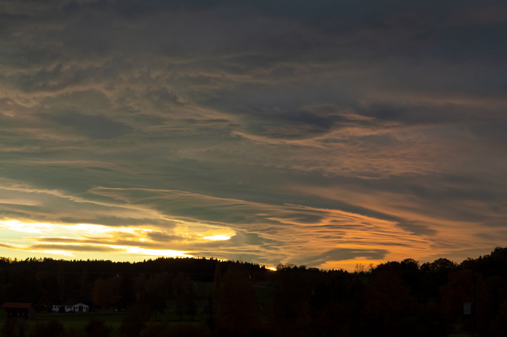
Sunset And Foehn Effect
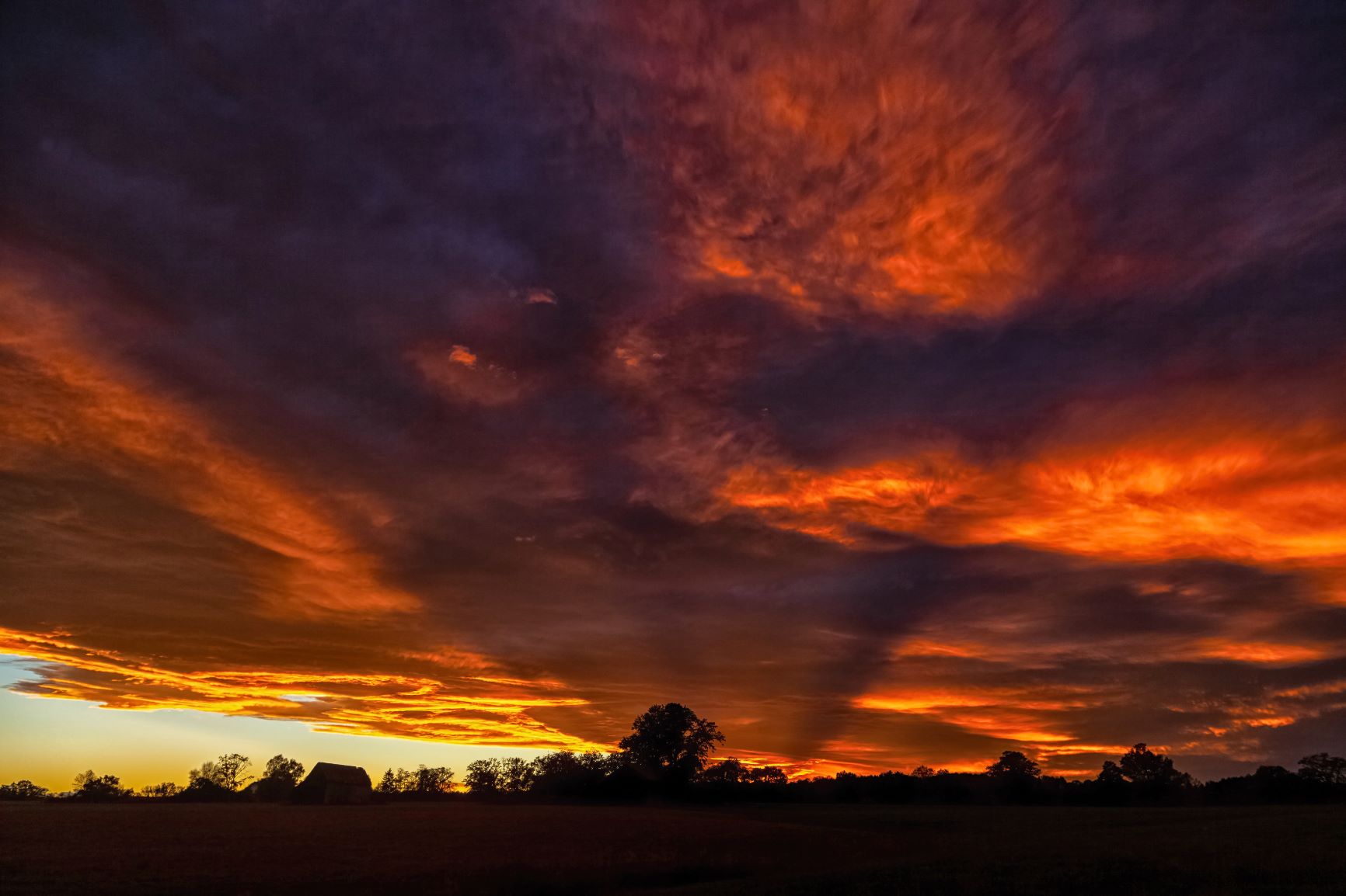
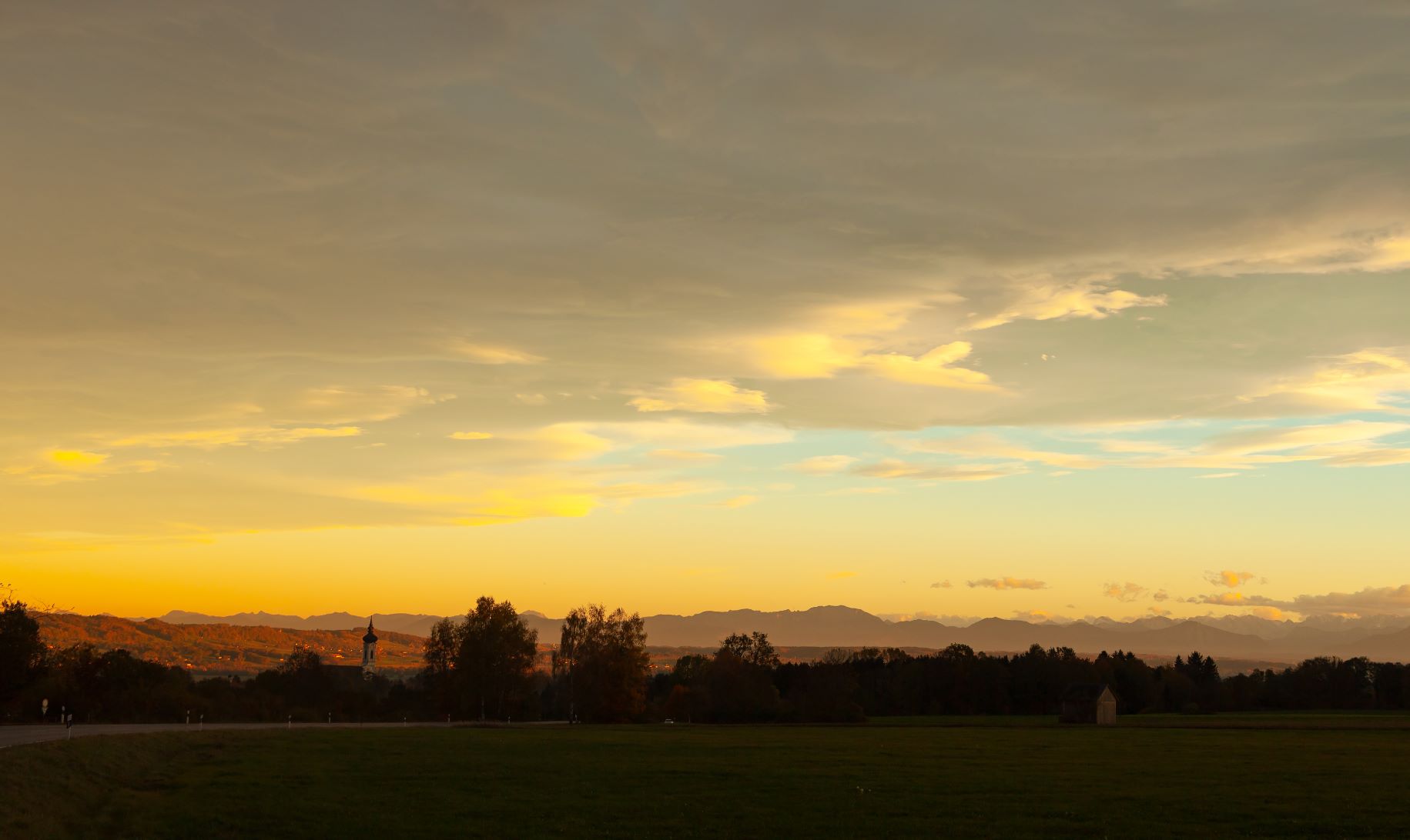
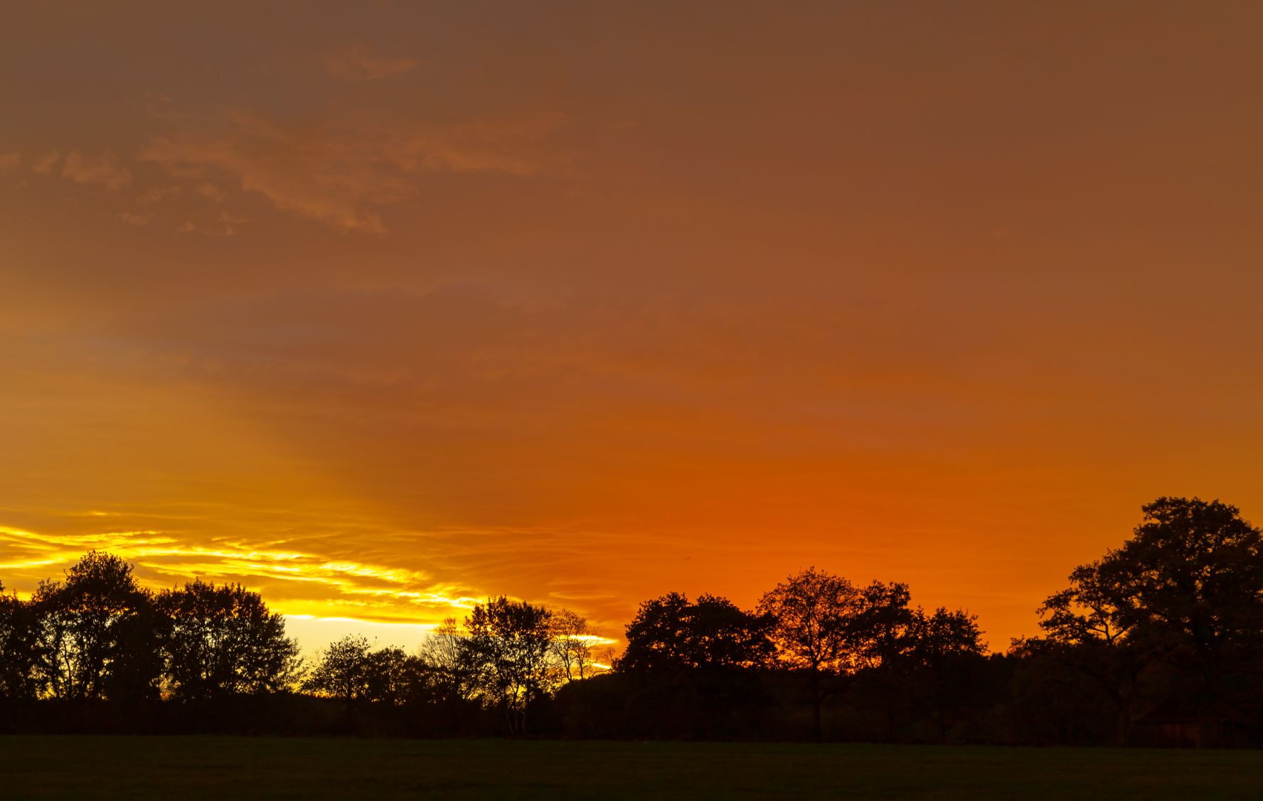
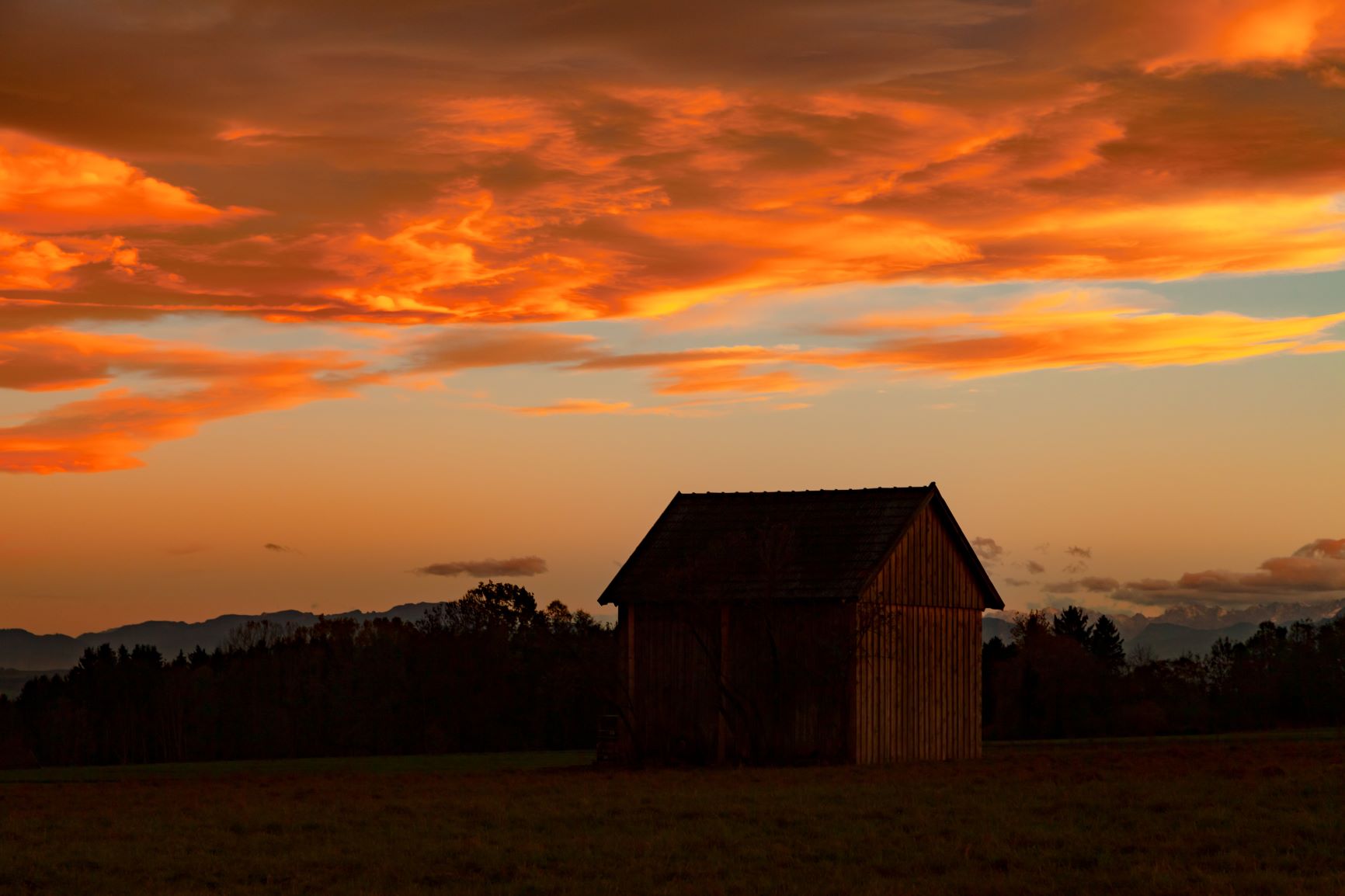
October 31, 2018 was a day with an unforgettable sunset in many places. On the eve of the Halloween night the sky was burning. Bright yellow and red colored clouds illuminated the sky. The extraordinary evening glow is a typical phenomenon in autumn.
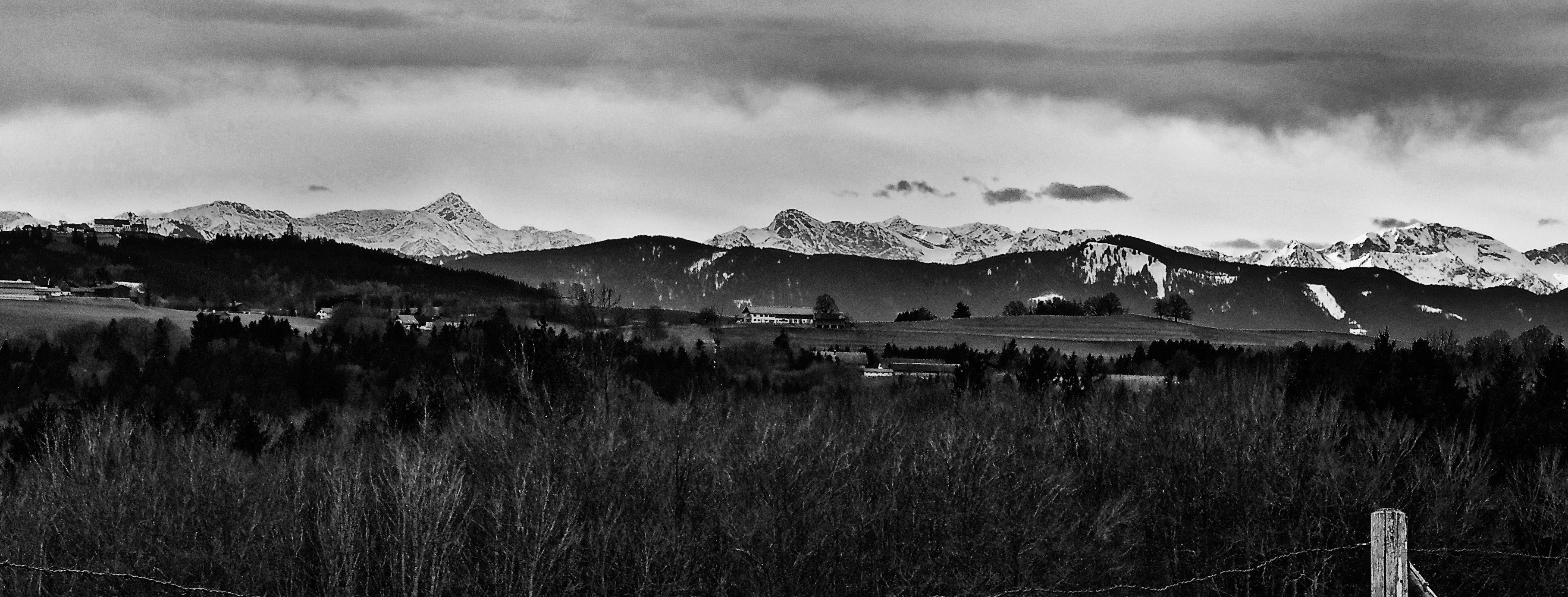
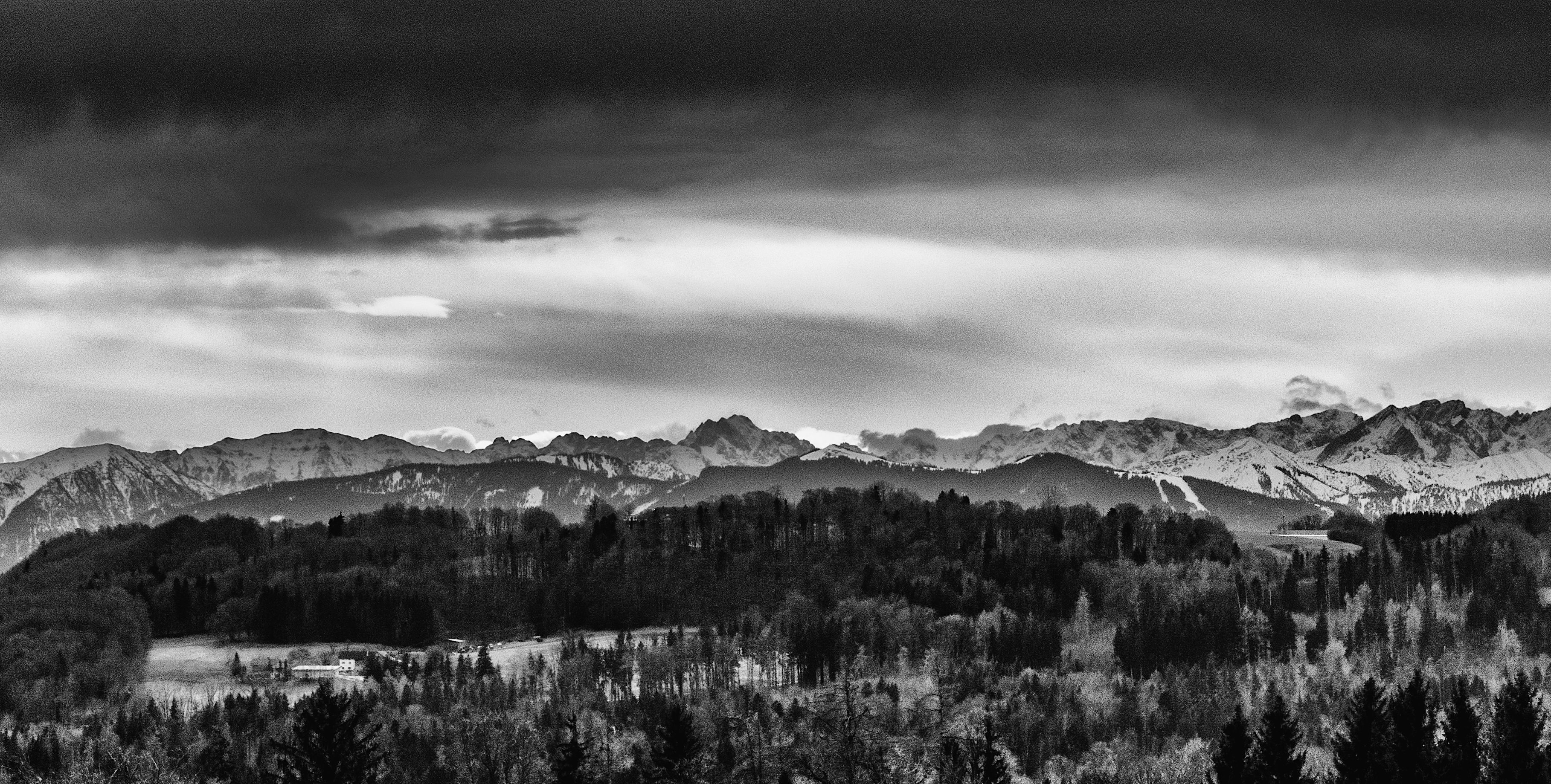
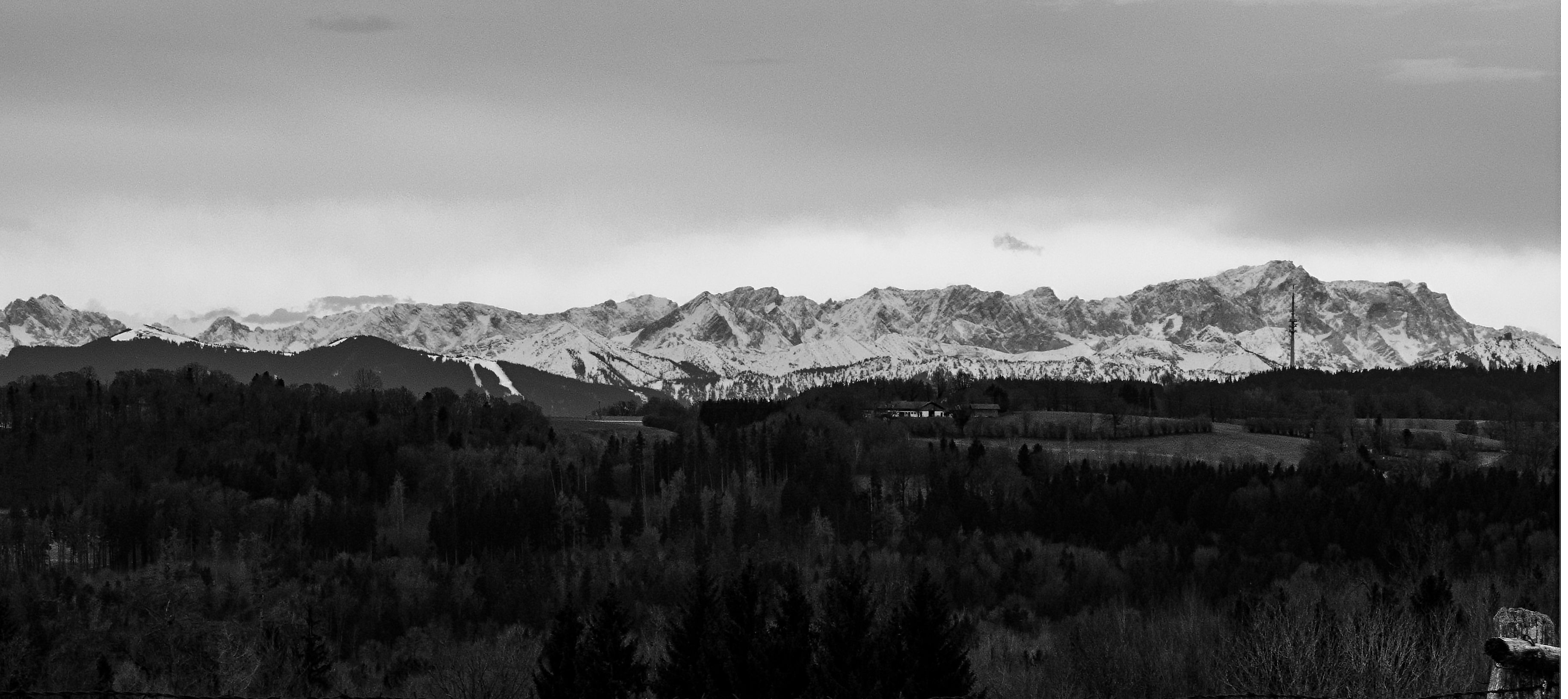
In Upper Bavaria the foehn effect delivered the perfect conditions for the fire in the sky. The Northern side of the alps was very lucky since there were normal weather conditions during that evening in a year full of extremes. These extremes still continue. The foehn effect was generated by the torrential rainfall on the Southern side of the mountains. Subsequently, wet air was rising on one side and descending on the other side.
Before that Halloween evening there were also severe weather on the Northern side of the alps in Bavaria. There was an extreme windstorm which inter-cut railway connections in Upper Bavaria. Foehn windstorms can be dangerous particular on the mountain tops and some valleys.
During the day the weather had calmed down and there were these impressing cloud patterns in the sky. The good thing was that the clouds got stopped and had not moved too much to the south. Therefore the sun appeared shortly before sunset.
These conditions happen often in autumn and also around New Year in Bavaria. This is always a good time to take pictures.
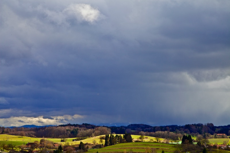
The hilltops in Upper Bavaria are a good place to watch the foehn effect. The sky is very clear and there are a lot of details visible of the alpine silhuette in the South. However, days are already short and it gets pretty fast very dark.
Unlike some so-called-weather-rules the evening glow doesn’t necessarily indicate a change of weather. The next days were calm on the Northern side of the Alps.
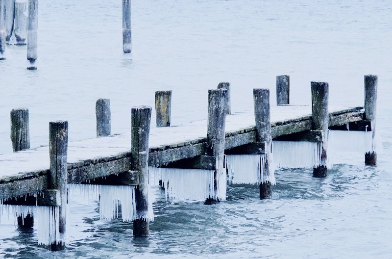
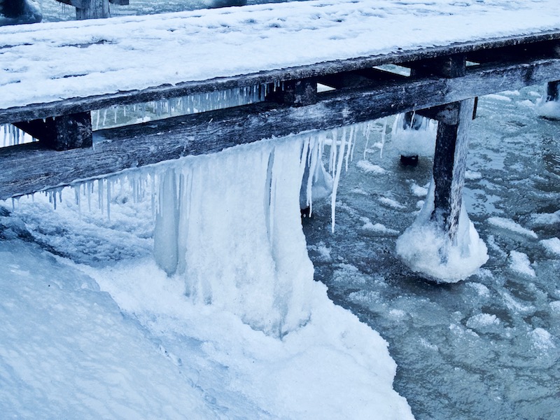
Severe weather continues in many parts of Europe. Particularly in Italy a disastrous situation due to thunderstorms and torrential rain developed. In some higher areas there was a lot of snowfall. Tourists were trapped for some time.
October 2018 was another month in Germany where the weather-anomaly continued. It is still too dry and too warm. Sunshine was above average. A new term was coined in Germany: October-Summer.
Get pictures from stormypicture.de at Adobe Stock: https://petengelmann.myportfolio.com/