Winter Storm Nadia, January 30, 2022

End of January shores at the Northern Sea and stretches in different countries were hit by winter storm Nadia. This was a low pressure system which changed weather condition in Germany after a quiet period with high pressure. Most of the days there were low hanging mist, some snowfall and lots of sun in the Alps. The weather change is not unusual for this time of the year. Winter Storm Nadia did serious damage on the island Langeroog, Hamburg and Berlin. In Langeroog the sand of a shore was swept away and what was left was some kind of newborn cliff.

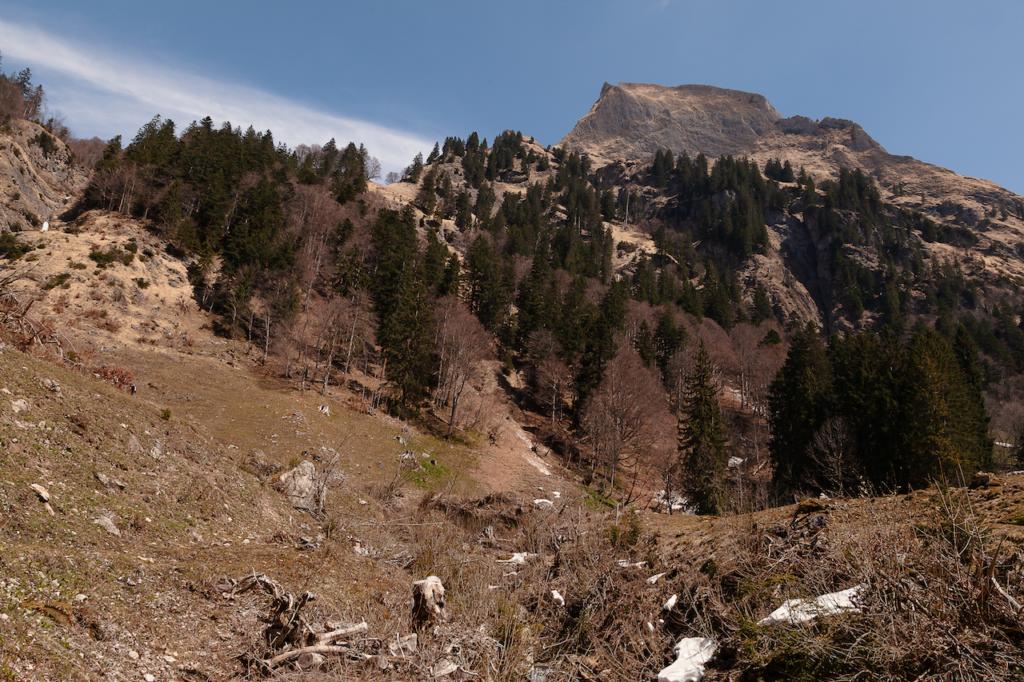
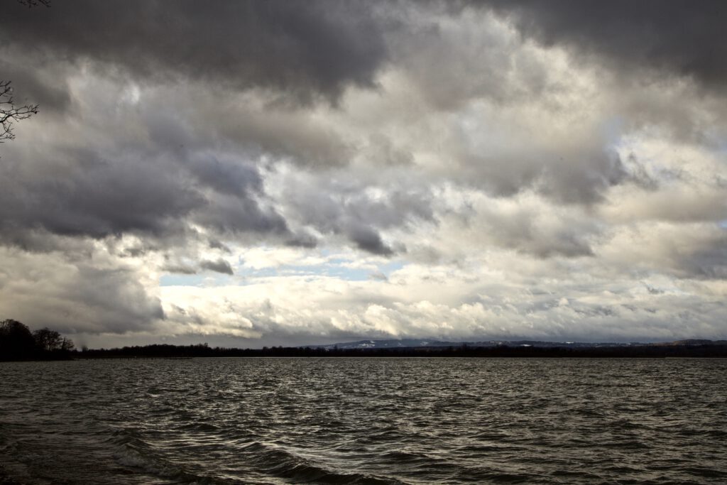
Windy Sunday Morning: Fast moving clouds, waves and snow on the hills in the background

In Southern Germany there was a windy night between January 29 and January 30. The wind calmed down a bit in the morning of Sunday, January 30. There were moderate winds at the Lake Ammersee. Temperatures were up a bit after some cold days. The snow remained in the higher places of Upper Bavaria. As often there were interesting atmospheres and cloud patterns during that stormy winter day. Even the wind was only moderate on the ground, the clouds were moving fast. It was a quick change of conditions with sunlight and overcast sky. The air was very clear This is always a condition after a storm and very useful for taking pictures or taking videos.

The winter times and morning hours are also a good time for pictures and videos, since the sun is not heigh up in the sky. Therefore there are interesting cloud colours and a crisp blue sky between the fast moving clouds. It is good to avoid walks through forest even after a frontline or a storm has passed. Open places like meadows, hills or the shoreline of a lake are safer places to capture some pictures.

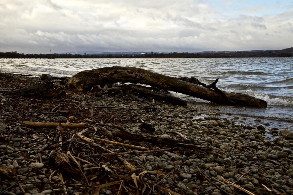
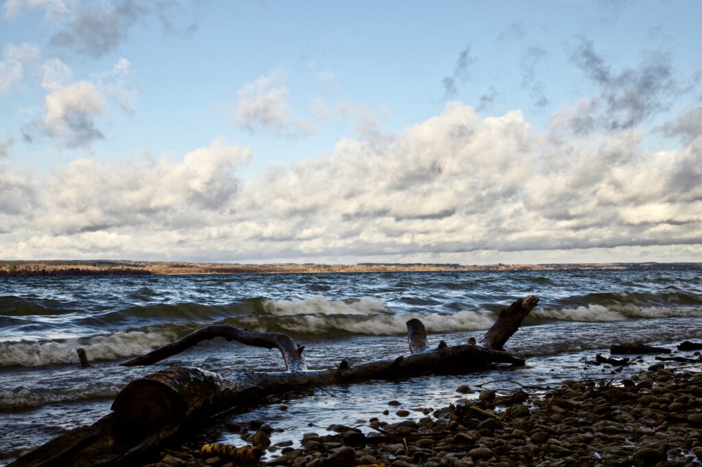
Driftwood after the storm night

The shoreline on the Eastside of the lake Ammersee, the second biggest lake of the so-called “Fünf-Seen-Land” south of Munich is a popular spot for photographers. It is close to the nature reserve “Ammersee West” and there is a sense of wilderness there. There is always driftwood and whole trees scattered around. If the branches or trees last longer in the water they can turn into sculptures. Nature is an artist here.

Thus it was the idea to take a stroll at the shore of lake Ammersee near that nature reserve and take some pics with the fast moving clouds on Sunday morning. It was only a quieter moment between two storm systems. The wind was taking up again on Monday, January 31. Temperatures dropped again and snow as falling. Series of storms are not unusual for this period of the year. However, we see now unusual extremes at any time of the years in some parts of the world. Whereas winter storm Nadia was more or less a “normal” storm, the U.S. was hit by extreme winter conditions. the same time.

After a cloudy morning there were more and more blue skies. In January the winter sky has that special blue color. After the front had passed the day before it was dry til the next day. Wind and waves changing the appearance of this special shore all the time.

Peter Engelmann, 31.01.2022

MAGIC ATMOSPHERE ABOVE THE CLOUDS: HIGH-FOG IN THE ALPS

Ideas for landscape photography in the colder season

Autumn is just around the corner. This means the days are getting shorter. The colours change. In some regions like the Alps there is more often high fog, a weather pattern where hills and peaks sometimes are above the clouds.

Fog is interesting for photographers in many ways. It adds mood and atmosphere to the pictures. Fog is useful in landscape pictures to add structure. Of course if the fog is very strong and there is nothing but a white wall it is an obstacle.

Misty days occur mostly in autumn, spring and winter. The change of temperature and moisture creates fog. There are a lot of interesting phenomena connected with fog. Sometimes it is a thin veil above a meadow. On other occasions there are thick layers of fog and the fog lasts the whole days. Sometime the fog is moving, sometimes not. In time-lapse videos the movement of fog is somehow similar to water. The shrouds of mists “float” along mountain peaks.

Since misty air is colder the fog can “fall” like a water-fall for example when fog floats over a ridge into a valley. Fog begins to form often before sunset and lasts in the morning hours. When the sun shines the mist often disappears during the day. However in river valleys like the Danube valley the mist can last much longer. It is often significantly colder in these day.

Fog is more often in regions with wetter soil like bog or wet meadows. It happens in summer too. Shrouds of mist appear after hail showers or after thunderstorms too. In July the first mornings with fog are early harbingers of the changing season. As the days become shorter and the nights getting colder misty mornings happen more often.

Its often hard to say if the fog lifts or disappears during the day. There are many different weather conditions. Fog can be also dangerous when it suddenly forms and the visibility turns to near zero. Drivers are surprised and can’t see a thing. Since conditions on a foggy day can always change quickly it is good for drivers to slow down particularly on motorways and highways when a layer of fog appears.

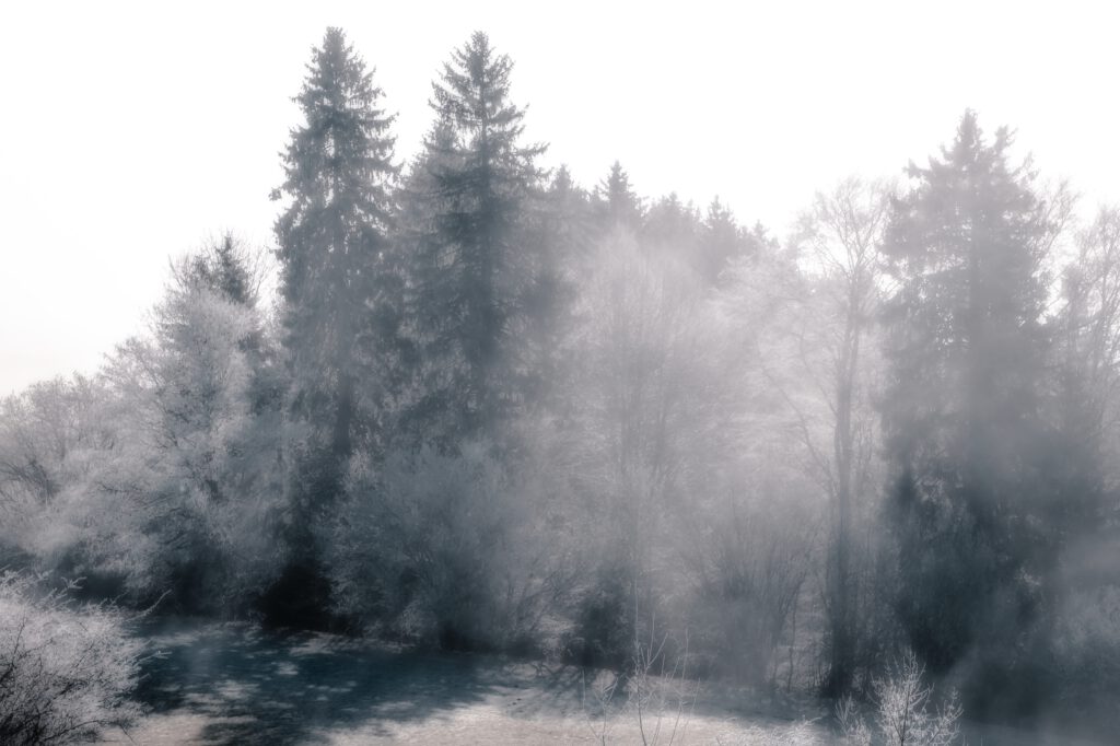
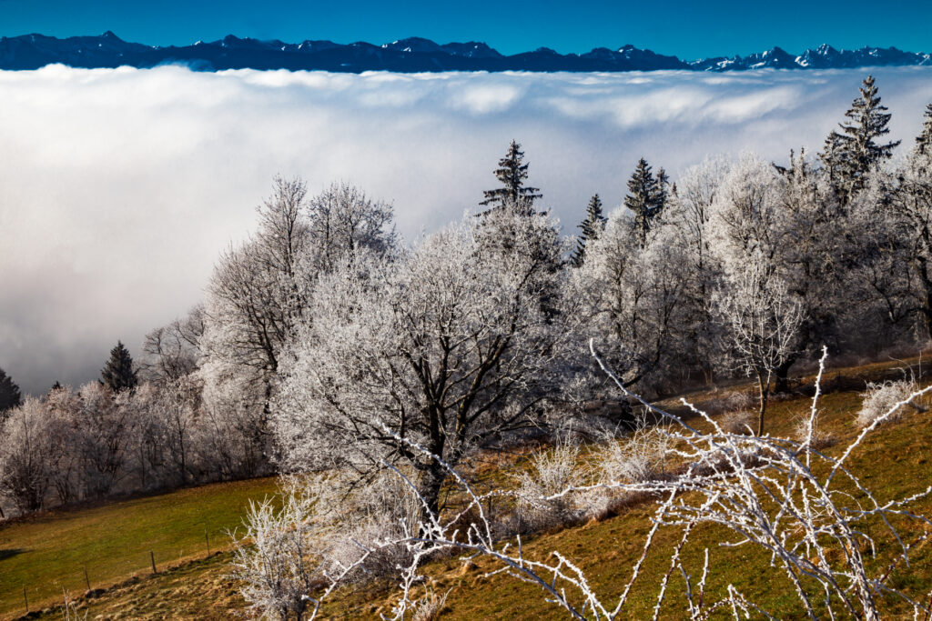
If the weather is cold fog can lead to hoar frost. Ice crystals form and surround twigs and trees. This a particularly interesting phenomenon.

There is one form of fog which is great for photographers if they are in a regions with hills or mountains. Mostly in autumn there are days with high fog. This happens when a thermal inversion occurs. This means you have low ground temperatures and a layer of higher temperatures above that prevent the convection currents. These convection currents usually mix in the atmosphere. You can think of a thermal inversion like a saucepan lid. It keeps the colder moist air layer with fog from rising. This happens a lot in basins and during periods of high pressure weather when there is not much wind.

The video below was taken in the morning of February 28, 2021 with a Canon 5d Mark2. The time-lapse shows the movement of the shrouds of mist above the hillside between the Hohen Peissenberg and the peaks of the Bavarian mountains. There is a quick change in visibility and a change in lighting condition. For video it is good to go into manual mode and fix aperture before shooting.

At the border between the layer of cold air and the warm air on top the cold air layer there are very interesting effects which are useful for pictures and videos. The challenge is to predict where that border is: Where does the blue sky break through the thick layer of mist? And when does it happen? Actually this is a lot of try and error.

Knowing some good places is “money in the bank”. You might want to get to a hill or mountain which is easily accessible and high enough that you can get above the cold air layer with mist. In Germany, Bavaria the Hohen Peissenberg with its famous old weather observatory is a good spot. Mostly because there is a road to the top of this mountain. The top of the Hohen Peissenberg has an elevation of 987 metres. However on some days the layer of mist will be above your heads and you need to find a higher mountain.

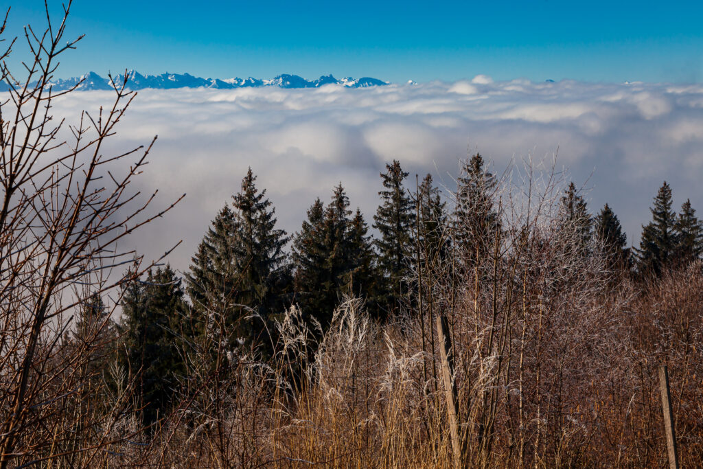
The pictures were taken on a spring day in 2021. That day there was a typical thermal inversion. In the morning the Hohen Peissenberg mountain was in the middle of a thick layer of high fog. But in the following hours the sun broke through and there was a very interesting scenery with fast changing moods and impressions.

The Forest between mist and light

Hoar Frost after a cold night in the mist. When the mist disappears the whitened trees create a unique scenery
Looking towards the Allgäu Mountains

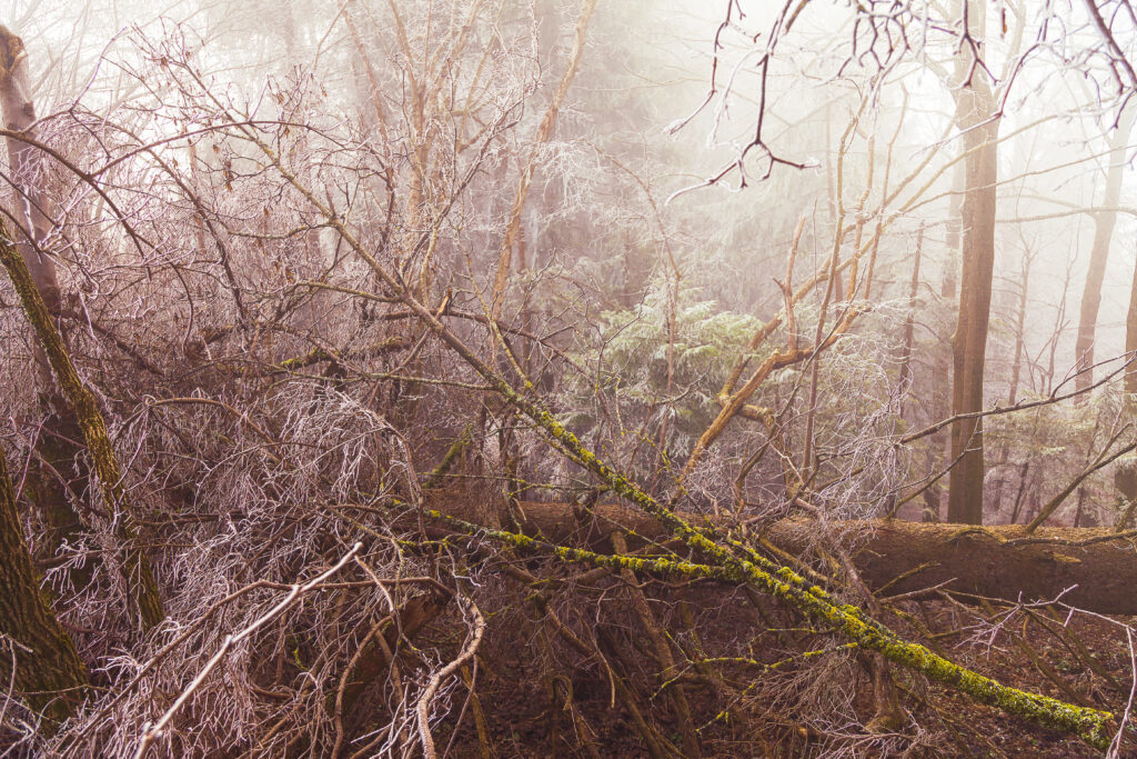
The wilderness near the top of the Hohenpeissenberg Mountain. The fog creates an otherworldly atmosphere.

Extreme Weather In Southern Germany June 2021

Peter Engelmann, July 3, 2021

2021: A cold spring with temperatures in May below average. Luckily there was lot of rain in parts of Germany after a drought since 2018 in some areas which damaged trees and raised serious concerns for example about the future of the water balance and water supply. In June a heat wave followed. However unlike in previous years there were no long lasting high pressure systems. The weather situation wasn’t so far stable for a long time. The heat wave ended with some extreme weather events. And again, we had situations for example in South-West-Germany or in Landshut, lower Bavaria, which were unprecedented. There are a lot of discussions now going on if this is climate-change related or if it is another rare weather pattern.

Things began to change in Bavaria June 20, 2021. The days before had been mostly dry except first thunderstorms in the Southwest and in the Alps. On June 20 there were some rumble and not so intense lightning in the region west of lake Ammersee. As usual there are huge local differences: There were soon stronger thunderstorm whereas a few kilometres apart from that place nothing or little happened. That’s very usual and always challenges weather forecasters.

Thunderstorm in the early evening hours of June 20:

Short lived thunderstorm cell June 20, 2021

The next days there was a much different weather situation: In the late afternoon or evening real strong thunderstorms occurred. Rotating supercell storms were also reported in the Southern Germany. Even more extreme weather happened in France where an air mass boundary created havoc. In France huge clusters of thunderstorms formed repeatedly and moved to Belgium and North-West Germany.

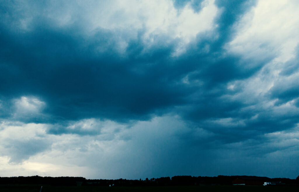
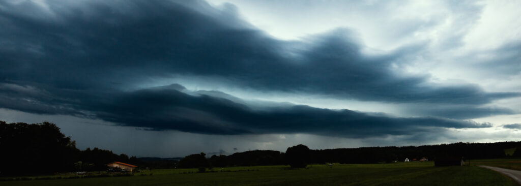
Strong thunderstorm on June 24, 6.45 p.m. near Diessen (Lake Ammersee, Upper Bavaria)

Thunderstorm approaching June 24, 2021

The extreme weather with strong thunderstorms, flash-floods, even extreme hail with enormous hailstones and masses of hail lasted for a couple of days. The reason: The air mass boundary moved only slowly in Europe. It worked like a machine charging up the atmosphere and creating new thunderstorms. A time-lapse video from June 21, 2021 late afternoon gives you some idea how quickly the storms formed:

It was interesting that there were very different types of thunderstorms. The location southwest of the Ammersee experience short-lived thunderstorms, a thunderstorm which arrived very quickly as the next day there was slow movement and plenty of time to take pictures. In the night there was also one of the “stroboscope”-like thunderstorms, where you hear not much loud thunder but you see an incredible light show with high rates of flashes. There were both thunderstorms without wind and thunderstorms with very strong wind.

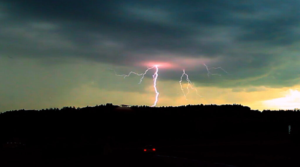
The thunderstorm on June 24 created some great lightning:

Lightning June 24, 2021

The storm below occurred June 28, 2021 and brought intense lightning. However it was completely different as the “strobe-storm” the night before before. The lightning was also better visible. After one of the storms there was also a thick mist around sunset. Later the mist vanished and another thunderstorm with strong lightning occurred. The stronger storms came mostly from the Alps.

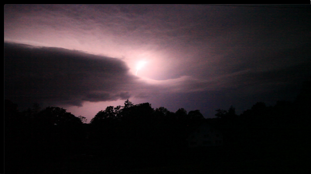
Thunderstorm in the evening of June 28, 10.00 p.m:

Lightning June 28. 2021

Flash Floods and Super Cell Storms

Finally there was an exchange of air mass. The hot humid air was replaced by colder air. June 29 was the climax of the series of thunderstorms in Germany: In Bavaria, a super-cell coming from Baden-Württemberg, intensified and brought an incredibly flash flood in Landshut Lower Bavaria. The days before a deadly tornado happened in the Czech republic. The video shows the aftermath of the big storm on June 29 which was accompanied by very strong winds.

Here is also an interesting thing for photographers and videographers: Usually most people are interested to catch a storm coming to them or before it happens. But there is a lot of possibilities to get interesting moods and pictures when the storm passed. The video belows shows what was going on in the atmosphere after this huge thunderstorm on June 29.

Thunderstorms before Sunset

In Upper Bavaria weather changed Sunday, June 28. Along the Allgäu Mountains, intense rainfall began in the afternoon. Thunderstorms with hail occurred in the south-east of Bavaria. The hailstorm pilots near Chiemsee started four times theses days. Clouds and rain created a magical atmosphere around Weissensee not far from the famous Neuschwanstein castle.

Three days later an impressing thunderstorm happened in the early evening hours in South-Bavaria. It was before sunset. Thus there were interesting effects with a colored sky. There were some intense local rainshowers and the weather lasted for more days.

On July 2 a supercell-storm devastated an area around Murnau, which is not far from Garmisch Partenkirchen. Witnesses reported that there was both hail and a flashflood rain at the same time. They could not remember a similar phenomenon happened before. Within 15 minutes streets were flooded and cows had to be rescued from a farm.

Later the week the weather calmed down. This kind of weather is very typical for the season in Bavaria. There is always a change between warm summer days and rain except the last years when a drought happened. Most of the severe storms in Germany happen in July. In 1984 an unparalleled hailstorm led to incredible destruction in Bavaria’s capital Munich.

Intense supercell-storms, hail and flash floods can, however, occur any time between May and September. In June 2019 a hailstorm led to a lot of destruction in the Northern-Ammersee region. In some years there were storms with flooding in May. Storms happen also in August, usually in September heavy thunderstorms are not so often because the days are getting shorter. There is less energy from the sunlight to generate these type of storms however there are weather patterns which could also lead to strong storms in October. In September 2017 lightning hit the Munich Octoberfest.

Thunderstorms with devastating hail happen more often in the south-east of Upper Bavaria rather than in the Allgäu. Usually, the storms develop over the hills and mountains in the West and move to the East. A squadron of Hailstorm pilots, “Hagelflieger” from Vogtareuth protects the area around lake Chiemsee efficiently and gather important scientific information.